Location
- Latitude: 60.445624
- Longitude: -149.350612
- USGS Map: SEWARD B-7
- Elevation (m): 178
- MTRS: S004N001E07
- Management Area: Kenai (Upper Kenai Peninsula)
Access
- Latitude: 60.445624
- Longitude: -149.350612
- Directions: Mile 25.1 Seward Hwy. East side of highway and south end of Lower Trail Lake a small parking area at Vagt Trailhead. Hike 1.5 miles to lake. NOTE: Leave No Trace. Keep lake and access sites free of litter.
- Improvements:
- foot trail
- trail
- camping
- picnic area
- Notes: *Rustic campsites.
- Status: DNR/ILMA
Lake Characteristics
- Surface Area (ha): 17.4
- Bathymetric Map: vagt.gif
- Lake Category: Weired or Barriered
- Maximum Depth (m): 15.2
- Most Recent Survey Date: 4/16/2024
- Most Recent Survey Notes: Lake size and area data date unknown. Lake category entered 4/16/2024.
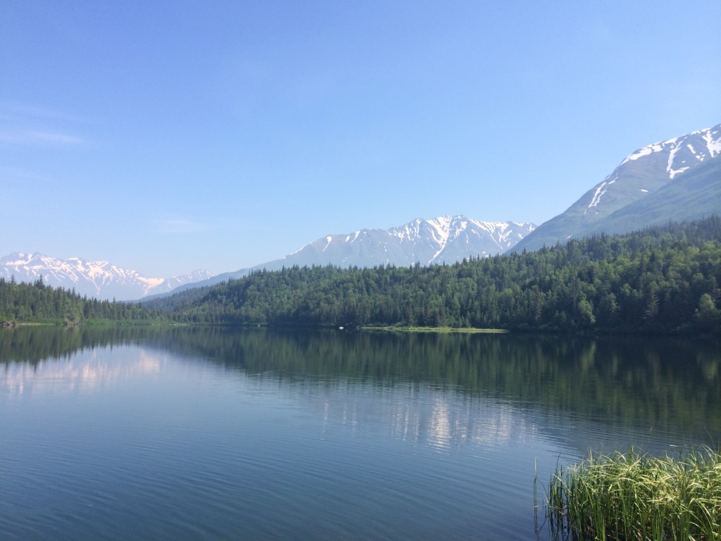
Photos
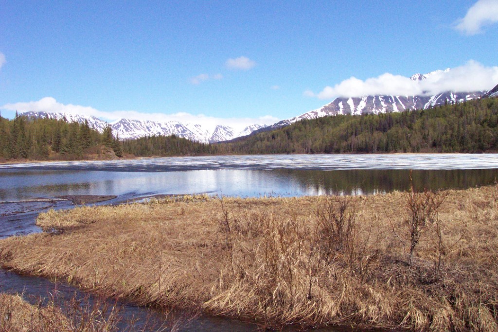
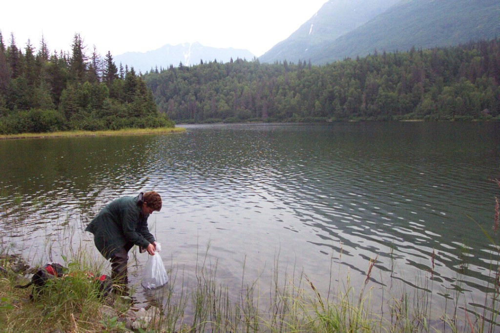
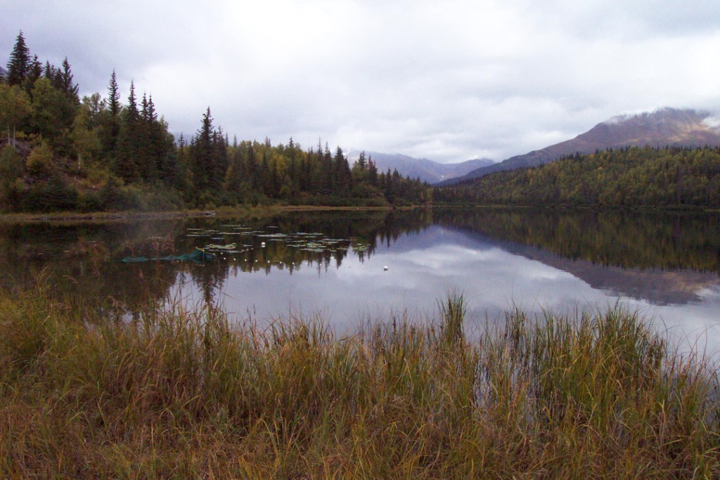
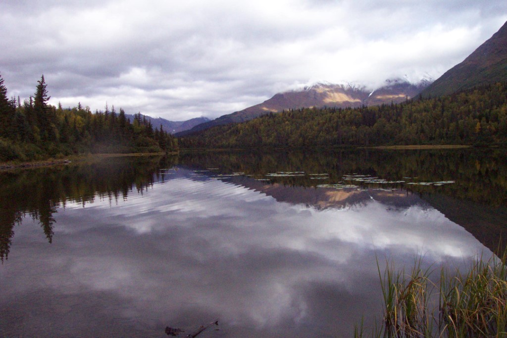
Download Linked Documents
- Vagt Lake site evaluation.pdf
- 2000-2007_Lake_Assessment_ Report.pdf
- Vagt_Historic_Fish_Sampling_Summary.pdf
- Vagt_Historic_Lake_Survey_Summary.pdf
- Vagt_Historic_Stocking_Record.pdf
- Vagt_Historic_Lake_Restoration.pdf
- Vagt_Historic_Net_Record.pdf
- Vagt_Historic_Misc.pdf
- Vagt_Historic_Temp_Profile.pdf
- Vagt_Historic_Bathymetric_Map.pdf
- Vagt_Brochure_2022.pdf