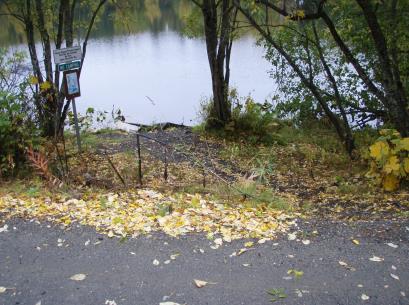
Location
- Latitude: 60.769622
- Longitude: -151.143791
- USGS Map: KENAI D-4
- Elevation (m): 53
- MTRS: S008N011W24
- Management Area: Kenai (Upper Kenai Peninsula)
Access
- Latitude: 60.769622
- Longitude: -151.143791
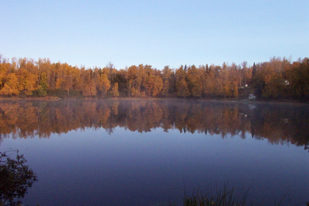
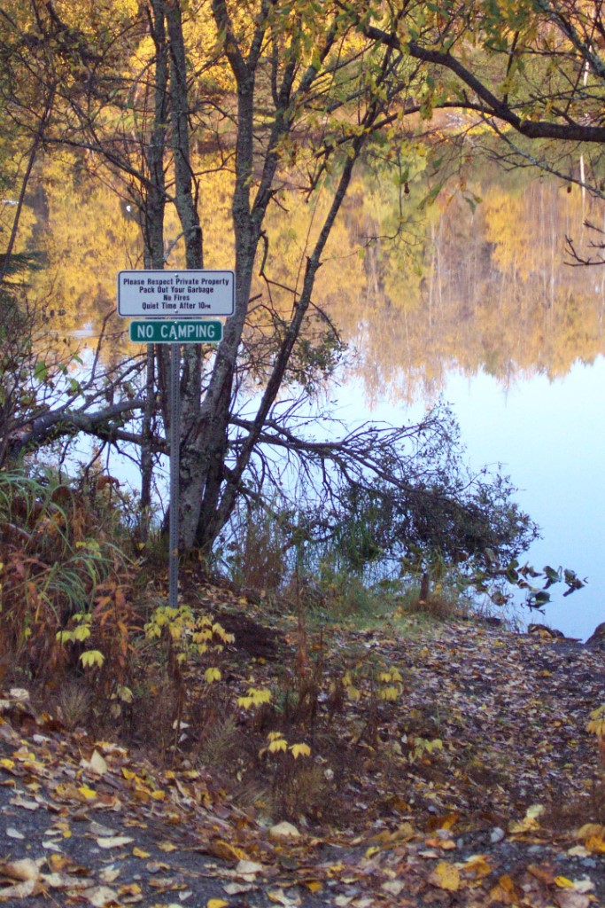
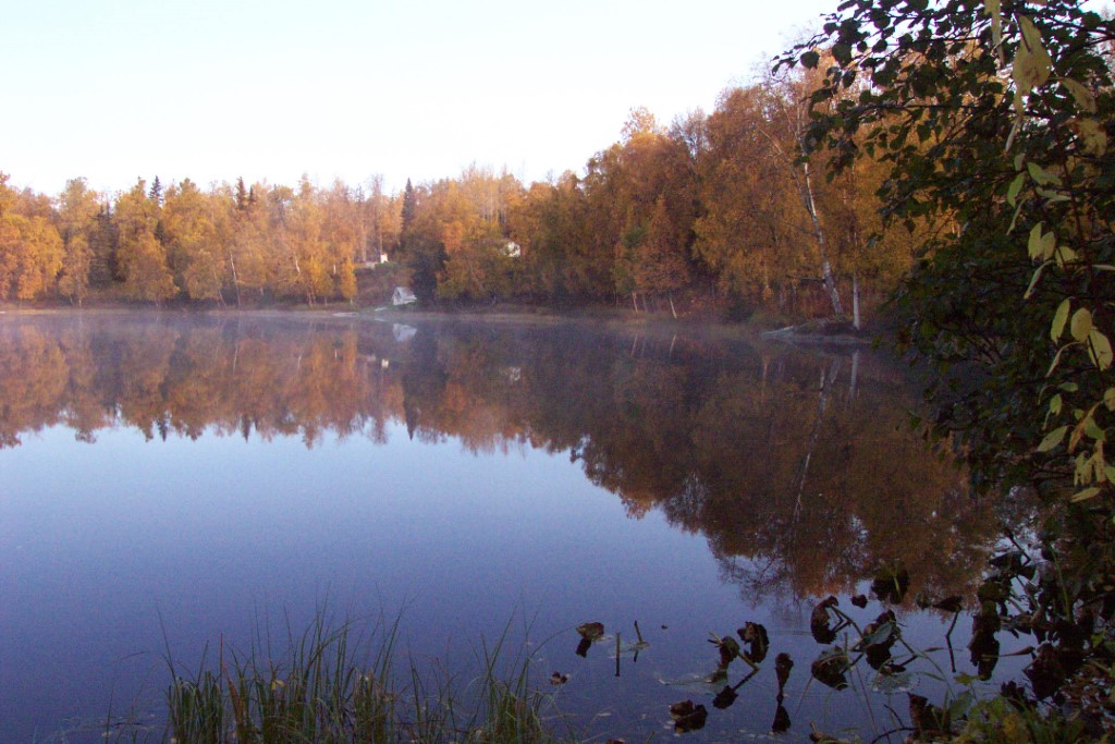
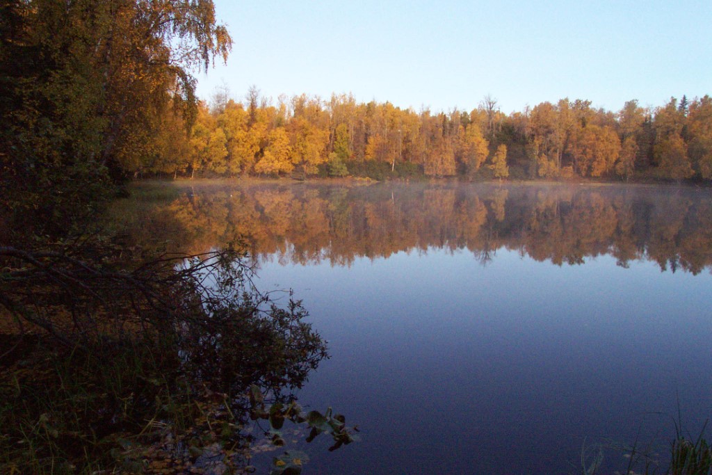
- Directions: Mile 94.3 Sterling Hwy. North on Kenai Spur Rd. 33.2 miles to Bohlin Road in Peninsula Park Estates subdivision. Left on Bohlin Rd. 0.1 miles to Seascape. Right on Seascape for 0.1 mi. to public access on left where lake is closest to the road. Park on the right shoulder. Limited parking and no boat launch. NOTE: Please respect property. Keep lake and access sites free of litter.
- Status: Road ROW
Lake Characteristics
- Surface Area (ha): 4
- Bathymetric Map: Cecille.gif
- Maximum Depth (m): 10.6
Photos