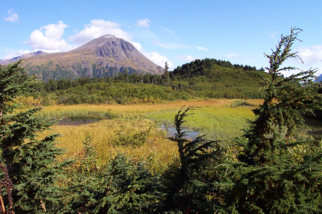
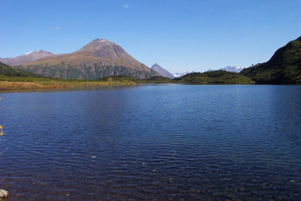
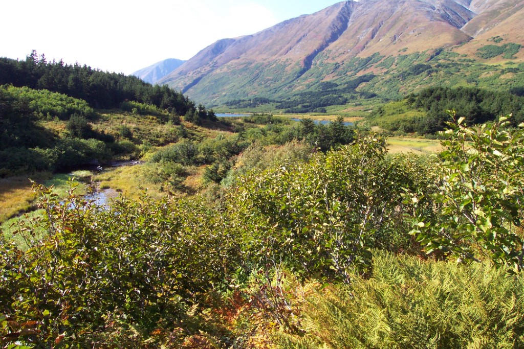
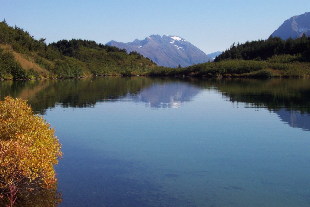
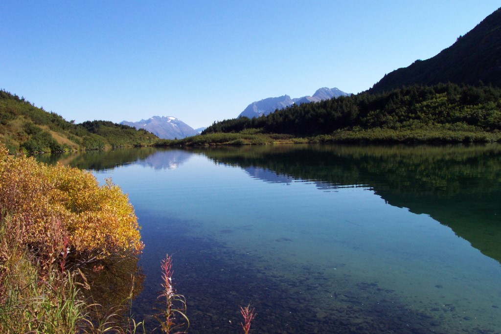
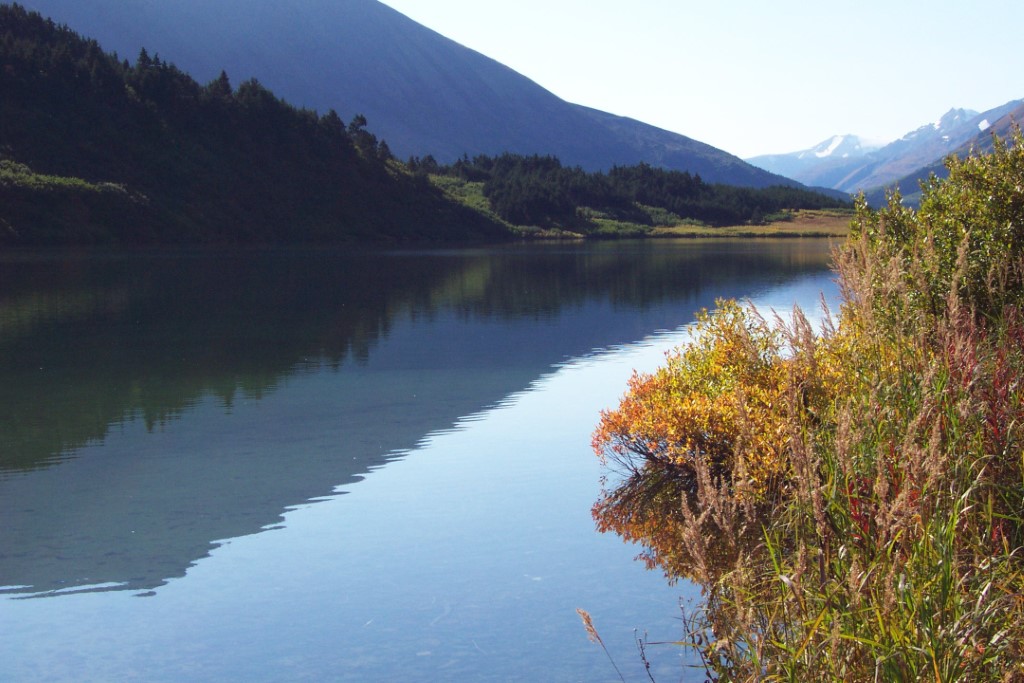
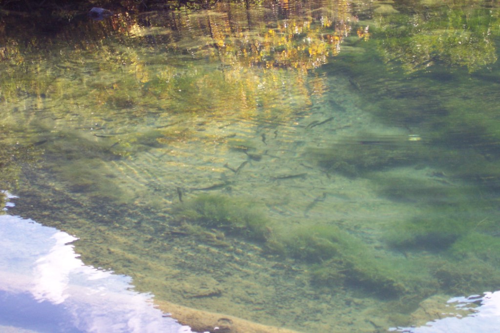
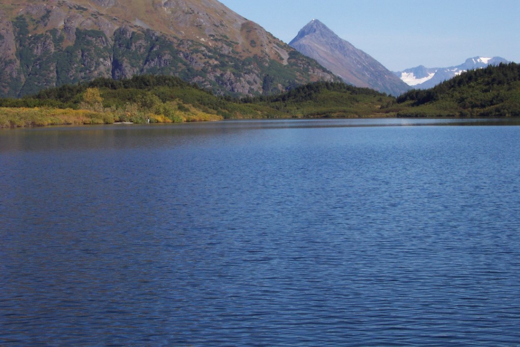
Location
- Latitude: 60.489417
- Longitude: -149.463812
- USGS Map: SEWARD B-7
- Elevation (m): 461
- MTRS: S005N001W28
- Management Area: Kenai (Upper Kenai Peninsula)
Access
- Latitude: 60.489417
- Longitude: -149.463812
- Directions: Walk-in lake at Mile 33 Seward Hwy., at Chugach National Forest trailhead with parking and toilet facilities. Well-developed but steep trail climbs 986 ft. in 2.0 miles. NOTE: Leave No Trace. Keep lake and access sites free of litter.
- Improvements:
- foot trail
- trail
- parking
- camping
- Notes: *Bear resistant food locker *Trail to Crescent Lake
- Status: U.S. Forest Service
Lake Characteristics
- Surface Area (ha): 19.4
- Bathymetric Map: Carter.gif
- Lake Category: Weired or Barriered
- Maximum Depth (m): 18.3
- Most Recent Survey Date: 4/16/2024
- Most Recent Survey Notes: Lake size and area data date unknown. Lake category entered 4/16/2024.
Photos