Location
- Latitude: 64.20022
- Longitude: -146.58244
- USGS Map: BIG DELTA A-6
- Elevation (m): 358
- MTRS: F008S006E21
- Management Area: Delta (Upper Tanana River Drainage)
- Sub Area: Richardson Hwy
- Drainage: Delta River
Access
- Latitude: 64.198878
- Longitude: -146.600493
- Directions: Lake is located 52 air miles south east of Fairbanks, trailhead is located at 307.2 mile Richardson Hwy (winter access only) south of Birch Lake, trail crosses the Tanana and Little Delta rivers.
- Improvements:
- winter trail
- Notes: Some of the land around Koole Lake is state owned property and some is military land. A U.S. Army Garrison Alaska recreational access permit called the "Sikes Act Permit" (SAG) may be required and can be obtained online at https://usartrak.isportsman.net/. This lake is in training area TA 544.
- Status: State Owned Property
Lake Characteristics
- Surface Area (ha): 85.6
- Bathymetric Map: Koole.jpg
- KOOLELAKE.gif
- Lake Category: Landlocked
- Maximum Depth (m): 7
- Most Recent Survey Date: 7/20/2004
Photos
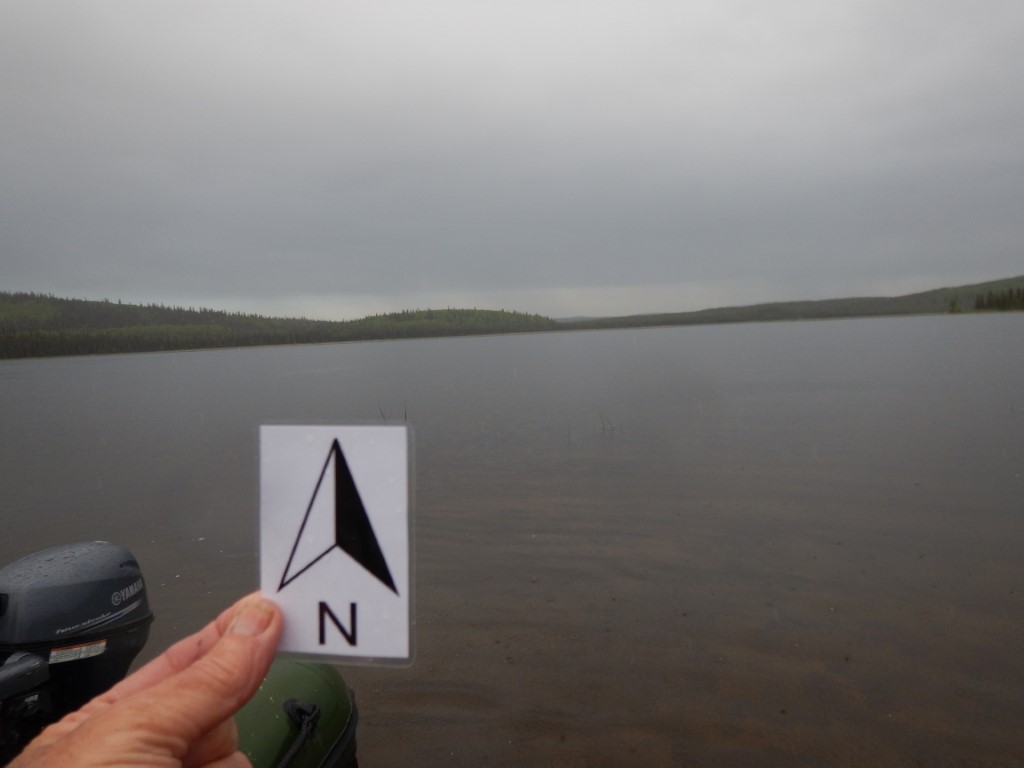
_N looking S.JPG)
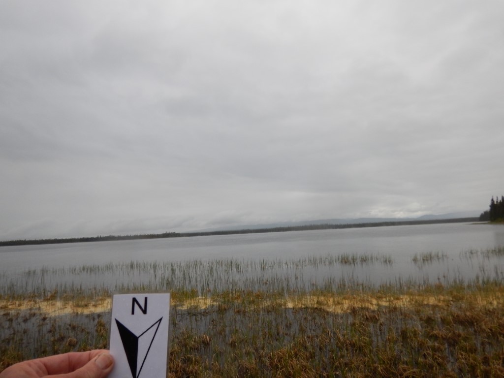
_N looking SW.JPG)