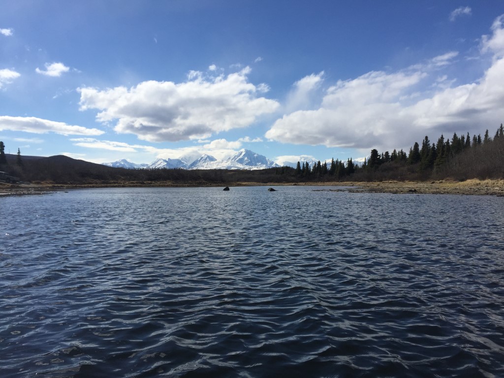
Location
- Latitude: 63.833453
- Longitude: -145.835819
- USGS Map: MT HAYES D-4
- Elevation (m): 594
- MTRS: F012S010E32
- Management Area: Delta (Upper Tanana River Drainage)
- Sub Area: Meadows Rd
- Drainage: Delta River
Access
- Latitude: 63.833453
- Longitude: -145.835819
- Directions: Mile 257.6 Richardson Hwy, turn west on gravel road (Ft. Greely Meadows Rd), travel 7.5 miles and turn left onto Windy Ridge Rd, travel 3 miles, take trail located north of road and travel 0.2 miles to lake.
- Improvements:
- trail
- Notes: U.S. Army Garrison Alaska recreational access permit called the "Sikes Act Permit" (SAP) is required and can be obtained online at https://usartrak.isportsman.net/. This lake is in training area TA 528.
- Status: Military Reservation
Lake Characteristics
- Surface Area (ha): 7.1
- Bathymetric Map: J_2026.jpg
- J-Lake.gif
- JLakeBathym1974.PDF
- J.jpg
- J_2026_color.jpg
- Geo-Referenced Bathymetric Maps:
- J_2026_color_GeoPDF.pdf
- Lake Category: Weired or Barriered
- Maximum Depth (m): 18.7
- Most Recent Survey Date: 8/13/2026
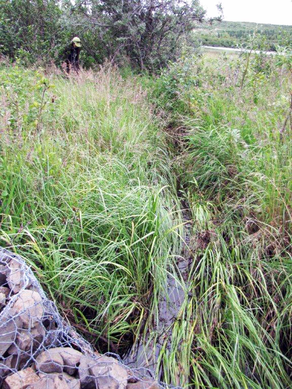
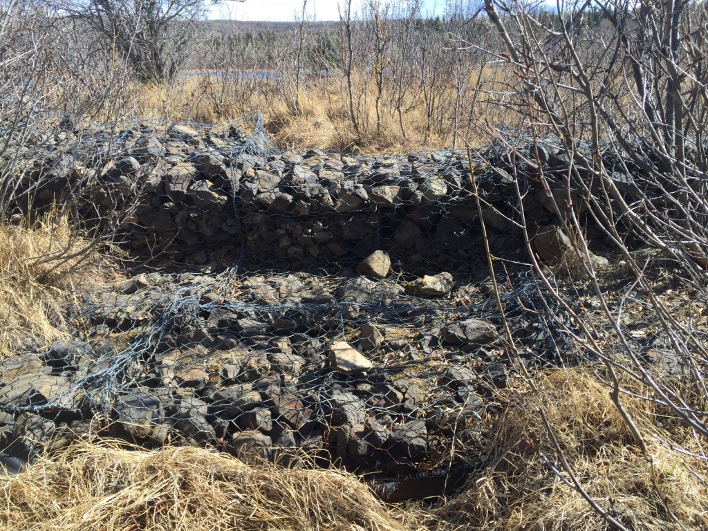
- Most Recent Survey Notes: Depth data were collected August 13, 2026. Perimeter shape generated using Alaska High Resolution Imagery (AHRI) 2020 WMTS September 2026. Inlet from Chet Lake via culvert under road. Rock barrier at outlet to Josh Lake. Connections are dependent on water level.
Photos