Location
- Latitude: 64.434741
- Longitude: -146.880849
- USGS Map: BIG DELTA B-6
- Elevation (m): 218
- MTRS: F005S004E36
- Management Area: Fairbanks (Lower Tanana River Drainage)
- Sub Area: Richardson Hwy
- Drainage: Tanana River
Access
- Latitude: 64.434741
- Longitude: -146.880849
- Directions: Mile 321.5 Richardson Hwy, turn east onto Harding Dr and follow road to lake.
- Improvements:
- parking
- outhouse
- camping
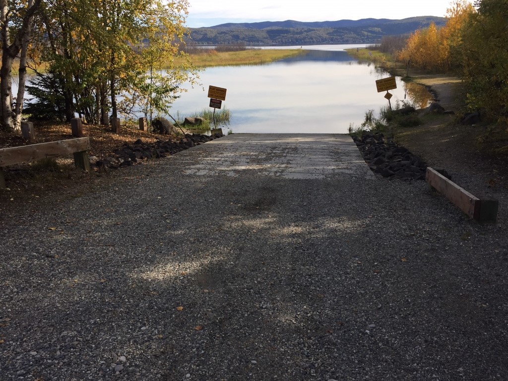
- boat launch
- picnic area
- Status: State Owned Property
Lake Characteristics
- Surface Area (ha): 887.2
- Bathymetric Map: Harding2013.jpg
- Harding.jpg
- HARDINGLAKE.gif
- Harding2013_feet.jpg
- Harding_Lake.pdf
- Harding_Lake.kmz
- Lake Category: Landlocked
- Maximum Depth (m): 43
- Most Recent Survey Date: 7/22/2013
- Most Recent Survey Notes: Surface area calculated using common GINA imagery.
Photos
.JPG)
.JPG)
.JPG)
.JPG)
.JPG)
.JPG)