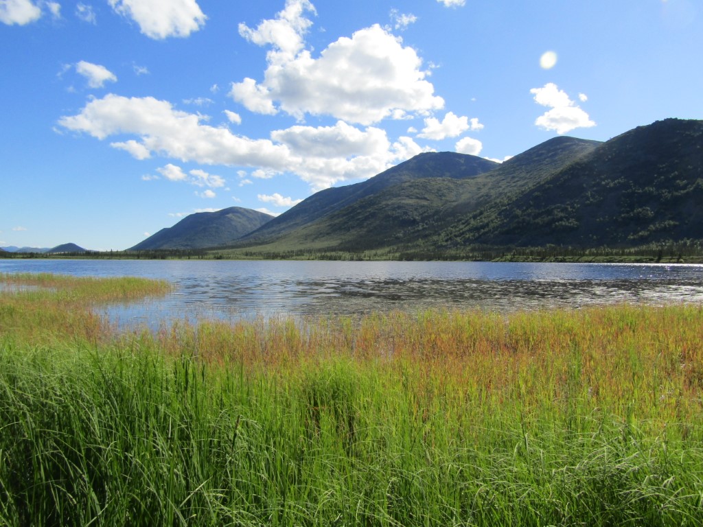
Location
- Latitude: 66.95461
- Longitude: -150.39212
- USGS Map: BETTLES D-1
- Elevation (m): 427
- MTRS: F025N013W34
- Management Area: Yukon River Drainage
Access
- Latitude: 66.95461
- Longitude: -150.39212
- Directions: Adjacent to Haul Road between Prospect and Coldfoot, 3.2 miles north of Jim River.
- Notes: Commonly used by float planes.
- Status: Road ROW
Lake Characteristics
- Surface Area (ha): 37.3
- Bathymetric Map:
- GraylingLake_2023_m_Color.jpg
- GraylingLake_2023_Color.jpg
- Geo-Referenced Bathymetric Maps:
- GraylingLake_2023_GeoPDF.pdf
- Maximum Depth (m): 4.1
- Most Recent Survey Date: 6/4/2023
- Most Recent Survey Notes: Abundant Arctic grayling population, which were actively spawning during early June 2023. No other fish species observed in one sampling night of fyke nets, minnow traps, and tangle nets.
Photos