Location
- Latitude: 63.867657
- Longitude: -145.824032
- USGS Map: MT HAYES D-4
- Elevation (m): 544
- MTRS: F012S010E17
- Management Area: Delta (Upper Tanana River Drainage)
- Sub Area: Meadows Rd
- Drainage: Delta River
Access
- Latitude: 63.867657
- Longitude: -145.824032
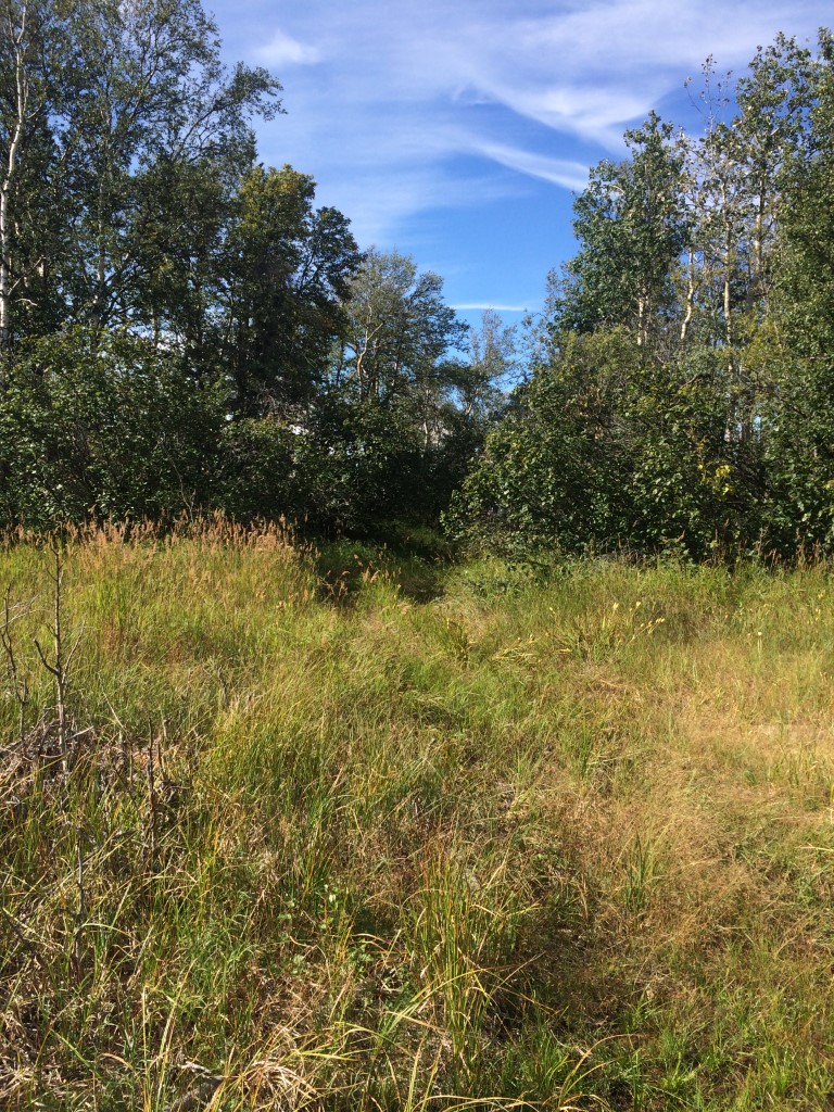
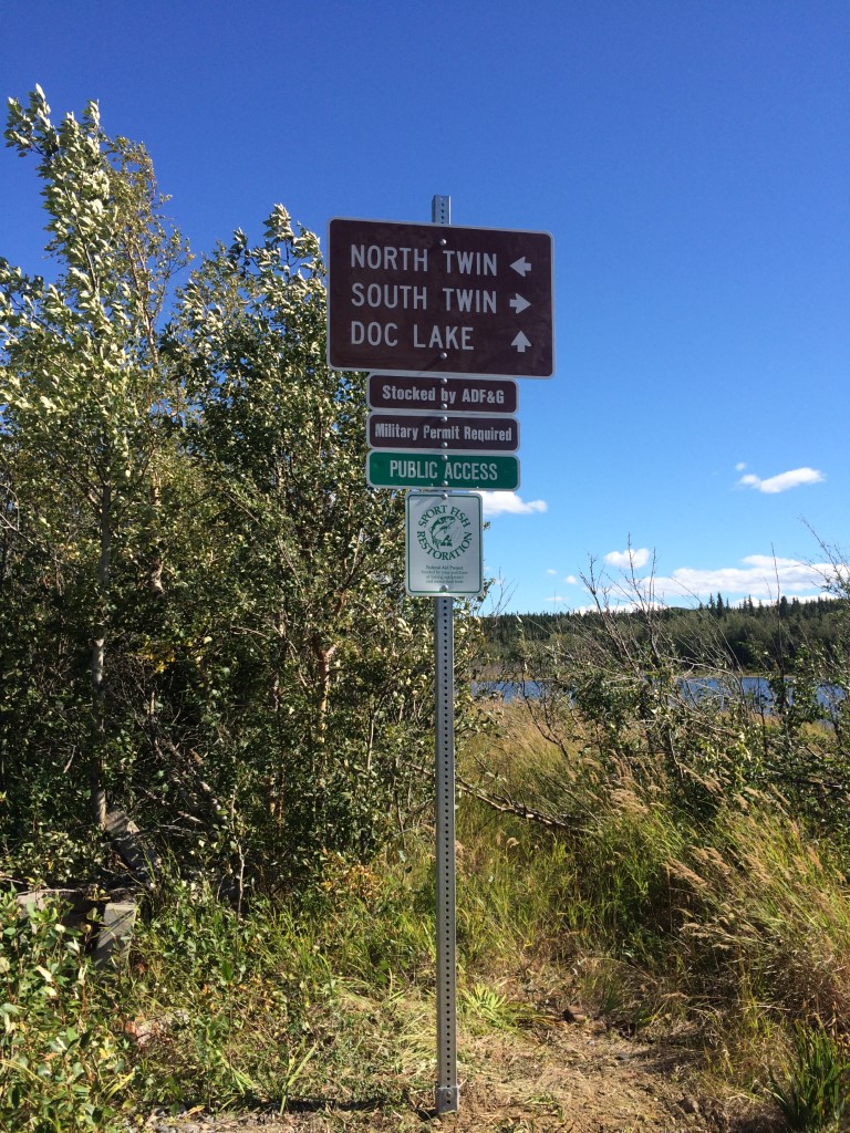
- Directions: Mile 257.6 Richardson Hwy, turn west on gravel road (Meadows Rd), the trail head is located between North and South Twin lakes. From the parking area travel east 0.4 miles to T, go left (north) at T and travel 0.34 miles to Y, stay right (east) at Y and travel 200 yards to lake.
- Improvements:
- trail
- Notes: U.S. Army Garrison Alaska recreational access permit called the "Sikes Act Permit" (SAP) is required and can be obtained online at https://usartrak.isportsman.net/. This lake is in training area TA 528.
- Status: Military Reservation
Lake Characteristics
- Surface Area (ha): 1.4
- Bathymetric Map: Doc_2026.jpg
- Doc_Lake(Ft.Greely).gif
- Doc.jpg
- Doc_2026_Color.jpg
- Geo-Referenced Bathymetric Maps:
- Doc_2026_Color_GeoPDF.pdf
- Lake Category: Landlocked
- Maximum Depth (m): 11.8
- Most Recent Survey Date: 6/15/2026
- Most Recent Survey Notes: Depth data collected June 15, 2026. Perimeter shape generated using Basemap World Imagery July 2026.
Photos