Location
- Latitude: 62.861405
- Longitude: -145.476192
- USGS Map: GULKANA D-3
- Elevation (m): 897
- MTRS: C013N001W31
- Management Area: Glennallen (Upper Copper-Upper Susitna Drainages)
- Sub Area: Richardson Hwy
- Drainage: Gulkana River
Access
- Latitude: 62.861405
- Longitude: -145.476192
- Directions: Mile 173.2 Richardson Hwy, lake is located on east side of road, access via a narrow side road with NO turnaround space, follow short trail to lake.
- Improvements:
- trail
Lake Characteristics
- Surface Area (ha): 14.1
- Bathymetric Map: DickL_2023.jpg
- dick.gif
- Dick.jpg
- DickL_2023_Color.jpg
- Geo-Referenced Bathymetric Maps:
- DickL_2023_Color_GeoPDF.pdf
- Lake Category: Landlocked
- Maximum Depth (m): 11
- Most Recent Survey Date: 8/29/2023
- Most Recent Survey Notes: Depth data collected August 28-29, 2023. Alaska High Resolution Imagery (AHRI) 2020 WMTS was used to determine the lake perimeter.
Photos
_Dick Lake 1.JPG)
_Dick Lake 2.JPG)
_Dick Lake Trail.JPG)
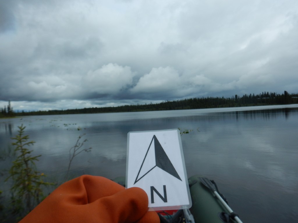
.JPG)