Location
- Latitude: 63.705764
- Longitude: -145.829242
- USGS Map: MT HAYES C-4
- Elevation (m): 833
- MTRS: F014S010E16
- Management Area: Delta (Upper Tanana River Drainage)
- Sub Area: Coal Mine Rd
- Drainage: Delta River
Access
- Latitude: 63.705764
- Longitude: -145.829242
- Directions: Mile 242 of Richardson Hwy, turn east onto Coal Mine Rd (gravel road), travel 2.7 miles, lake is located 10 yards south of road.
- Improvements:
- trail
Lake Characteristics
- Surface Area (ha): 1.8
- Bathymetric Map: Rangeview_2024.jpg
- RANGEVIEWLAKE.gif
- Rangeview.jpg
- Rangeview_2024_color.jpg
- Geo-Referenced Bathymetric Maps:
- Rangeview_2024_color_GeoPDF.pdf
- Lake Category: Landlocked
- Maximum Depth (m): 5.5
- Most Recent Survey Date: 5/29/2024
- Most Recent Survey Notes: Depth data collected May 29, 2024. Alaska High Resolution Imagery (AHRI) 2020 WMTS was used to determine the lake perimeter.
Photos
_Rangeview 1.JPG)
_Rangeview 2.JPG)
_Rangeview 3.JPG)
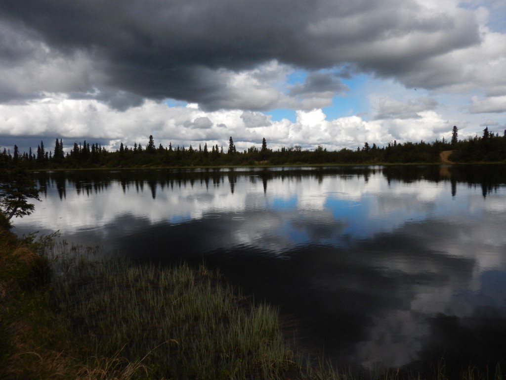
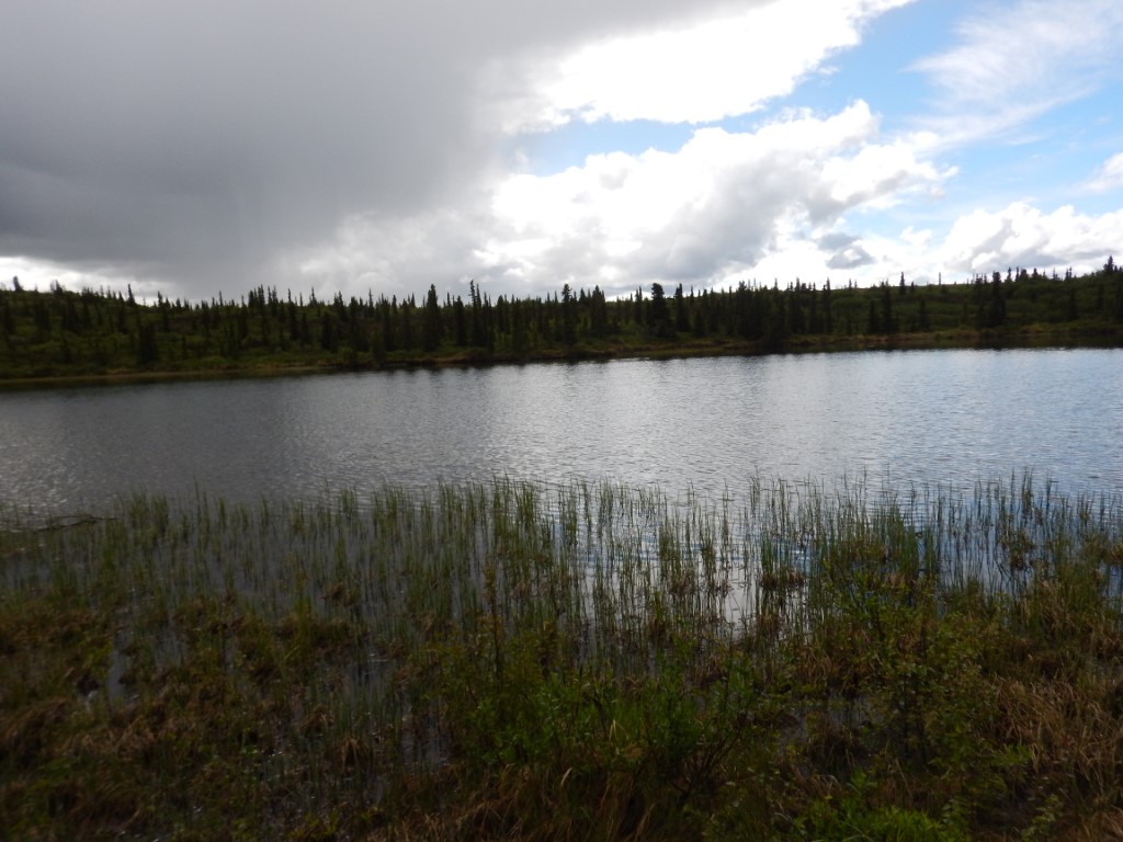
.JPG)