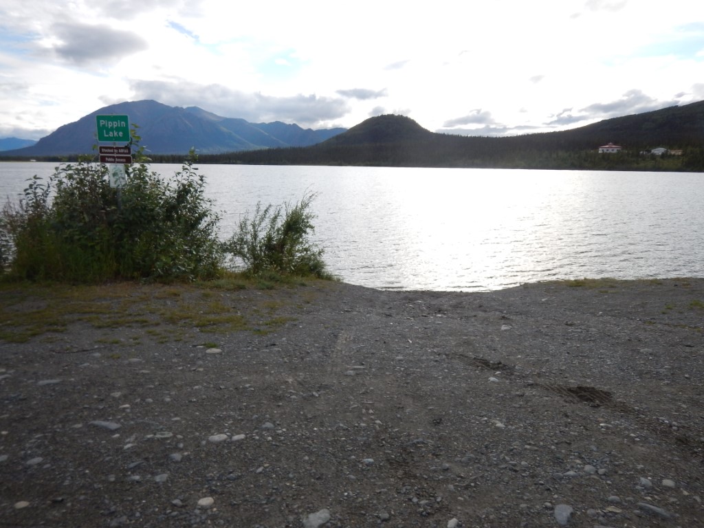
Location
- Latitude: 61.713705
- Longitude: -145.163236
- USGS Map: VALDEZ C-4
- Elevation (m): 608
- MTRS: C002S001E11
- Management Area: Glennallen (Upper Copper-Upper Susitna Drainages)
- Sub Area: Richardson Hwy
- Drainage: Tonsina River
Access
- Latitude: 61.713705
- Longitude: -145.163236
- Directions: Located west of Richardson Hwy, across from the Edgerton Hwy.
- Improvements:
- trail
Lake Characteristics
- Surface Area (ha): 64.1
- Bathymetric Map: Pippin.jpg
- Pippin_L.gif
- Lake Category: Intermittent Outlet
- Maximum Depth (m): 3.5
- Most Recent Survey Date: 8/13/2003
Photos
_Pippin Lake 12-2013.JPG)
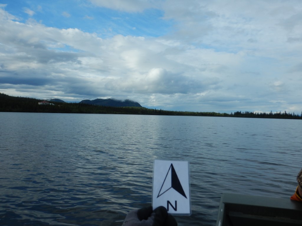
_Pippin Lake looking SE.JPG)
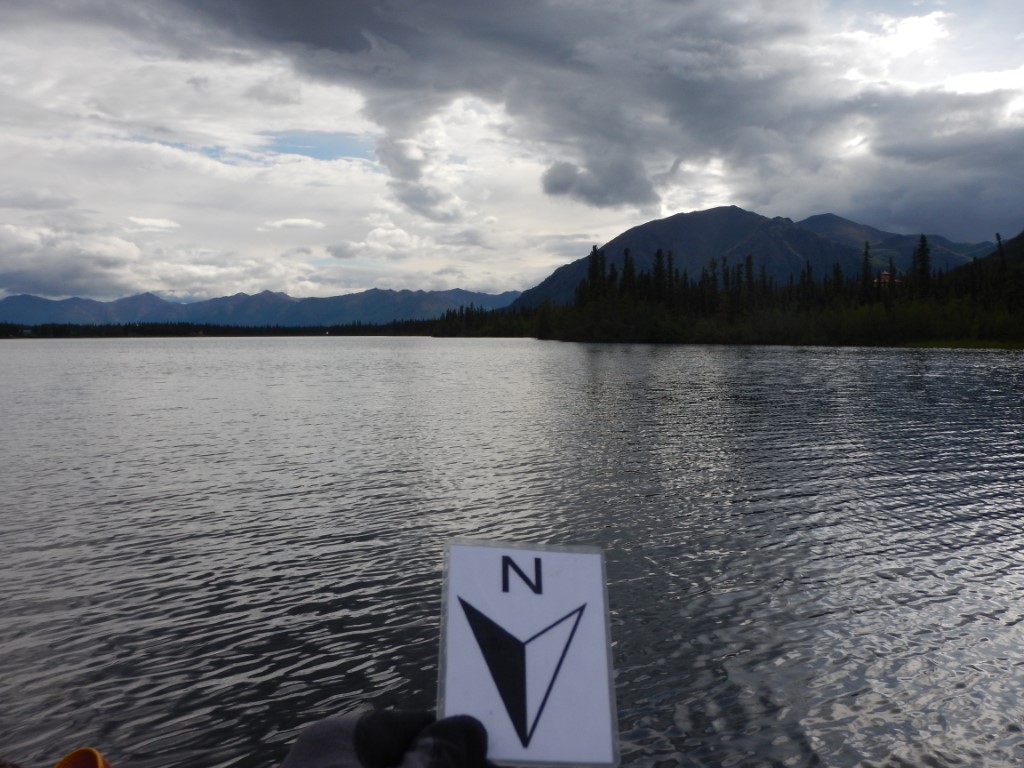
_Pippin Lake looking SW.JPG)
.JPG)