Location
- Latitude: 65.076691
- Longitude: -147.746478
- USGS Map: LIVENGOOD A-2
- Elevation (m): 163
- MTRS: F003N001W21
- Management Area: Fairbanks (Lower Tanana River Drainage)
- Sub Area: Elliot Hwy
- Drainage: Chatanika River
Access
- Latitude: 65.076691
- Longitude: -147.746478
- Directions: Mile 10.5 Elliott Hwy (~18 miles north of Fairbanks), turn southwest onto dirt road, travel 1 mile to pond on right.
- Improvements:
- road
- parking
- outhouse
- camping
- picnic area
- public use cabin
- Notes: DNR public use cabin available by reservation.
Lake Characteristics
- Surface Area (ha): 6.7
- Bathymetric Map: Olnes2024B&W_meters.jpg
- Olnes.jpg
- Olnes2024COLOR_meters.jpg
- Geo-Referenced Bathymetric Maps:
- Olnes2024 GeoPDF.pdf
- Lake Category: Flood Prone
- Maximum Depth (m): 14.2
- Most Recent Survey Date: 8/28/2024
- Most Recent Survey Notes: Depth data collected August 28, 2024. Alaska High Resolution Imagery (AHRI) 2020 WMTS was used to determine the lake perimeter.
Photos
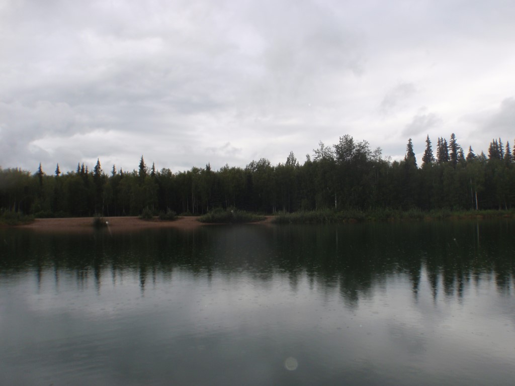
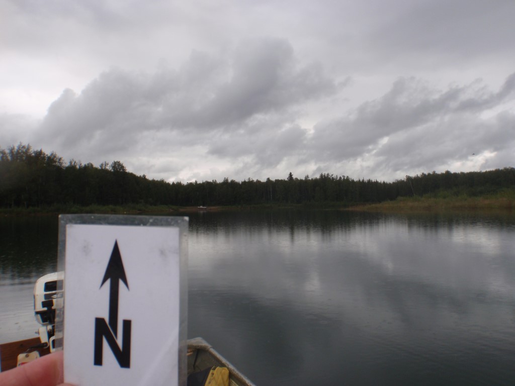
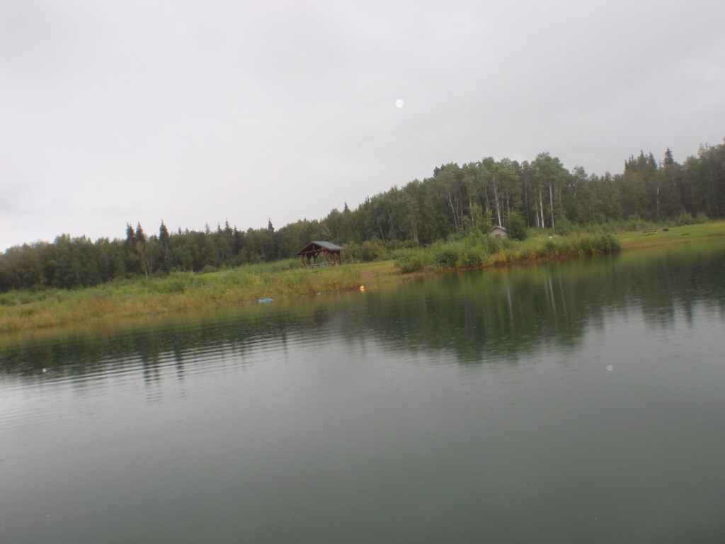
.JPG)
.JPG)
.JPG)
.JPG)
.JPG)
.JPG)