Location
- Latitude: 60.339833
- Longitude: -151.228334
- USGS Map: KENAI B-4
- Elevation (m): 57
- MTRS: S003N011W20
- Management Area: Homer (Lower Kenai Peninsula)
Access
- Latitude: 60.339833
- Longitude: -151.228334
- Directions: Mile 107 Sterling Hwy. East side of road. Decanter Inn is by lake. Parking available on the highway right of way and at the Inn. NOTE: Please respect property. Keep lake and access sites free of litter.
- Status: Road ROW
Lake Characteristics
- Surface Area (ha): 2
- Bathymetric Map: roque.gif
- Lake Category: Landlocked
- Maximum Depth (m): 4.6
- Most Recent Survey Date: 4/16/2024
- Most Recent Survey Notes: Lake size and area data date unknown. Lake category entered 4/16/2024.
Photos
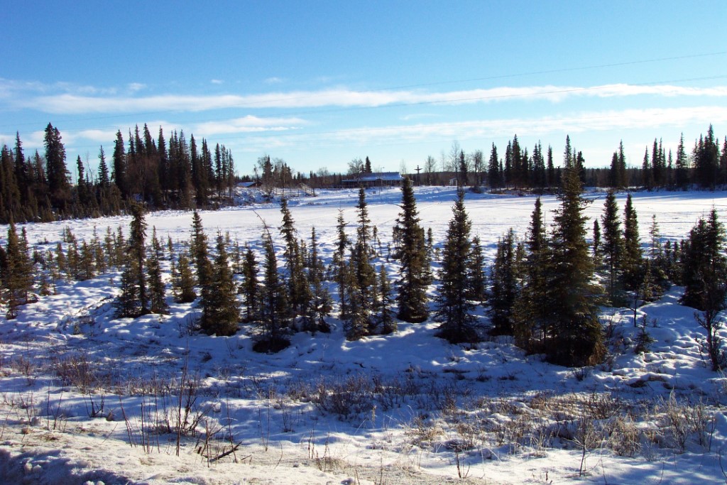
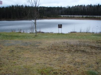
Download Linked Documents
- Roque Lake site evaluation.pdf
- 2000-2007_Lake_Assessment_ Report.pdf
- Roque_Historic_Fish_Sampling_Summary.pdf
- Roque_Historic_Restoration.pdf
- Roque_Historic_Stocking_Record.pdf
- Roque_Historic_Net_Record.pdf
- Roque_Historic_Lake_Survey_Summary.pdf
- Roque_Historic_Water_Analysis.pdf
- Roque_Historic_Bathymetric_Map.pdf
- Roque_Brochure_2022.pdf