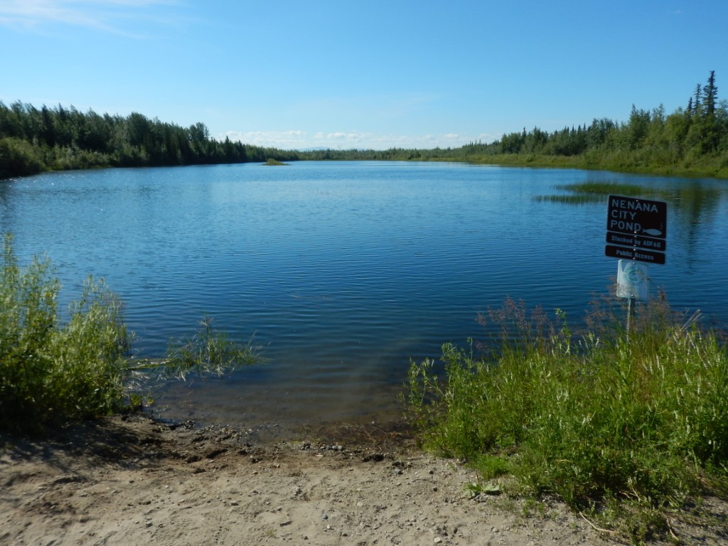
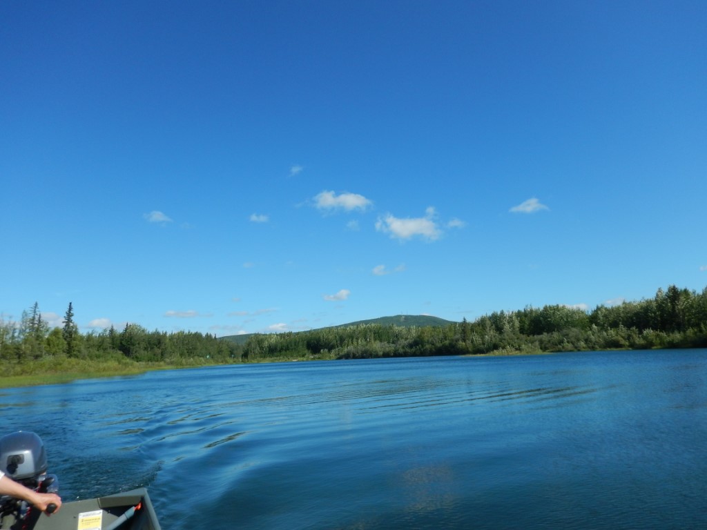
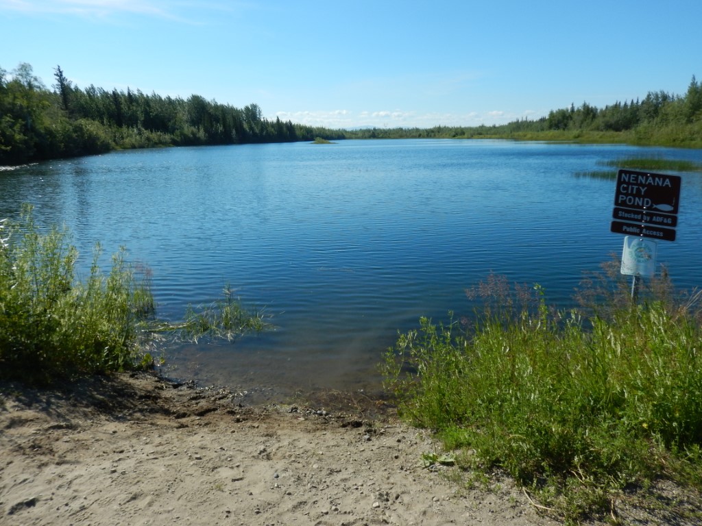
Location
- Latitude: 64.548522
- Longitude: -149.094857
- USGS Map: FAIRBANKS C-5
- Elevation (m): 107
- MTRS: F004S008W23
- Management Area: Fairbanks (Lower Tanana River Drainage)
- Sub Area: Nenana
- Drainage: Nenana River
Access
- Latitude: 64.548522
- Longitude: -149.094857
- Directions: Mile 304 Parks Hwy (at junction with Airport Rd) turn east to lake.
- Improvements:
- road
- Status: City
Lake Characteristics
- Surface Area (ha): 3.8
- Bathymetric Map: NenanaCity2018.jpg
- NenanaCity2018_feet.jpg
- Lake Category: Flood Prone
- Maximum Depth (m): 6.3
- Most Recent Survey Date: 7/3/2018
- Most Recent Survey Notes: Depth data collected July 3, 2018. GeoNorth OIM_BDL WMS imagery was used to determine the lake perimeter.
Photos