Fish Passage Site 40501734
Coordinates (dec. deg.): 65.29443°, -146.50523°
Legal Description: F005N006E03
Region: Interior
Road Name: Steese Highway Pullout
Datum: WGS84
Quad Name / ITM: Circle B-6
AWC Stream #:
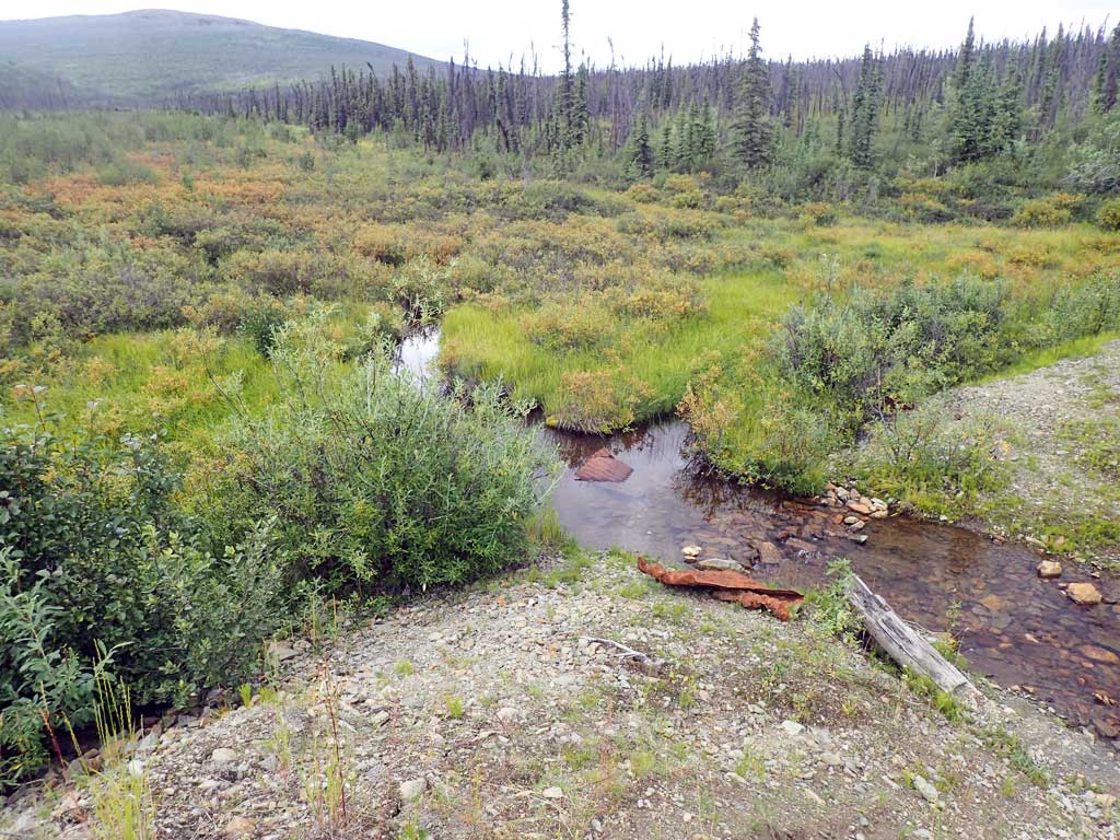
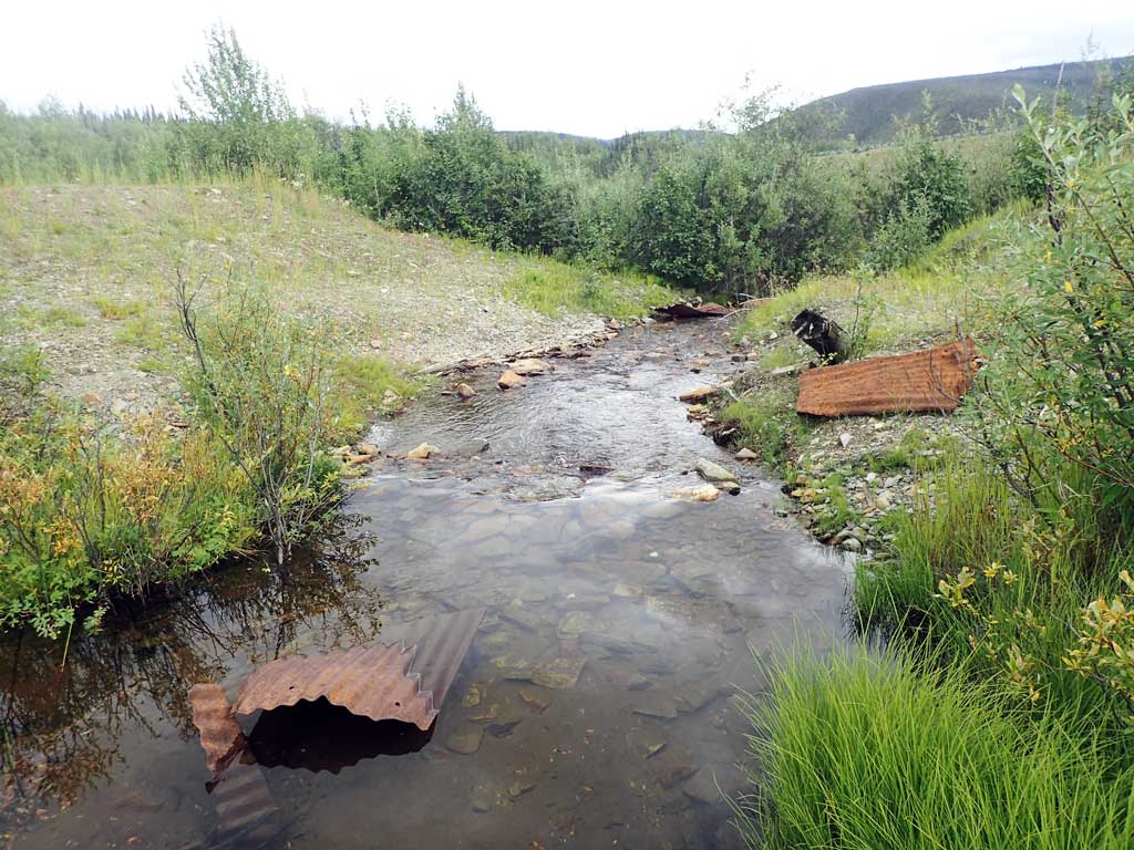
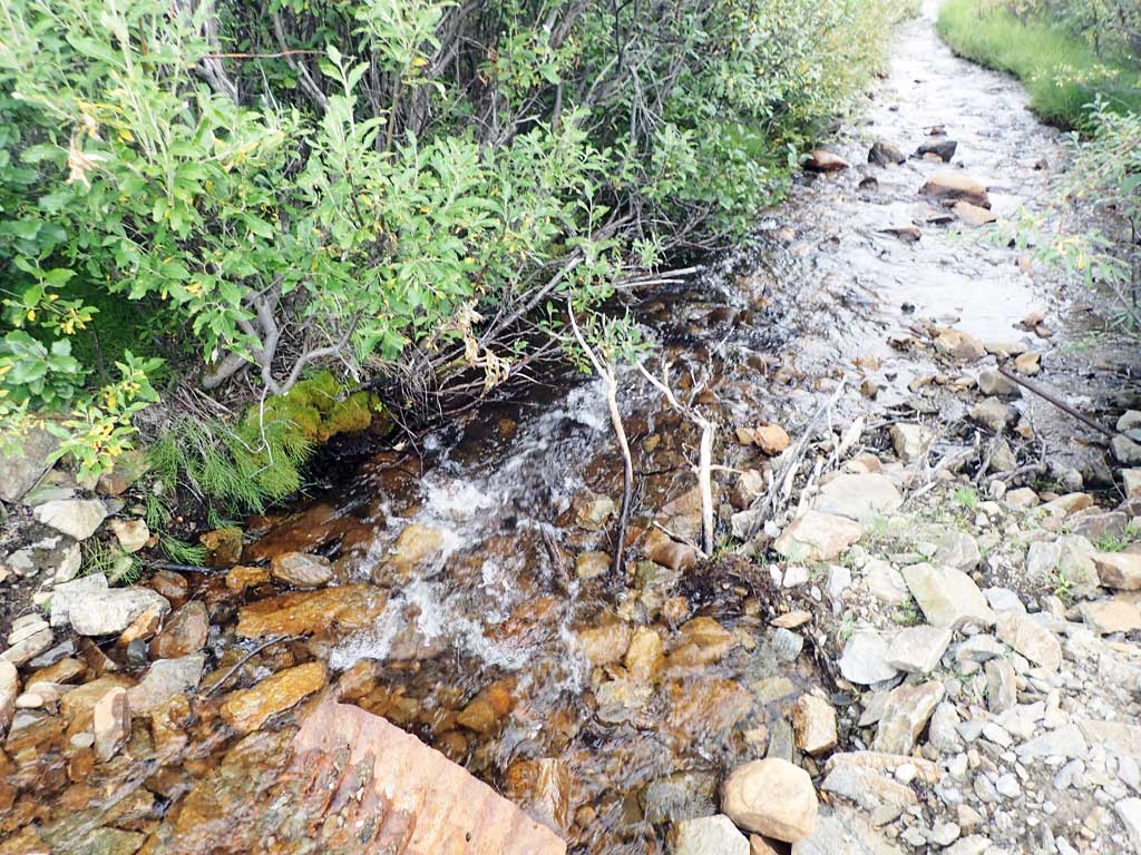
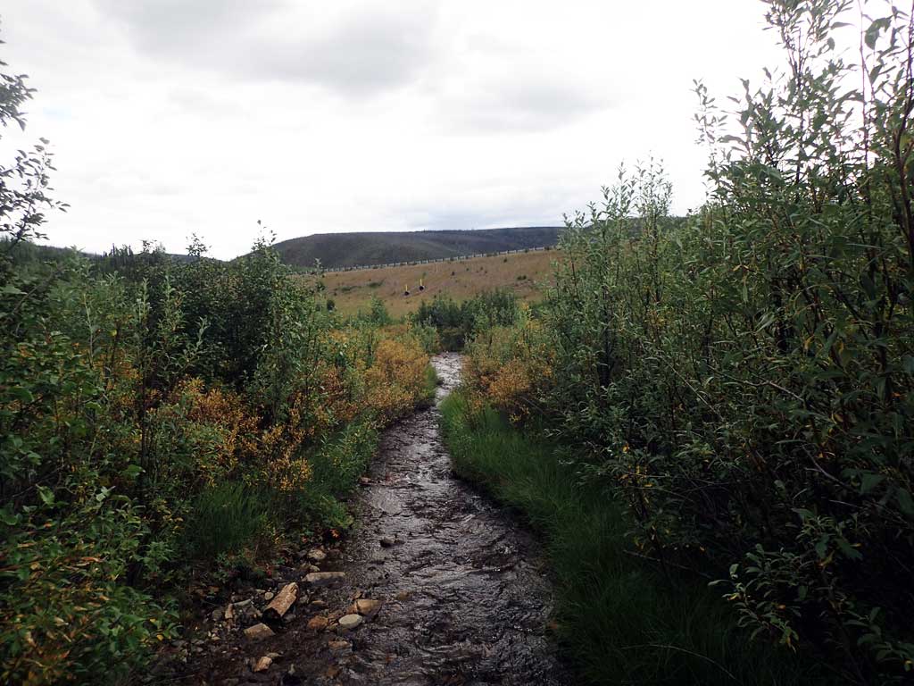
Stream Name: No Name Creek
Elevation:
Site Comments: Pullout at M.55 Steese Highway
arrow to the right of the survey date below to choose a different report for this site.
Survey UPDATE-1734
Project Supervisor: Gillian O'Doherty, ADFG
Observers: Mark Eisenman
Overall Fish Passage Rating:
Tidal:
Backwatered:
Step Pools:
Construction Year:
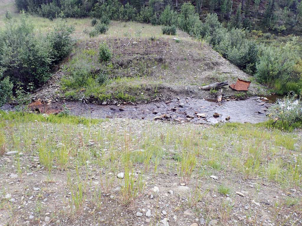
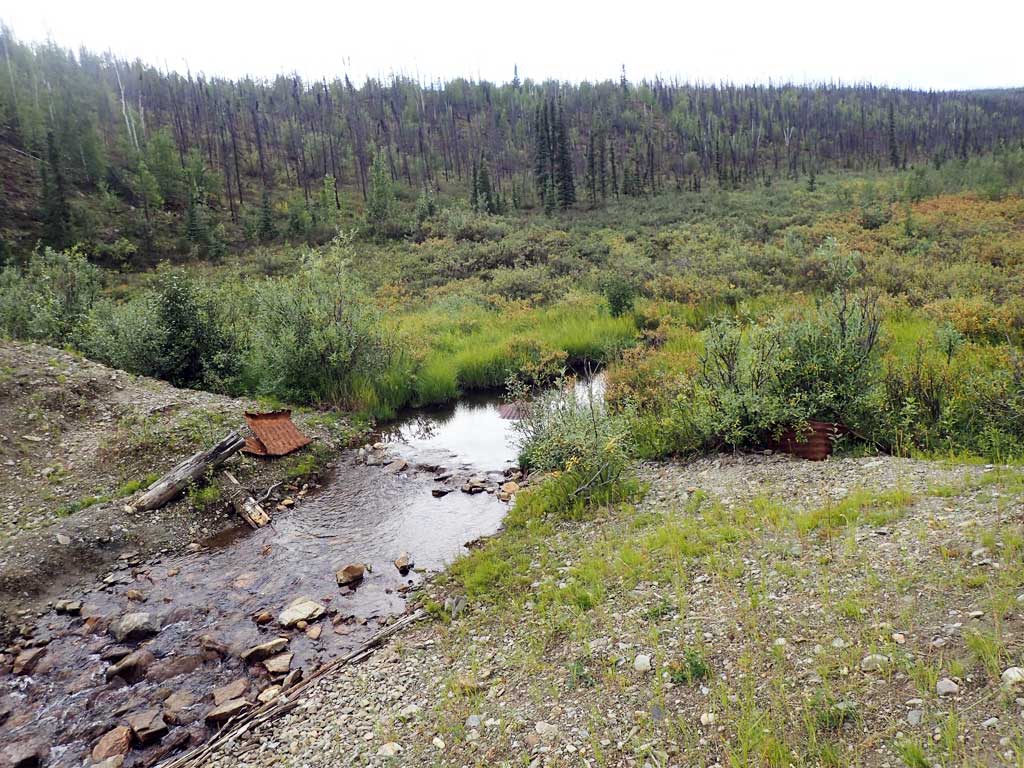
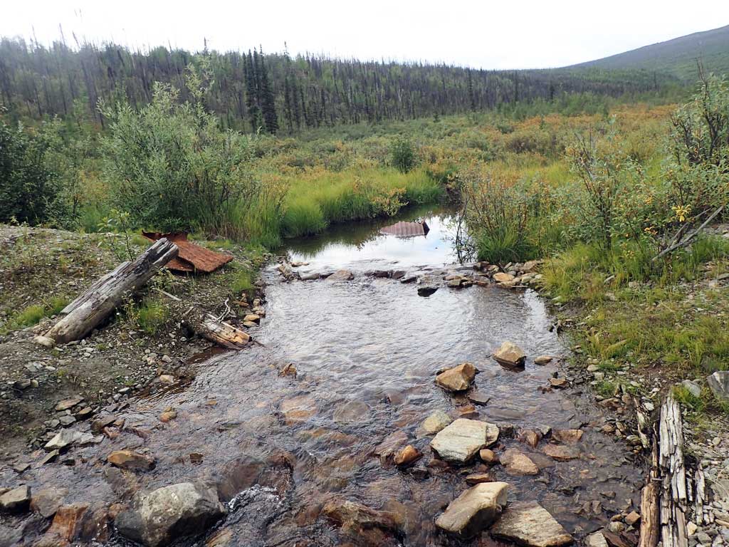
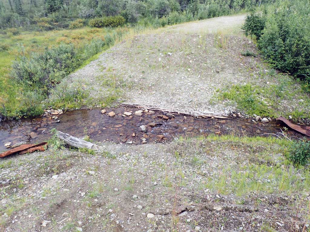
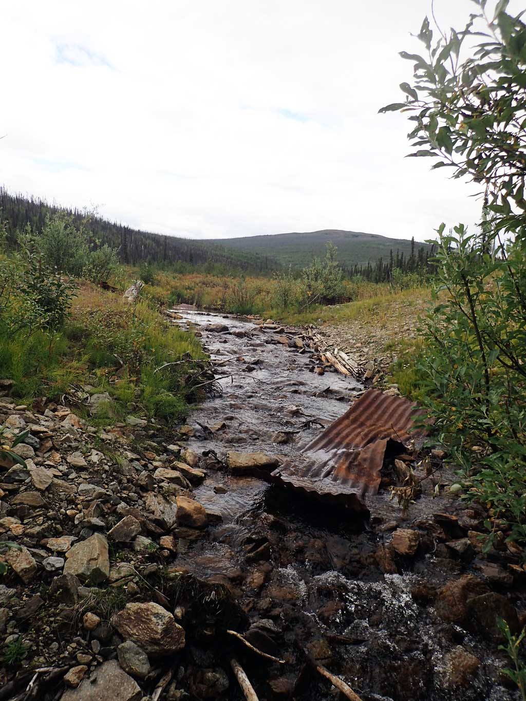
Comments: Culvert removed after 2011 highway upgrade. Site visit 8/9/18 for photos.
Culvert Measurements
No measurement data available.
Stream Measurements
|
|
No stream width data available.
Elevations
No elevation data available.
Fish Sampling Efforts
No fish sampling occurred during this survey.
Fish Observations
No fish observations occurred during this survey.
Photos


Questions or comments about this report can be directed to dfg.dsf.webmaster@alaska.gov