Fish Passage Site 30303084
Coordinates (dec. deg.): 59.03844°, -158.52621°
Legal Description: S013S055W19
Region: Southwest
Road Name: Kanakanak Road
Datum: NAD83
Quad Name / ITM: Dillingham A-7
AWC Stream #: 325-30-10100-2021
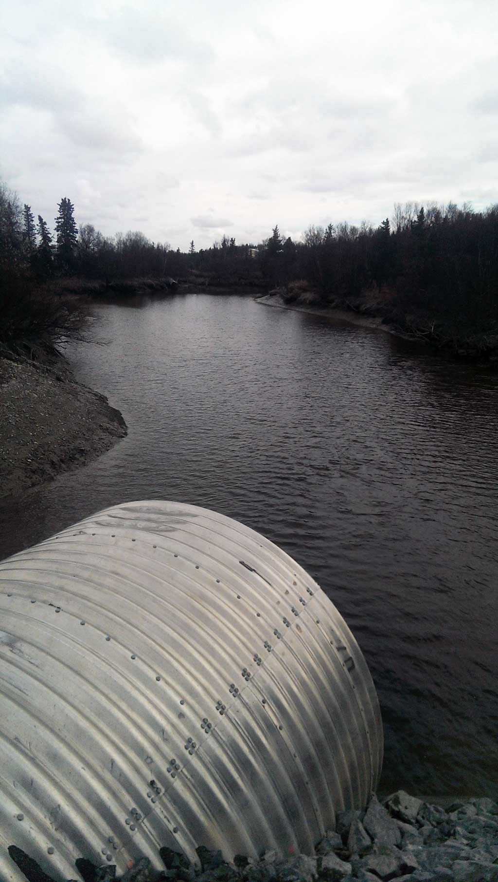
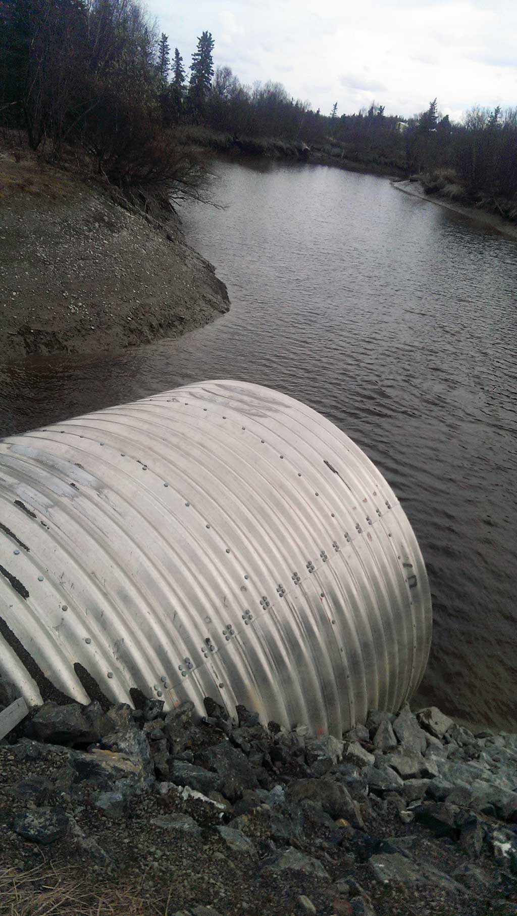
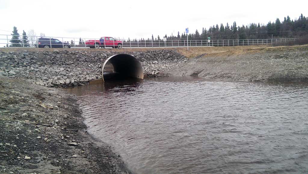
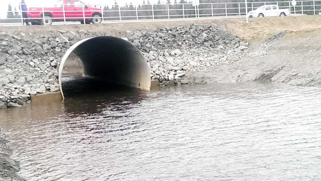
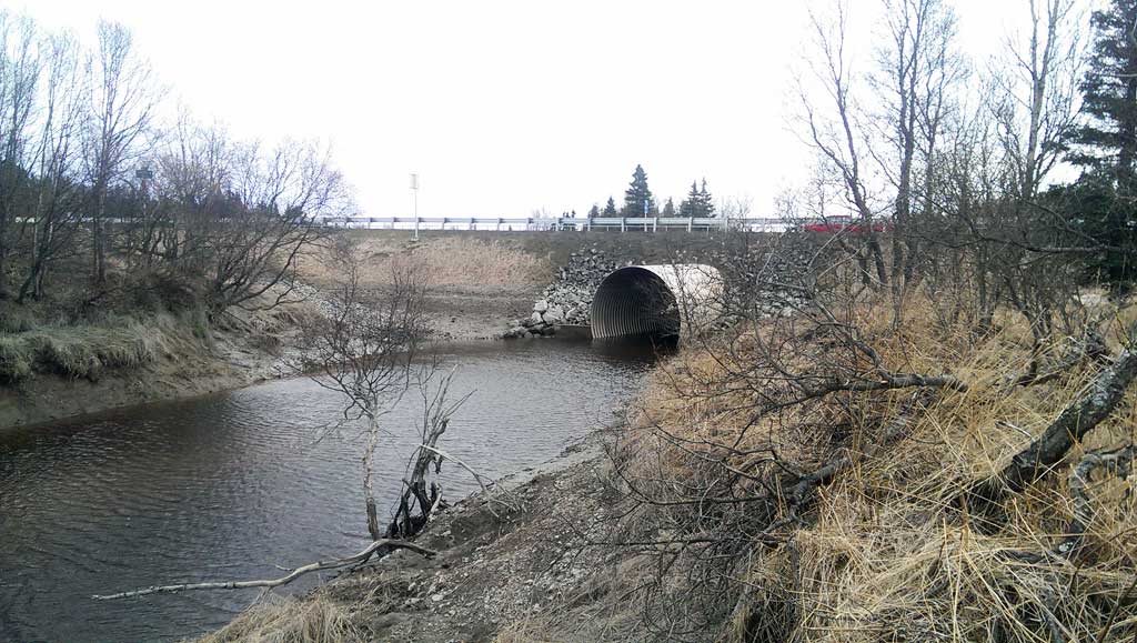
Stream Name: Seven Sisters Creek
Elevation:
Site Comments: Stream and Watershed name changed to local name on 11.24.21
arrow to the right of the survey date below to choose a different report for this site.
Survey UPDATE-3084
Project Supervisor: Gillian O'Doherty, ADFG
Observers:
Overall Fish Passage Rating:
Tidal: Yes
Backwatered:
Step Pools:
Construction Year: 2014
Comments: Culvert was replaced June 2014. New photos added from April 2016 visit.
Culvert Measurements
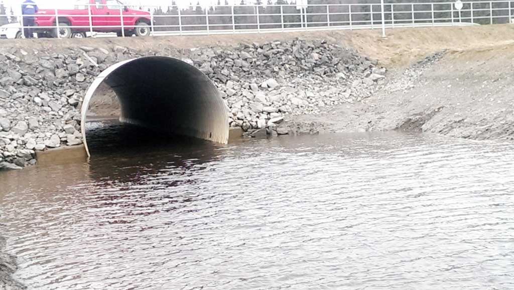
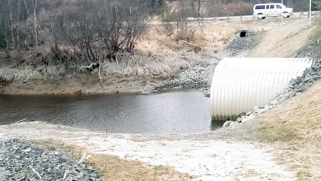
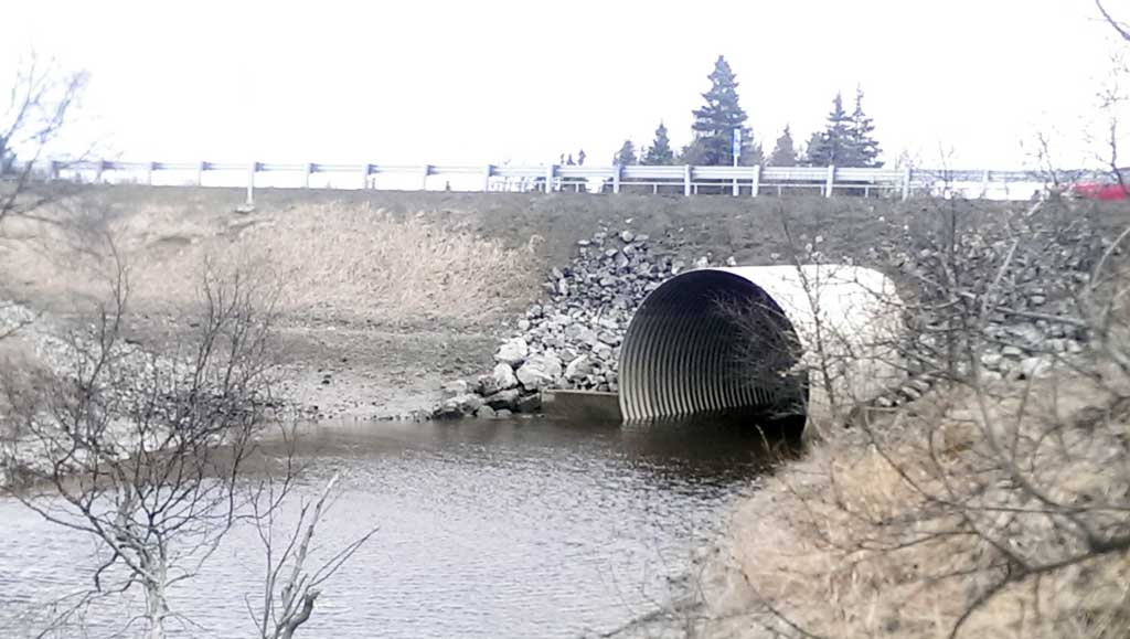
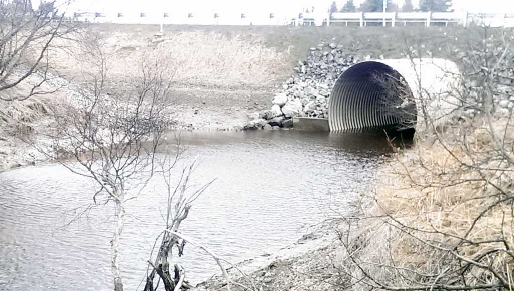
| ID: 1 | Structure Type: Circular pipe (Structural aluminum plate) | Fish Passage Rating: | |||||||||||||||||||||||||||||||||||||||||
|
|
|
|||||||||||||||||||||||||||||||||||||||||
Comments: Culvert measurements and slope are taken from site plans and have not been verified by project staff. Cuvlert with 16 ft. Culvert height 16ft. Cuvlert length 106 ft. Culvert gradient 0.37%. |
|||||||||||||||||||||||||||||||||||||||||||
Stream Measurements
|
|
No stream width data available.
Elevations
No elevation data available.
Fish Sampling Efforts
No fish sampling occurred during this survey.
Fish Observations
No fish observations occurred during this survey.
Photos


Questions or comments about this report can be directed to dfg.dsf.webmaster@alaska.gov