Fish Passage Site 30303083
Coordinates (dec. deg.): 59.03064°, -158.53572°
Legal Description: S013S056W24
Region: Southwest
Road Name: Kanakanak Road
Datum: NAD83
Quad Name / ITM: Dillingham A-7
AWC Stream #: 325-30-10100-2019
Stream Name: Unnamed
Elevation:
Site Comments: None
arrow to the right of the survey date below to choose a different report for this site.
Survey UPDATE-3083
Project Supervisor: Gillian O'Doherty, ADFG
Observers:
Overall Fish Passage Rating:
Tidal:
Backwatered:
Step Pools:
Construction Year: 2013
Comments: Site was replaced in 2013. Site needs to be resurveyed.
Culvert Measurements
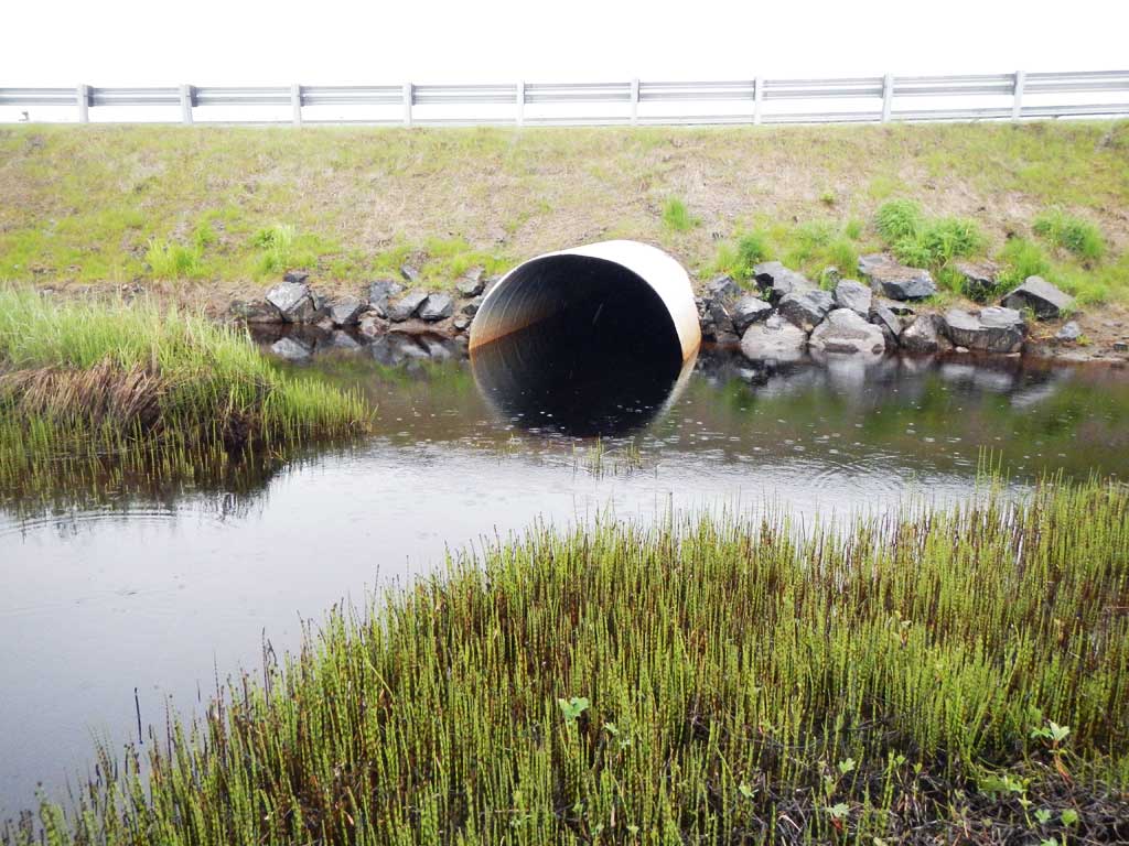
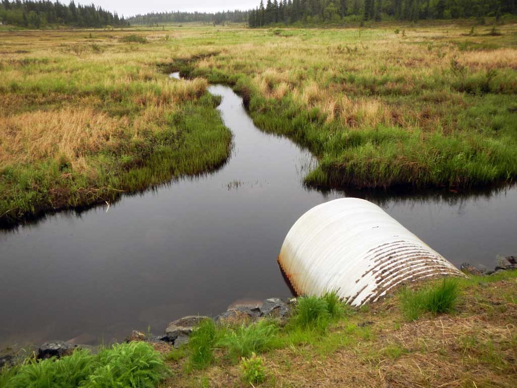
| ID: 1 | Structure Type: Circular pipe (Corrugated aluminum) | Fish Passage Rating: | |||||||||||||||||||||||||||||||||||||||||
|
|
|
|||||||||||||||||||||||||||||||||||||||||
Comments: Culvert measurements and slope have been taken from site plans and not verified by project staff. Culvert width 8 ft. Culvert height 7 ft. Culvert length 80 ft. Culvert gradient 0.6%. |
|||||||||||||||||||||||||||||||||||||||||||
Stream Measurements
|
|
No stream width data available.
Elevations
No elevation data available.
Fish Sampling Efforts
No fish sampling occurred during this survey.
Fish Observations
No fish observations occurred during this survey.
Photos
Questions or comments about this report can be directed to dfg.dsf.webmaster@alaska.gov