Fish Passage Site 20703776
Coordinates (dec. deg.): 57.71696°, -152.56309°
Legal Description: S028S020W29
Region: Southwest
Road Name: Kodiak Fairgrounds
Datum: NAD83
Quad Name / ITM: Kodiak C-2
AWC Stream #:
Stream Name: Unnamed
Elevation:
Site Comments: None
Survey UPDATE-KOD32
Project Supervisor: Gillian O'Doherty, ADFG
Observers: William Frost
Overall Fish Passage Rating:
Tidal: No
Backwatered: No
Step Pools: No
Construction Year:
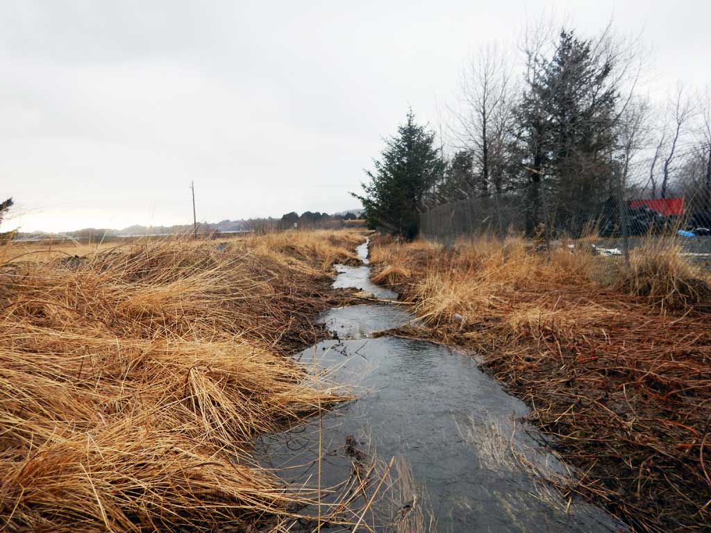
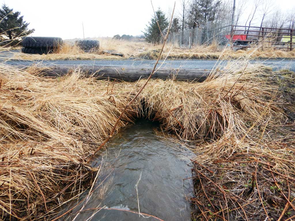
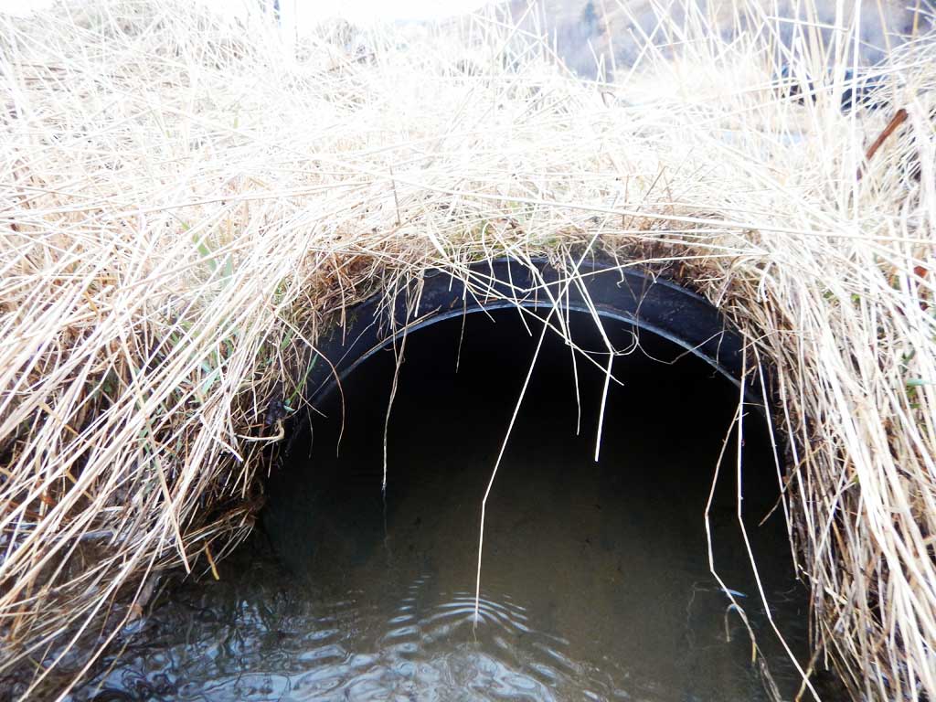
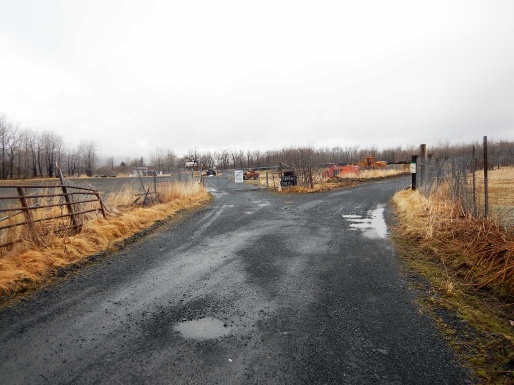
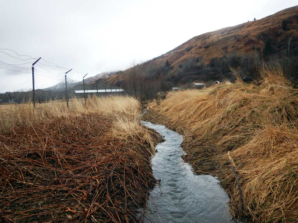
Comments: Site and photos submitted by Will Frost, Habitat Biologist, ADFG. Stream is cataloged downstream, but highway culvert is likely a fish passage barrier.
Culvert Measurements
| ID: 1 | Structure Type: Circular pipe (Corrugated plastic) | Fish Passage Rating: | |||||||||||||||||||||||||||||||||||||||||
|
|
|
|||||||||||||||||||||||||||||||||||||||||
Comments: There is some sediment inside barrel of culvert. Cuvlert diameter estimated to be about 2.5 ft. Culvert length estimated from aerial imagery to be about 30 feet. |
|||||||||||||||||||||||||||||||||||||||||||
Stream Measurements
|
|
No stream width data available.
Elevations
No elevation data available.
Fish Sampling Efforts
No fish sampling occurred during this survey.
Fish Observations
No fish observations occurred during this survey.
Photos
Questions or comments about this report can be directed to dfg.dsf.webmaster@alaska.gov