Fish Passage Site 20703714
Coordinates (dec. deg.): 57.77220°, -152.52900°
Legal Description: S028S020W04
Region: Southwest
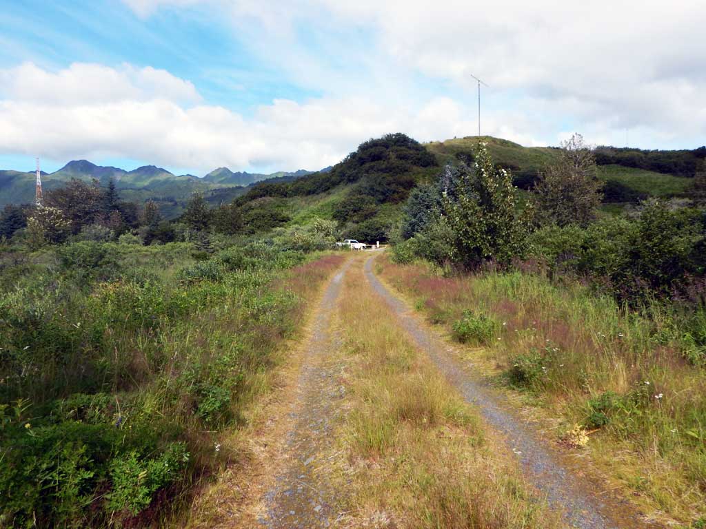
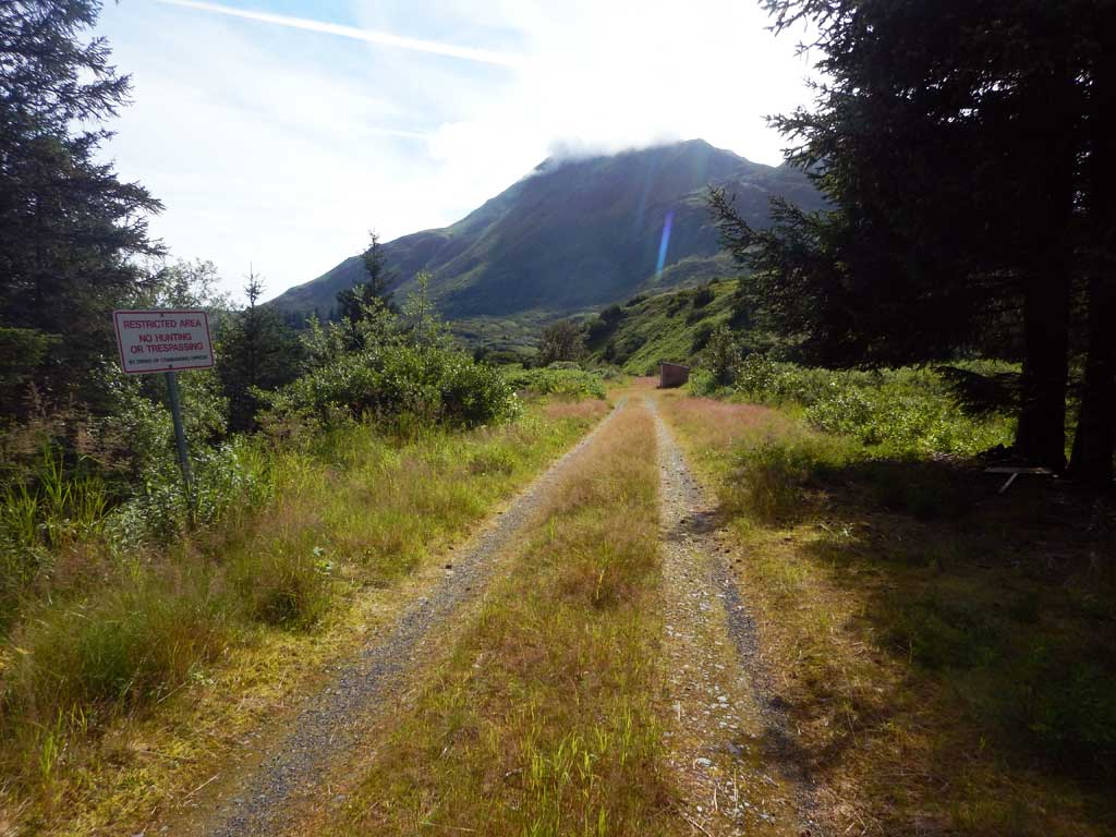
Road Name: Old Military Road
Datum: NAD83
Quad Name / ITM: Kodiak D-2
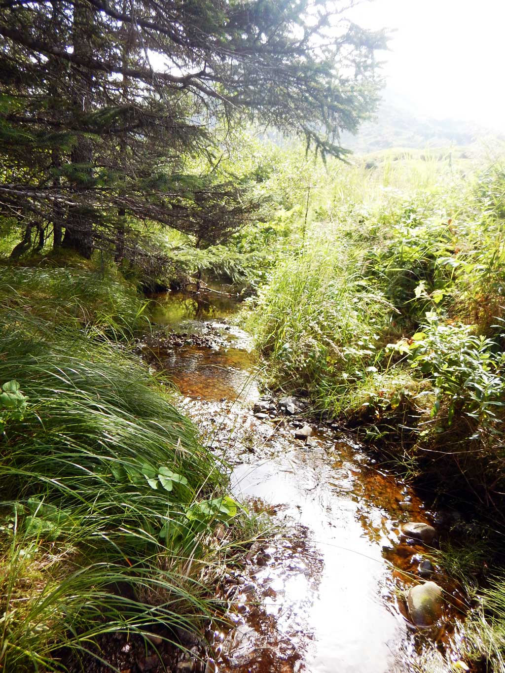
AWC Stream #: 259-21-10120-2011-3100
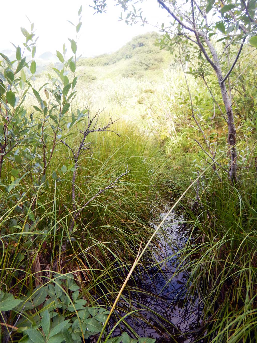
Stream Name: Unnamed
Elevation:
Site Comments: None
Survey UPDATE-KOD28
Project Supervisor: Gillian O'Doherty, ADFG
Observers: William Frost
Overall Fish Passage Rating:
Tidal: No
Backwatered:
Step Pools: No
Construction Year:
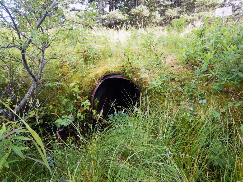
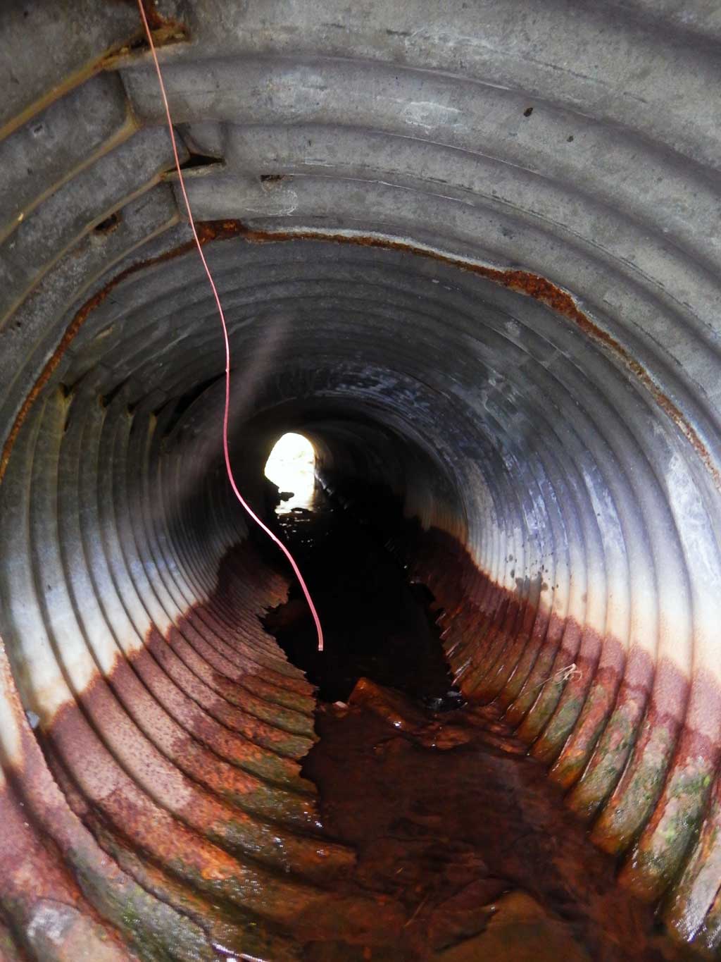
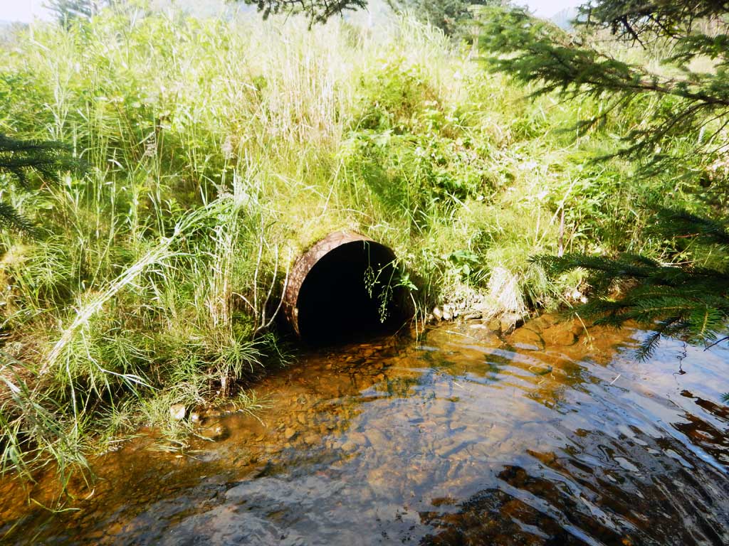
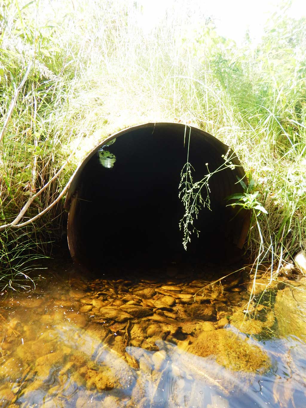
Comments: Site submitted by ADFG HB Will Frost. Failing culvert. HB Will Frost recommended this culvert be removed and a ford installed.
Culvert Measurements
| ID: 1 | Structure Type: Circular pipe (Corrugated steel) | Fish Passage Rating: | |||||||||||||||||||||||||||||||||||||||||
|
|
|
|||||||||||||||||||||||||||||||||||||||||
Comments: Cuvlert diameter estimated to be 2.3 ft. |
|||||||||||||||||||||||||||||||||||||||||||
Stream Measurements
|
|
No stream width data available.
Elevations
No elevation data available.
Fish Sampling Efforts
No fish sampling occurred during this survey.
Fish Observations
No fish observations occurred during this survey.
Photos
Questions or comments about this report can be directed to dfg.dsf.webmaster@alaska.gov