Fish Passage Site 20703712
Coordinates (dec. deg.): 57.58135°, -152.45302°
Legal Description: S030S020W14
Region: Southwest
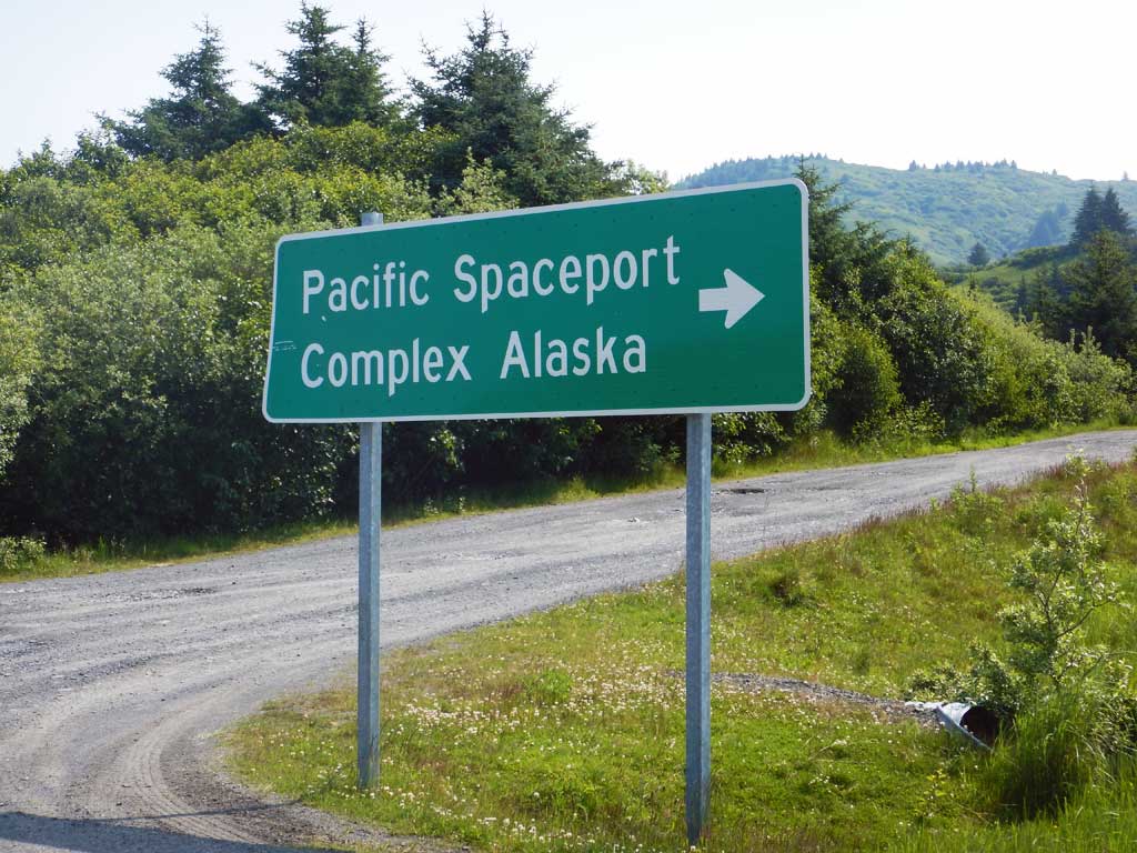
Road Name: Driveway
Datum: WGS84
Quad Name / ITM: Kodiak C-2
AWC Stream #:
Stream Name: Unnamed
Elevation:
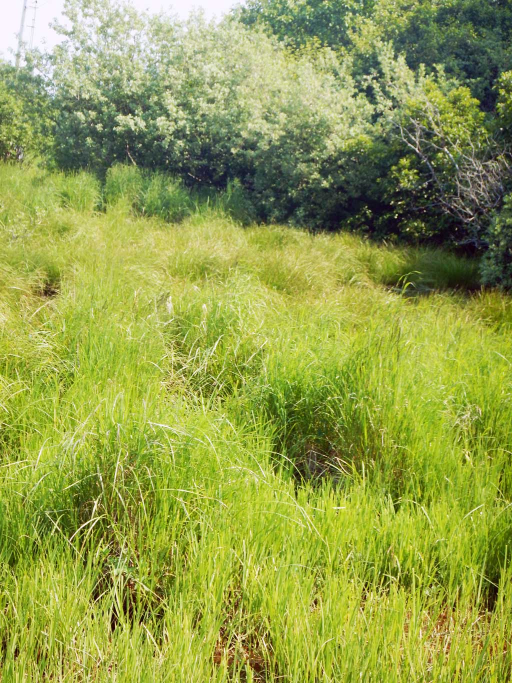
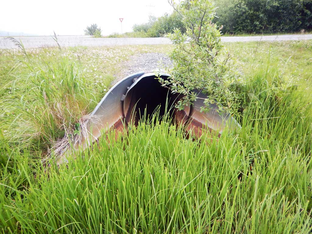
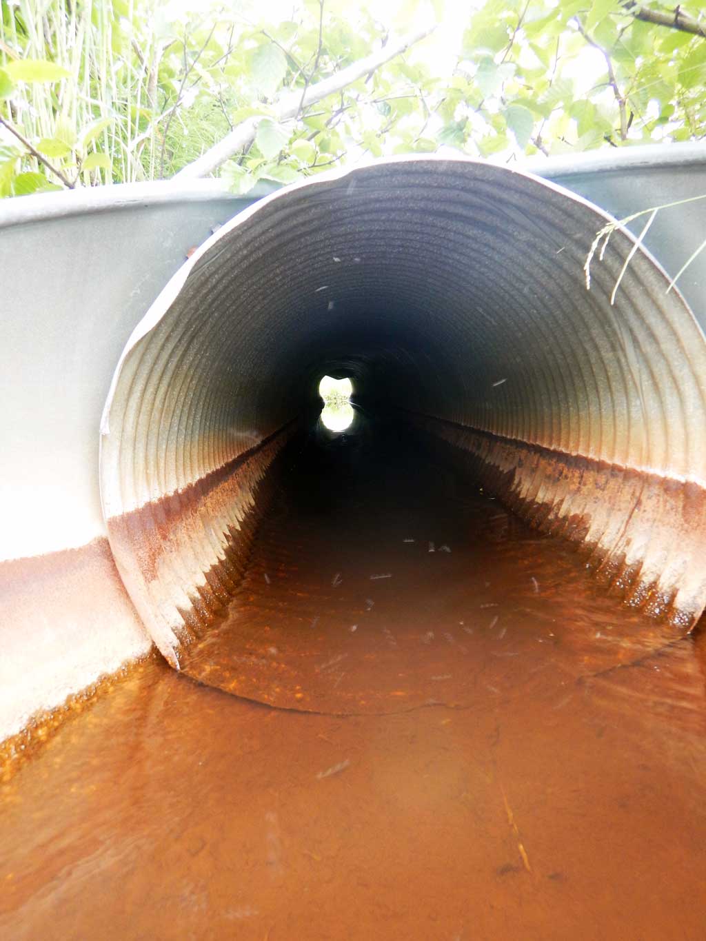
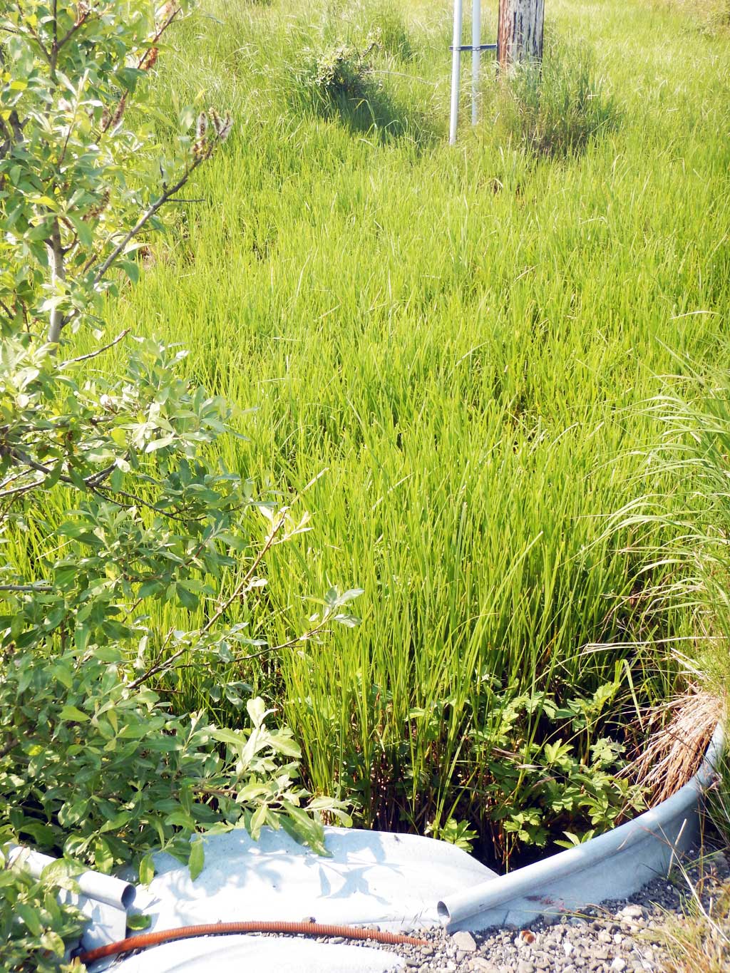
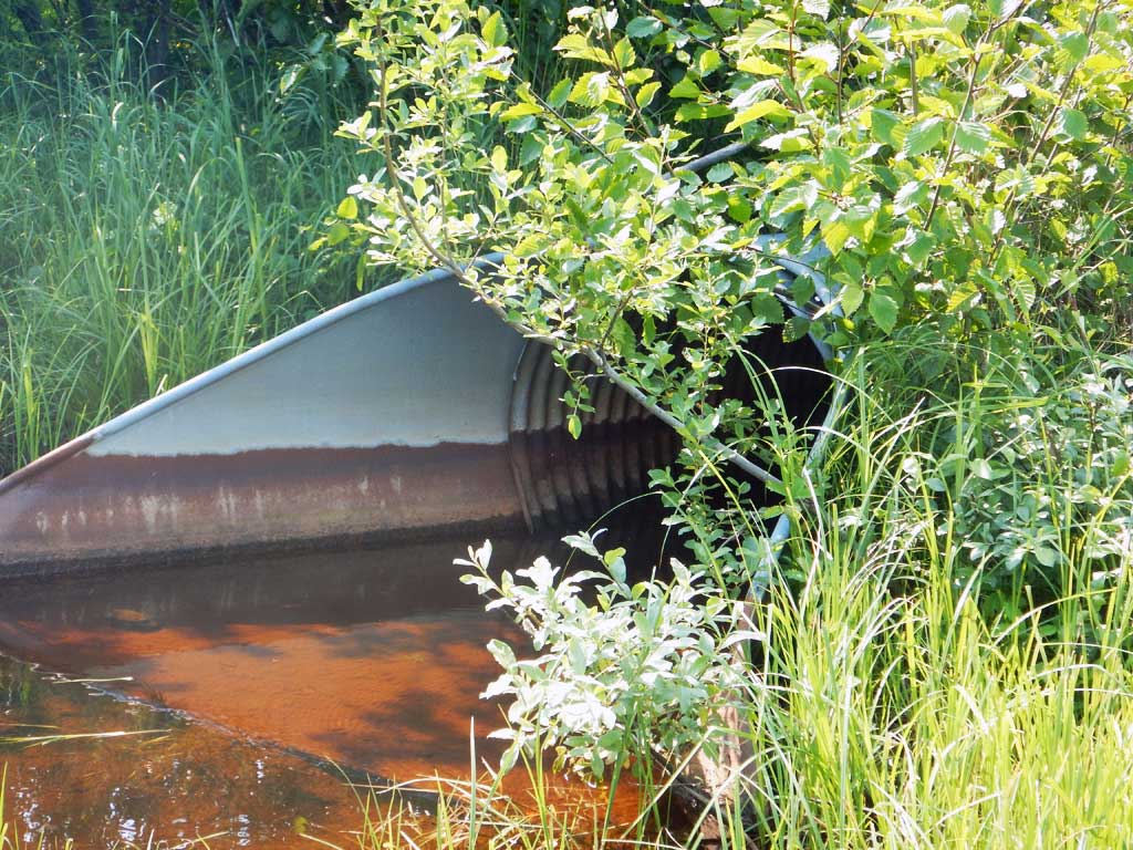
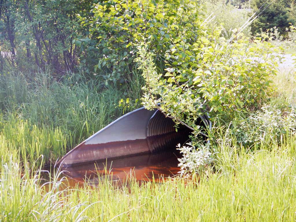
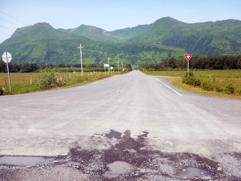
Site Comments: Site is just downstream from a culvert on the Pasagshak Highway.
Survey UPDATE-KOD26
Project Supervisor: Gillian O'Doherty, ADFG
Observers: William Frost
Overall Fish Passage Rating:
Tidal: No
Backwatered: Maybe
Step Pools: No
Construction Year:
Comments: Site submitted by Will Frost, all photos Will Frost. Site is downstream from a culvert on the Pasagshak Highway. Juvenile Coho salmon observed upstream and downstream of culvert.
Culvert Measurements
| ID: 1 | Structure Type: Circular pipe (Corrugated steel) | Fish Passage Rating: | |||||||||||||||||||||||||||||||||||||||||
|
|
|
|||||||||||||||||||||||||||||||||||||||||
Comments: Cuvlert diameter estimated to be 3 ft. |
|||||||||||||||||||||||||||||||||||||||||||
Stream Measurements
|
|
No stream width data available.
Elevations
No elevation data available.
Fish Sampling Efforts
| Gear Type: Visual Observation, Ground (A) | ||
Fish Observations
No fish observations occurred during this survey.
Photos
Questions or comments about this report can be directed to dfg.dsf.webmaster@alaska.gov