Fish Passage Site 20703709
Coordinates (dec. deg.): 57.76620°, -152.52850°
Legal Description: S028S020W09
Region: Southwest
Road Name: Old Military Road
Datum: NAD83
Quad Name / ITM: Kodiak D-2
AWC Stream #:
Stream Name: Unnamed
Elevation:
Site Comments: None
Survey UPDATE-KOD23
Project Supervisor: Gillian O'Doherty, ADFG
Observers: William Frost
Overall Fish Passage Rating:
Tidal:
Backwatered:
Step Pools:
Construction Year:
Comments: Culvert submitted by Will Frost, HB ADF&G.
Culvert Measurements
| ID: 1 | Structure Type: Circular pipe (Wood) | Fish Passage Rating: | |||||||||||||||||||||||||||||||||||||||||
|
|
|
|||||||||||||||||||||||||||||||||||||||||
Comments: Culvert diameter estimated at 2 ft. |
|||||||||||||||||||||||||||||||||||||||||||
Stream Measurements
|
|
No stream width data available.
Elevations
No elevation data available.
Fish Sampling Efforts
| Gear Type: Smith-Root LR-24 (A) | ||
| Comments: All fish captured below culvert. | ||
Fish Observations
| Species: Dolly Varden | Life History: Unknown | ||
| Total Fish Observed: 5 | Fish Measured: | Fork Lengths (mm) Min: Max: Mean: | |
| Collected/Observed by Gear Type: At Site Smith-Root LR-24 (5) | |||
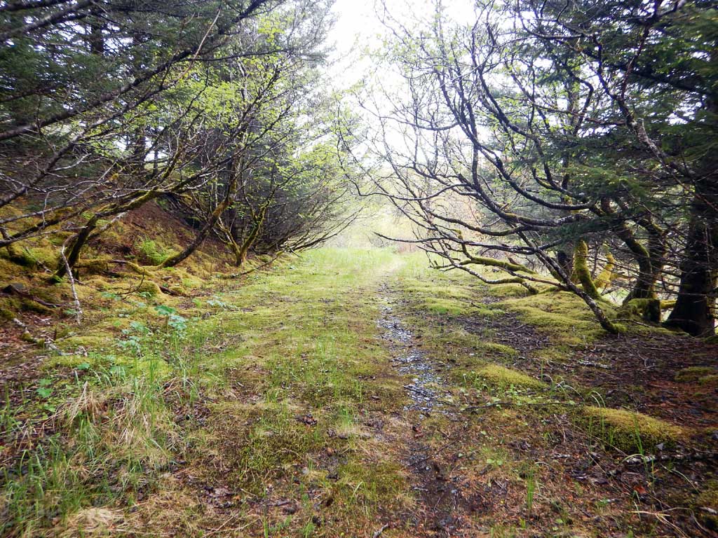
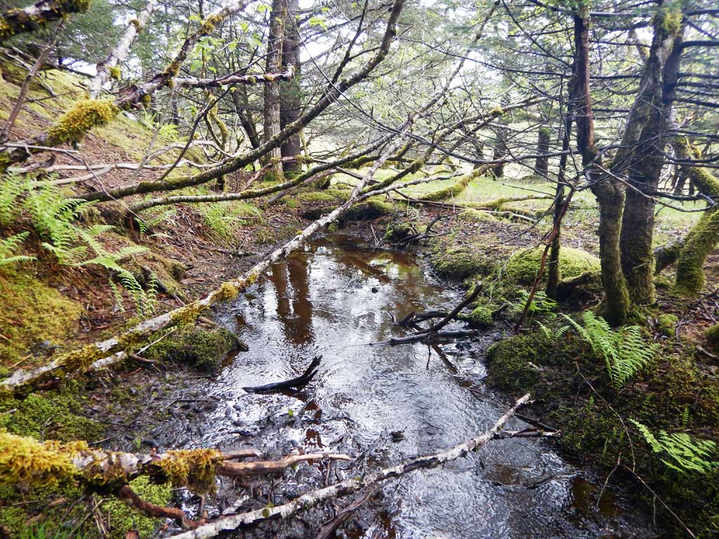
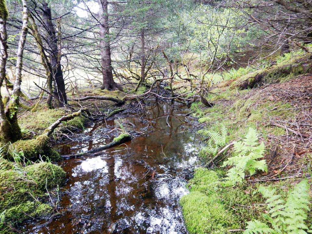
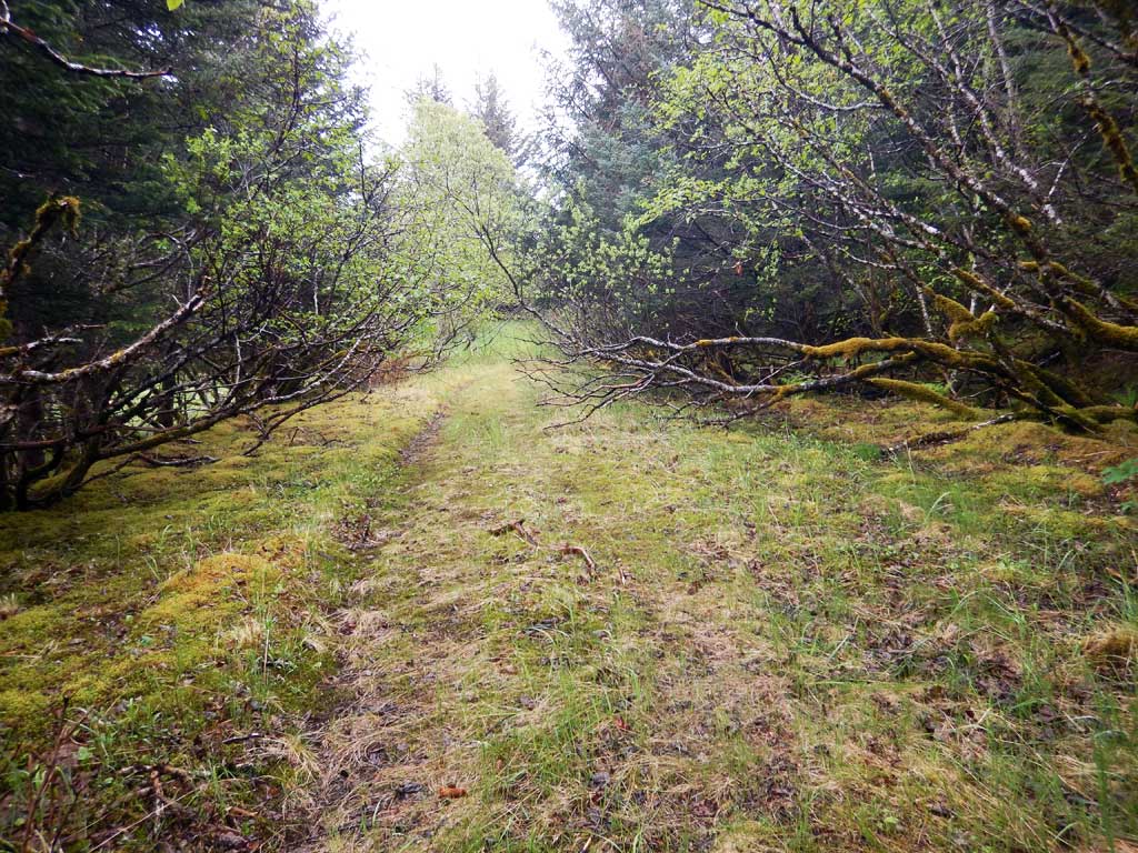
Photos


Questions or comments about this report can be directed to dfg.dsf.webmaster@alaska.gov