Fish Passage Site 20703708
Coordinates (dec. deg.): 57.76404°, -152.48739°
Legal Description: S028S020W11
Region: Southwest
Road Name: Abandoned
Datum: WGS84
Quad Name / ITM: Kodiak D-2
AWC Stream #:
Stream Name: Unnamed Tributary to Genivieve Creek
Elevation:
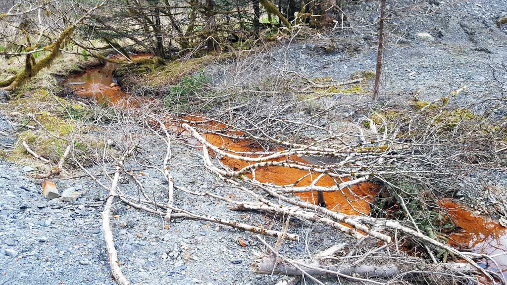
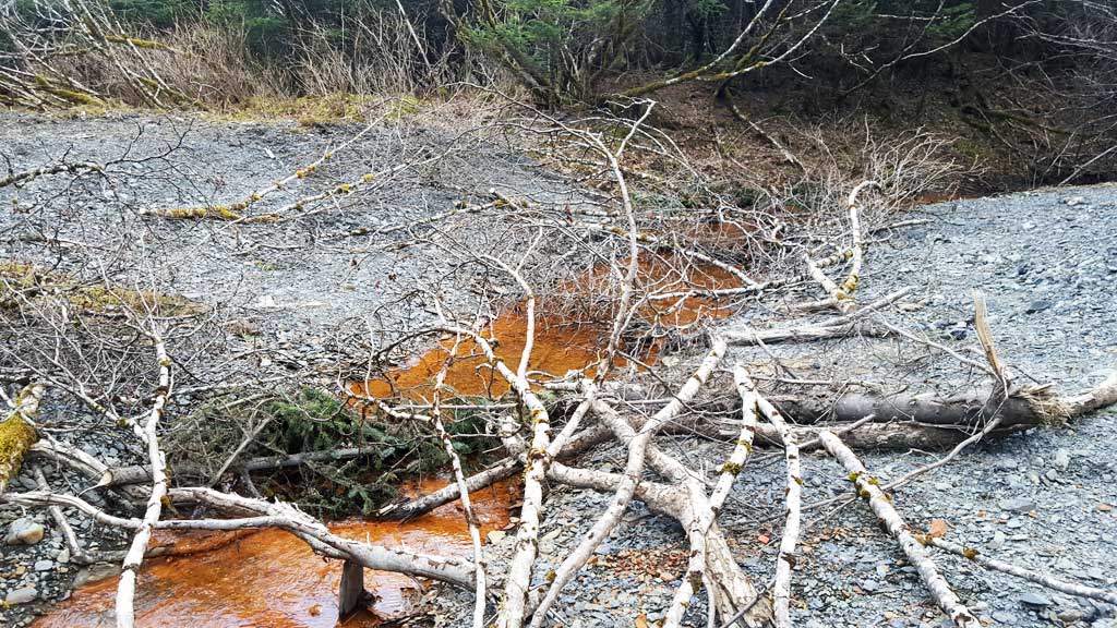
Site Comments: Access from pull off area from Rezanof Drive just south of Buskin River State Park trailhead. Access to the abandoned road is blocked from the pull off with lots of branches. Go around these branches to the south.
arrow to the right of the survey date below to choose a different report for this site.
Survey UPDATE-KOD22
Project Supervisor: Gillian O'Doherty, ADFG
Observers: William Frost
Overall Fish Passage Rating:
Tidal:
Backwatered:
Step Pools:
Construction Year:
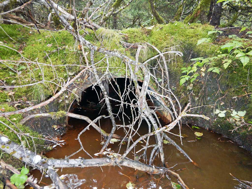
Comments: Culvert was removed Nov. 2016.
Culvert Measurements
No measurement data available.
Stream Measurements
|
|
No stream width data available.
Elevations
No elevation data available.
Fish Sampling Efforts
No fish sampling occurred during this survey.
Fish Observations
No fish observations occurred during this survey.
Photos

Questions or comments about this report can be directed to dfg.dsf.webmaster@alaska.gov