Fish Passage Site 20703707
Coordinates (dec. deg.): 57.57040°, -152.46200°
Legal Description: S030S020W15
Region: Southwest
Road Name: Pasagshak Road
Datum: NAD83
Quad Name / ITM: Kodiak C-2
AWC Stream #: 259-24-10030-2003-3001
Stream Name: Unnamed
Elevation:
Site Comments: None
Survey UPDATE-KOD21
Project Supervisor: Gillian O'Doherty, ADFG
Observers: William Frost
Overall Fish Passage Rating:
Tidal:
Backwatered:
Step Pools:
Construction Year:
Comments: Site Submitted by Will Frost, has not been assessed.
Culvert Measurements
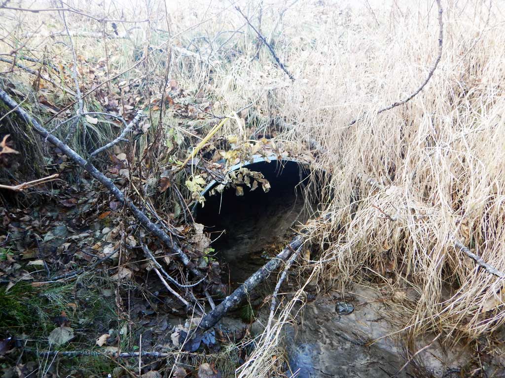
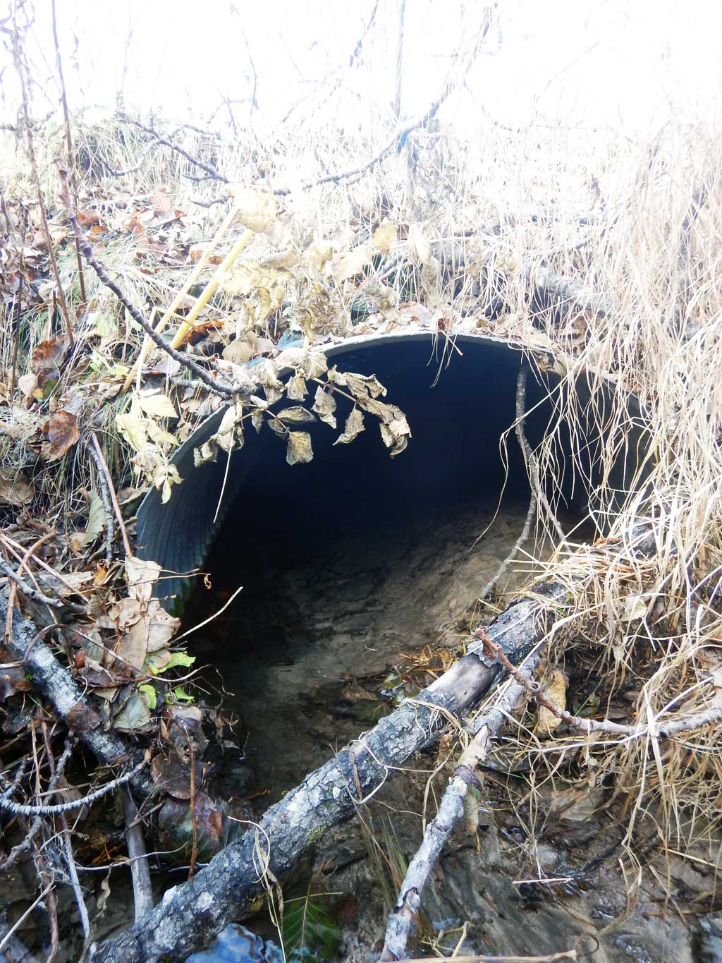
| ID: 1 | Structure Type:N/A (Corrugated steel) | Fish Passage Rating: | |||||||||||||||||||||||||||||||||||||||||
|
|
|
|||||||||||||||||||||||||||||||||||||||||
Comments: Cuvlert diameter estimated at 3.17 ft. |
|||||||||||||||||||||||||||||||||||||||||||
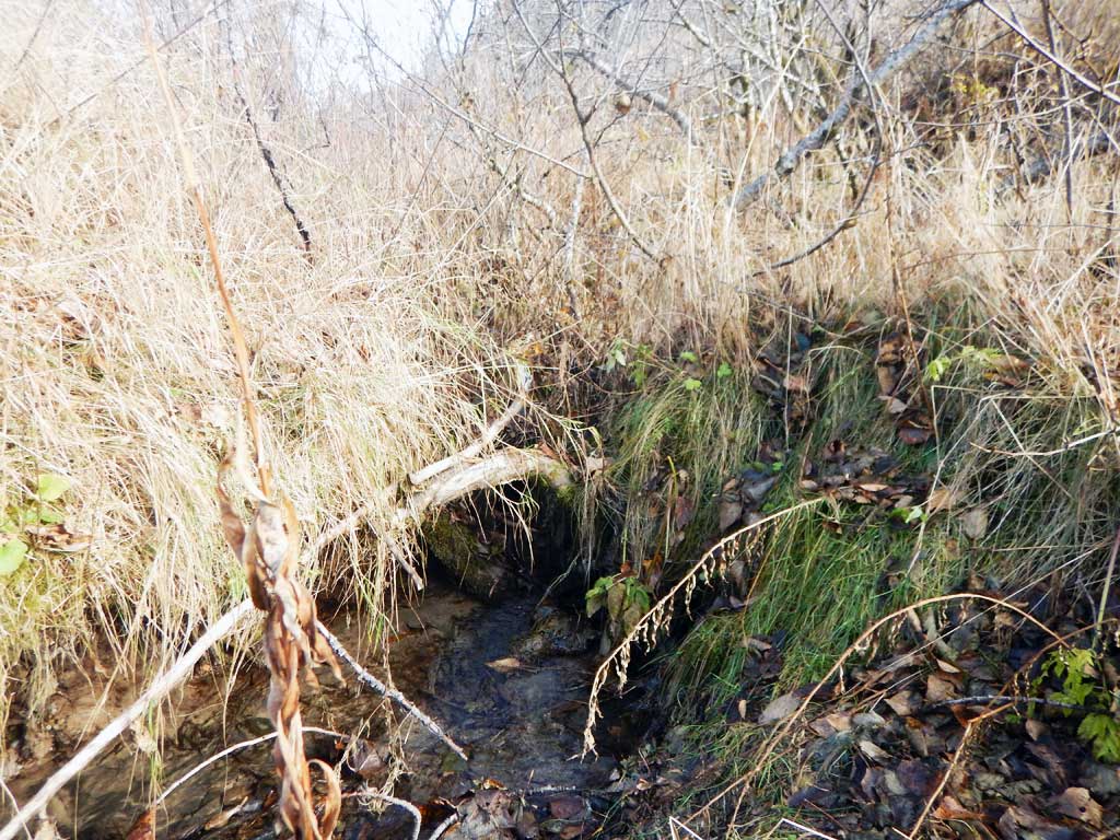
Stream Measurements
|
|
No stream width data available.
Elevations
No elevation data available.
Fish Sampling Efforts
No fish sampling occurred during this survey.
Fish Observations
No fish observations occurred during this survey.
Photos

Questions or comments about this report can be directed to dfg.dsf.webmaster@alaska.gov