Fish Passage Site 20703470
Coordinates (dec. deg.): 57.76280°, -152.48770°
Legal Description: S028S020W11
Region: Southwest
Road Name: Old Chiniak Highway Abandoned
Datum: WGS84
Quad Name / ITM: Kodiak D-2
AWC Stream #: 259-21-10120-2006-3050
Stream Name: Genivieve Creek
Elevation:
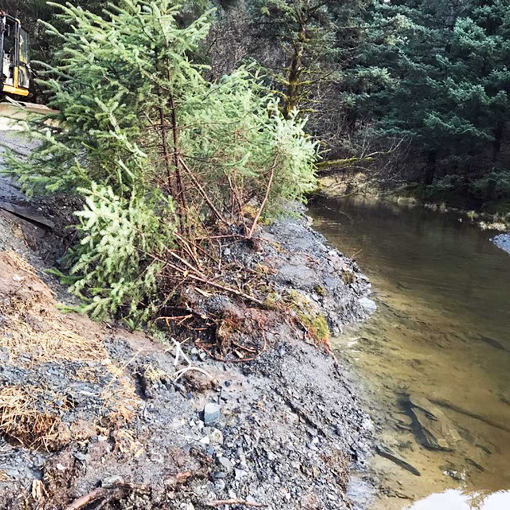
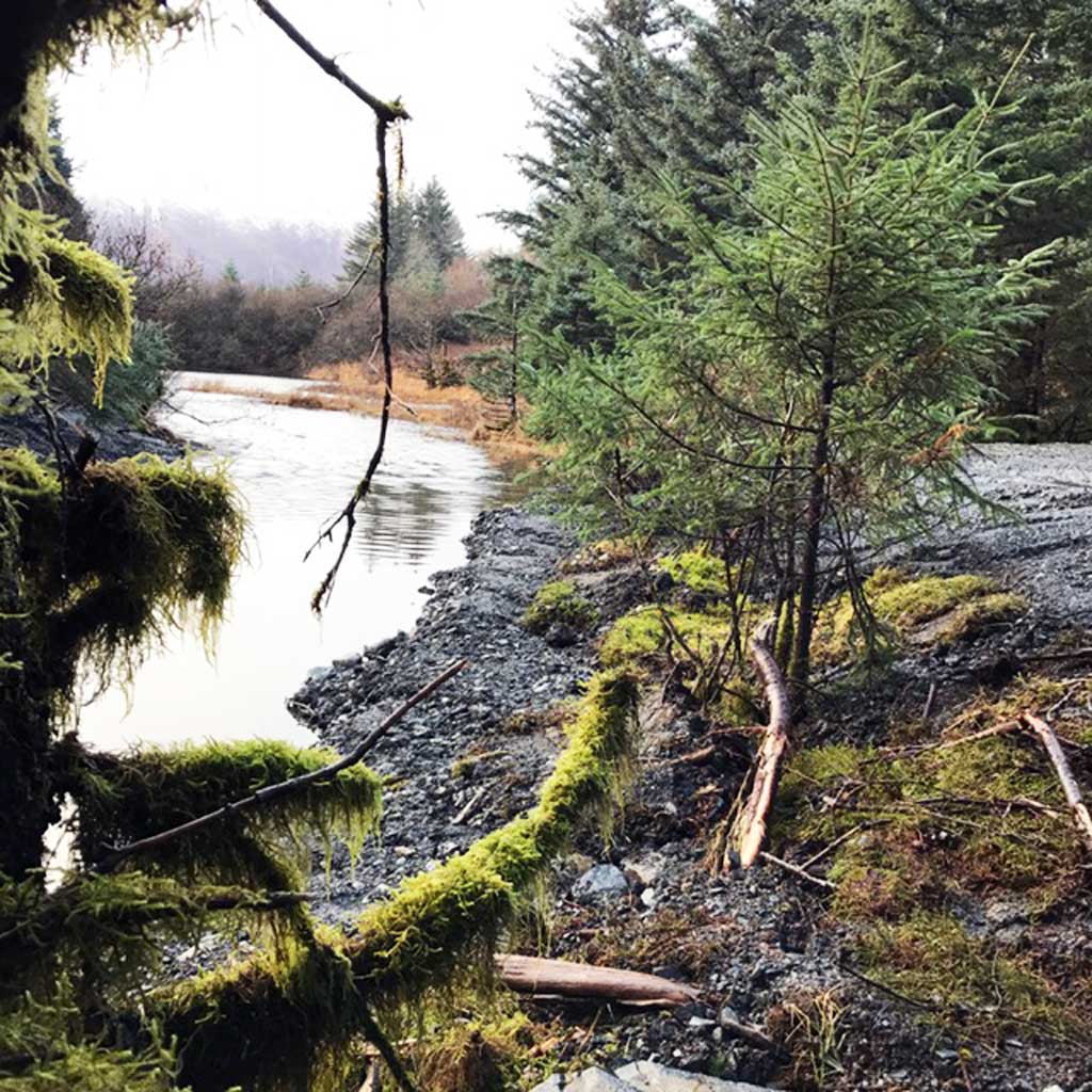
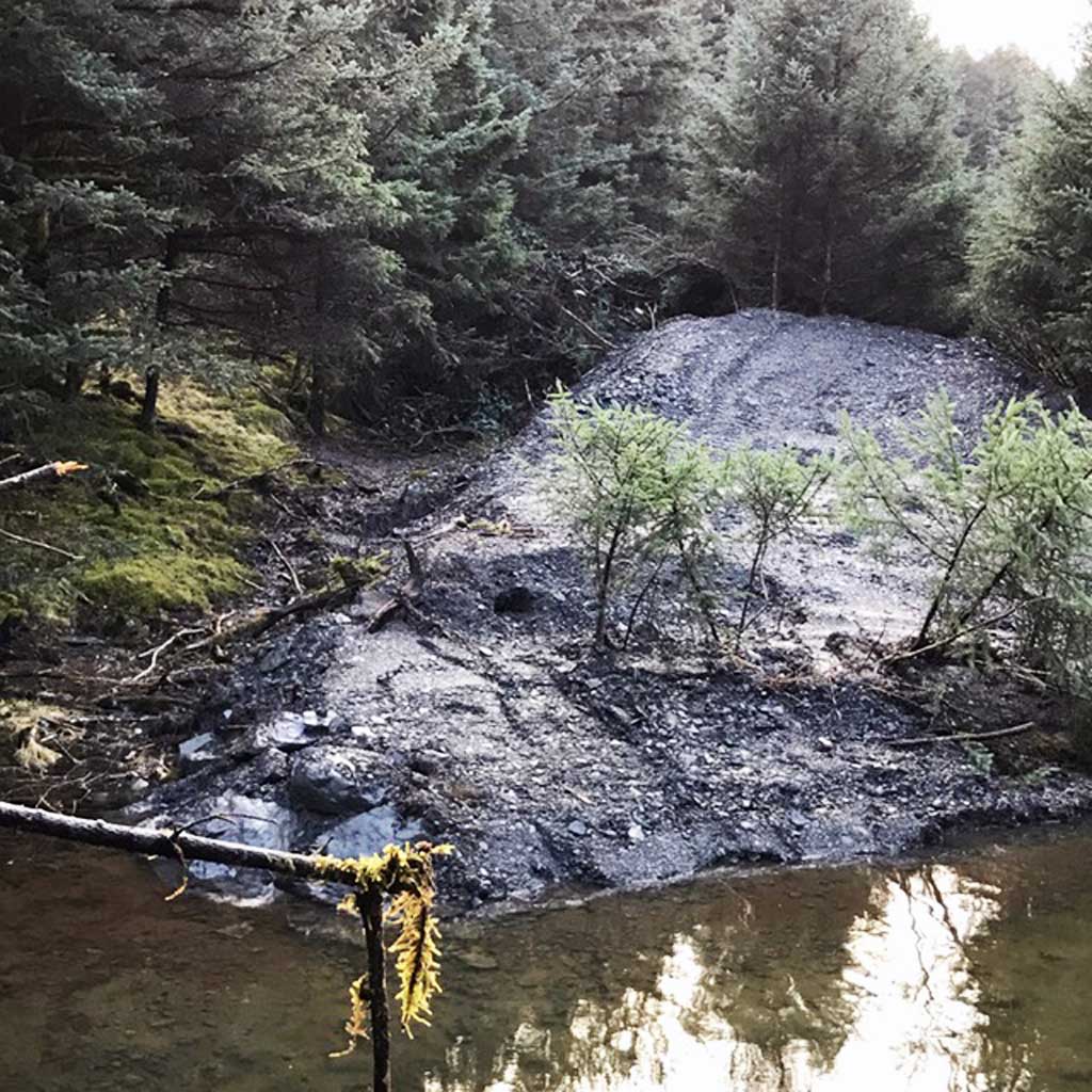
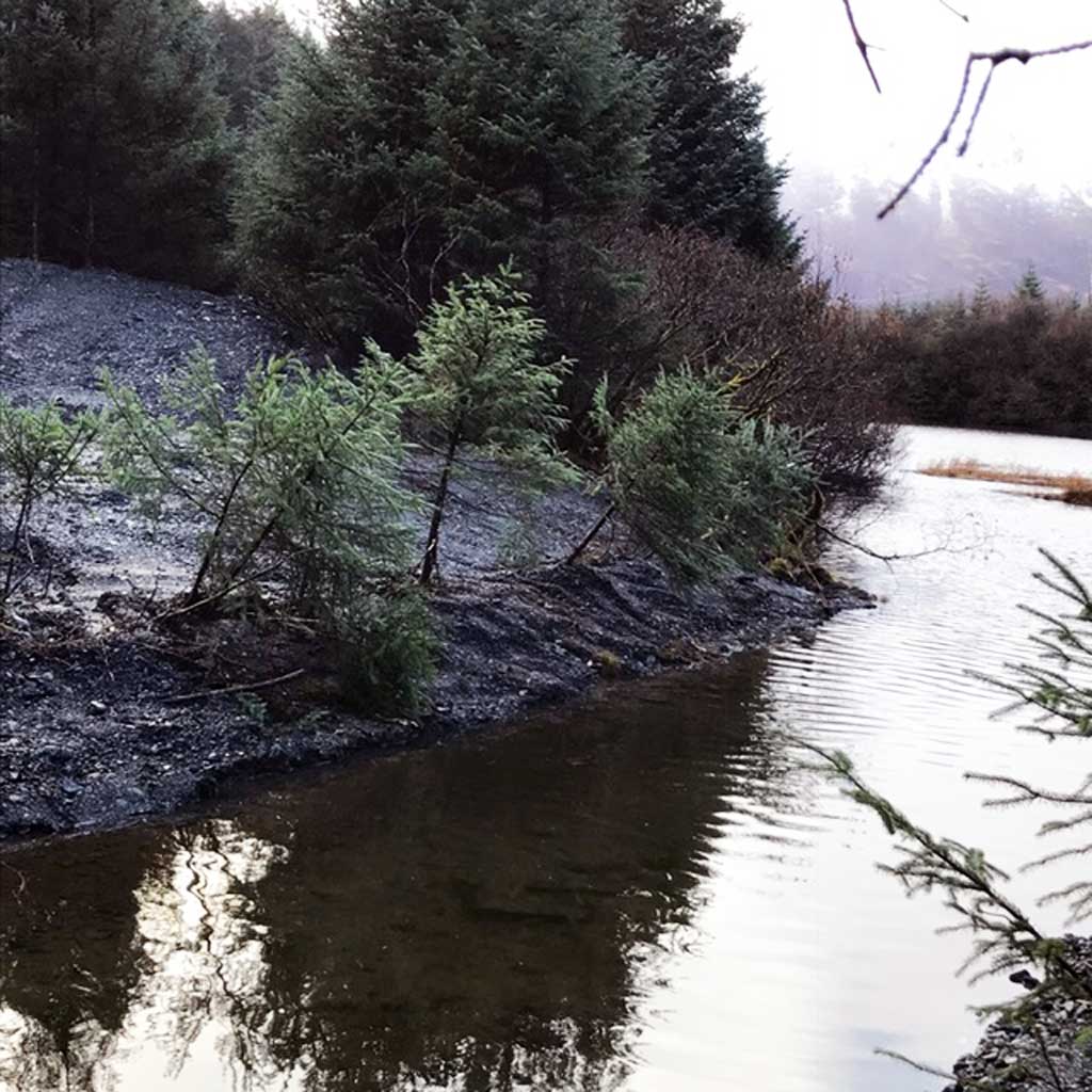
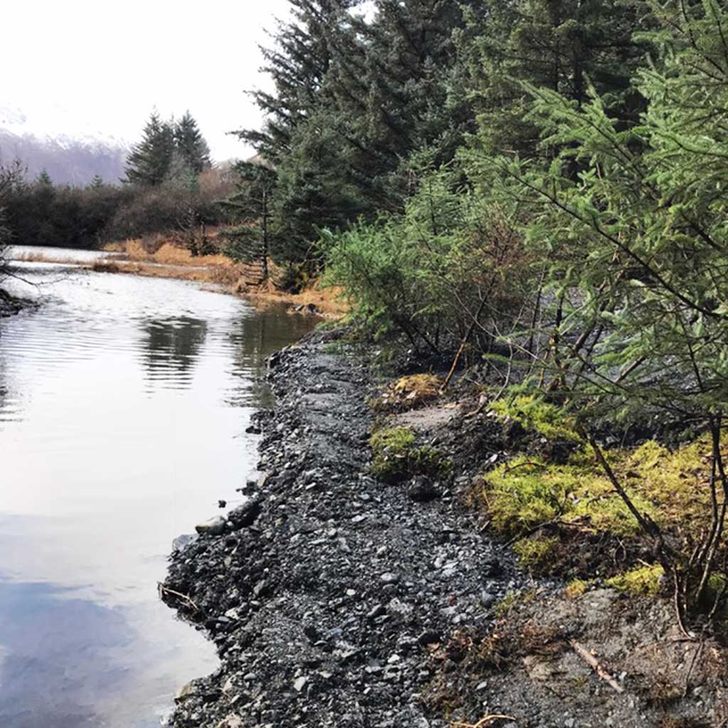
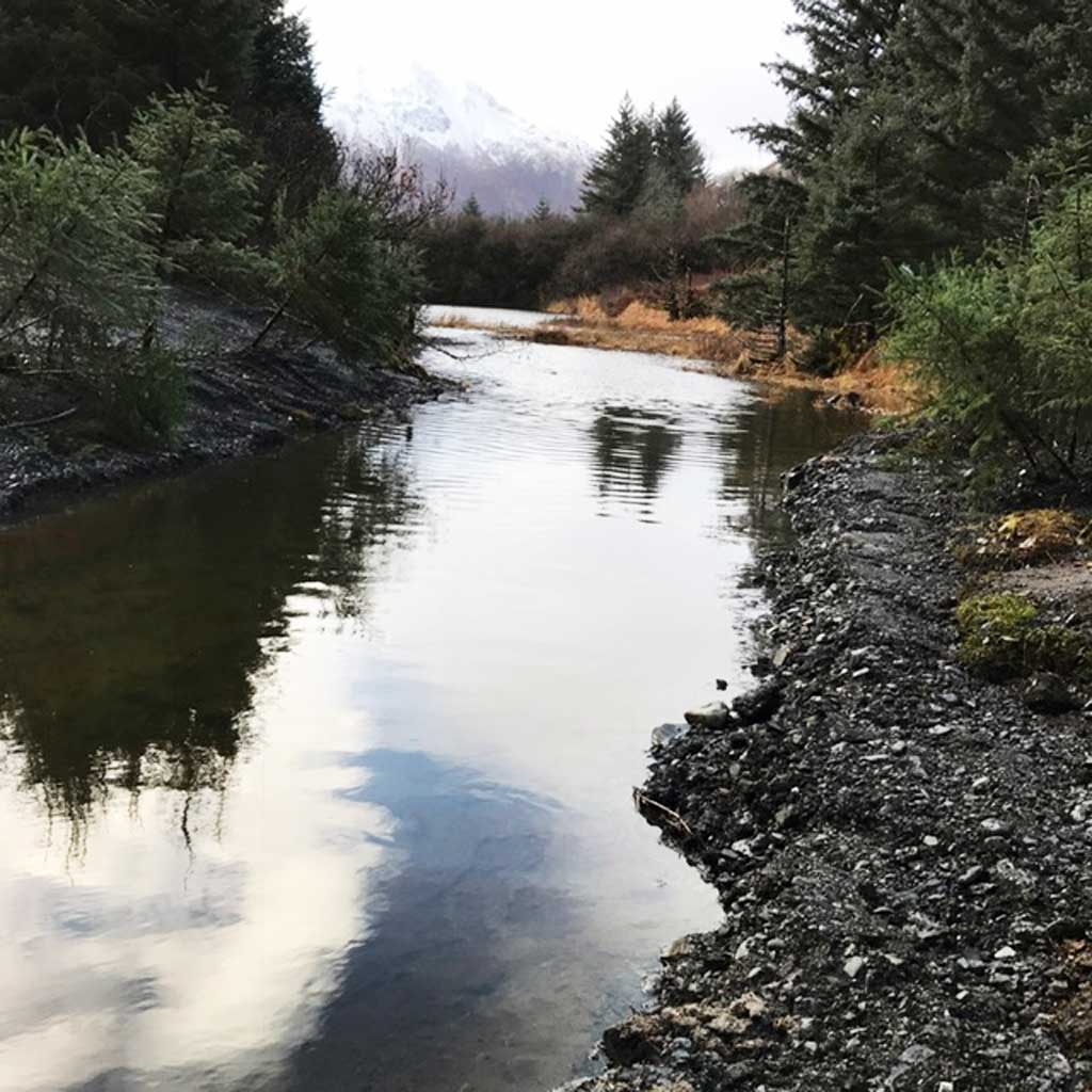
Site Comments: Culverts have been removed site is on an abandoned stretch of the Old Chiniak Highway.
arrow to the right of the survey date below to choose a different report for this site.
Survey UPDATE-3470
Project Supervisor: Gillian O'Doherty, ADFG
Observers:
Overall Fish Passage Rating:
Tidal:
Backwatered:
Step Pools:
Construction Year:
Comments: Culvert has been removed.
Culvert Measurements
No measurement data available.
Stream Measurements
|
|
No stream width data available.
Elevations
No elevation data available.
Fish Sampling Efforts
No fish sampling occurred during this survey.
Fish Observations
No fish observations occurred during this survey.
Photos
Questions or comments about this report can be directed to dfg.dsf.webmaster@alaska.gov