Fish Passage Site 20703438
Coordinates (dec. deg.): 57.77582°, -152.51941°
Legal Description: S028S020W04
Region: Southwest
Road Name: Old Military Road
Datum: WGS84
Quad Name / ITM: Kodiak D-2
AWC Stream #: 259-21-10120-2012
Stream Name: Unnamed
Elevation:
Site Comments: In area referred to as Antenna Area on USCG land.
arrow to the right of the survey date below to choose a different report for this site.
Survey UPDATE-KOD146
Project Supervisor: Gillian O'Doherty, ADFG
Observers: William Frost
Overall Fish Passage Rating:
Tidal: No
Backwatered: No
Step Pools: No
Construction Year:
Site Observations:
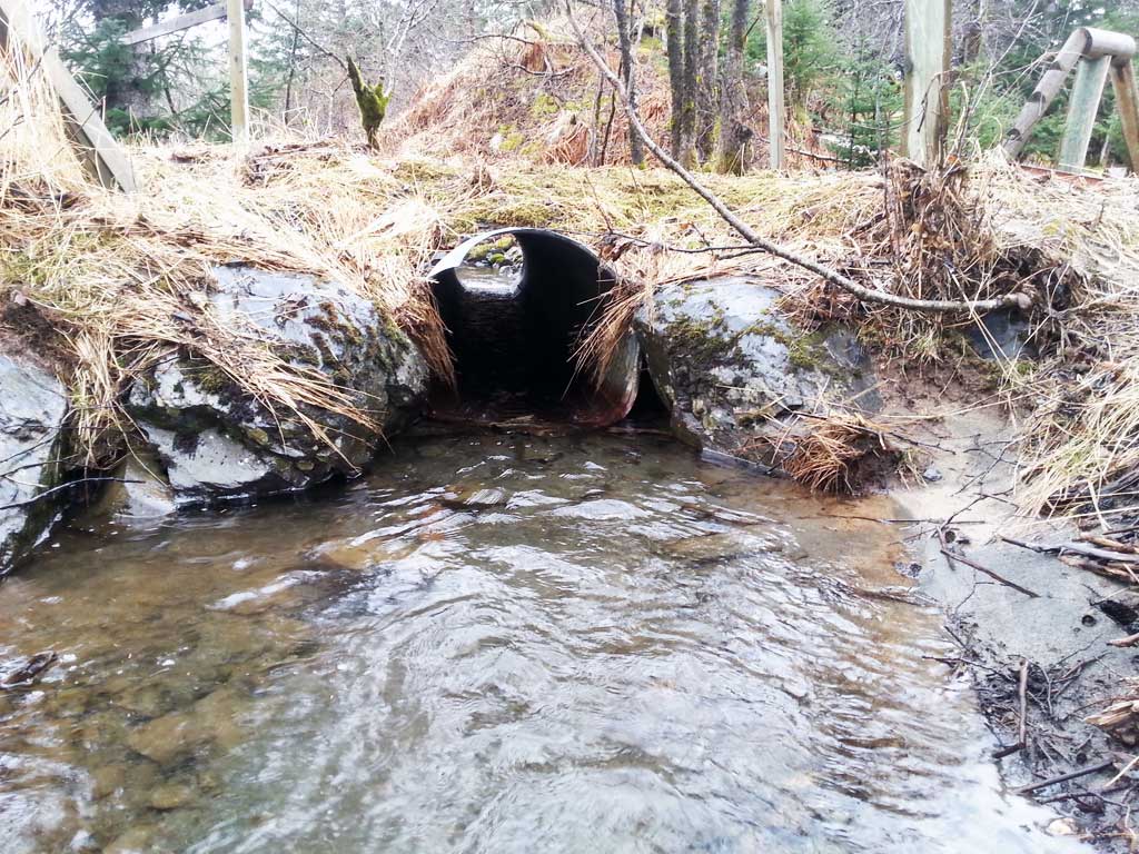
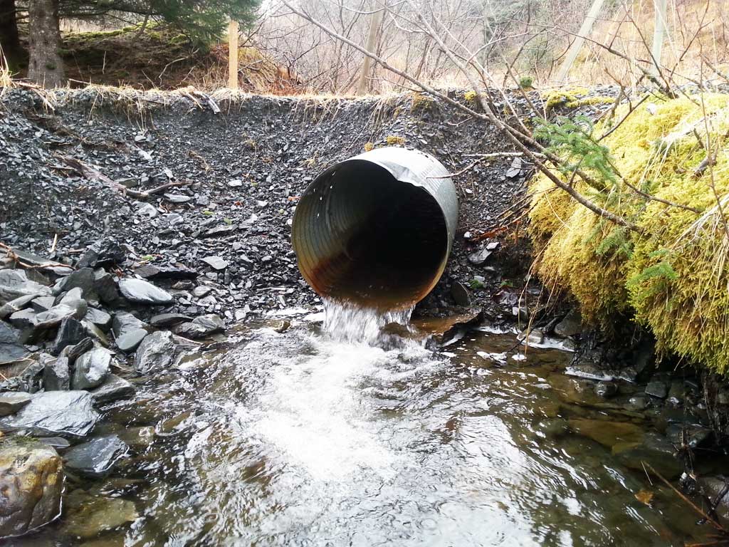
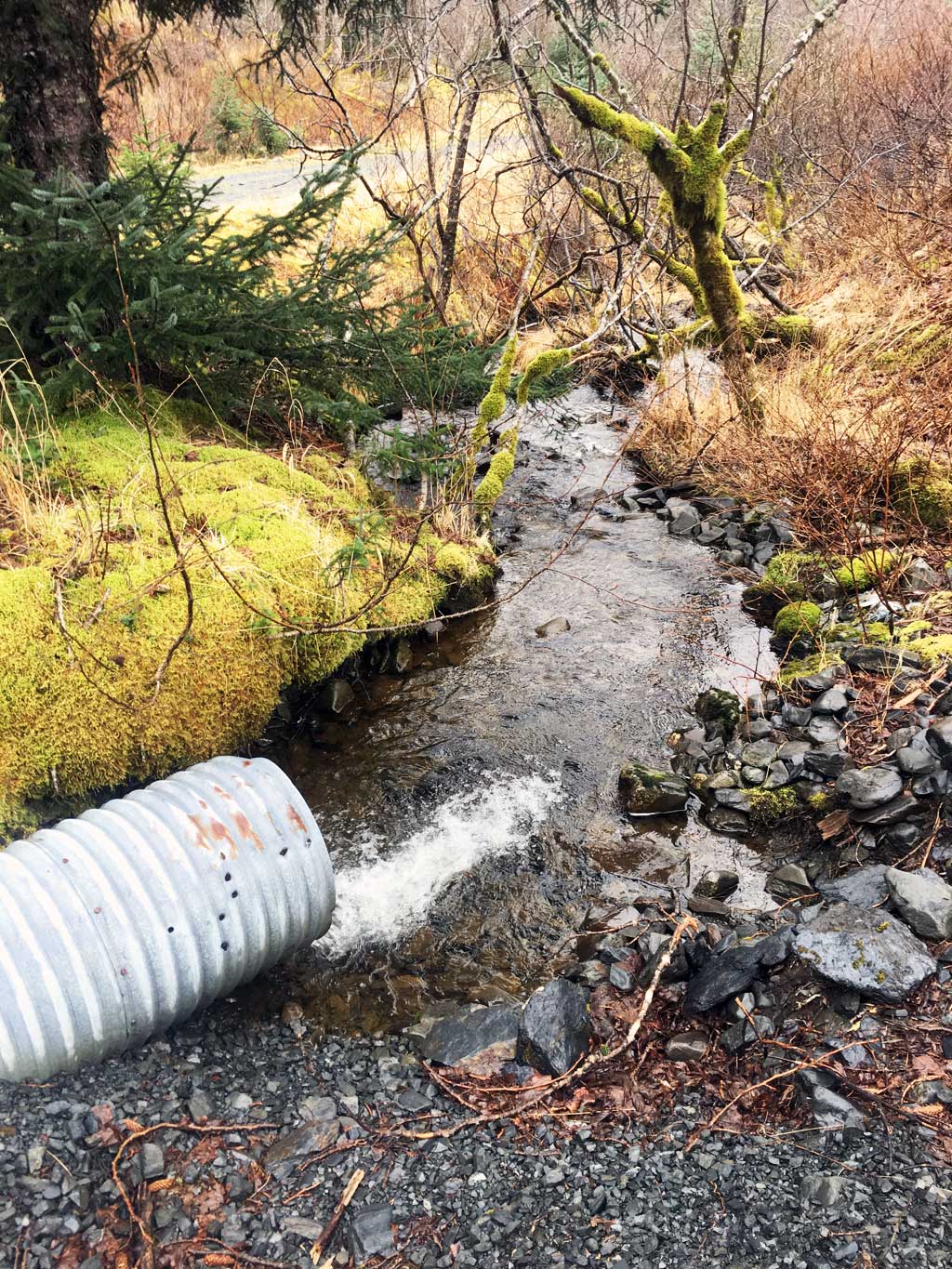
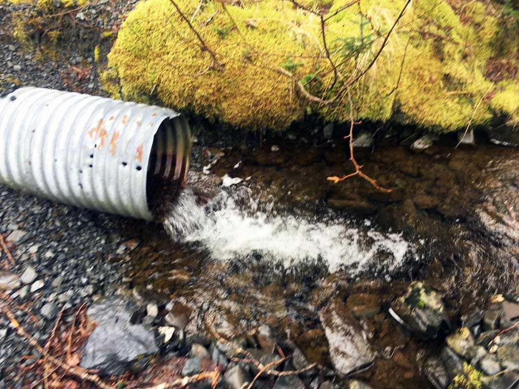
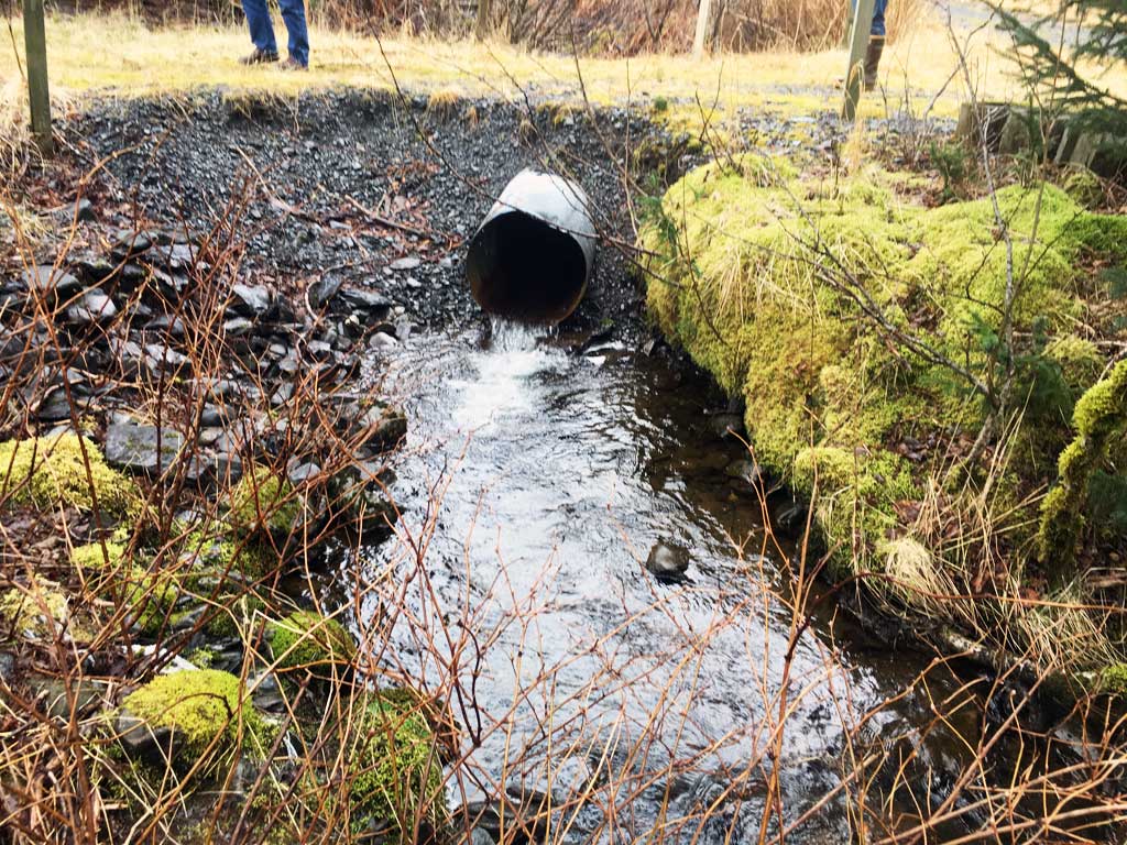
- Outfall height red
Comments: Site submitted by ADFG HB Will Frost. Added additional photos from Heather Hanson USFWS 4/16. Adult Pink salmon observed near culvert.
Culvert Measurements
| ID: 1 | Structure Type: Circular pipe (Corrugated steel) | Fish Passage Rating: | |||||||||||||||||||||||||||||||||||||||||
|
|
|
|||||||||||||||||||||||||||||||||||||||||
Comments: Culvert diameter estimated to be about 2 feet. Outfall height over 4 inches. |
|||||||||||||||||||||||||||||||||||||||||||
Culvert Observations:
|
|||||||||||||||||||||||||||||||||||||||||||
Stream Measurements
|
|
No stream width data available.
Elevations
No elevation data available.
Fish Sampling Efforts
No fish sampling occurred during this survey.
Fish Observations
No fish observations occurred during this survey.
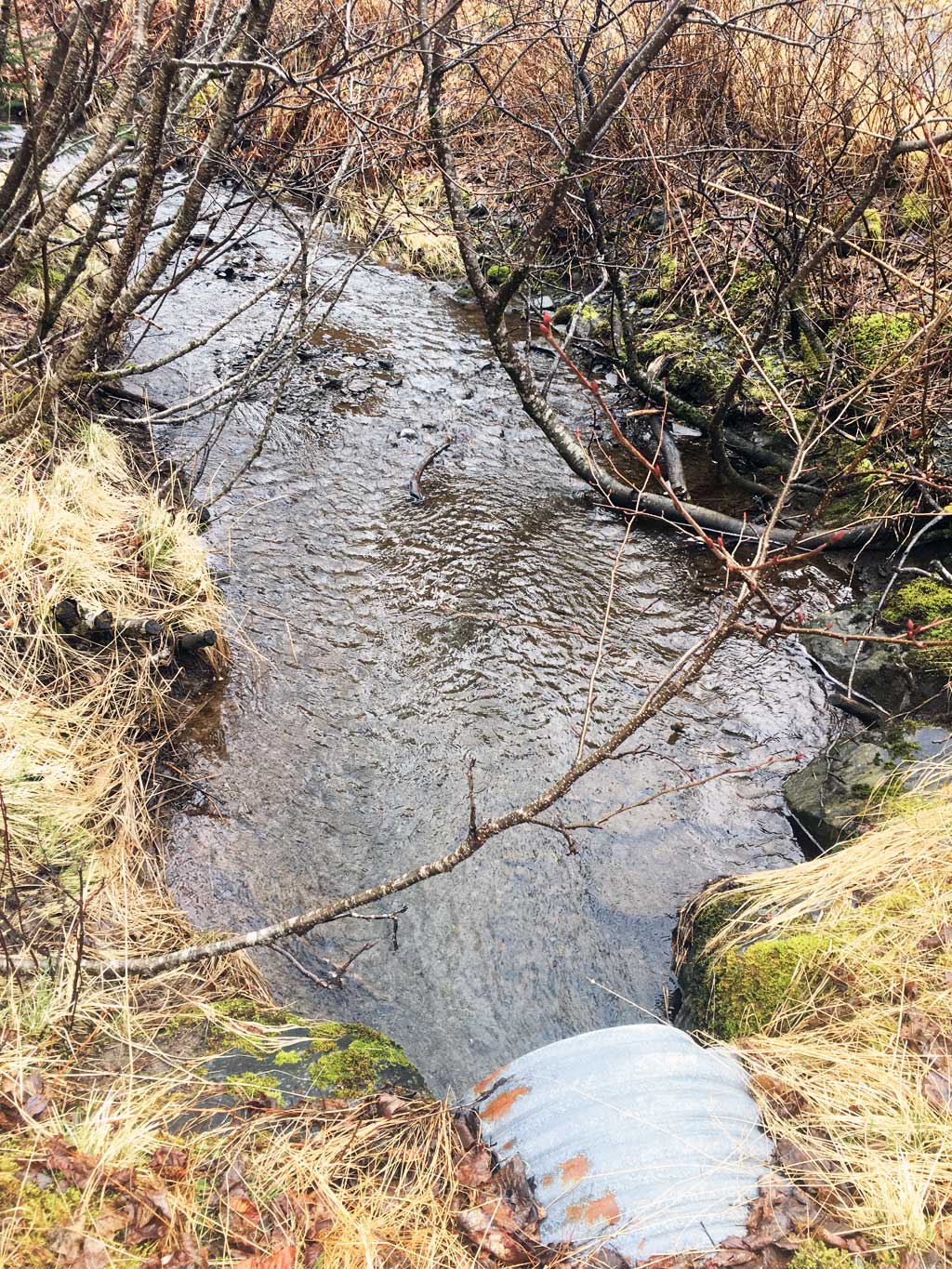
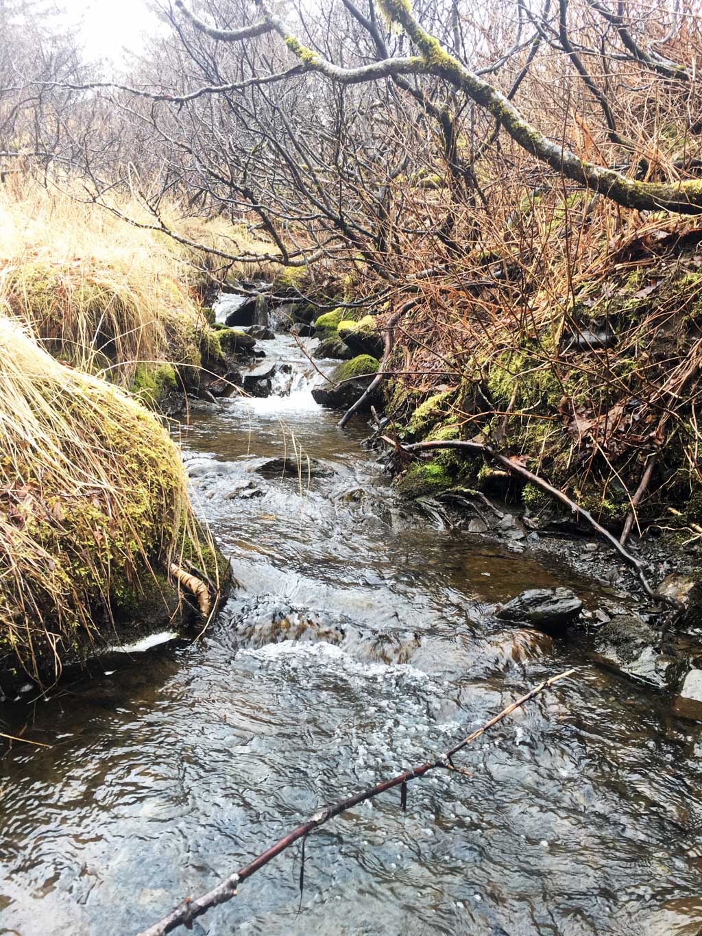
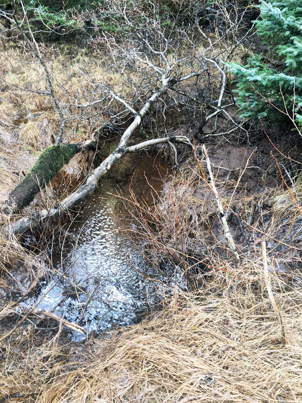
Photos
Questions or comments about this report can be directed to dfg.dsf.webmaster@alaska.gov