Fish Passage Site 20703436
Coordinates (dec. deg.): 57.78183°, -152.54454°
Legal Description: S028S020W05
Region: Southwest
Road Name: Old Military Road
Datum: WGS84
Quad Name / ITM: Kodiak D-2
AWC Stream #: 259-21-10120-2015
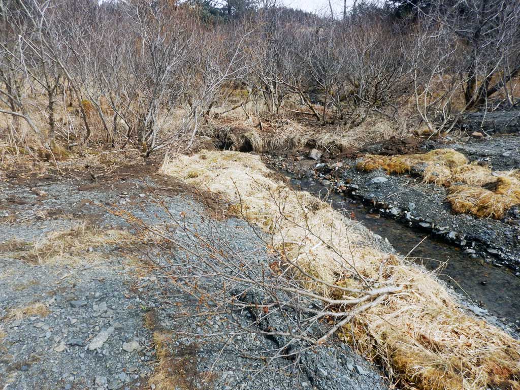
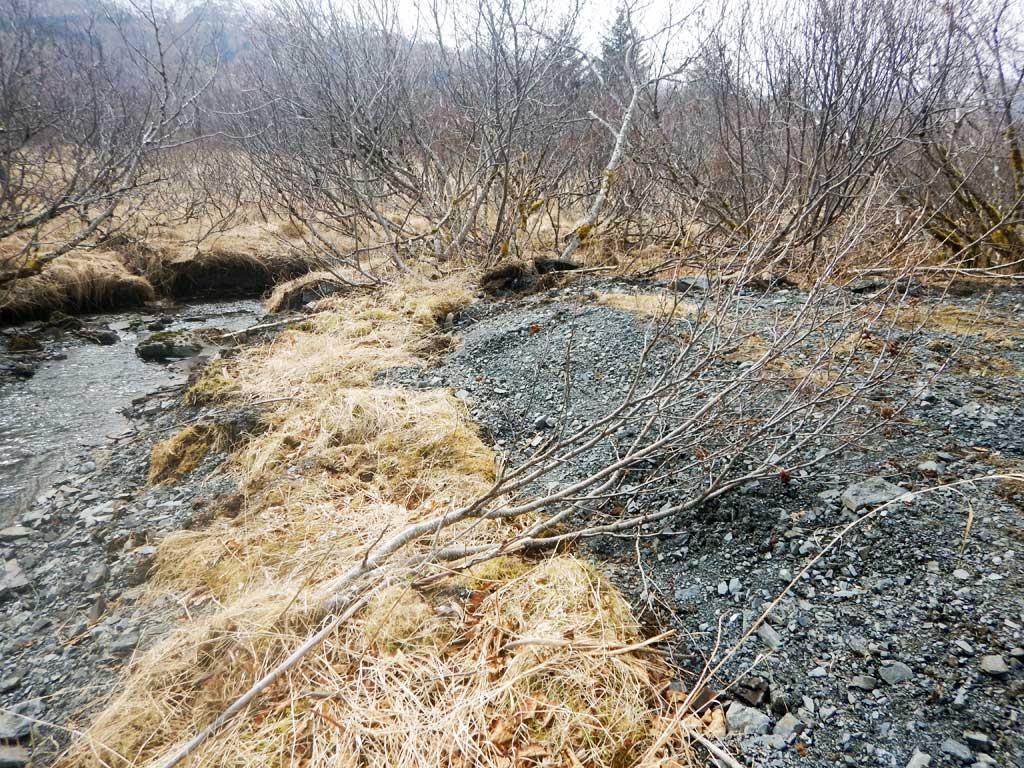
Stream Name: Unnamed Tributary to Buskin Lake
Elevation:
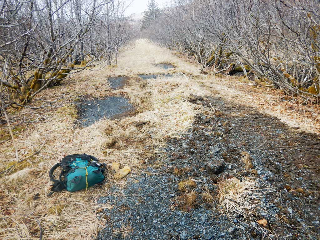
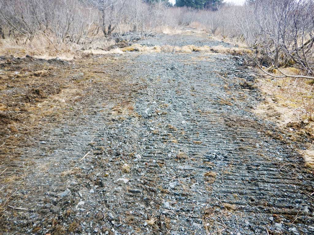
Site Comments: Need military permission to access. From Anton Larsen Bay Road either park at the gate and walk down the relict road as can be seen in the aerial imagery, or park due NE from the site on Anton Larsen Bay Road and navigate to site.
arrow to the right of the survey date below to choose a different report for this site.
Survey UPDATE-3436
Project Supervisor: Gillian O'Doherty, ADFG
Observers: William Frost
Overall Fish Passage Rating:
Tidal:
Backwatered:
Step Pools:
Construction Year:
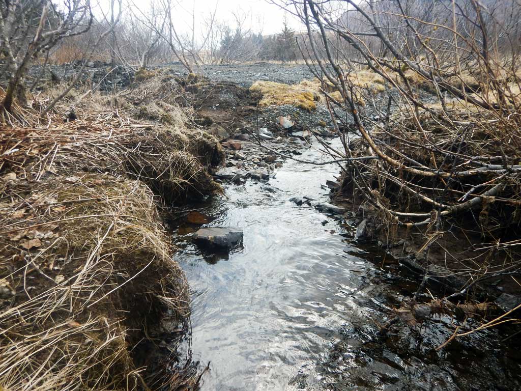
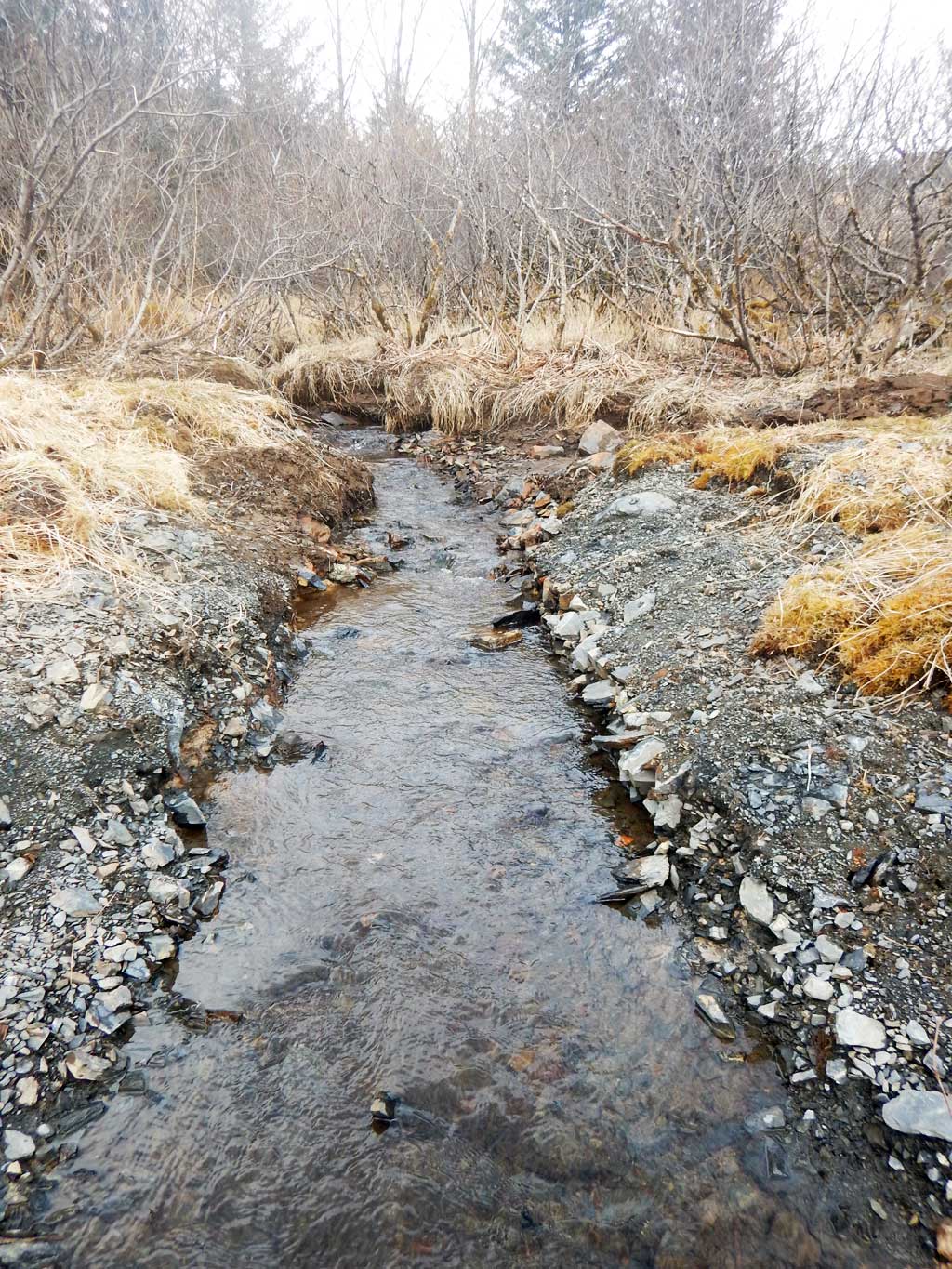
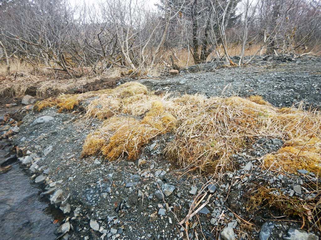
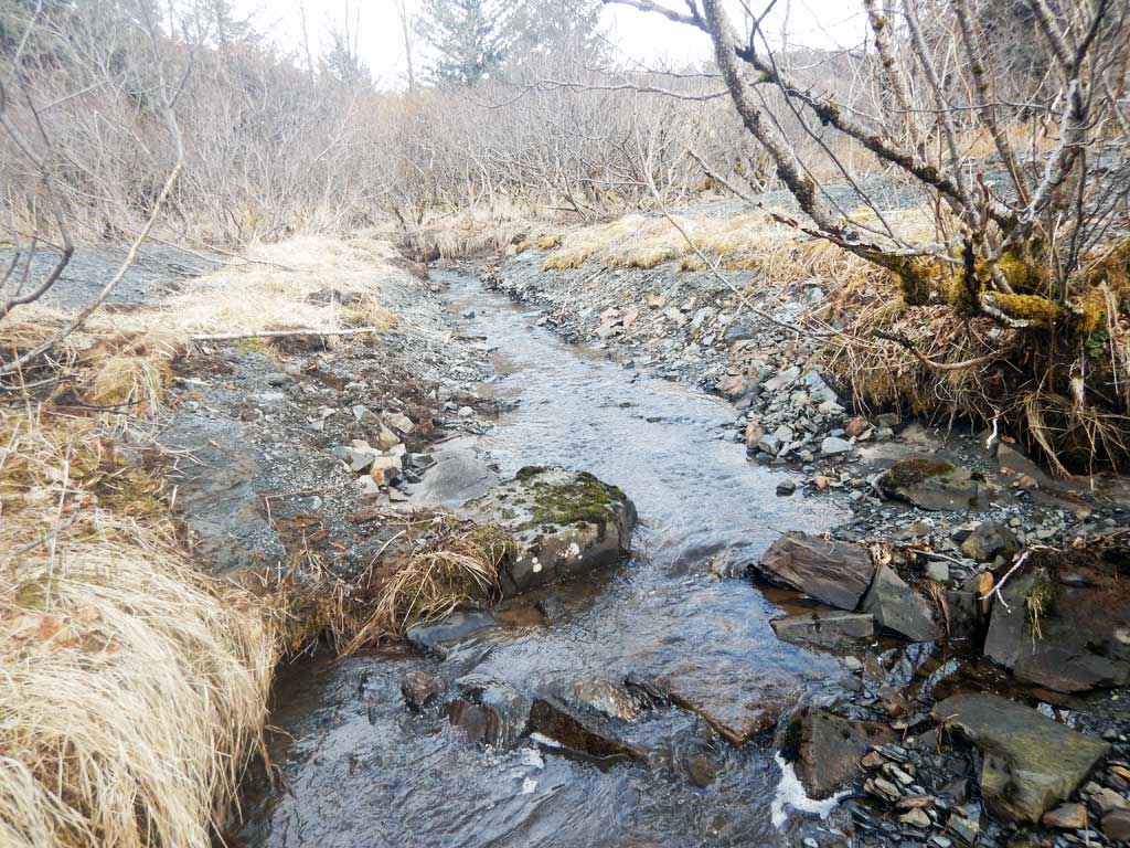
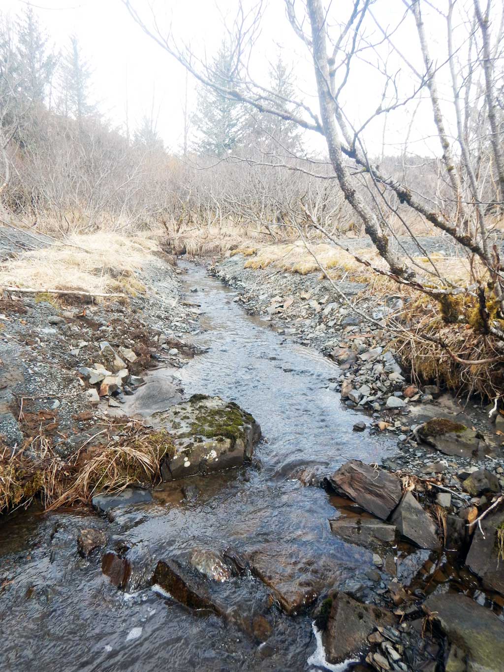
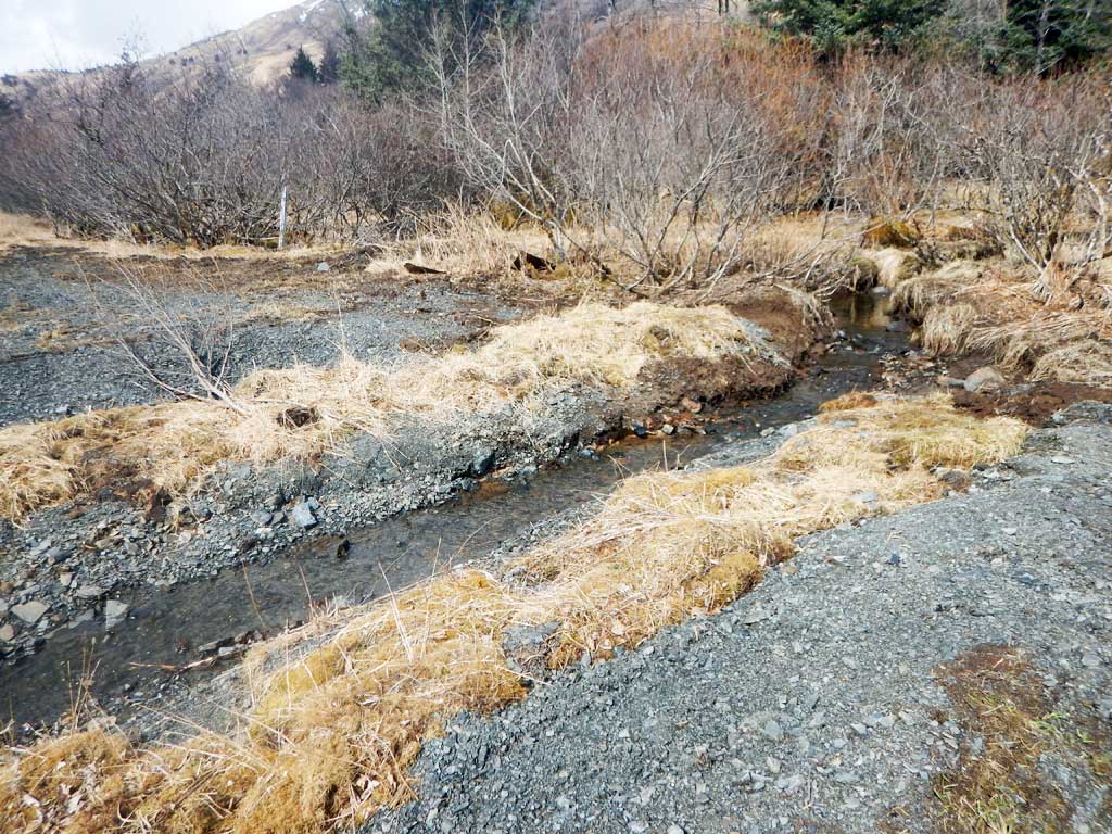
Comments: Culvert has been removed.
Culvert Measurements
No measurement data available.
Stream Measurements
|
|
No stream width data available.
Elevations
No elevation data available.
Fish Sampling Efforts
No fish sampling occurred during this survey.
Fish Observations
No fish observations occurred during this survey.
Photos
Questions or comments about this report can be directed to dfg.dsf.webmaster@alaska.gov