Fish Passage Site 20703435
Coordinates (dec. deg.): 57.70652°, -152.57718°
Legal Description: S028S020W31
Region: Southwest
Road Name: Private Road
Datum: NAD83
Quad Name / ITM: Kodiak C-2
AWC Stream #: 259-22-10020-2006
Stream Name: Lake Orbin Outlet
Elevation:
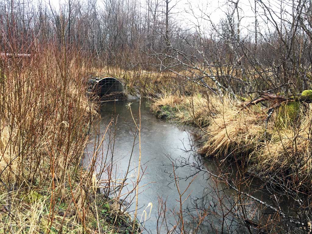
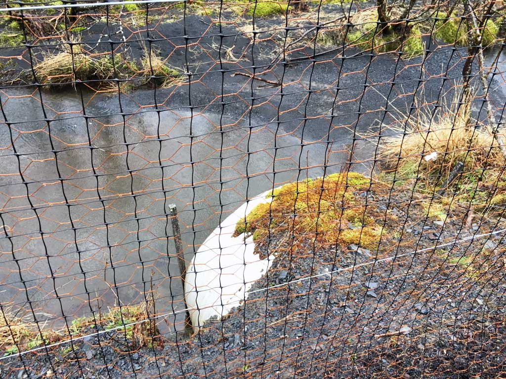
Site Comments: Culvert is right at the mouth of the Lake Orbin Outlet creek and joins a side channel of Russian Creek just downstream.
Survey UPDATE-TRF02
Project Supervisor: Gillian O'Doherty, ADFG
Observers: Mark Eisenman
Overall Fish Passage Rating:
Tidal:
Backwatered:
Step Pools:
Construction Year:
Comments: Site has not previously been surveyed. Photos courtesy of Heather Hanson, USFWS from an April 2016 site visit.
Culvert Measurements
| ID: 1 | Structure Type: Circular pipe (Corrugated steel) | Fish Passage Rating: | |||||||||||||||||||||||||||||||||||||||||
|
|
|
|||||||||||||||||||||||||||||||||||||||||
Stream Measurements
|
|
No stream width data available.
Elevations
No elevation data available.
Fish Sampling Efforts
No fish sampling occurred during this survey.
Fish Observations
No fish observations occurred during this survey.
Photos
Questions or comments about this report can be directed to dfg.dsf.webmaster@alaska.gov