Fish Passage Site 20703347
Coordinates (dec. deg.): 57.62005°, -152.32670°
Legal Description: S029S019W34
Region: Southwest
Road Name: Chiniak Highway
Datum: NAD83
Quad Name / ITM: Kodiak C-1
AWC Stream #:
Stream Name: Roslyn Creek Unnamed Tributary
Elevation:
Site Comments: None
Survey UPDATE-KOD13
Project Supervisor: Gillian O'Doherty, ADFG
Observers: William Frost
Overall Fish Passage Rating:
Tidal:
Backwatered:
Step Pools:
Construction Year:
Site Observations:
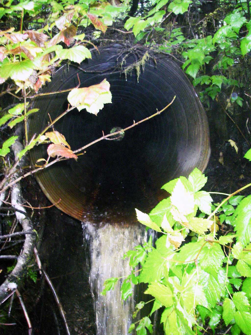
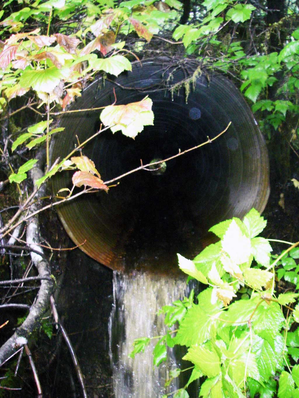
- Outfall height red
Comments: Site submitted by ADFG HB Will Frost.
Culvert Measurements
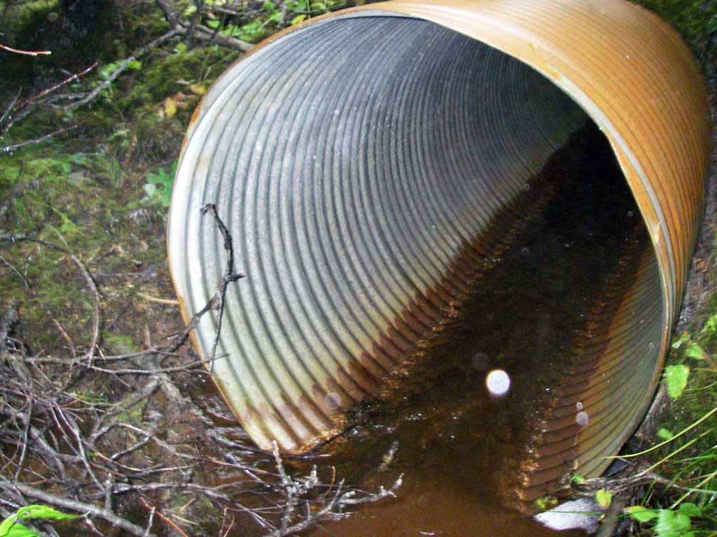
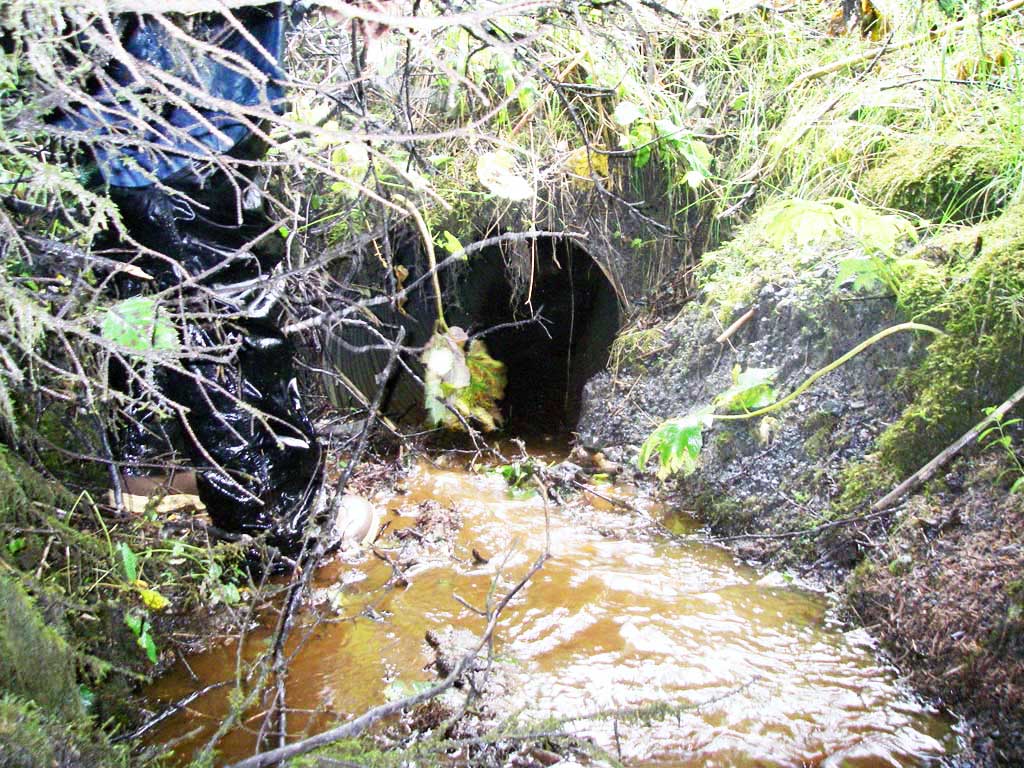
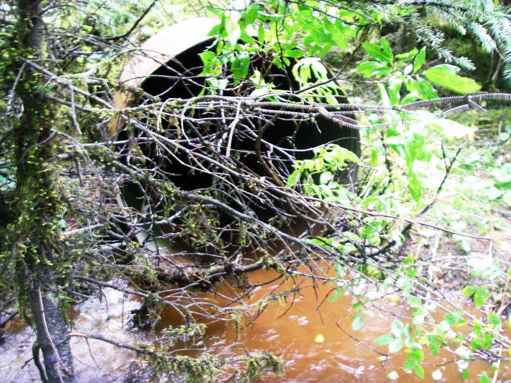
| ID: 1 | Structure Type: Circular pipe (Corrugated steel) | Fish Passage Rating: | |||||||||||||||||||||||||||||||||||||||||
|
|
|
|||||||||||||||||||||||||||||||||||||||||
Comments: Outfall hieght from photos is over 4 inches. Culvert was measured at 38 inches. |
|||||||||||||||||||||||||||||||||||||||||||
Culvert Observations:
|
|||||||||||||||||||||||||||||||||||||||||||
Stream Measurements
|
|
No stream width data available.
Elevations
No elevation data available.
Fish Sampling Efforts
No fish sampling occurred during this survey.
Fish Observations
No fish observations occurred during this survey.
Photos
Questions or comments about this report can be directed to dfg.dsf.webmaster@alaska.gov