Fish Passage Site 20703260
Coordinates (dec. deg.): 57.75820°, -152.52604°
Legal Description: S028S020W09
Region: Southwest
Road Name: Burma Road
Datum: WGS84
Quad Name / ITM: Kodiak D-2
AWC Stream #: 259-21-10120-2007-3029
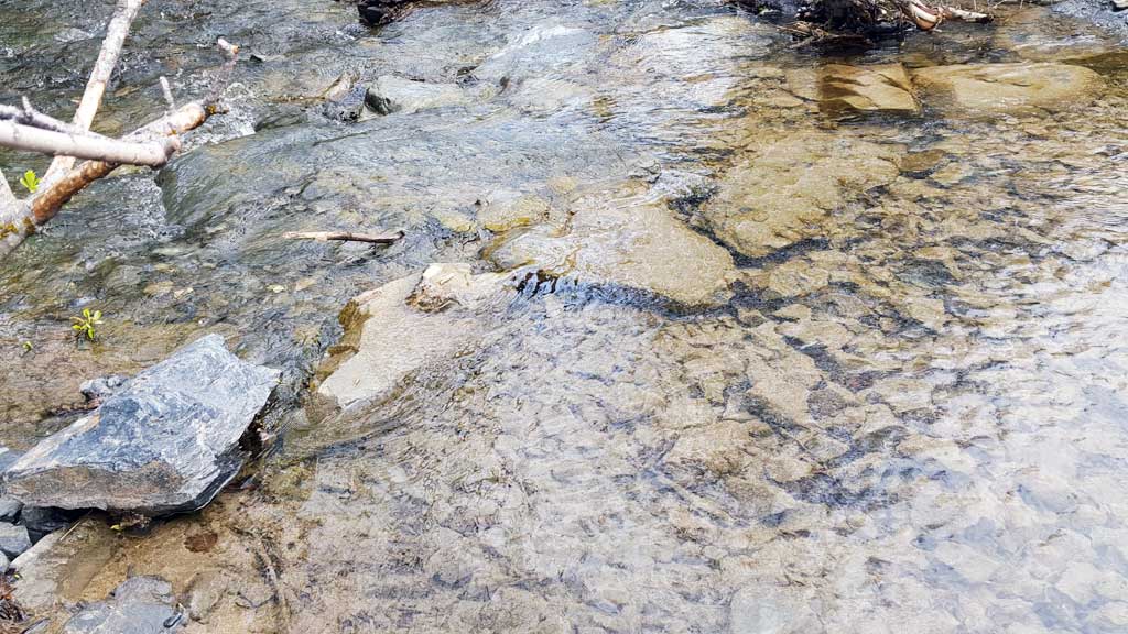
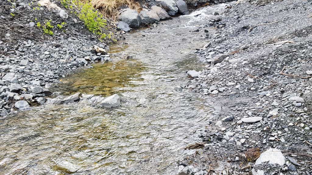
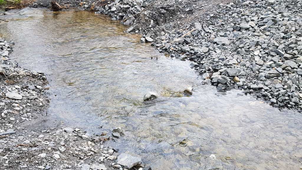
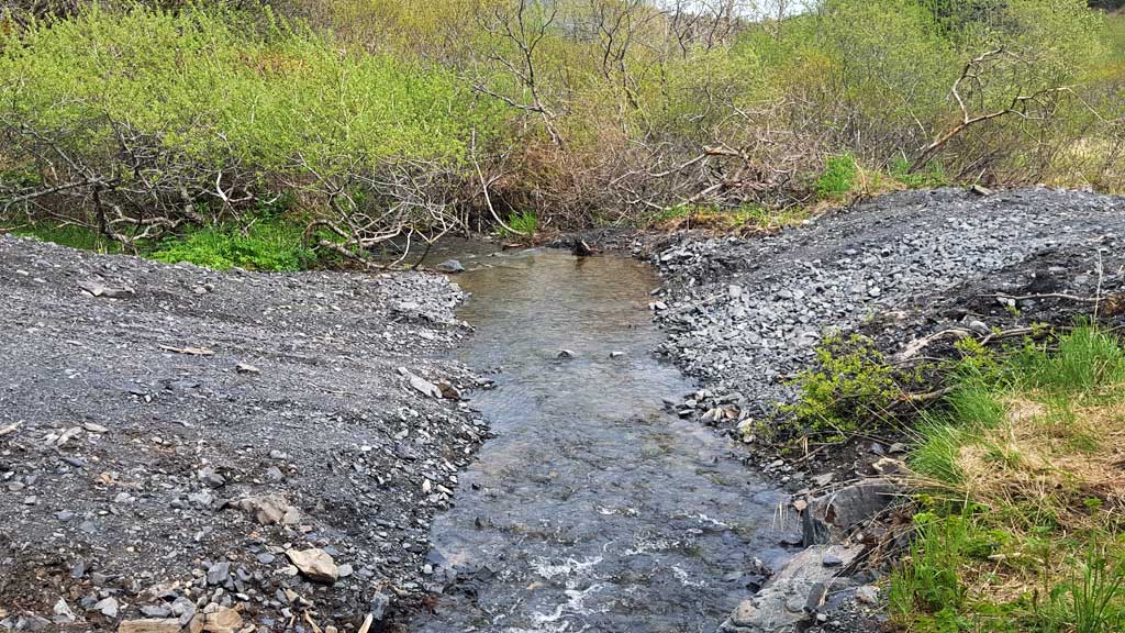
Stream Name: Unnamed
Elevation:
Site Comments: Site is on abandoned road across Rezanof Drive West from the Kodiak airport. Google maps calls this road Rezanof Drive West. Park and walk up the abandoned road about 600 yards. Site is still used as an ATV ford.
arrow to the right of the survey date below to choose a different report for this site.
Survey UPDATE-3260
Project Supervisor: Gillian O'Doherty, ADFG
Observers: William Frost
Overall Fish Passage Rating:
Tidal:
Backwatered:
Step Pools:
Construction Year: 2017
Comments: Site was removed May 2017. ATV ford.
Culvert Measurements
No measurement data available.
Stream Measurements
|
|
No stream width data available.
Elevations
No elevation data available.
Fish Sampling Efforts
No fish sampling occurred during this survey.
Fish Observations
No fish observations occurred during this survey.
Photos

Questions or comments about this report can be directed to dfg.dsf.webmaster@alaska.gov