Fish Passage Site 20703254
Coordinates (dec. deg.): 57.76665°, -152.53308°
Legal Description: S028S020W09
Region: Southwest
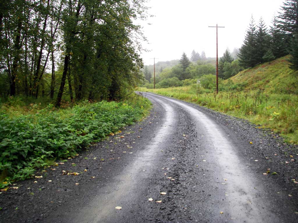
Road Name: USGS Battery Road
Datum: WGS84
Quad Name / ITM: Kodiak D-2
AWC Stream #: 259-21-10120-2011
Stream Name: Battery Creek Tributary
Elevation:
Site Comments: Culvert is on a road owned by the Coast Guard base.
arrow to the right of the survey date below to choose a different report for this site.
Survey UPDATE-KOD01
Project Supervisor: Gillian O'Doherty, ADFG
Observers: William Frost
Overall Fish Passage Rating:
Tidal: No
Backwatered: No
Step Pools: No
Construction Year:
Comments: Site submitted by ADFG HB Will Frost.
Culvert Measurements
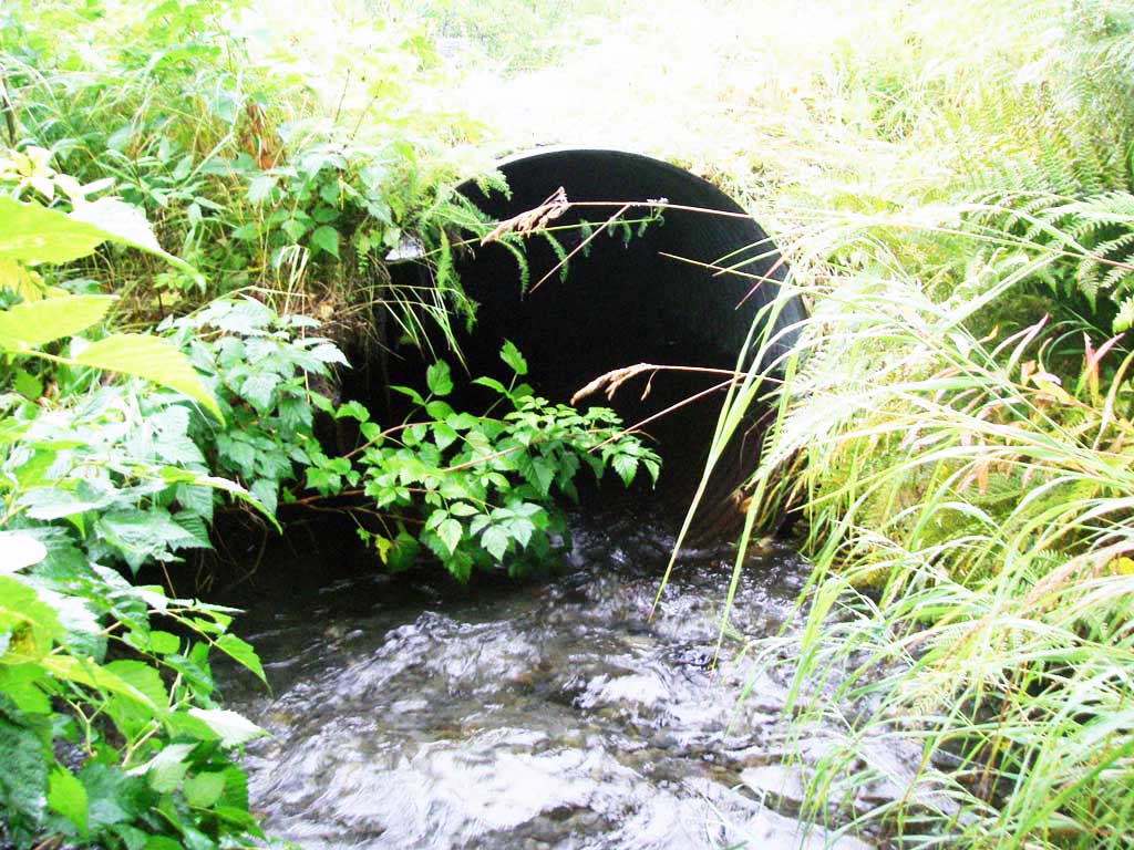
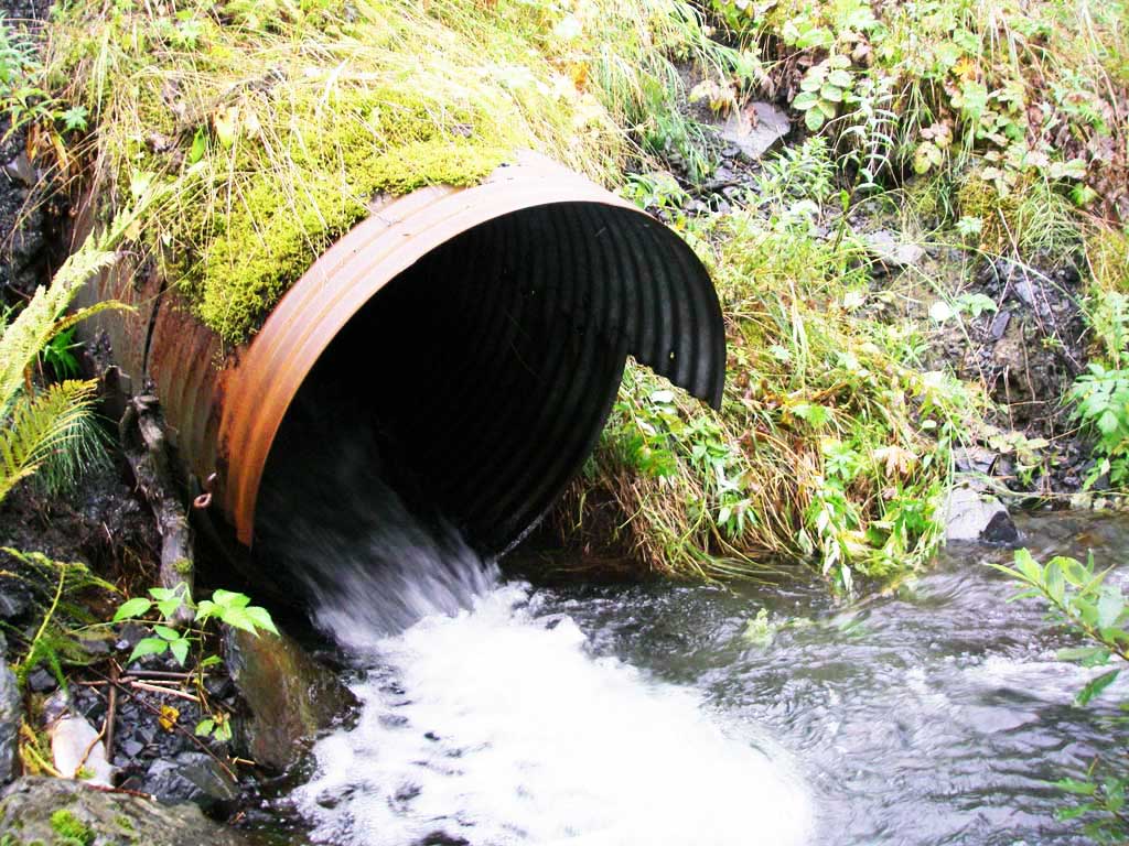
| ID: 1 | Structure Type: Circular pipe (Corrugated steel) | Fish Passage Rating: | |||||||||||||||||||||||||||||||||||||||||
|
|
|
|||||||||||||||||||||||||||||||||||||||||
Comments: Culvert dimensions are estimates. Culvert width 3.2 ft, culvert height 3.2 ft. Culvert appears to be a barrier to fish passage. |
|||||||||||||||||||||||||||||||||||||||||||
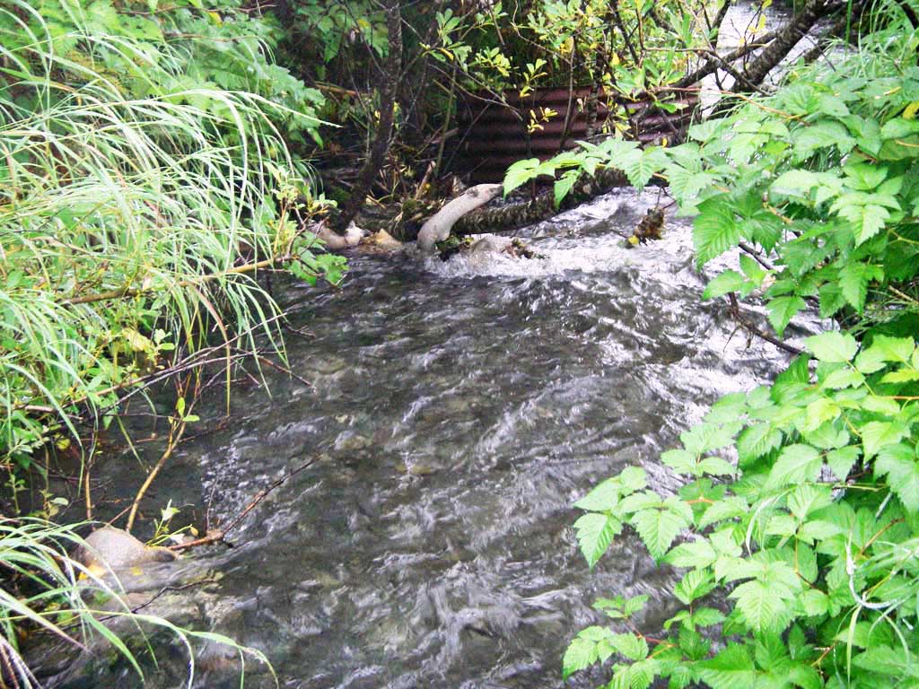
Stream Measurements
|
|
No stream width data available.
Elevations
No elevation data available.
Fish Sampling Efforts
No fish sampling occurred during this survey.
Fish Observations
No fish observations occurred during this survey.
Photos
Questions or comments about this report can be directed to dfg.dsf.webmaster@alaska.gov