Fish Passage Site 20703088
Coordinates (dec. deg.): 57.77675°, -152.56648°
Legal Description: S028S020W05
Region: Southwest
Road Name: Old Military Road
Datum: WGS84
Quad Name / ITM: Kodiak D-2
AWC Stream #:
Stream Name: Unnamed Stream
Elevation:
Site Comments: Survey performed by Kodiak Soil and Water Conservation District for Kodiak Stream Crossing Culvert Assessment Project.
arrow to the right of the survey date below to choose a different report for this site.
Survey UPDATE-AL03
Project Supervisor: Gillian O'Doherty, ADFG
Observers:
Overall Fish Passage Rating:
Tidal:
Backwatered:
Step Pools:
Construction Year:
Comments: Culvert was removed in July 2012.
Culvert Measurements
No measurement data available.
Stream Measurements
|
|
No stream width data available.
Elevations
No elevation data available.
Fish Sampling Efforts
No fish sampling occurred during this survey.
Fish Observations
No fish observations occurred during this survey.
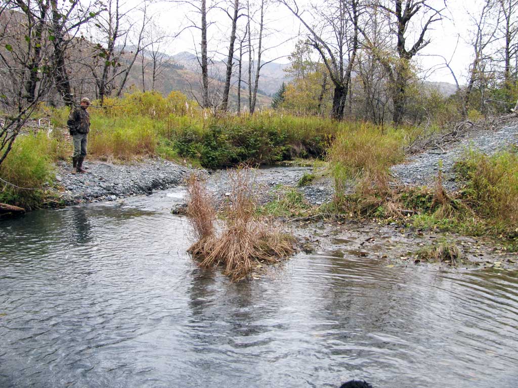
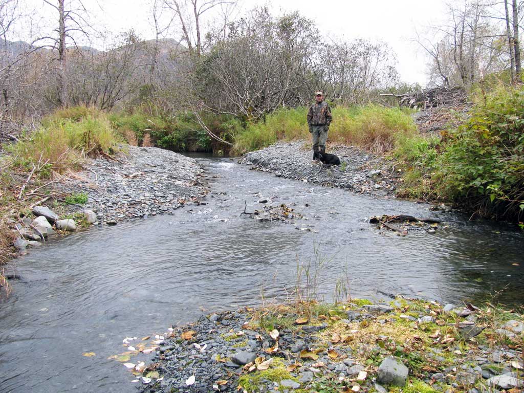
Photos
Questions or comments about this report can be directed to dfg.dsf.webmaster@alaska.gov