Fish Passage Site 20700868
Coordinates (dec. deg.): 57.55079°, -152.46741°
Legal Description: S030S020W27
Region: Southwest
Road Name: Pasagshak Road
Datum: WGS84
Quad Name / ITM: Kodiak C-2
AWC Stream #: 259-24-10030-2009
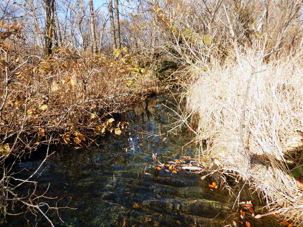
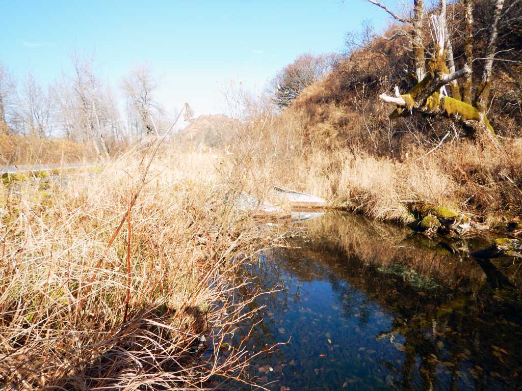
Stream Name: Unnamed
Elevation:
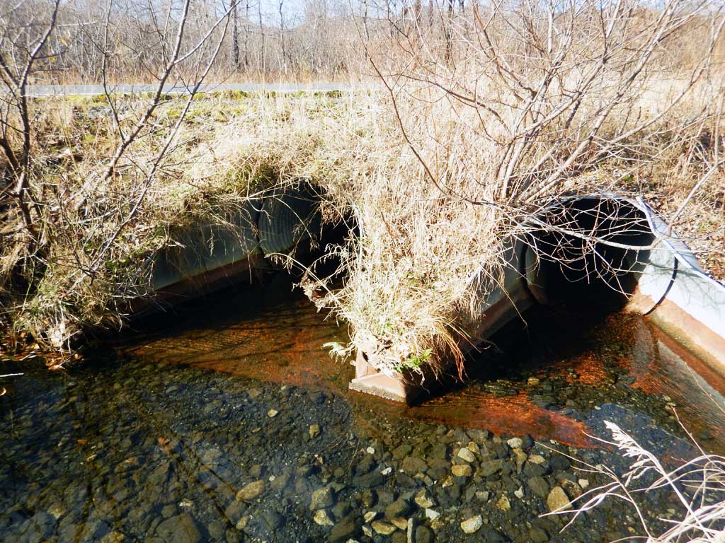
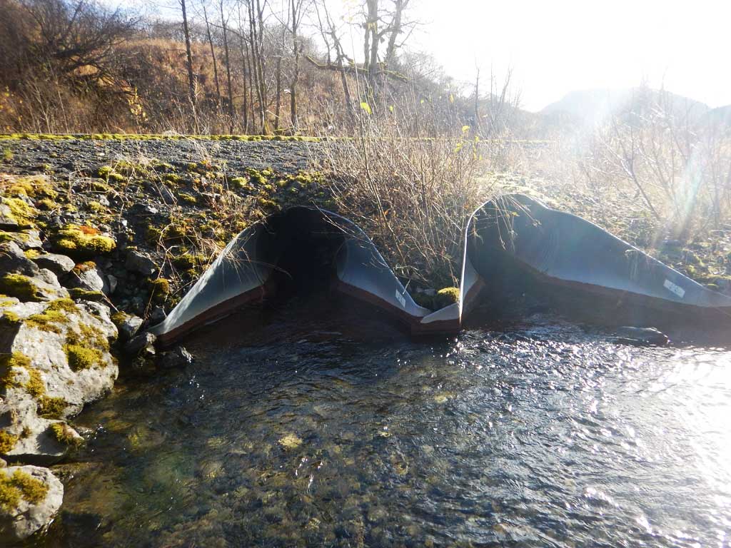
Site Comments: **MODIFIED since survey**- existing culverts extended. Located at MP 2.13.
arrow to the right of the survey date below to choose a different report for this site.
Survey UPDATE-9
Project Supervisor: Gillian O'Doherty, ADFG
Observers: Gillian O'Doherty
Overall Fish Passage Rating:
Tidal:
Backwatered:
Step Pools:
Construction Year:
Comments: **MODIFIED- not resurveyed** existing culverts extended 10 feet.
Culvert Measurements
No measurement data available.
Stream Measurements
|
|
No stream width data available.
Elevations
No elevation data available.
Fish Sampling Efforts
No fish sampling occurred during this survey.
Fish Observations
No fish observations occurred during this survey.
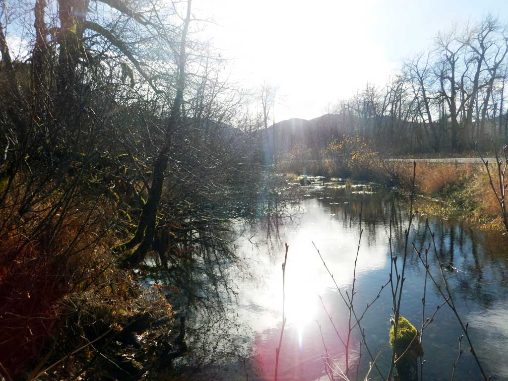
Photos
Questions or comments about this report can be directed to dfg.dsf.webmaster@alaska.gov