Fish Passage Site 20700861
Coordinates (dec. deg.): 57.48887°, -152.45292°
Legal Description: S031S020W14
Region: Southwest
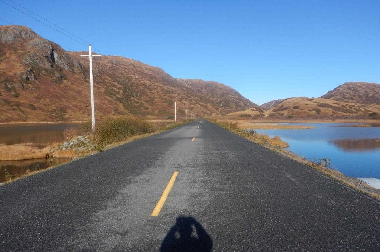
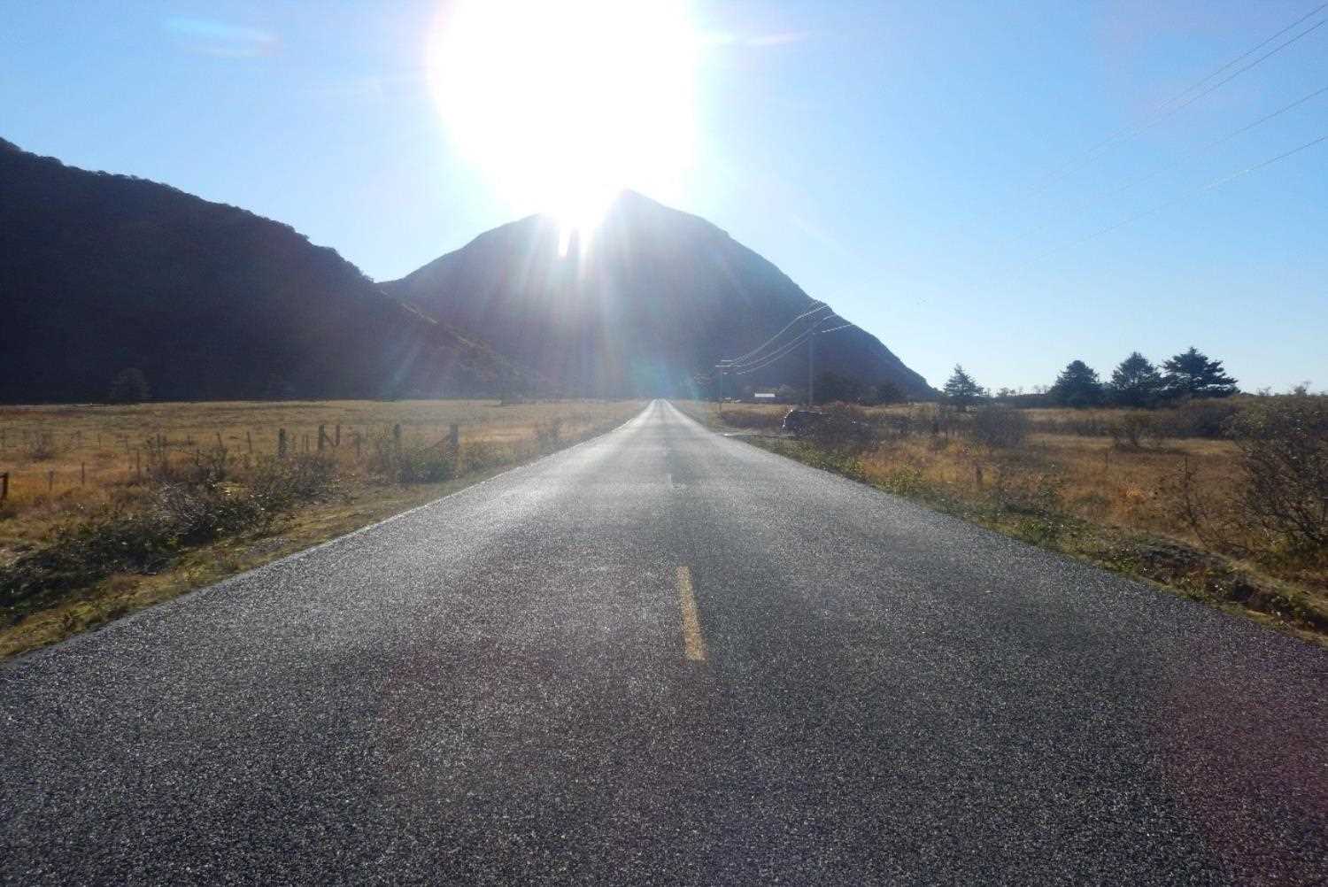
Road Name: Pasagshak Road
Datum: WGS84
Quad Name / ITM: Kodiak B-2
AWC Stream #: Y
Stream Name: Unnamed
Elevation:
Site Comments: None
arrow to the right of the survey date below to choose a different report for this site.
Survey UPD20-PGH20
Project Supervisor: Gillian O'Doherty, Alaska Department of Fish and Game
— Anchorage, AK
Observers: Kim Clark, William Frost
Overall Fish Passage Rating:
Tidal:
Backwatered:
Step Pools:
Construction Year: 2006
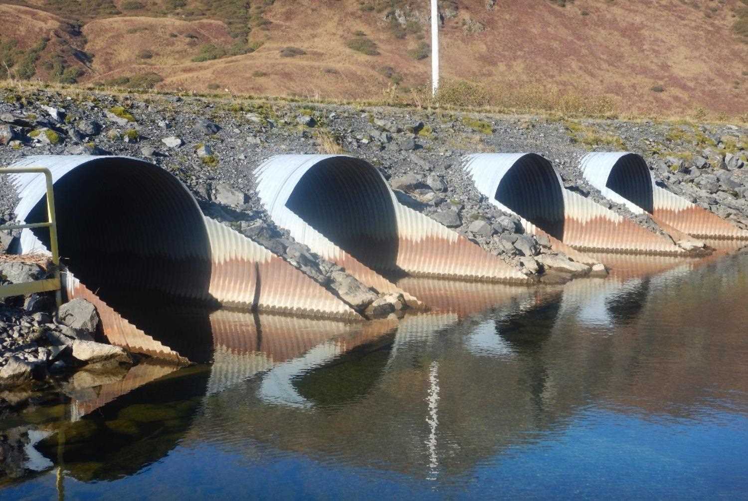
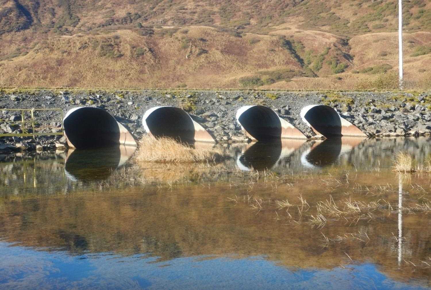
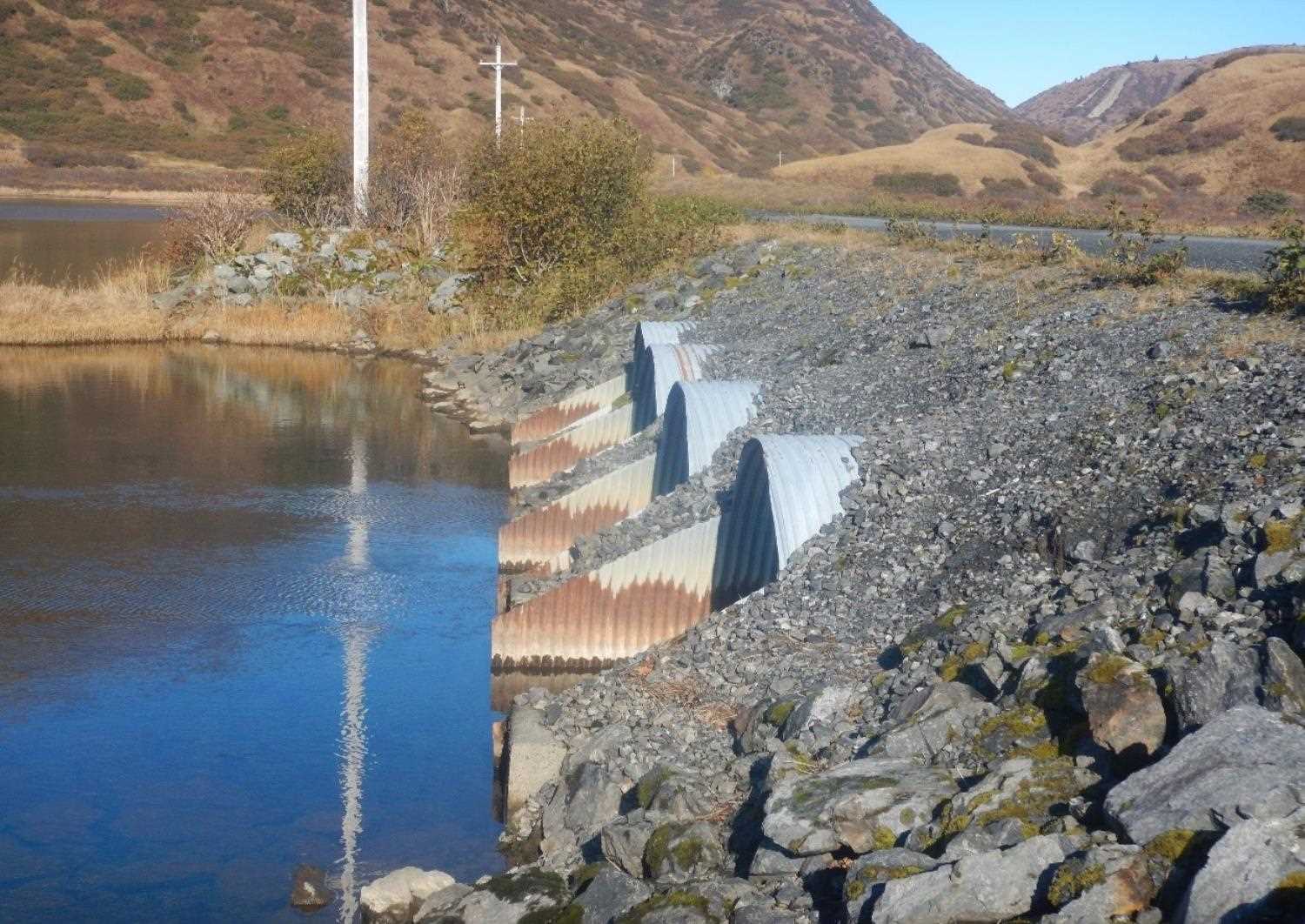
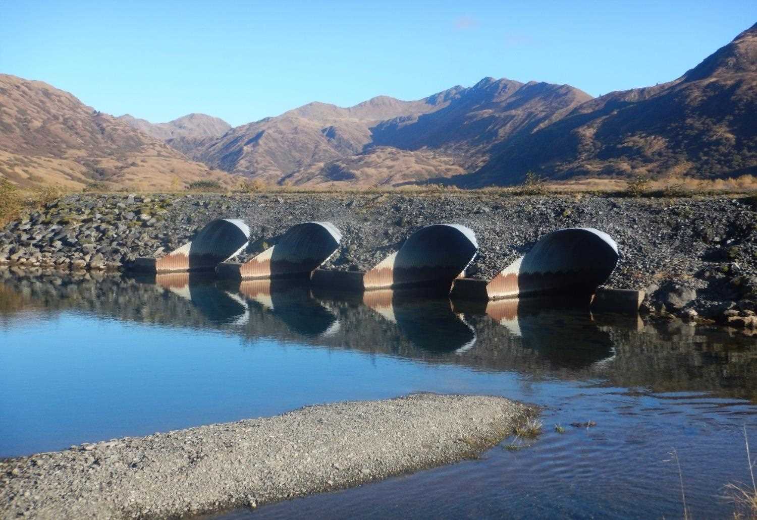
Comments: Information submitted by Will Frost (ADFG). Construction year from scheduled date on permit. Dimensions and information are estimated from FH 05-II-233. Four new 8' culverts were installed that replaced the four 6' culverts.
Culvert Measurements
| ID: 1 | Structure Type: Circular pipe | Fish Passage Rating: | |||||||||||||||||||||||||||||||||||||||||
|
|
|
|||||||||||||||||||||||||||||||||||||||||
Comments: The new pipe under the pathway installed is estimated at H 96"x W 96" x L55. |
|||||||||||||||||||||||||||||||||||||||||||
Stream Measurements
|
|
No stream width data available.
Elevations
No elevation data available.
Fish Sampling Efforts
No fish sampling occurred during this survey.
Fish Observations
No fish observations occurred during this survey.
Photos
Questions or comments about this report can be directed to dfg.dsf.webmaster@alaska.gov