Fish Passage Site 20700852
Coordinates (dec. deg.): 57.71044°, -152.58708°
Legal Description: S028S020W31
Region: Southwest
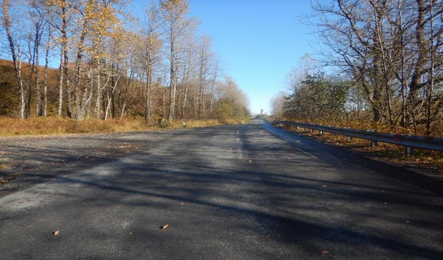
Road Name: Middle Bay Drive
Datum: WGS84
Quad Name / ITM: Kodiak C-2
AWC Stream #: 259-22-10020-2006
Stream Name: Lake Orbin Inlet
Elevation:
Site Comments: None
arrow to the right of the survey date below to choose a different report for this site.
Survey UPD20-MBD20
Project Supervisor: Gillian O'Doherty, Alaska Department of Fish and Game
— Anchorage, AK
Observers: Kim Clark, William Frost
Overall Fish Passage Rating:
Tidal:
Backwatered:
Step Pools:
Construction Year:
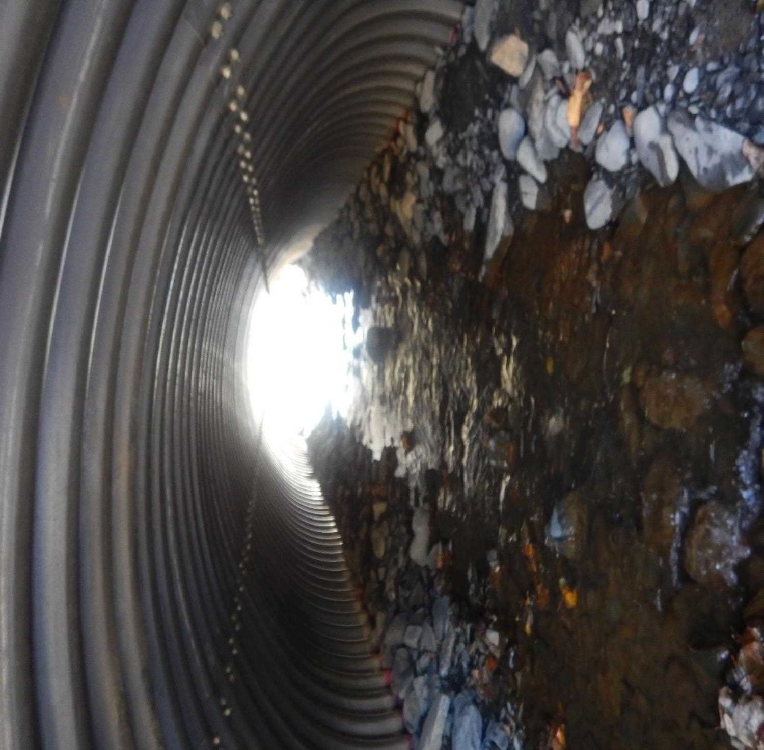
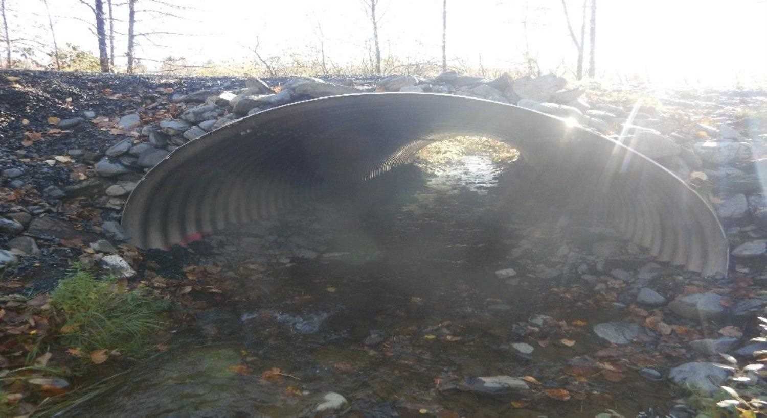
Comments: Submitted by Will Frost. Recently replaced. Dimensions are based off of FH19-II-0066 plans.
Culvert Measurements
| ID: 1 | Structure Type: Pipe-arch | Fish Passage Rating: | |||||||||||||||||||||||||||||||||||||||||
|
|
|
|||||||||||||||||||||||||||||||||||||||||
Comments: Estimated dimensions of Height, 6'10", Width, 10'9" and Length 45'. Material is aluminum. |
|||||||||||||||||||||||||||||||||||||||||||
Stream Measurements
|
|
No stream width data available.
Elevations
No elevation data available.
Fish Sampling Efforts
No fish sampling occurred during this survey.
Fish Observations
No fish observations occurred during this survey.
Photos


Questions or comments about this report can be directed to dfg.dsf.webmaster@alaska.gov