Fish Passage Site 20700848
Coordinates (dec. deg.): 57.80543°, -152.41088°
Legal Description: S027S019W30
Region: Southwest
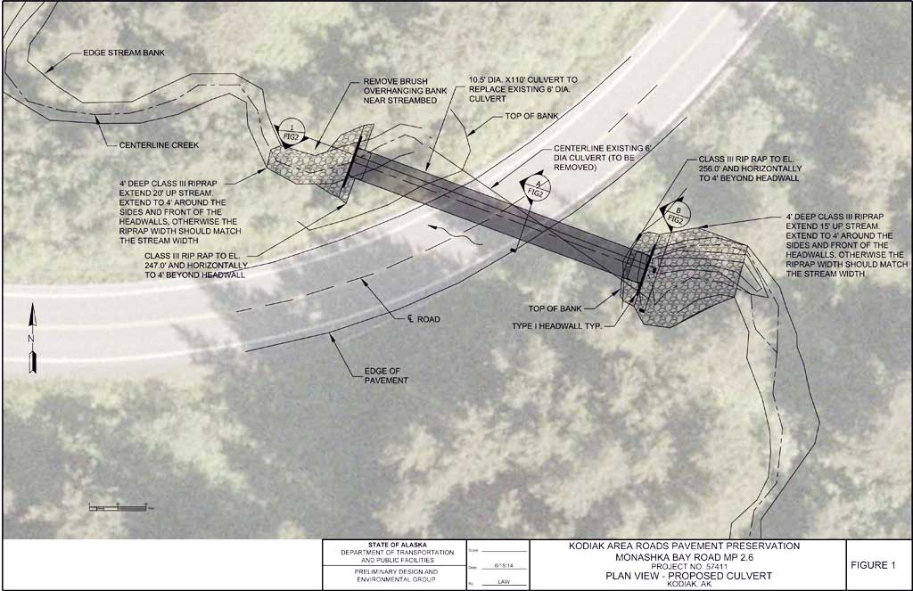
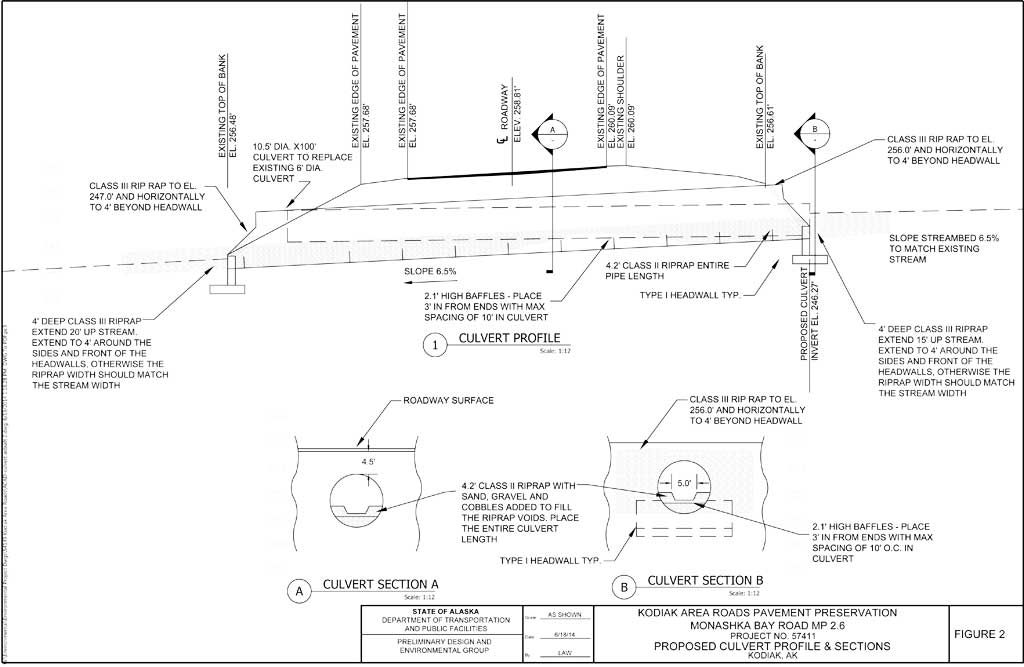
Road Name: Monashka Bay Road
Datum: WGS84
Quad Name / ITM: Kodiak D-2
AWC Stream #:
Stream Name:
Elevation:
Site Comments: None
arrow to the right of the survey date below to choose a different report for this site.
Survey UPDATE-MB05
Project Supervisor: Gillian O'Doherty, ADFG
Observers: William Frost
Overall Fish Passage Rating:
Tidal: No
Backwatered: No
Step Pools:
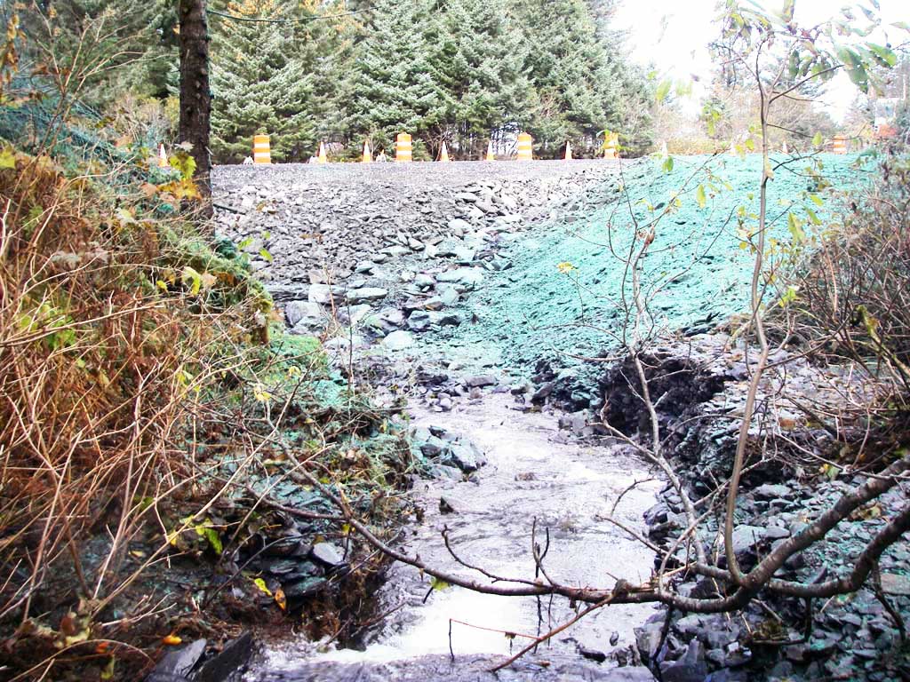
Construction Year: 2014
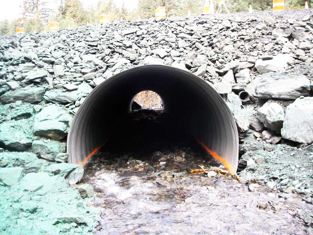
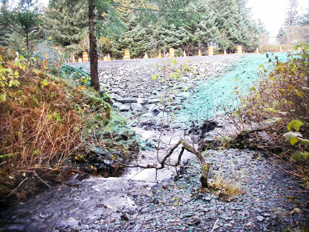
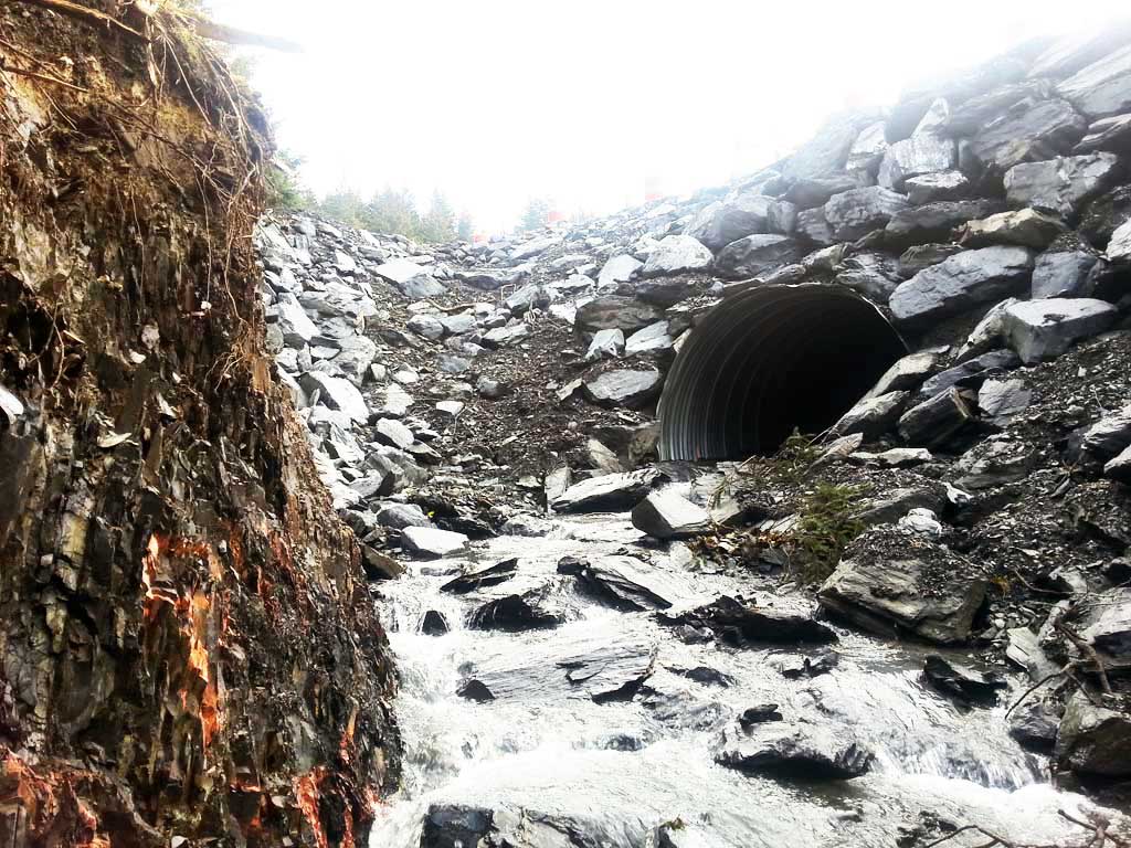
Comments: Site submitted by ADFG HB Will Frost. Site was replaced on or about October 8, 2014.
Culvert Measurements
| ID: 1 | Structure Type:N/A | Fish Passage Rating: | |||||||||||||||||||||||||||||||||||||||||
|
|
|
|||||||||||||||||||||||||||||||||||||||||
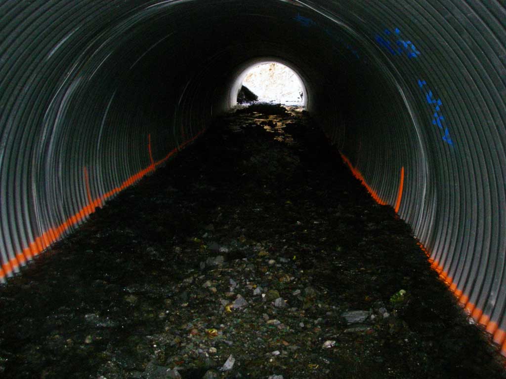
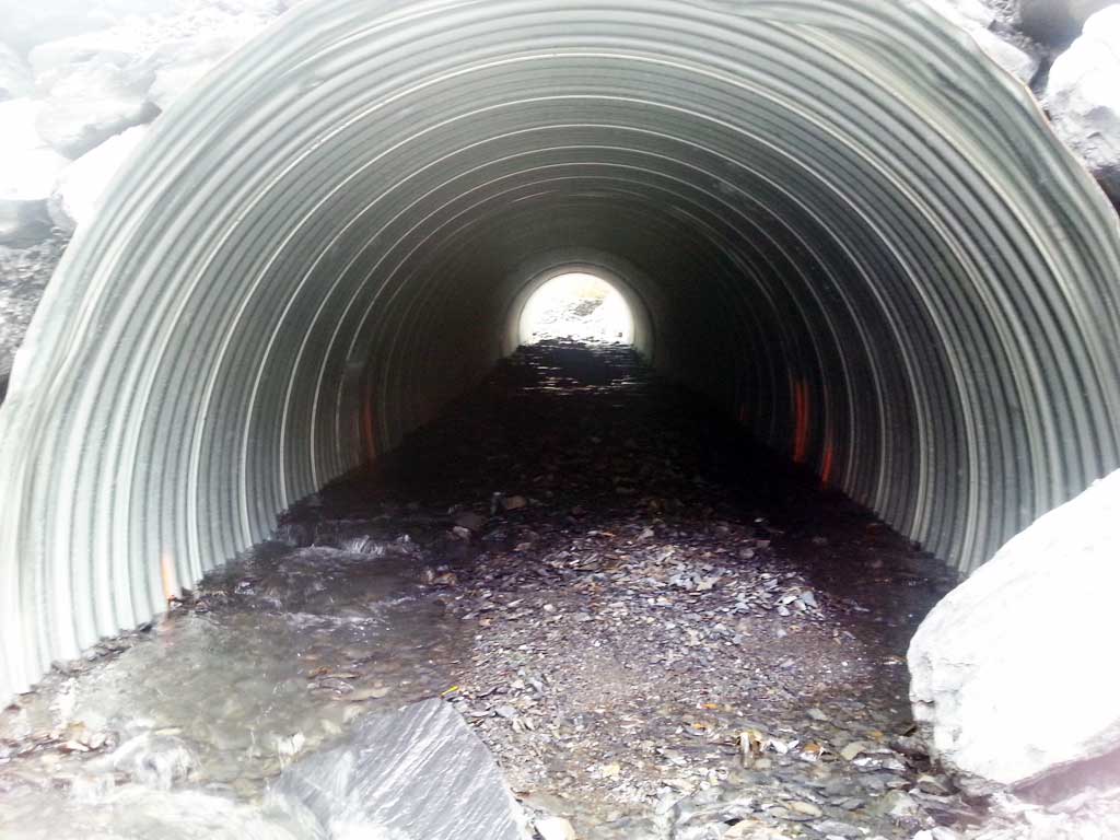
Comments: Culvert measurements are estimated and based on plans for the culvert replacement. Plans called for baffles inside the culvert to hold bedding material and not for fish passage. Culvert width 10,5 ft. Culvert height 6.3 ft. Substrate depth 4.2 ft. Culvert length 100 ft. |
|||||||||||||||||||||||||||||||||||||||||||
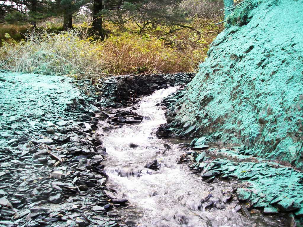
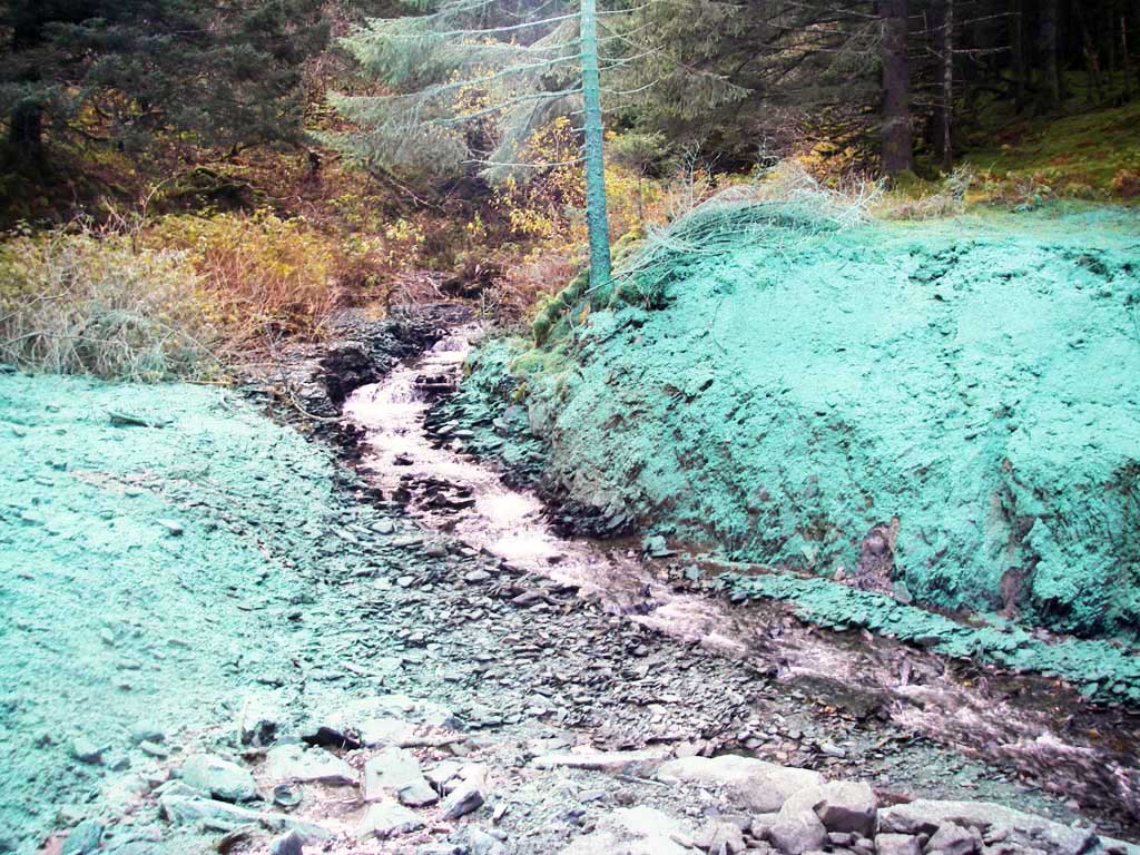
Stream Measurements
|
|
No stream width data available.
Elevations
No elevation data available.
Fish Sampling Efforts
No fish sampling occurred during this survey.
Fish Observations
No fish observations occurred during this survey.
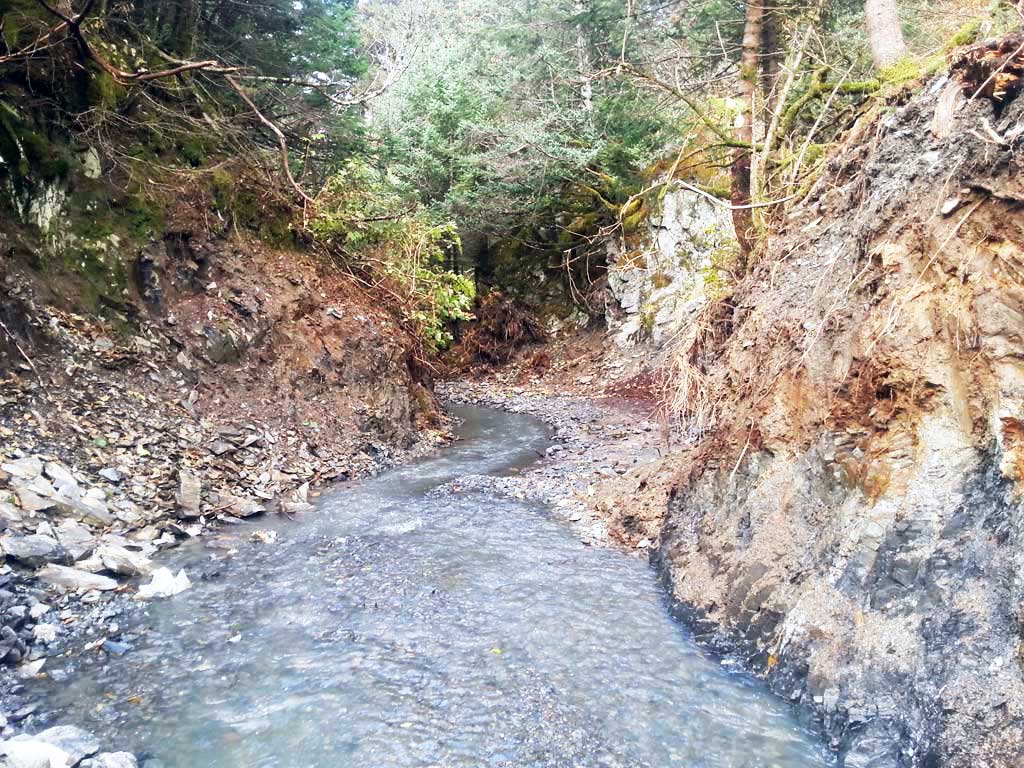
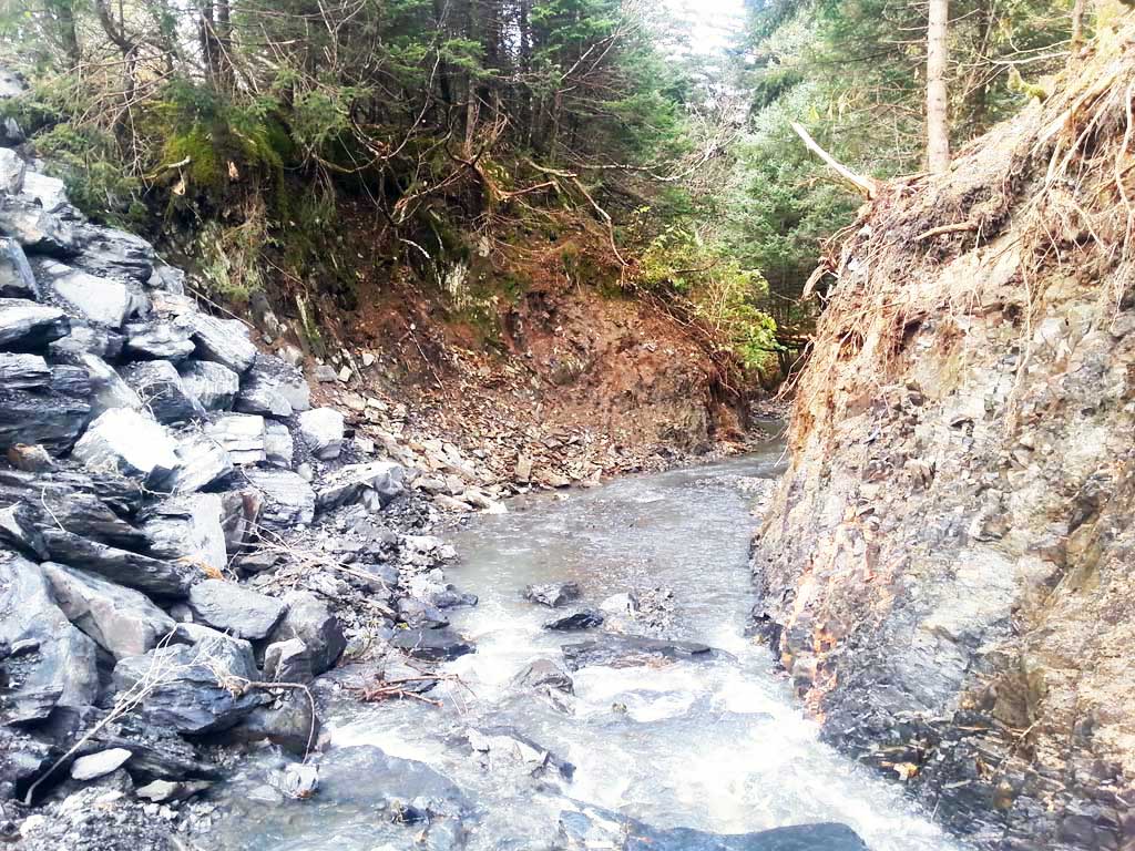
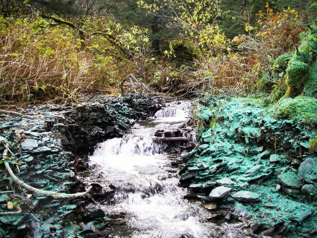
Photos

Questions or comments about this report can be directed to dfg.dsf.webmaster@alaska.gov