Fish Passage Site 20700836
Coordinates (dec. deg.): 57.71169°, -152.56556°
Legal Description: S028S020W32
Region: Southwest
Road Name: Chiniak Highway
Datum: WGS84
Quad Name / ITM: Kodiak C-2
AWC Stream #:
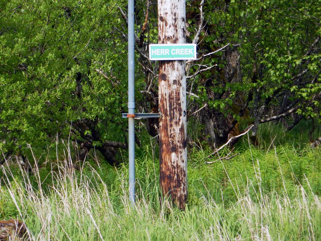
Stream Name:
Elevation:
Site Comments: **REPLACED since survey** Located at MP 9.6. Replaced in 2020.
arrow to the right of the survey date below to choose a different report for this site.
Survey UPDATE-21
Project Supervisor: Gillian O'Doherty, ADFG
Observers: Gillian O'Doherty
Overall Fish Passage Rating:
Tidal:
Backwatered: No
Step Pools:
Construction Year:
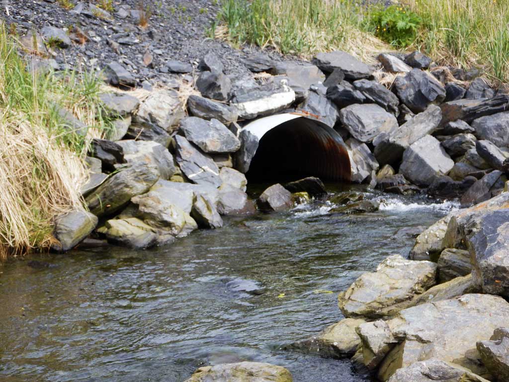
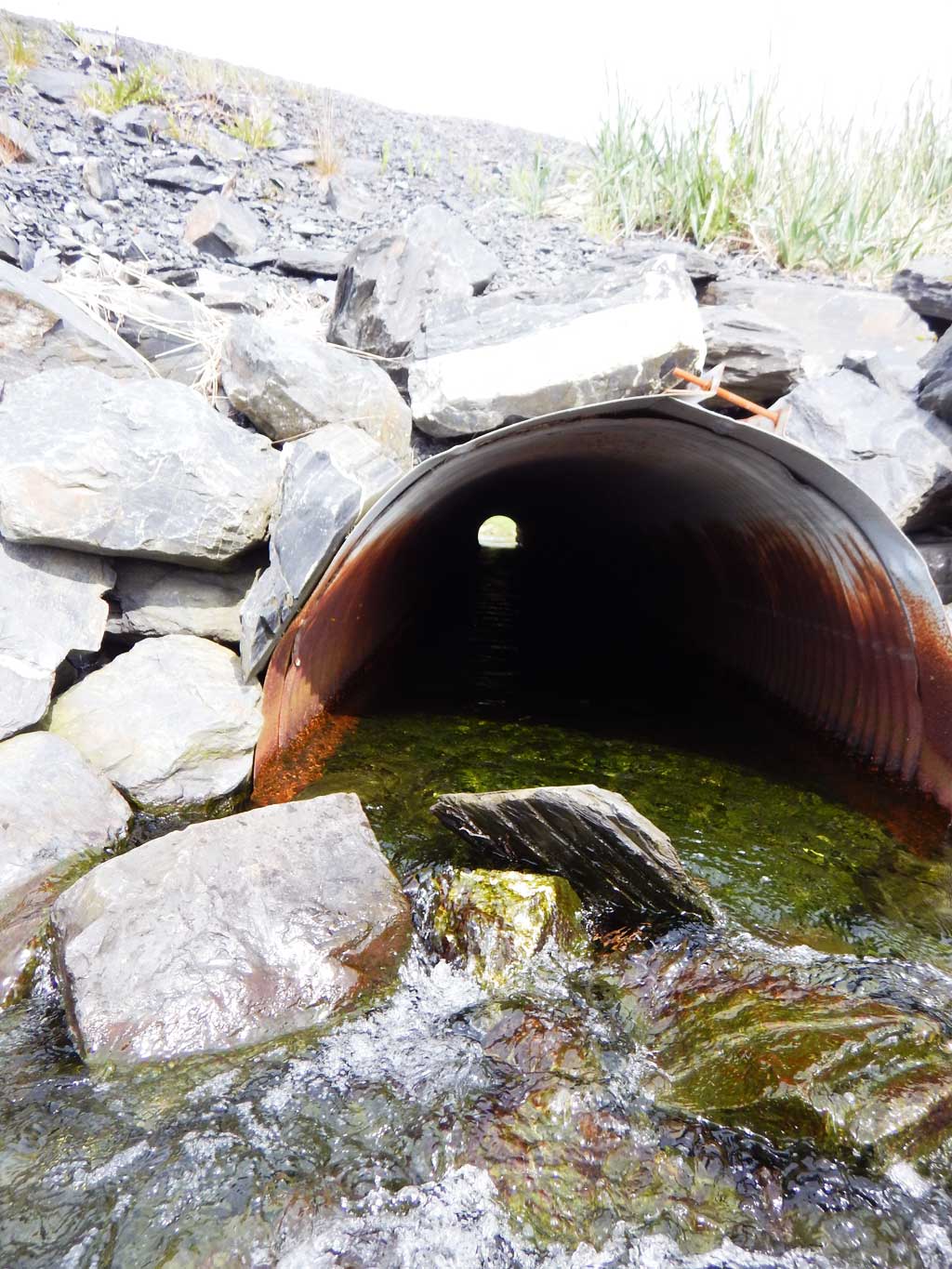
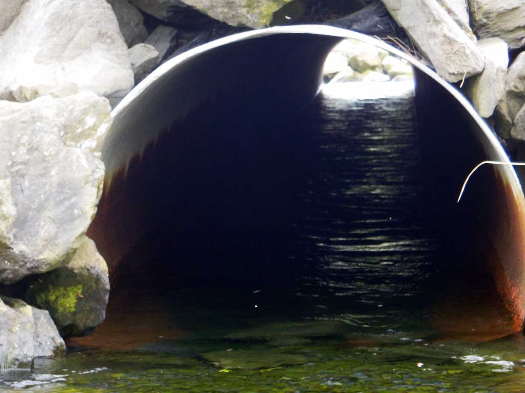
Comments: **REPLACED- not resurveyed** New photos courtesy of Will Frost ADFG Habitat. Permits show the culvert was an emergency in-kind replacement.
Culvert Measurements
| ID: 1 | Structure Type: Circular pipe (Corrugated steel) | Fish Passage Rating: | |||||||||||||||||||||||||||||||||||||||||
|
|
|
|||||||||||||||||||||||||||||||||||||||||
Comments: Culvert dimensions estimated from habitat permits and have not been field verified. Cuvlert width 4 ft. Culvert height 4ft. |
|||||||||||||||||||||||||||||||||||||||||||
Stream Measurements
|
|
No stream width data available.
Elevations
No elevation data available.
Fish Sampling Efforts
No fish sampling occurred during this survey.
Fish Observations
No fish observations occurred during this survey.
Photos

Questions or comments about this report can be directed to dfg.dsf.webmaster@alaska.gov