Fish Passage Site 20700787
Coordinates (dec. deg.): 57.78261°, -152.57418°
Legal Description: S028S020W06
Region: Southwest
Road Name: Anton Larsen Bay Road
Datum: WGS84
Quad Name / ITM: Kodiak D-2
AWC Stream #: 259-21-10120-2020-3006
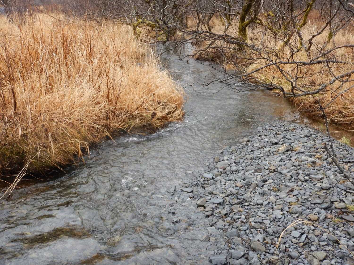
Stream Name: Unnamed
Elevation:
Site Comments: MP 3.5
arrow to the right of the survey date below to choose a different report for this site.
Survey UPDATE-0787
Project Supervisor: Gillian O'Doherty, ADFG
Observers: William Frost
Overall Fish Passage Rating:
Tidal: No
Backwatered:
Step Pools:
Construction Year: 2010
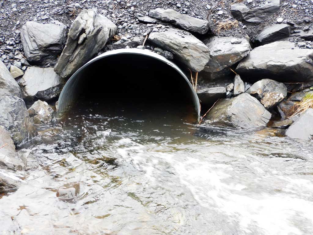
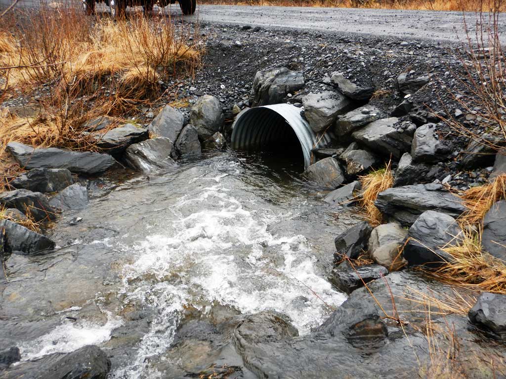
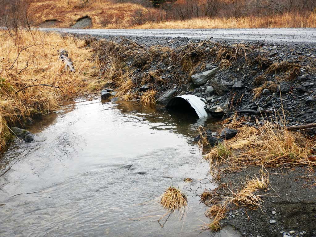
Comments: Culvert has been replaced and a needs to be resurveyed.
Culvert Measurements
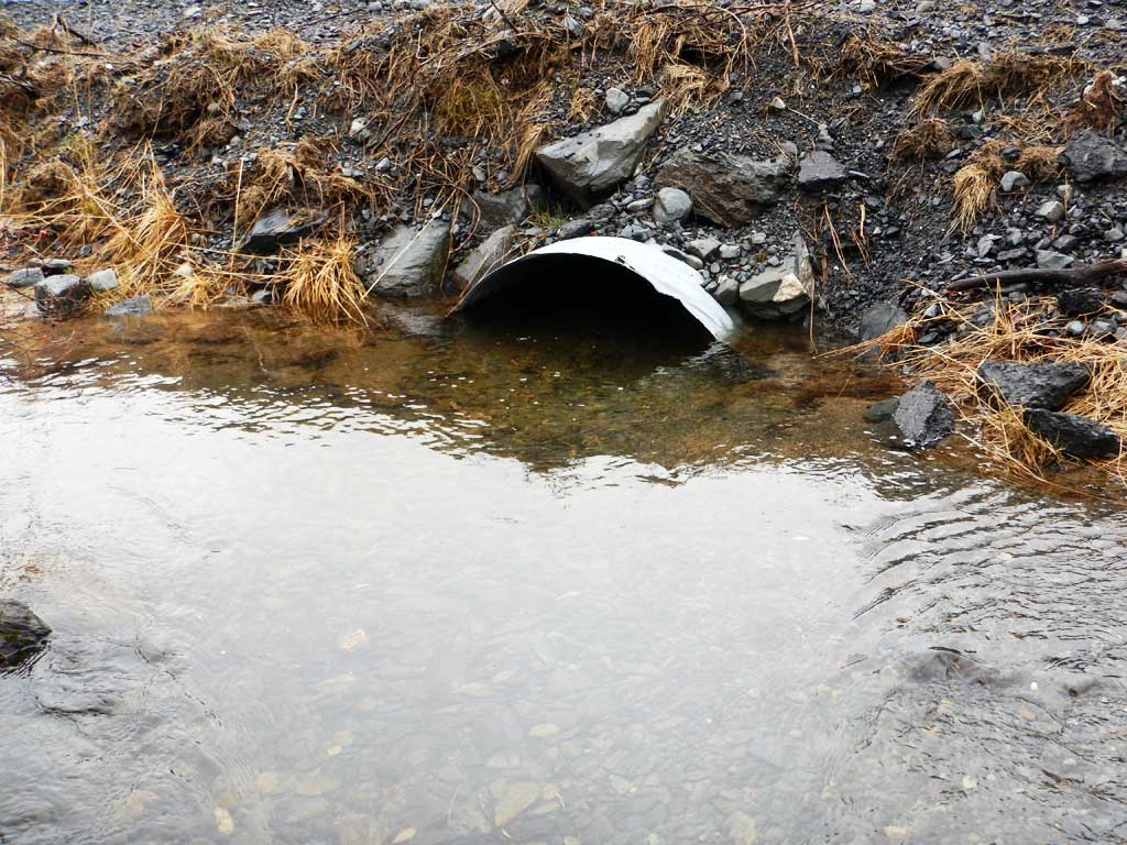
| ID: 1 | Structure Type: Circular pipe (Corrugated steel) | Fish Passage Rating: | |||||||||||||||||||||||||||||||||||||||||
|
|
|
|||||||||||||||||||||||||||||||||||||||||
Comments: All measurements and slope taken from habitat permit and have not been verified by project staff. Culvert width 3.5 ft. Culvert height 2.5 ft to top of substrate, substrate depth 1 ft. Culvert length 40 ft. Culvert gradient 1.74%. |
|||||||||||||||||||||||||||||||||||||||||||
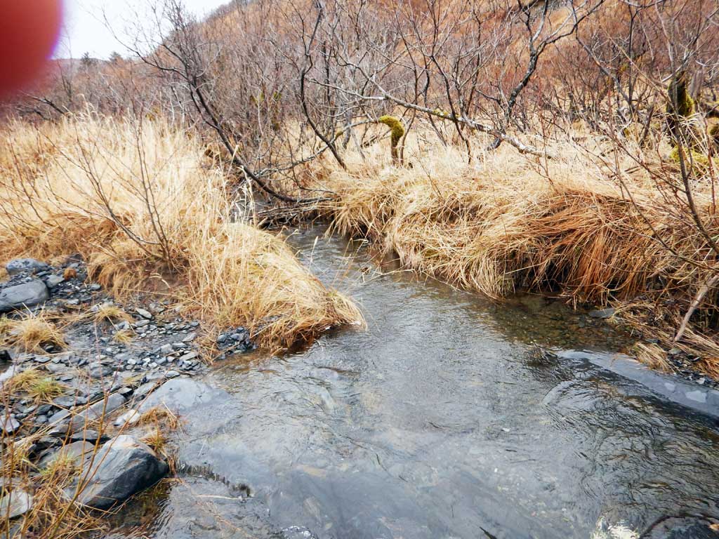
Stream Measurements
|
|
No stream width data available.
Elevations
No elevation data available.
Fish Sampling Efforts
No fish sampling occurred during this survey.
Fish Observations
No fish observations occurred during this survey.
Photos
Questions or comments about this report can be directed to dfg.dsf.webmaster@alaska.gov