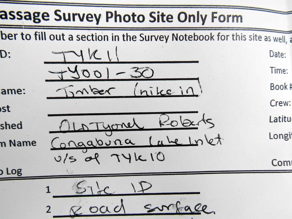
Fish Passage Site 20603495
Coordinates (dec. deg.): 61.08452°, -151.43447°
Legal Description: S012N012W32
Region: South Central
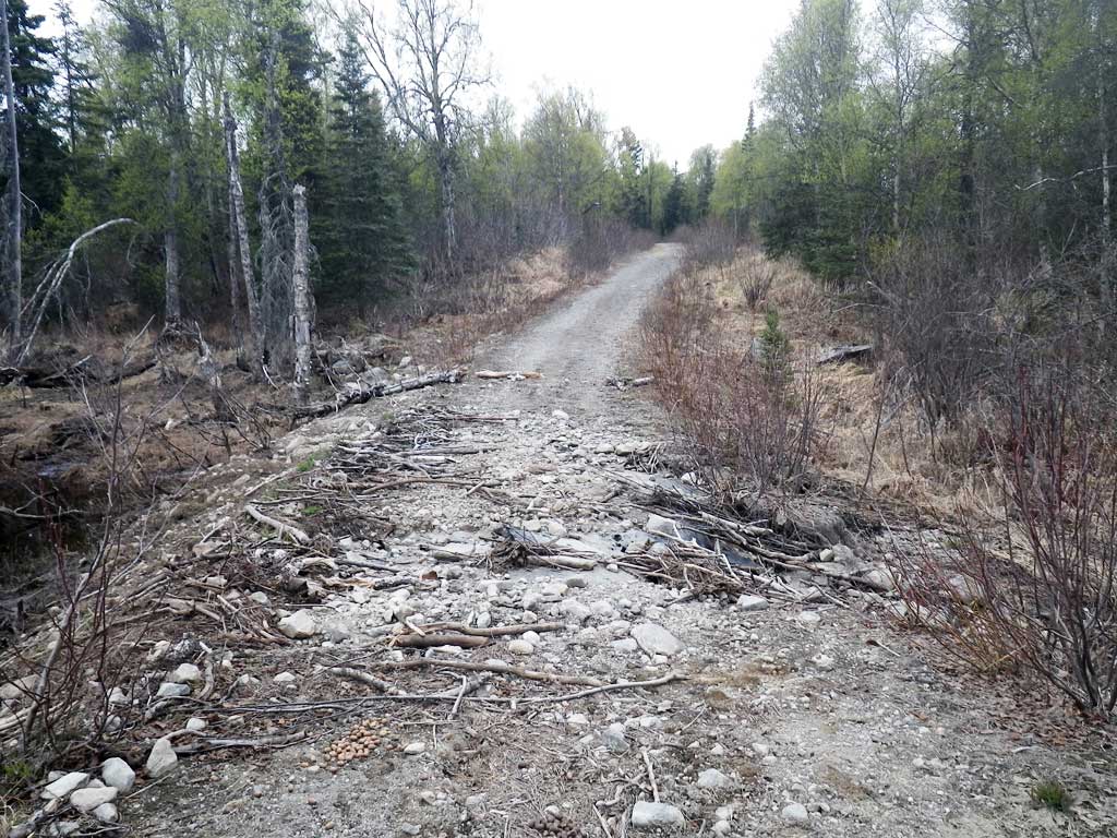
Road Name: Logging Road
Datum: NAD83
Quad Name / ITM: Tyonek A-4
AWC Stream #:
Stream Name: Congabuna Lake Inlet
Elevation:
Site Comments: Site is about one mile usptream from TYK10.
Survey UPDATE-TYK11
Project Supervisor: Gillian O'Doherty, ADFG
Observers: Gillian O'Doherty
Overall Fish Passage Rating:
Tidal: No
Backwatered: No
Step Pools: No
Construction Year:
Site Observations:
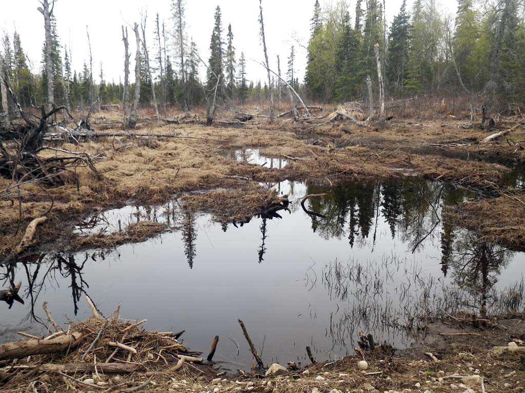
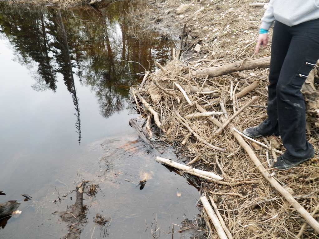
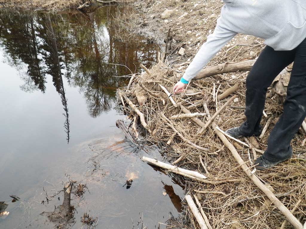
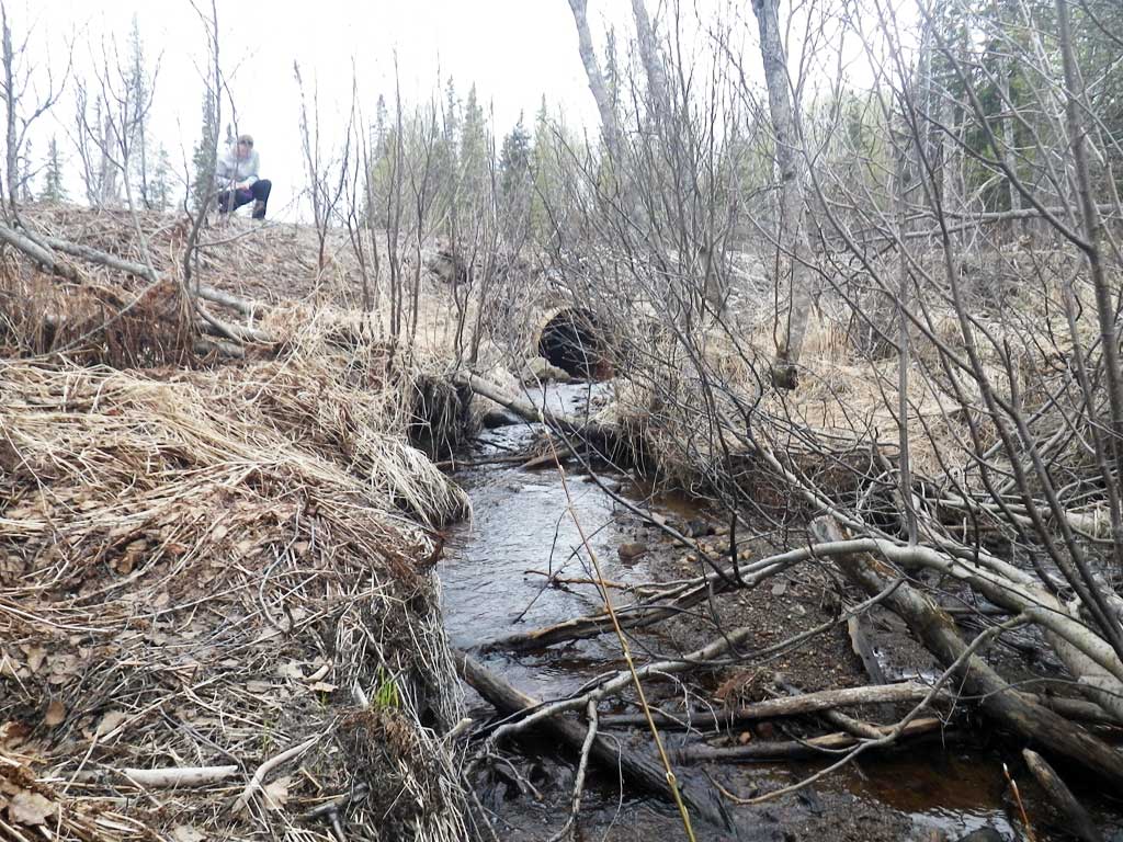
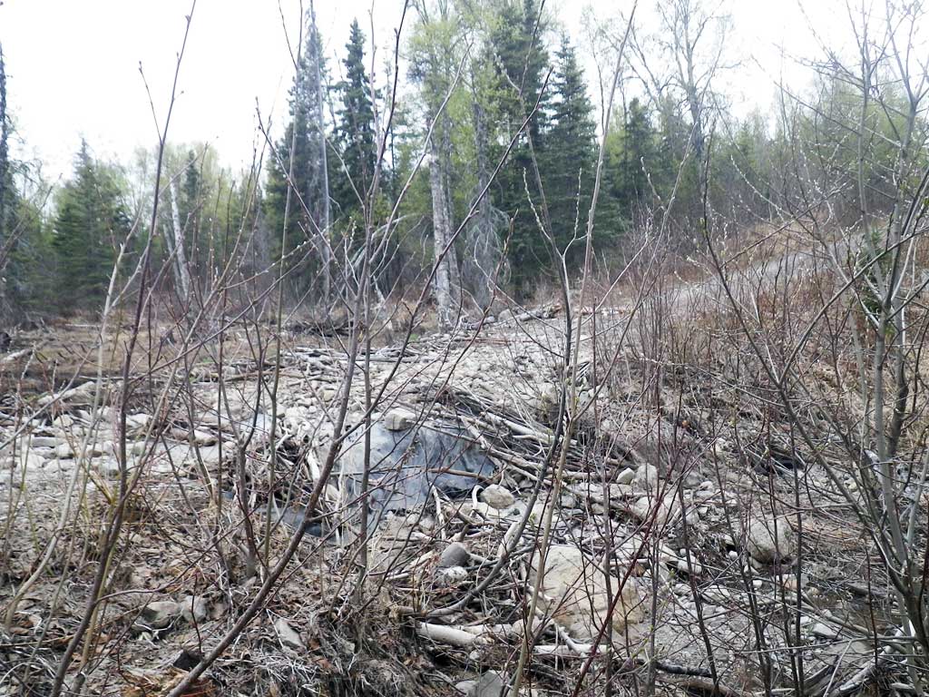
- Beaver Activity
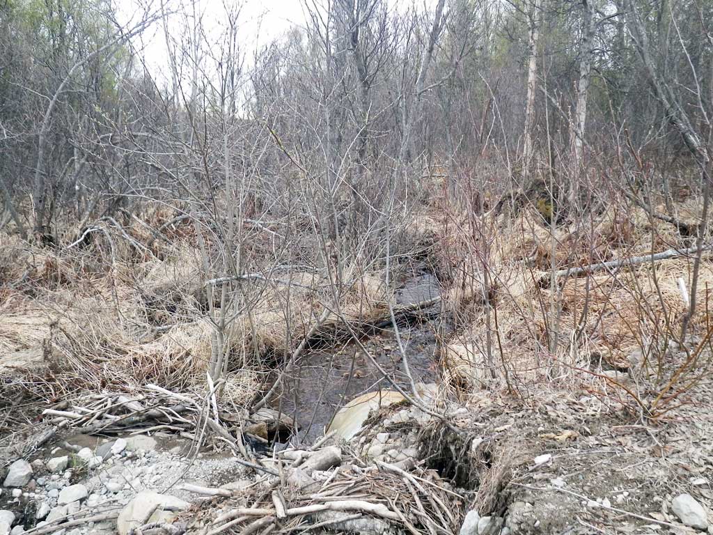
Comments: Had to hike into site as TYK10 was washed out and impassible. Road bed in pretty bad shape. Culvert blocked by beaver dam.
Culvert Measurements
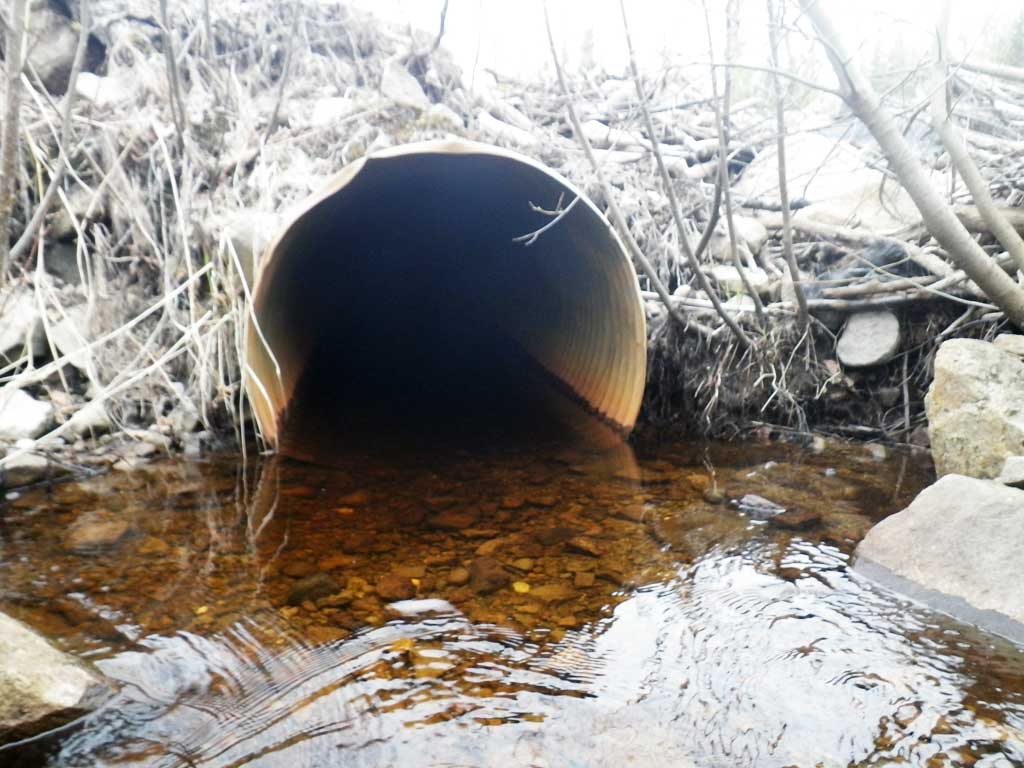
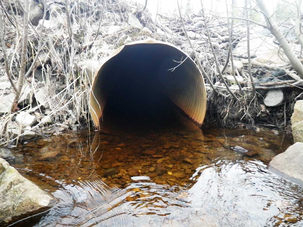
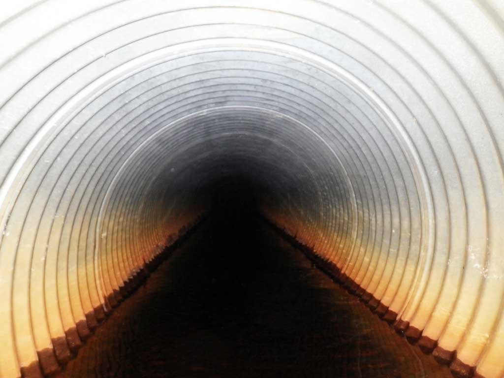
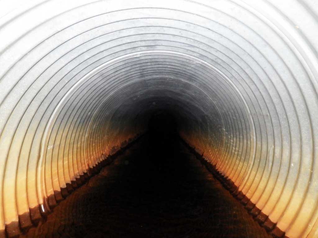
| ID: 1 | Structure Type: Circular pipe (Corrugated steel) | Fish Passage Rating: | |||||||||||||||||||||||||||||||||||||||||
|
|
|
|||||||||||||||||||||||||||||||||||||||||
Comments: Culvert plugged by beaver dam. |
|||||||||||||||||||||||||||||||||||||||||||
Culvert Observations:
|
|||||||||||||||||||||||||||||||||||||||||||
Stream Measurements
|
|
No stream width data available.
Elevations
No elevation data available.
Fish Sampling Efforts
No fish sampling occurred during this survey.
Fish Observations
No fish observations occurred during this survey.
Photos

Questions or comments about this report can be directed to dfg.dsf.webmaster@alaska.gov