Fish Passage Site 20603481
Coordinates (dec. deg.): 61.19243°, -151.02775°
Legal Description: S013N010W26
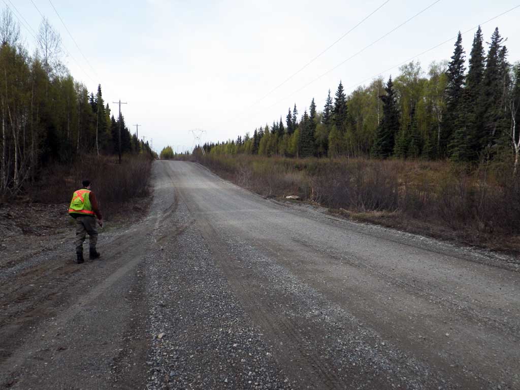
Region: South Central
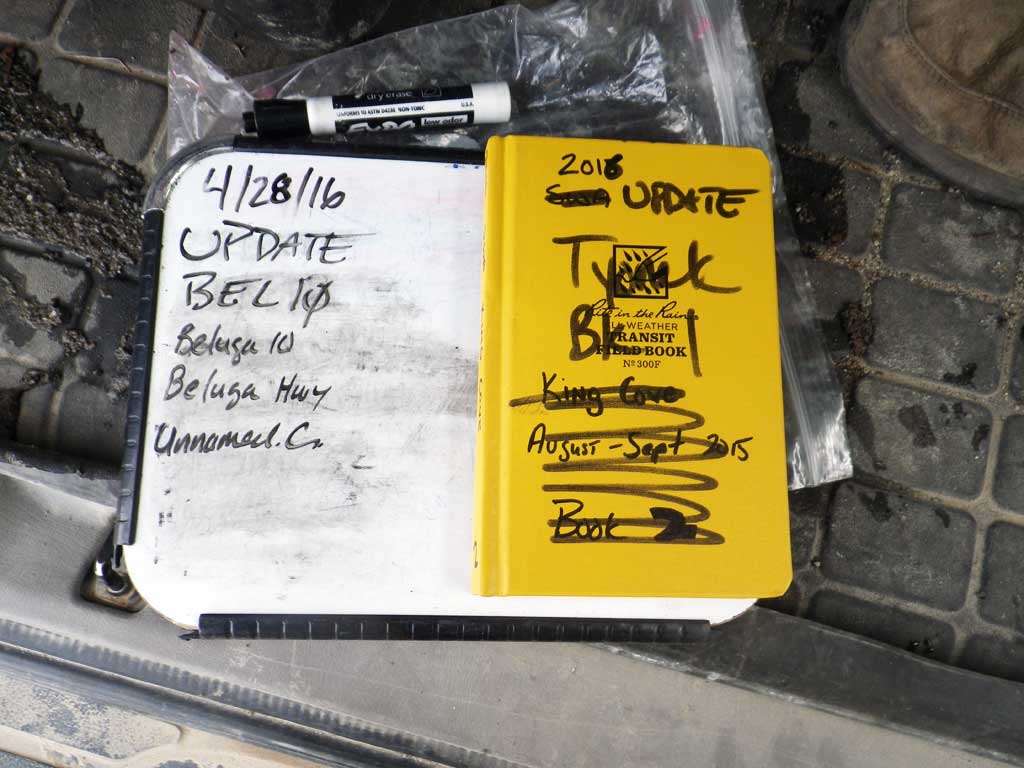
Road Name: Beluga Highway
Datum: NAD83
Quad Name / ITM: Tyonek A-3
AWC Stream #:
Stream Name: Unnamed
Elevation:
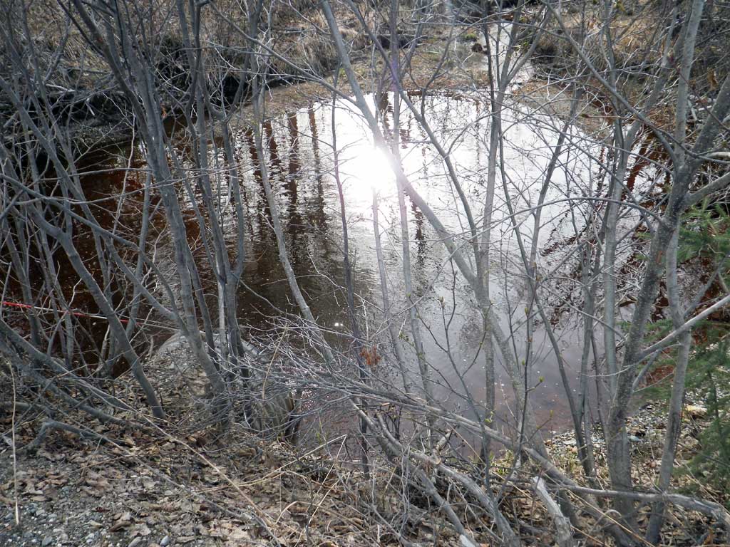
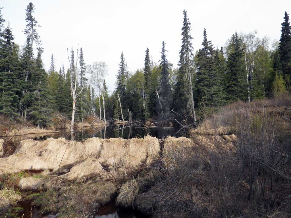
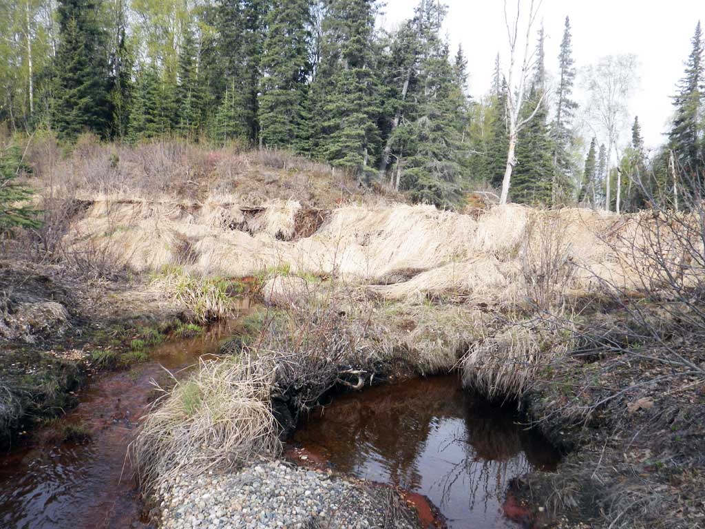
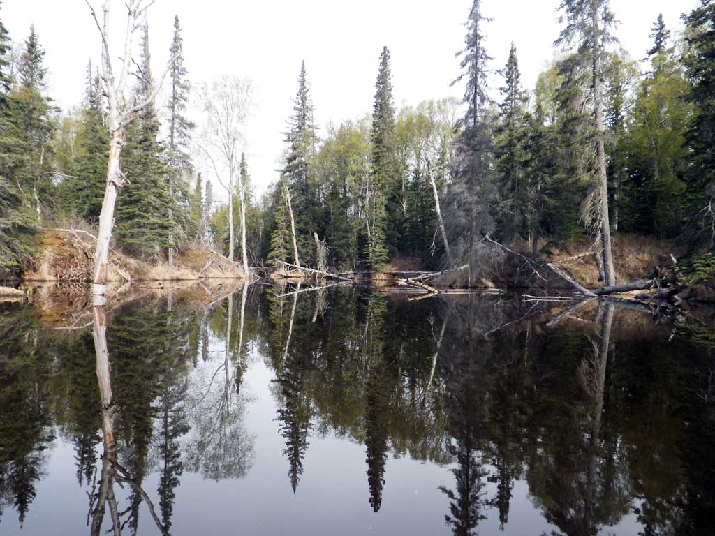
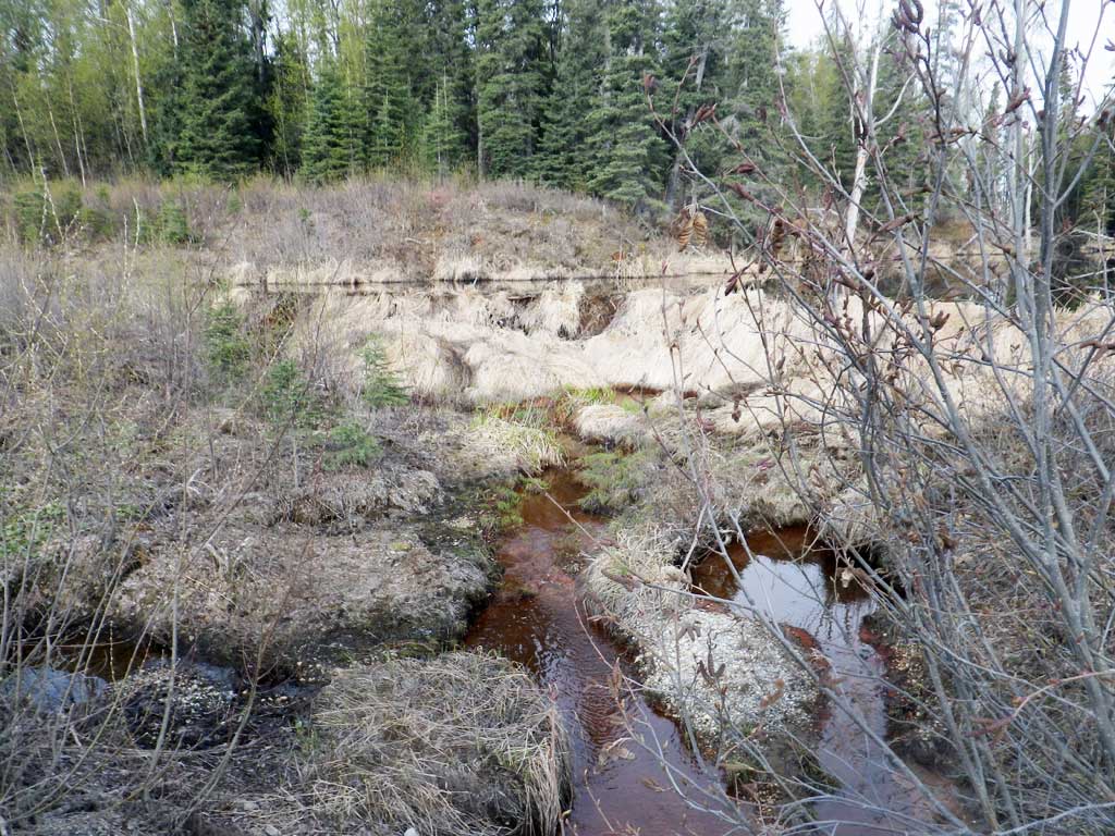
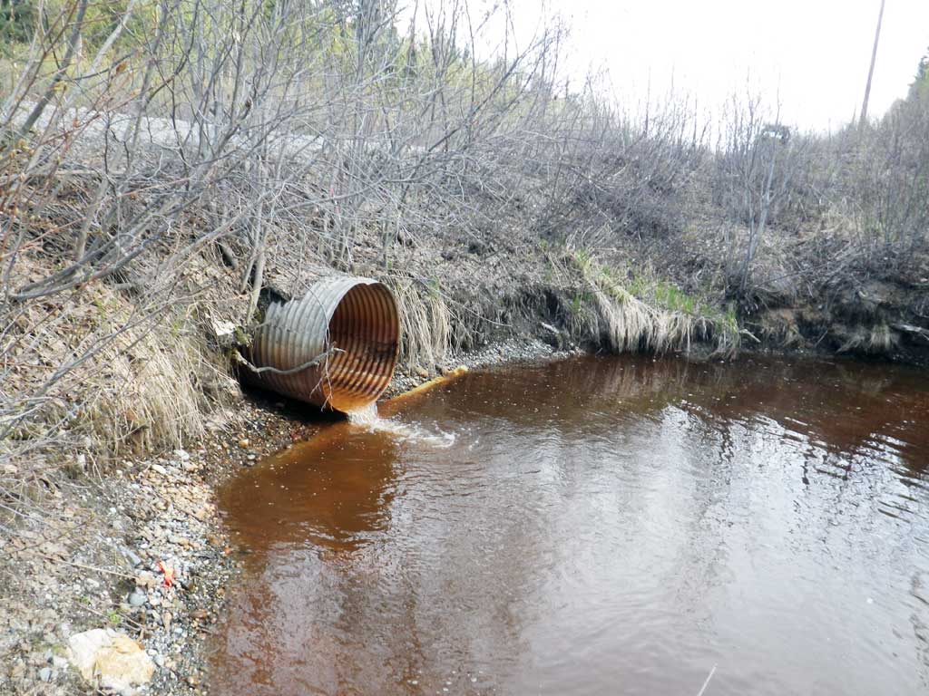
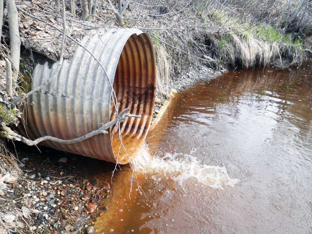
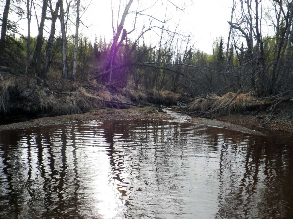
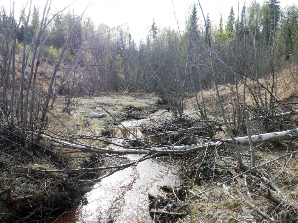
Site Comments: Creek is a tributary to AWC Stream 247-30-10120 "Powerhouse Creek"
Survey UPDATE-BEL10
Project Supervisor: Gillian O'Doherty, ADFG
Observers: Mark Eisenman, Robert Pype
Overall Fish Passage Rating:
Tidal: No
Backwatered: No
Step Pools: No
Construction Year:
Site Observations:
- Beaver Activity
- Outfall height gray
- Culvert gradient red
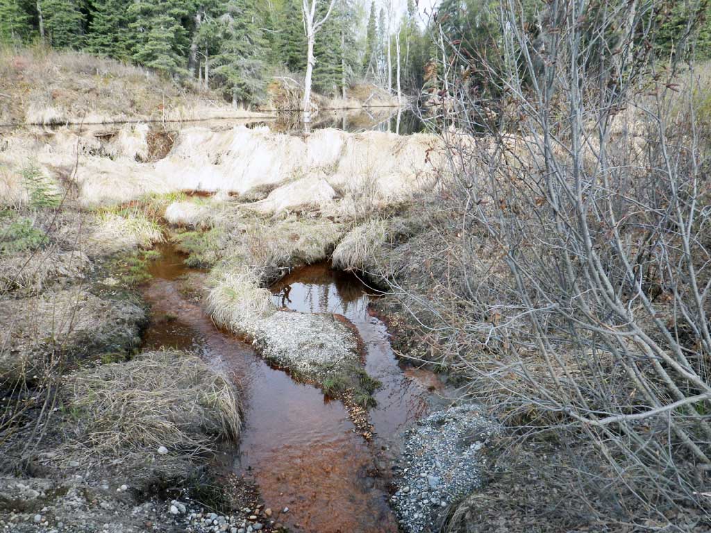
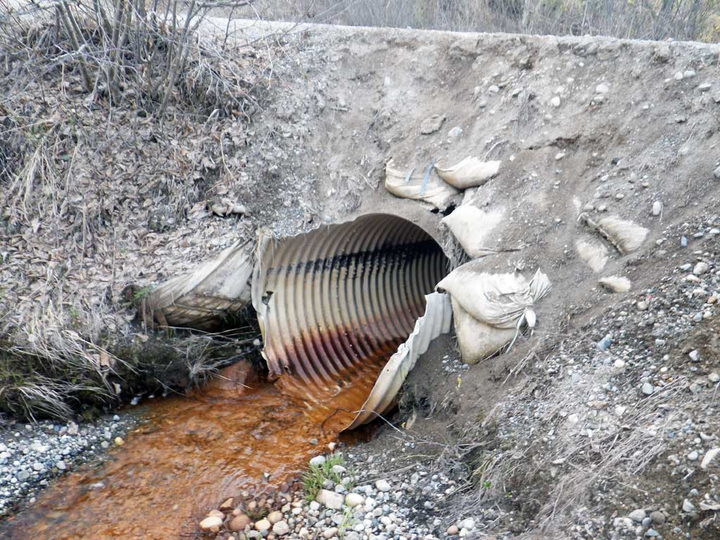
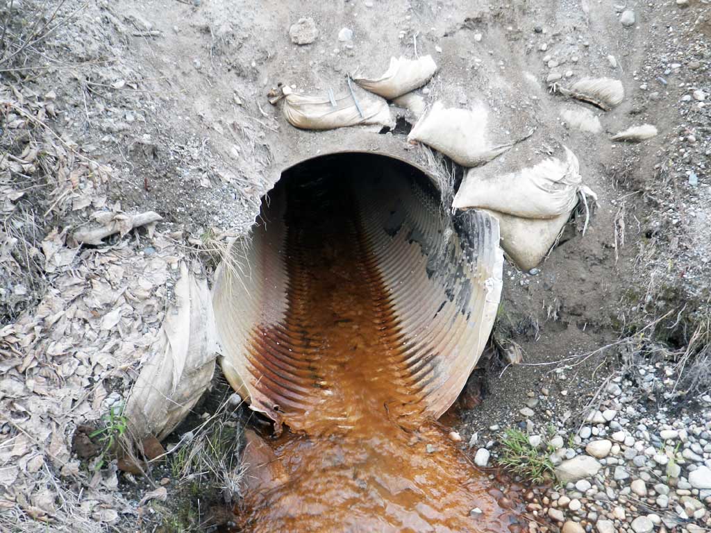
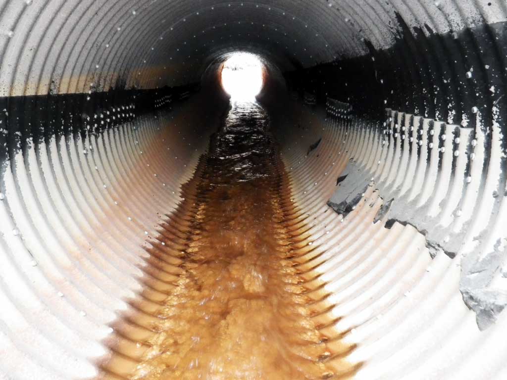
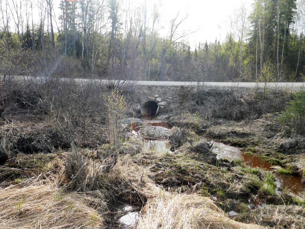
Comments: Water very ferric. Large beaver dam about 50 feet upstream from inlet. Outlet perched and sits right on top of gas pipeline. Satellite imagery shows about .1 mile of habitat above beaver dam.
Culvert Measurements
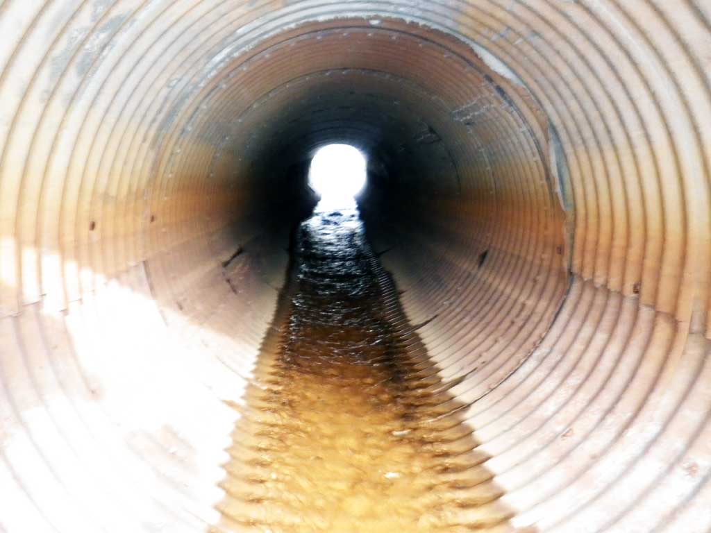
| ID: 1 | Structure Type: Circular pipe (Corrugated aluminum) | Fish Passage Rating: | |||||||||||||||||||||||||||||||||||||||||
|
|
|
|||||||||||||||||||||||||||||||||||||||||
Culvert Observations:
|
|||||||||||||||||||||||||||||||||||||||||||
Stream Measurements
|
|
No stream width data available.
Elevations
| Locator ID | Culvert Number |
River Distance (ft)1 |
Distance From Crossing (ft)2 |
Relative Elevation (ft) |
|---|---|---|---|---|
| Road Elev | 104.44 | |||
| D/S Tailcrest or 1st Thalweg | 0.00 | 95.84 | ||
| D/S Water Surface Elev | 0.00 | 96.05 | ||
| Outlet Pool Water Elev | 18.00 | 96.05 | ||
| Max Pool Depth | 18.00 | 92.63 | ||
| Outlet Culvert Top | 33.00 | 100.00 | ||
| Outlet Invert (On pipe) | 33.00 | 96.28 | ||
| D/S Water Surface Elev | 33.00 | 96.40 | ||
| Inlet Culvert Invert (On pipe) | 74.80 | 97.99 | ||
| U/S Water Surface Elev | 74.80 | 98.17 | ||
| Inlet Culvert Top | 74.80 | 101.36 | ||
| U/S Grade Ctrl (Thalweg) (1st resting) | 81.80 | 98.42 | ||
| U/S Water Surface Elev | 81.80 | 98.55 | ||
| U/S Water Surface Elev (Beaver pond water surface) | 128.80 | 104.90 | ||
| U/S Grade Ctrl (Thalweg) (Top of beaver dam) | 128.80 | 105.15 |
Notes:
- River distance is measured continuously throughout the survey reach along the thalweg of the stream.
- Measured from each end of the crossing along the thalweg of the stream.
Fish Sampling Efforts
| Gear Type: Minnow Trap (A) | Trap Duration(h): 20.0 | |
| Comments: Trap set about 50 feet downstream of outlet | ||
Fish Observations
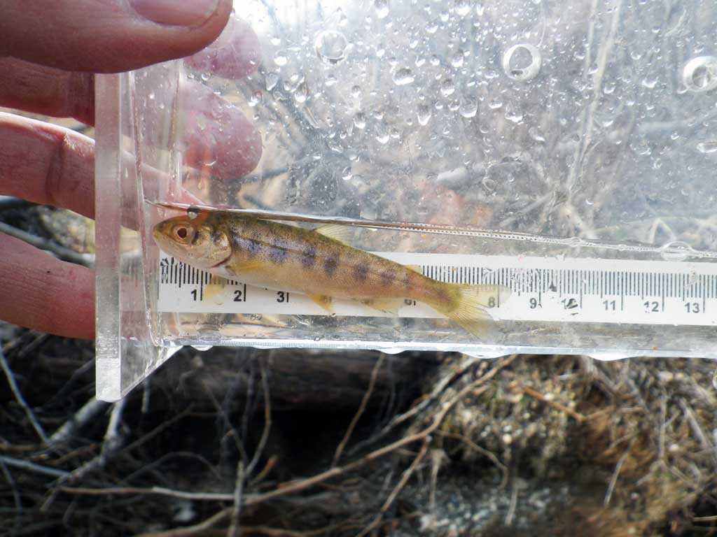
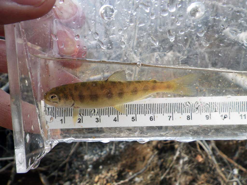
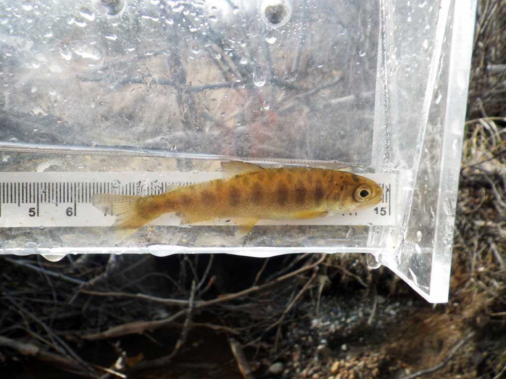
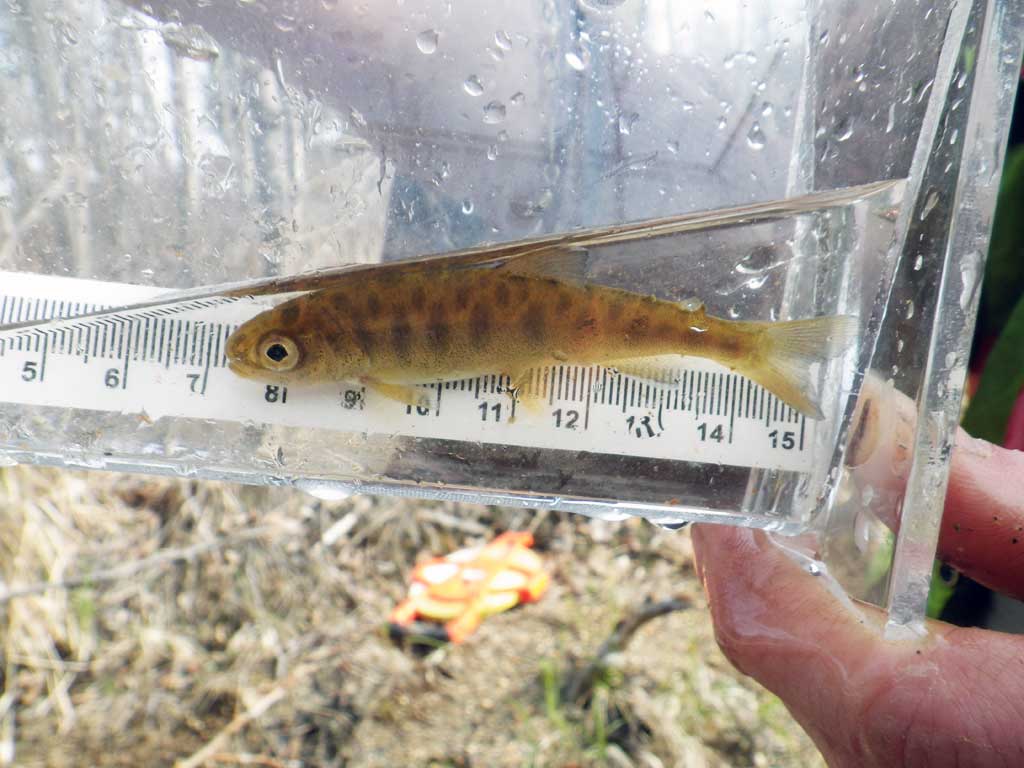
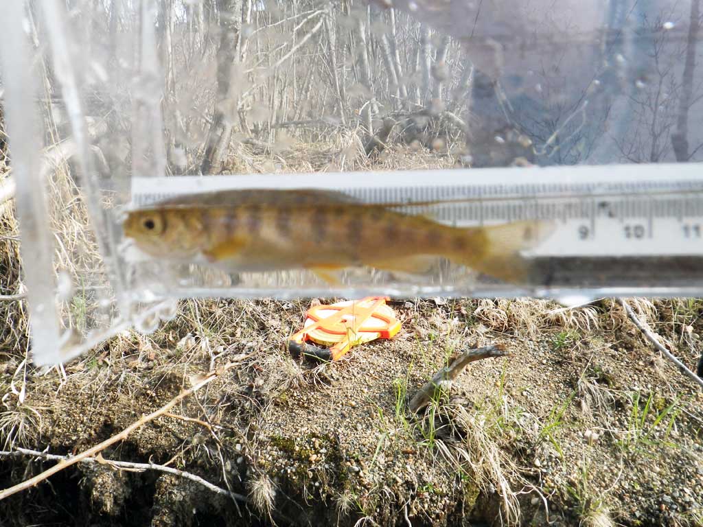
| Species: juvenile coho salmon | Life History: Anadromous | ||
| Total Fish Observed: 2 | Fish Measured: 2 | Fork Lengths (mm) Min: 74 Max: 75 Mean: 74 | |
| Collected/Observed by Gear Type: Downstream Minnow Trap (2) | |||
Photos

Questions or comments about this report can be directed to dfg.dsf.webmaster@alaska.gov