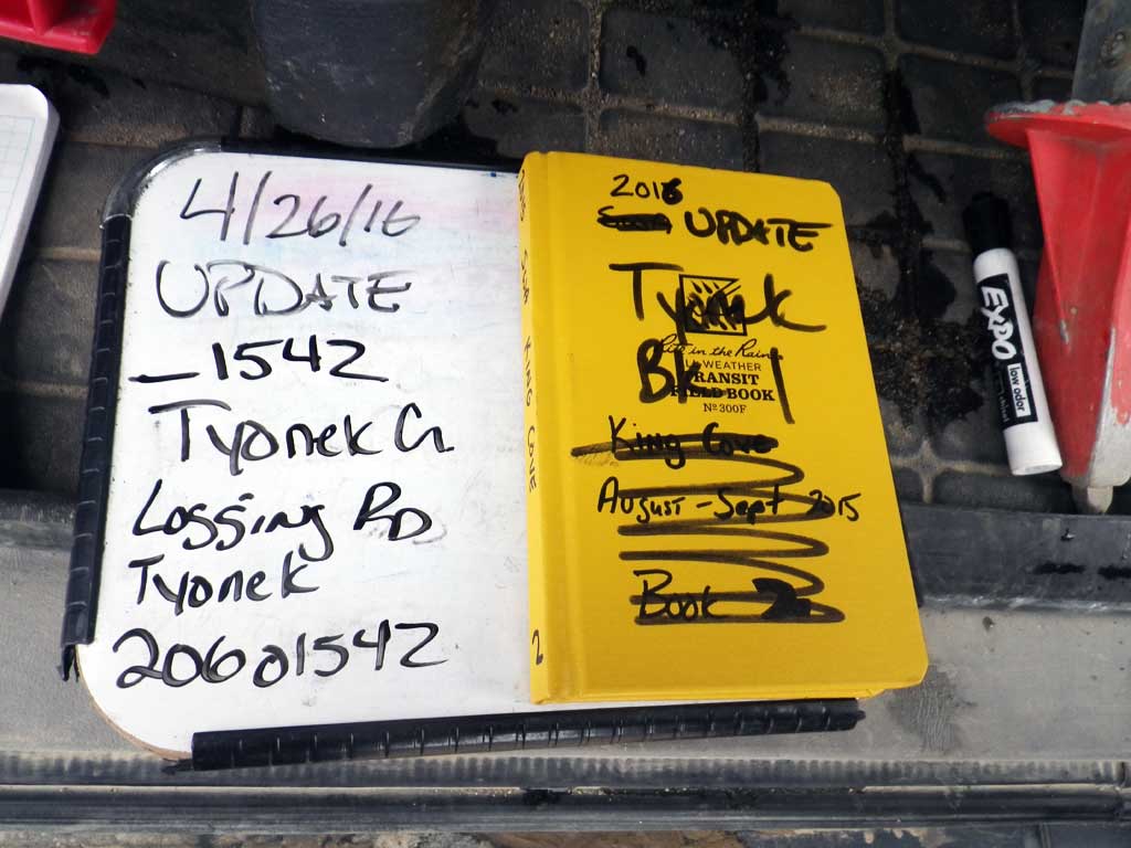
Fish Passage Site 20601542
Coordinates (dec. deg.): 61.07329°, -151.25336°
Legal Description: S011N011W05
Region: South Central
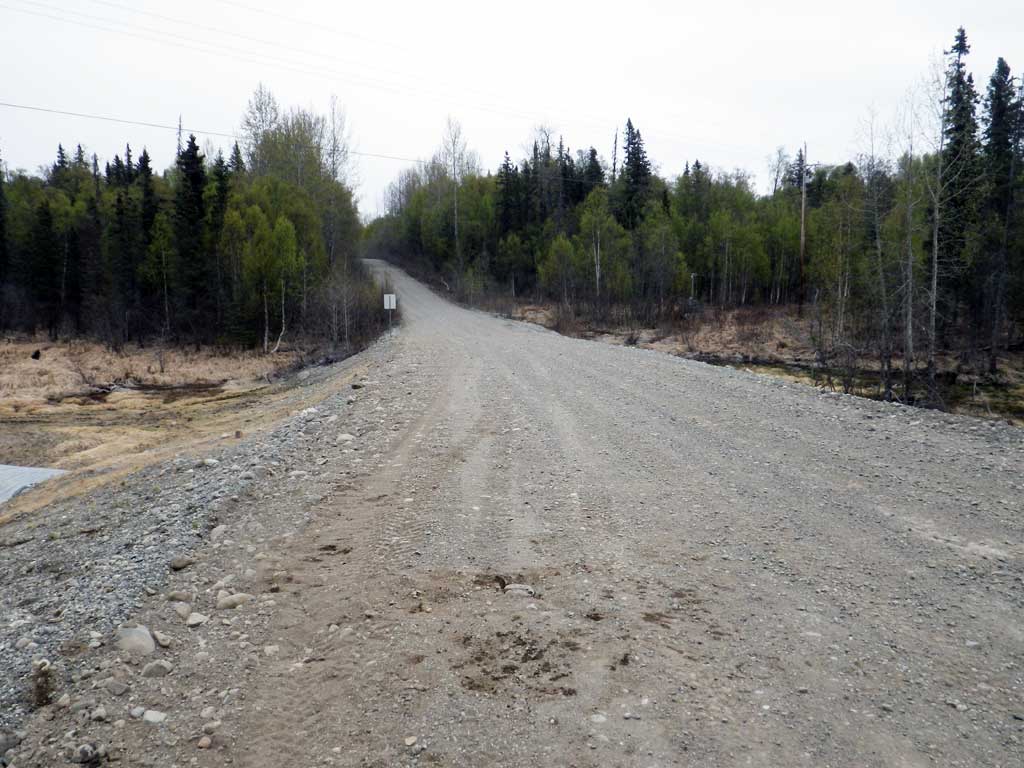
Road Name: Tyonek-Beluga Road
Datum: NAD83
Quad Name / ITM: Tyonek A-4
AWC Stream #:
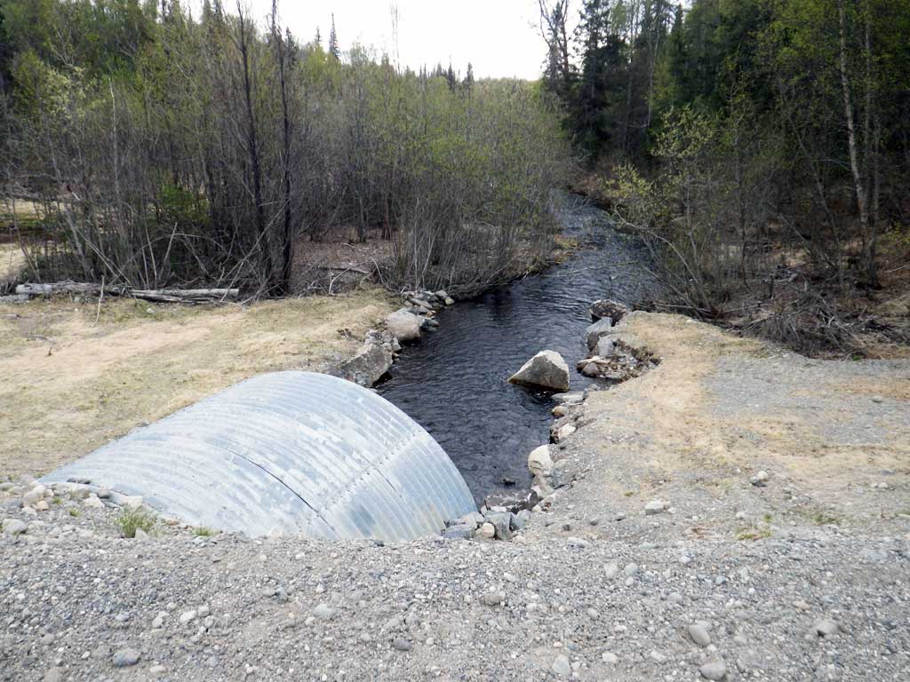
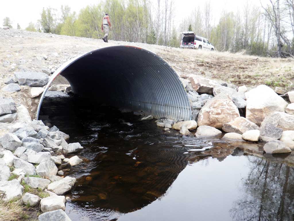
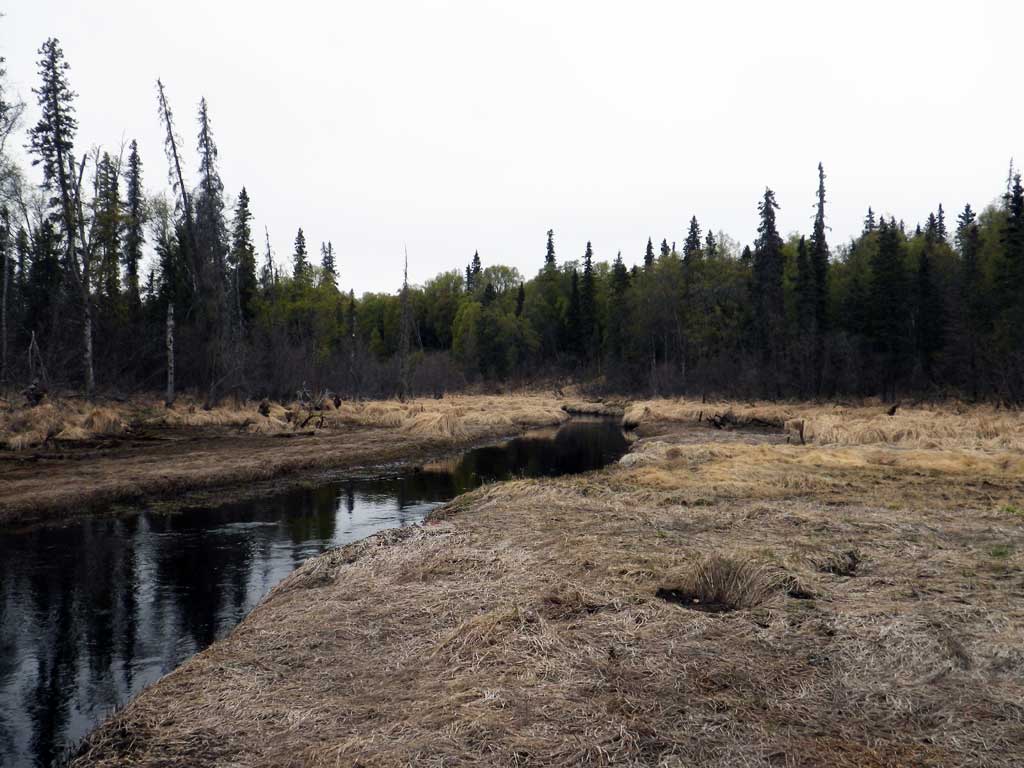
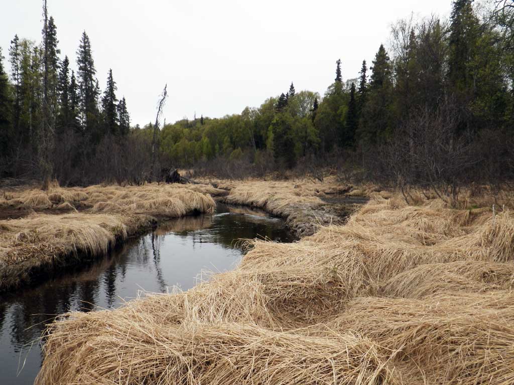
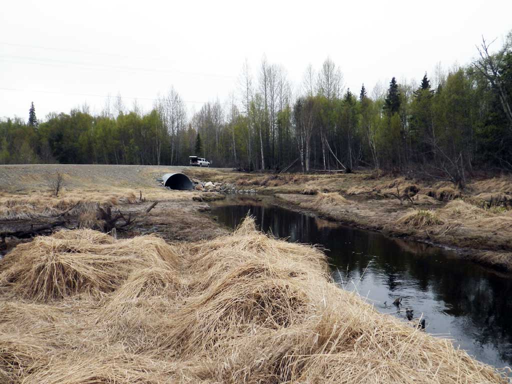
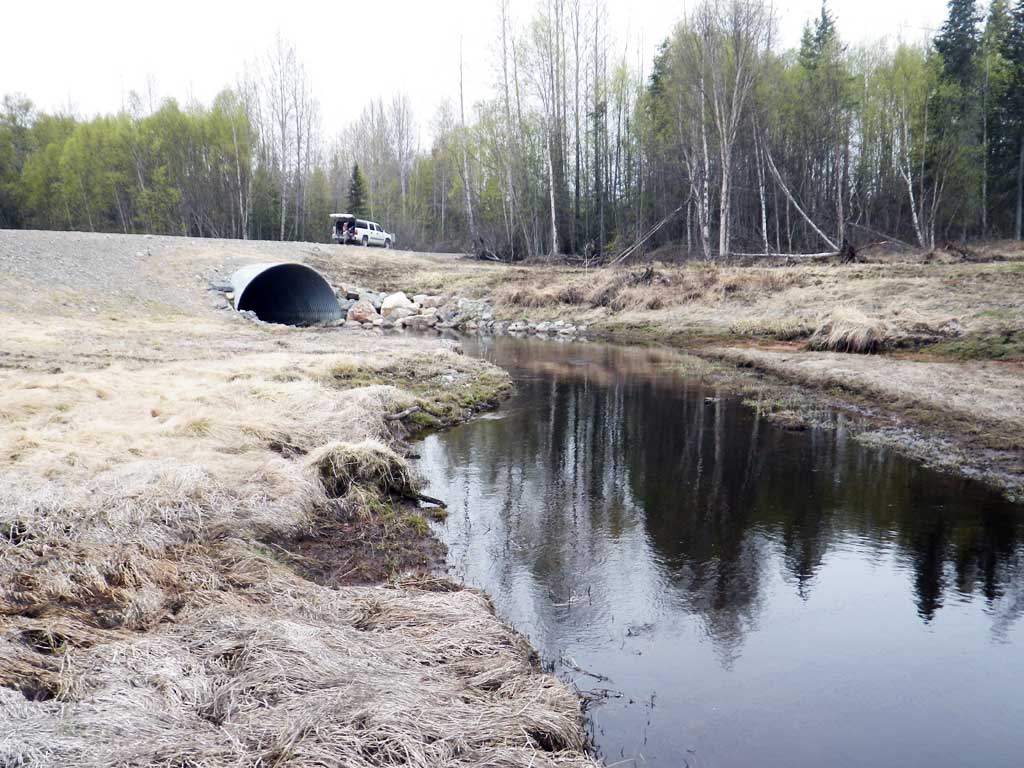
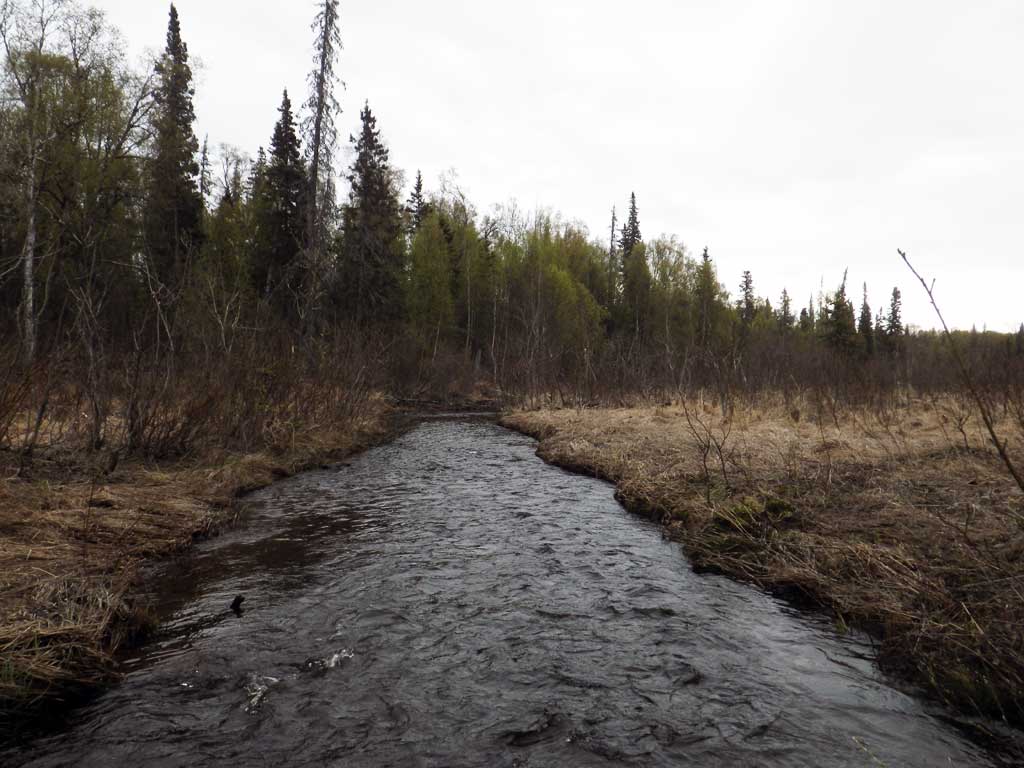
Stream Name: Tyonek Creek
Elevation:
Site Comments: None
arrow to the right of the survey date below to choose a different report for this site.
Survey UPDATE-1542
Project Supervisor: Gillian O'Doherty, ADFG
Observers: Mark Eisenman
Overall Fish Passage Rating:
Tidal: No
Backwatered: No
Step Pools: No
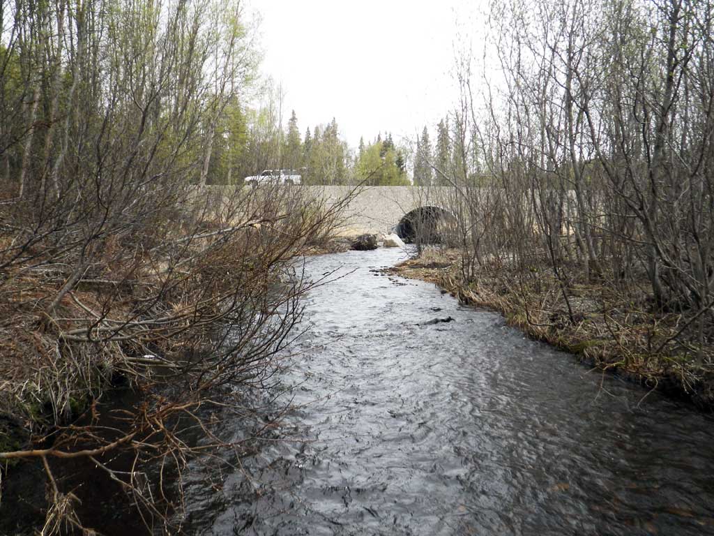
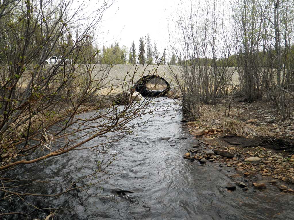
Construction Year: 2015
Site Observations:
- Culvert gradient gray
Comments: Post replacement survey.
Culvert Measurements
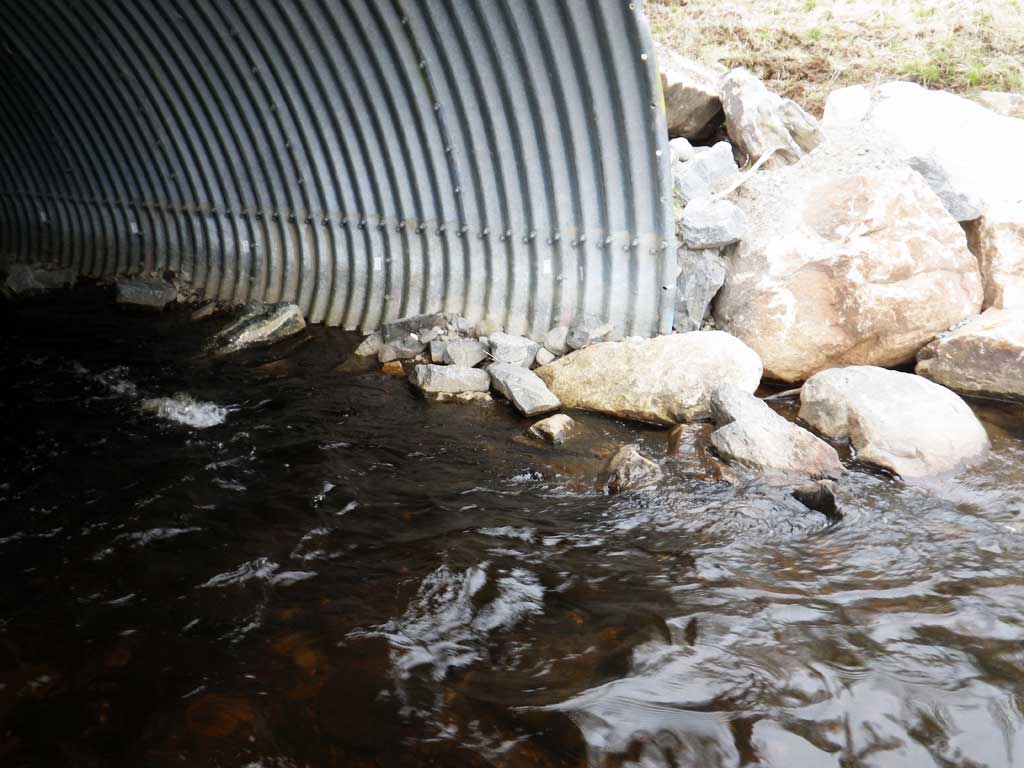
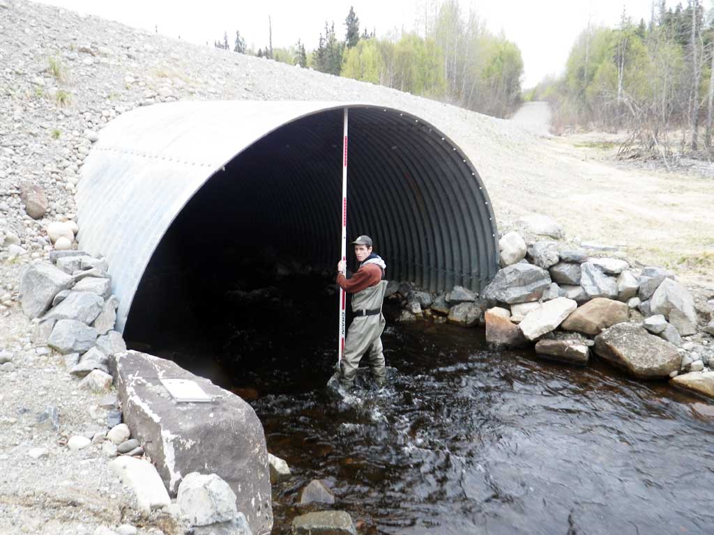
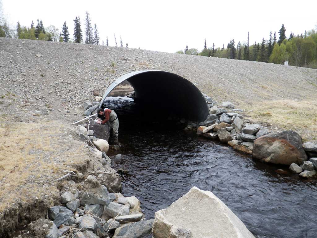
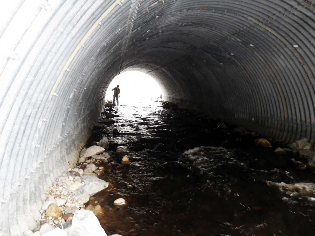
| ID: 1 | Structure Type: Pipe-arch (Structural steel plate) | Fish Passage Rating: | |||||||||||||||||||||||||||||||||||||||||
|
|
|
|||||||||||||||||||||||||||||||||||||||||
Comments: Culvert set a little too high, culvert does not meet embedded standards for a pipe arch. Water surface gradient though culvert 1.49%, substrate gradient from inverts 1.46%. |
|||||||||||||||||||||||||||||||||||||||||||
Culvert Observations:
|
|||||||||||||||||||||||||||||||||||||||||||
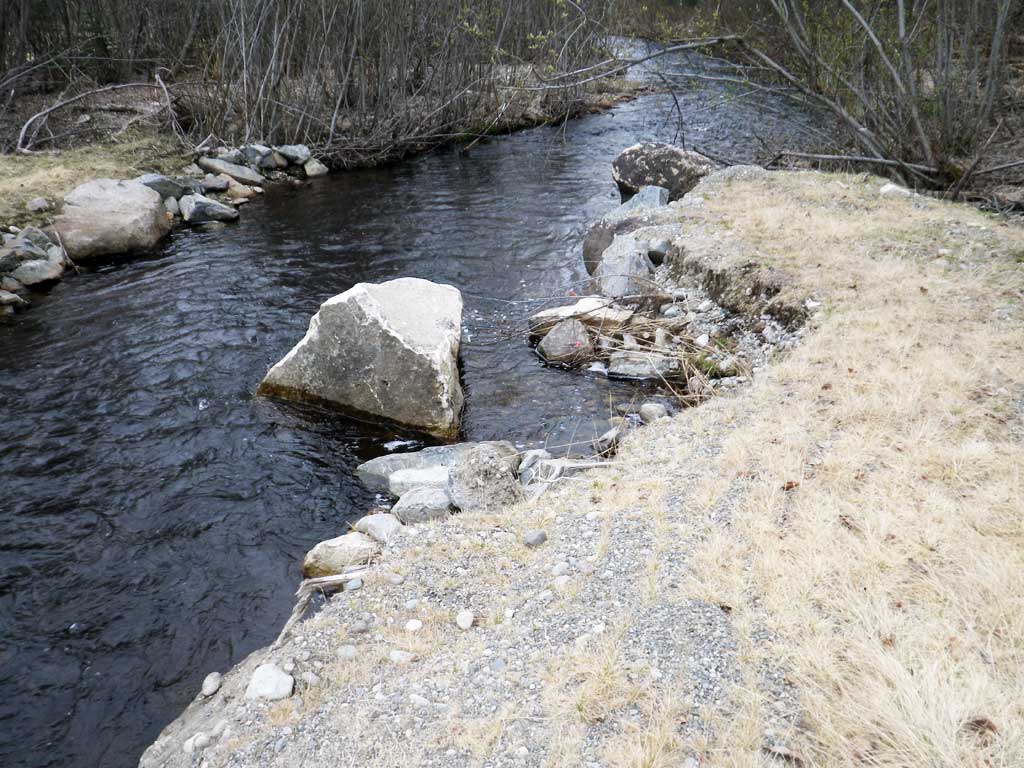
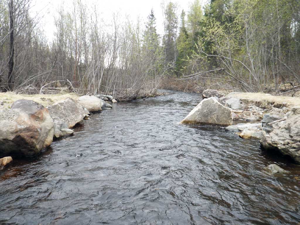
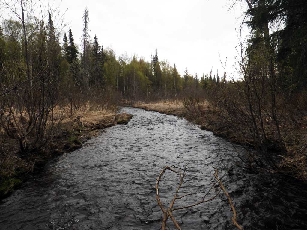
Stream Measurements
|
|
No stream width data available.
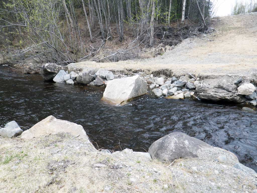
Elevations
| Locator ID | Culvert Number |
River Distance (ft)1 |
Distance From Crossing (ft)2 |
Relative Elevation (ft) |
|---|---|---|---|---|
| Road Elev | 105.05 | |||
| D/S Thalweg | 0.00 | 87.60 | ||
| D/S Water Surface Elev | 0.00 | 88.15 | ||
| D/S Grade Ctrl (Thalweg) (End of constructed outlet reach) | 105.00 | 88.21 | ||
| D/S Water Surface Elev | 105.00 | 89.30 | ||
| Outlet Pool Water Elev | 134.00 | 89.38 | ||
| Max Pool Depth (Middle of constructed reach.) | 134.00 | 86.41 | ||
| Outlet Culvert Top | 157.00 | 98.60 | ||
| Outlet Invert (On substrate) | 157.00 | 88.45 | ||
| D/S Water Surface Elev | 157.00 | 89.58 | ||
| Inlet Culvert Invert (On substrate) | 237.40 | 89.62 | ||
| U/S Water Surface Elev | 237.40 | 90.78 | ||
| Inlet Culvert Top | 237.40 | 100.02 | ||
| U/S Grade Ctrl (Thalweg) (1st resting habitat) | 246.40 | 89.48 | ||
| U/S Water Surface Elev | 246.40 | 90.82 |
Notes:
- River distance is measured continuously throughout the survey reach along the thalweg of the stream.
- Measured from each end of the crossing along the thalweg of the stream.
Fish Sampling Efforts
| Gear Type: Minnow Trap (A) | Trap Duration(h): 1.1 | |
| Comments: No fish caught | ||
| Gear Type: Minnow Trap (B) | Trap Duration(h): 1.1 | |
| Comments: No fish caught. | ||
Fish Observations
No fish observations occurred during this survey.
Photos


Questions or comments about this report can be directed to dfg.dsf.webmaster@alaska.gov