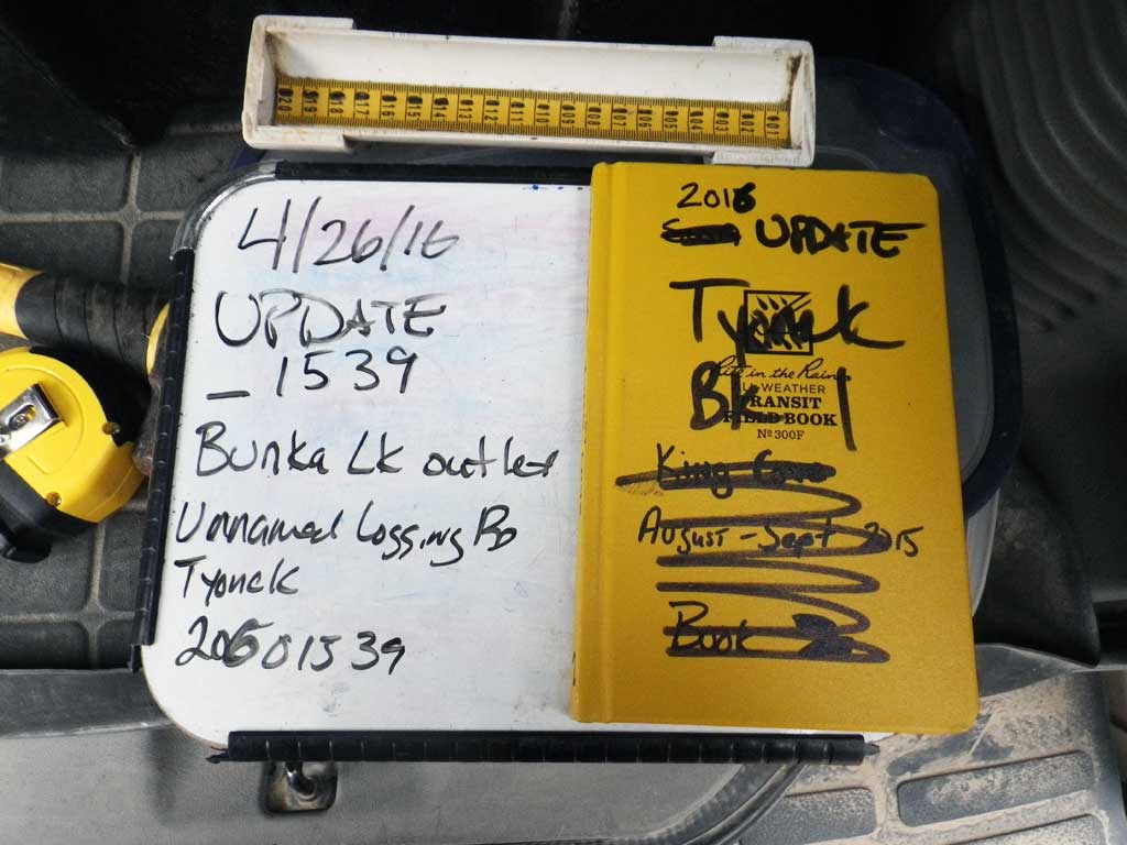
Fish Passage Site 20601539
Coordinates (dec. deg.): 61.06987°, -151.17418°
Legal Description: S011N011W02
Region: South Central
Road Name: Tyonek Timber Road
Datum: NAD83
Quad Name / ITM: Tyonek A-4
AWC Stream #: 247-20-10030-2001
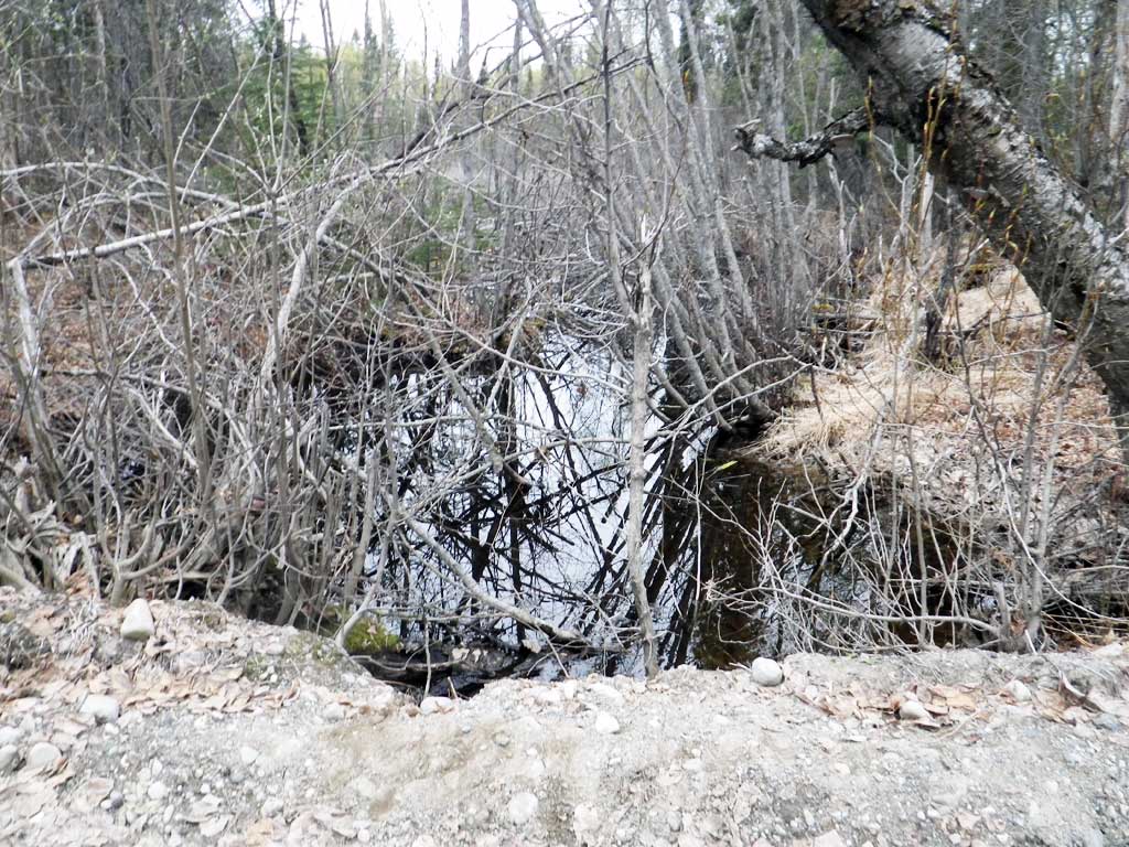
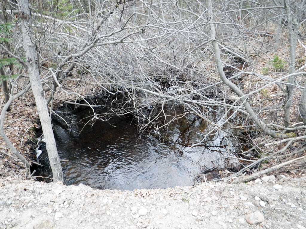
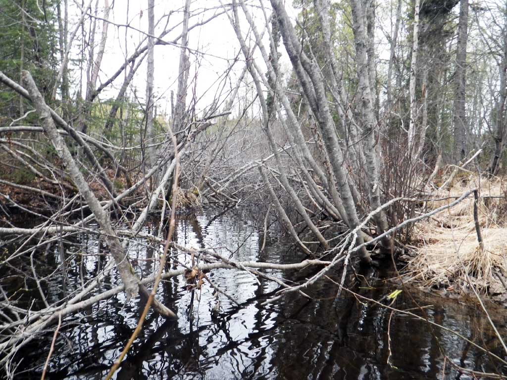
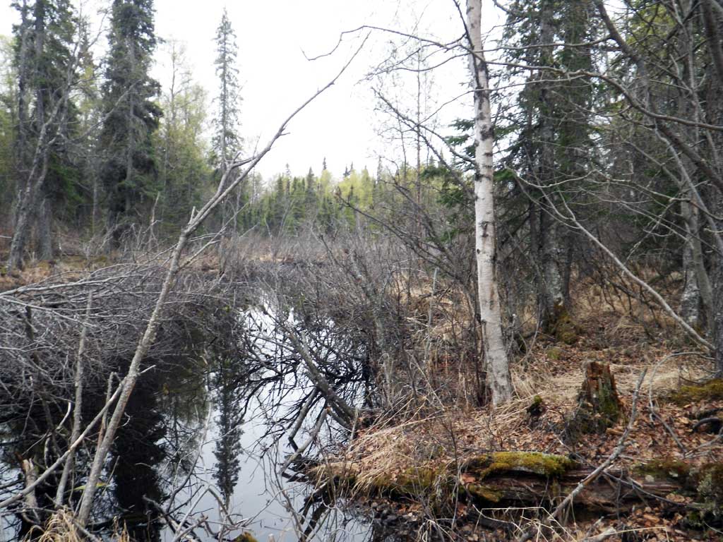
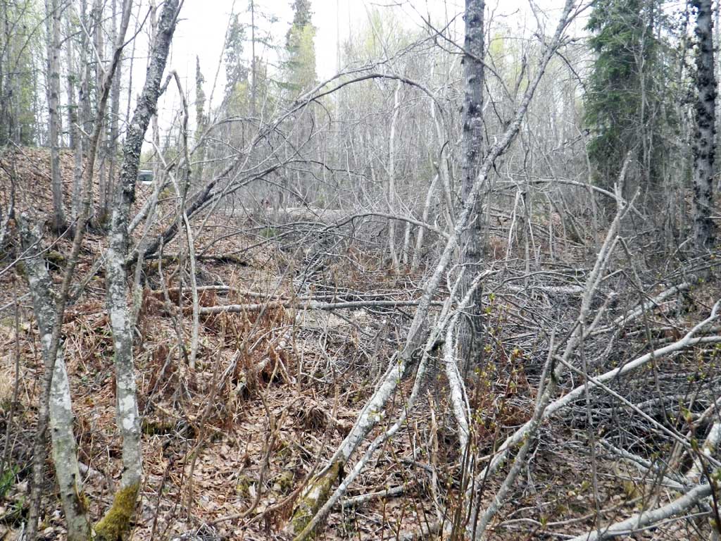
Stream Name: Bunka Lake outlet
Elevation:
Site Comments: None
arrow to the right of the survey date below to choose a different report for this site.
Survey UPDATE-1539
Project Supervisor: Gillian O'Doherty, ADFG
Observers: Mark Eisenman, Robert Pype
Overall Fish Passage Rating:
Tidal: No
Backwatered: No
Step Pools: No
Construction Year:
Site Observations:
- Culvert gradient red
- Constriction ratio gray
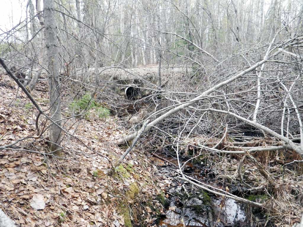
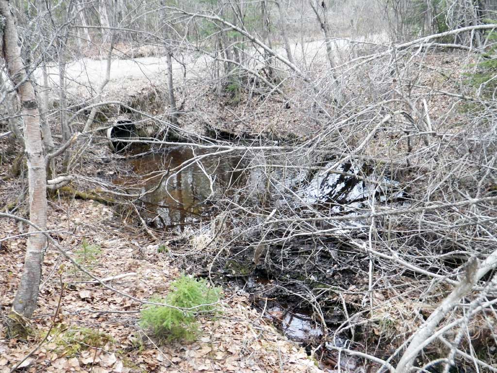
- Inlet perch
- Road Fill (pushed off road by grader)
- Culvert is too short
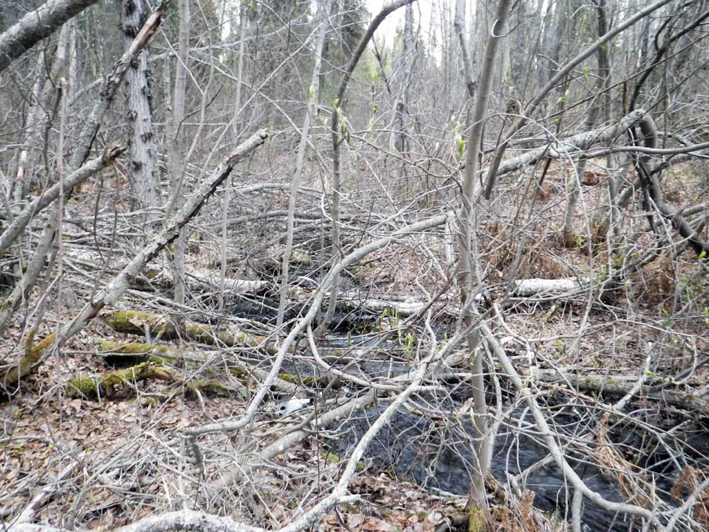
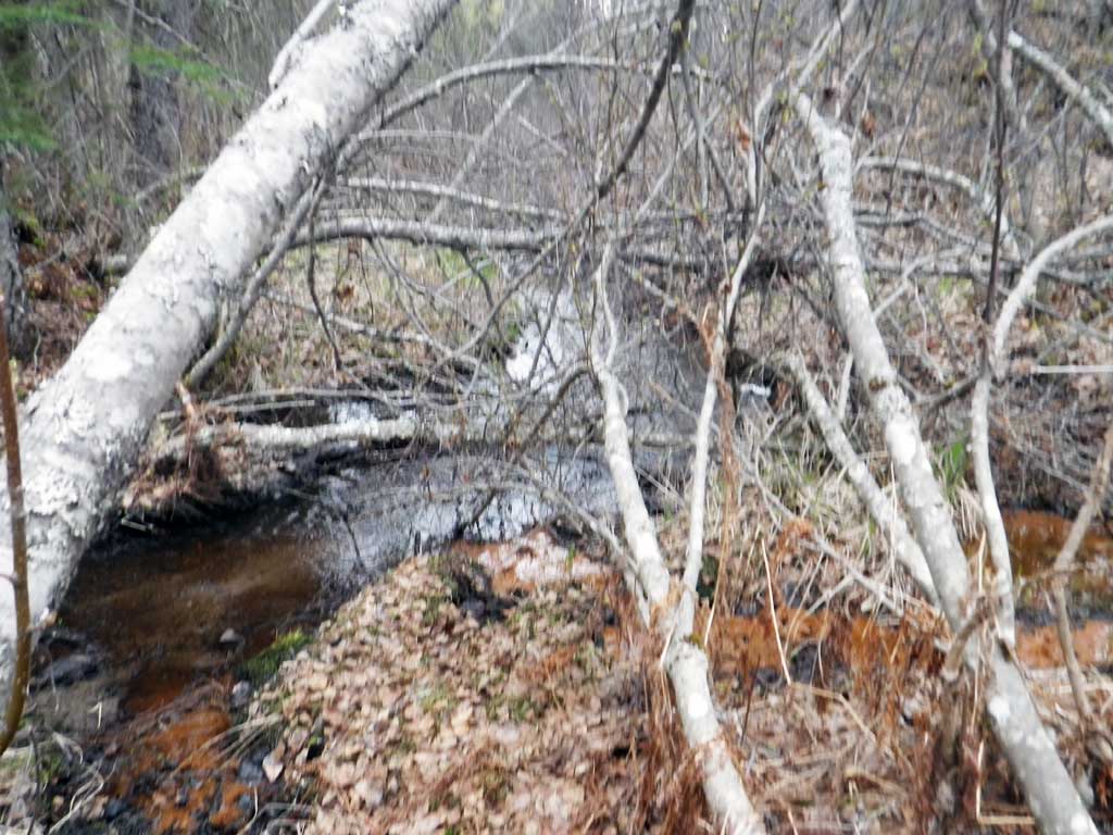
- Debris Flow
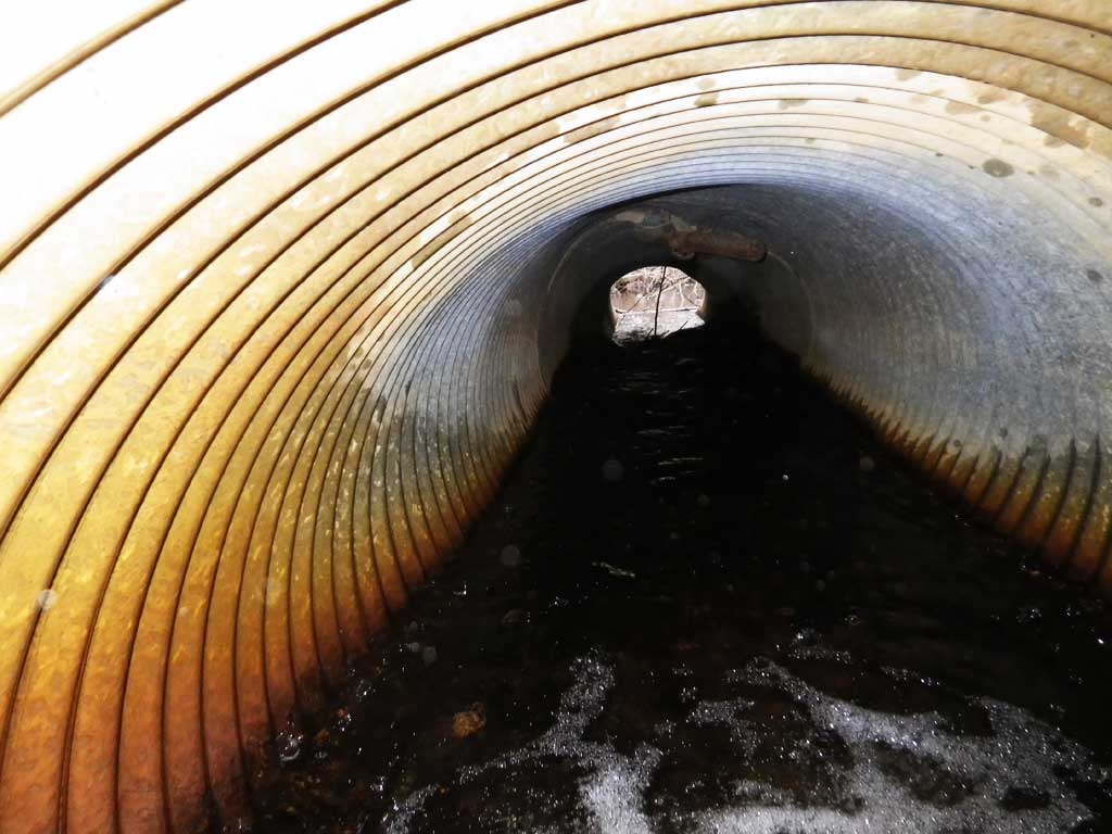
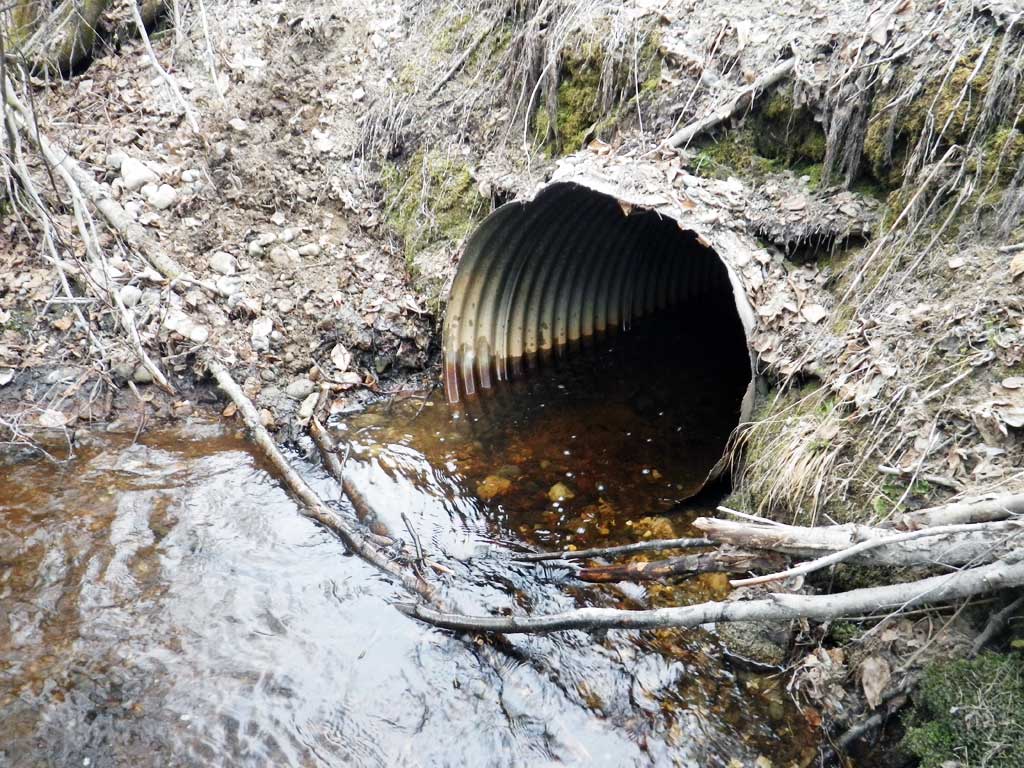
Comments: Resurvey. Site conditions have changed since 2002 survey and AWC nomination has this site flowing the wrong way. Site no longer has a perch, scour hole most likely filled with road fill. Culvert still Red due to gradient and large inlet perch and debris perch inside culvert.
Culvert Measurements
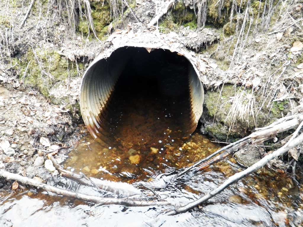
| ID: 1 | Structure Type: Circular pipe (Corrugated steel) | Fish Passage Rating: | |||||||||||||||||||||||||||||||||||||||||
|
|
|
|||||||||||||||||||||||||||||||||||||||||
Comments: Rust line height taken at outlet.. Inlet invert bent and has a large organic debris inlet perch. |
|||||||||||||||||||||||||||||||||||||||||||
Culvert Observations:
|
|||||||||||||||||||||||||||||||||||||||||||
Stream Measurements
|
|
| Stream Width Type | Distance From Crossing (ft) |
Stream Width (ft) |
|---|---|---|
| Downstream ordinary high water | 100.0 | 4.10 |
| Downstream ordinary high water | 150.0 | 4.00 |
| Downstream ordinary high water | 200.0 | 3.60 |
Elevations
| Locator ID | Culvert Number |
River Distance (ft)1 |
Distance From Crossing (ft)2 |
Relative Elevation (ft) |
|---|---|---|---|---|
| Road Elev | 97.50 | |||
| D/S Grade Ctrl (Thalweg) | 0.00 | 90.74 | ||
| D/S Water Surface Elev | 0.00 | 90.95 | ||
| D/S Tailcrest or 1st Thalweg | 55.00 | 92.02 | ||
| D/S Water Surface Elev | 55.00 | 92.48 | ||
| Outlet Pool Water Elev | 65.00 | 92.49 | ||
| Max Pool Depth | 65.00 | 91.22 | ||
| Outlet Invert (on substrate) | 79.00 | 92.08 | ||
| D/S Water Surface Elev | 79.00 | 92.56 | ||
| Outlet Culvert Top | 79.00 | 94.95 | ||
| Inlet Culvert Top | 109.70 | 95.63 | ||
| U/S Water Surface Elev | 109.70 | 93.59 | ||
| Inlet Culvert Invert (on substrate) | 109.70 | 92.67 | ||
| U/S Grade Ctrl (Thalweg) (Top of Inlet perch, 1st resting habitat) | 110.70 | 94.32 | ||
| U/S Water Surface Elev | 110.70 | 94.71 | ||
| U/S Water Surface Elev | 118.70 | 94.86 | ||
| U/S Thalweg | 118.70 | 93.34 |
Notes:
- River distance is measured continuously throughout the survey reach along the thalweg of the stream.
- Measured from each end of the crossing along the thalweg of the stream.
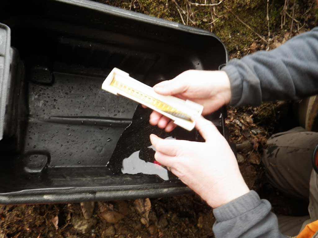
Fish Sampling Efforts
| Gear Type: Minnow Trap (A) | Trap Duration(h): 1.4 | |
| Comments: Trap set about 15 feet upstream from culvert | ||
| Gear Type: Minnow Trap (B) | Trap Duration(h): 1.4 | |
| Comments: Trap set about 20 feet downstream from cuvlert | ||
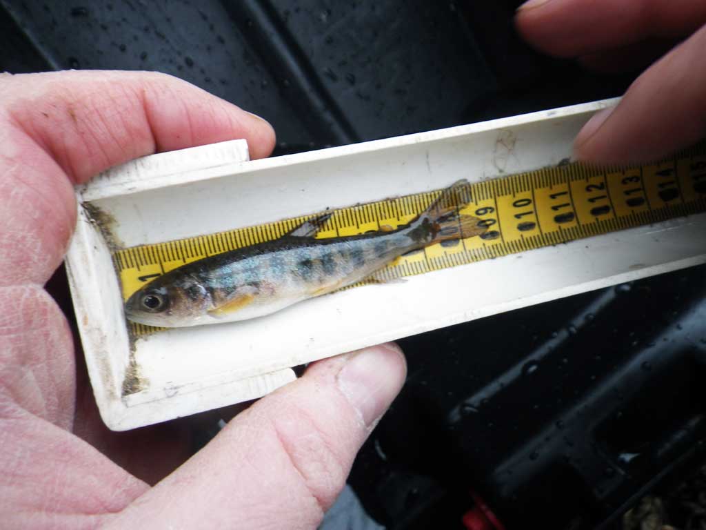
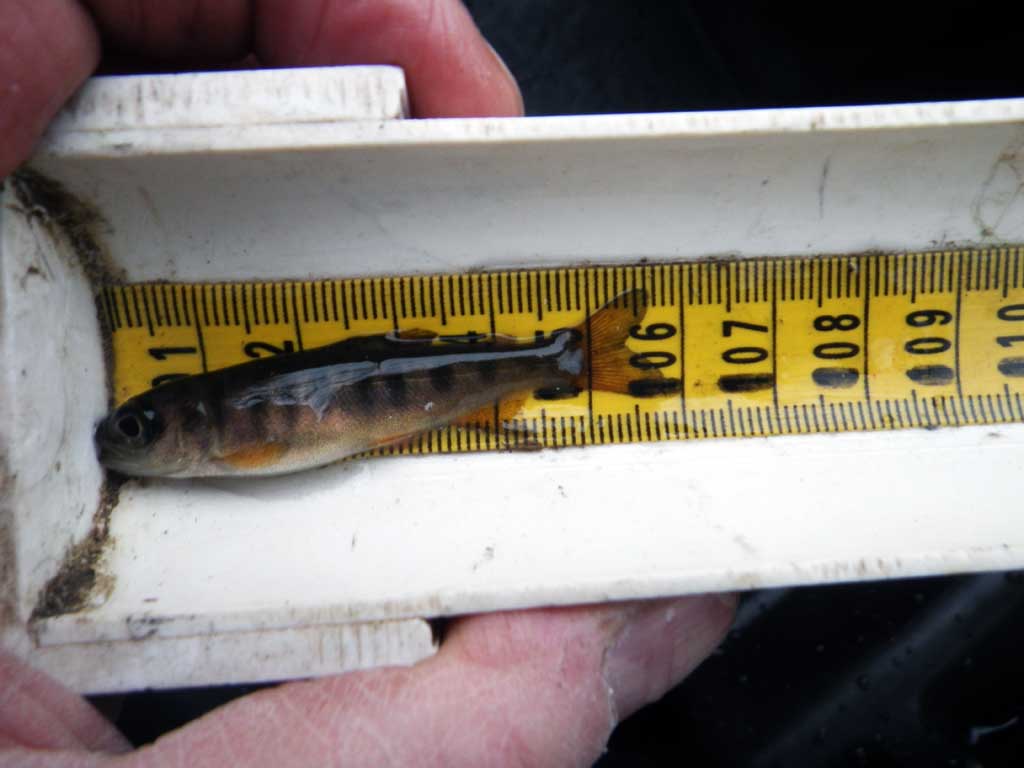
Fish Observations
| Species: juvenile coho salmon | Life History: Anadromous | ||
| Total Fish Observed: 2 | Fish Measured: 2 | Fork Lengths (mm) Min: 55 Max: 80 Mean: 67 | |
| Collected/Observed by Gear Type: Downstream Minnow Trap (2) | |||
Photos


Questions or comments about this report can be directed to dfg.dsf.webmaster@alaska.gov