Fish Passage Site 20601538
Coordinates (dec. deg.): 61.08064°, -151.17912°
Legal Description: S012N011W35
Region: South Central
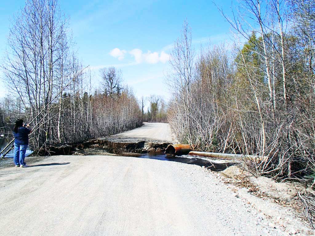
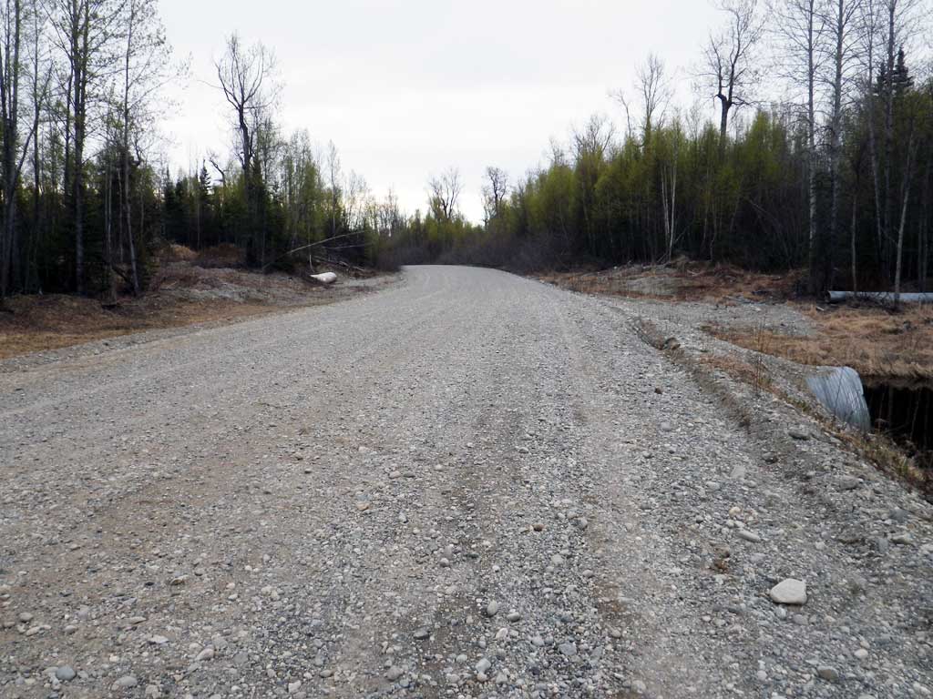
Road Name: Logging Road
Datum: NAD83
Quad Name / ITM: Tyonek A-4
AWC Stream #:
Stream Name: Unnamed
Elevation:
Site Comments: None
arrow to the right of the survey date below to choose a different report for this site.
Survey UPDATE-TY012
Project Supervisor: Gillian O'Doherty, ADFG
Observers: Mark Eisenman, Robert Pype
Overall Fish Passage Rating:
Tidal:
Backwatered:
Step Pools:
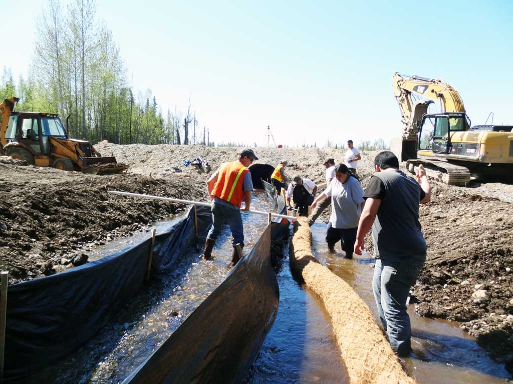
Construction Year: 2012
Site Observations:
- None of this type
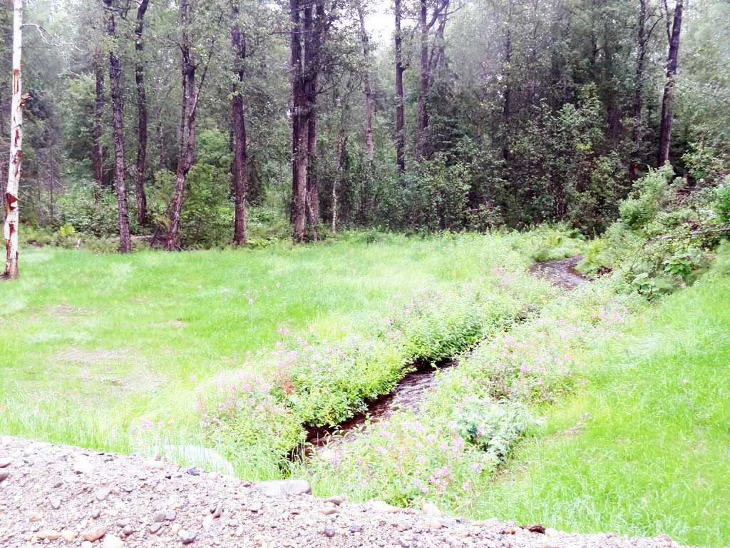
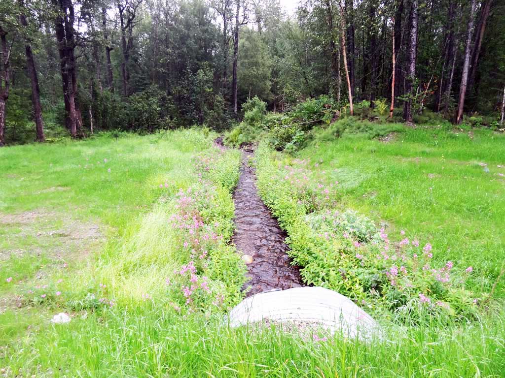
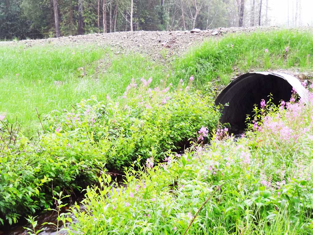
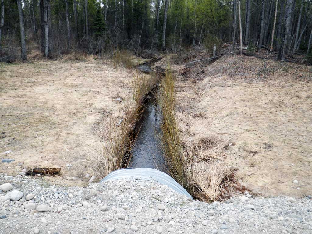
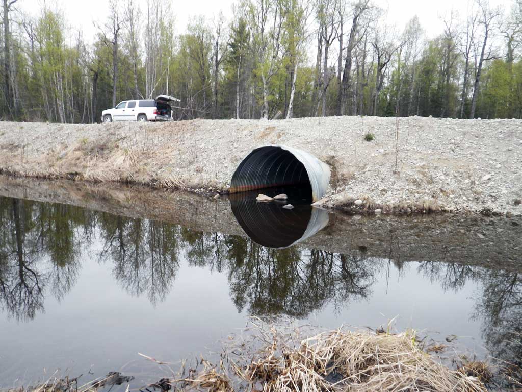
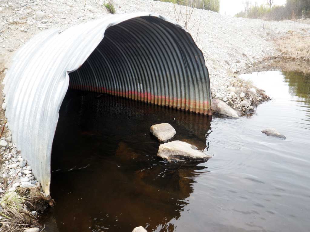
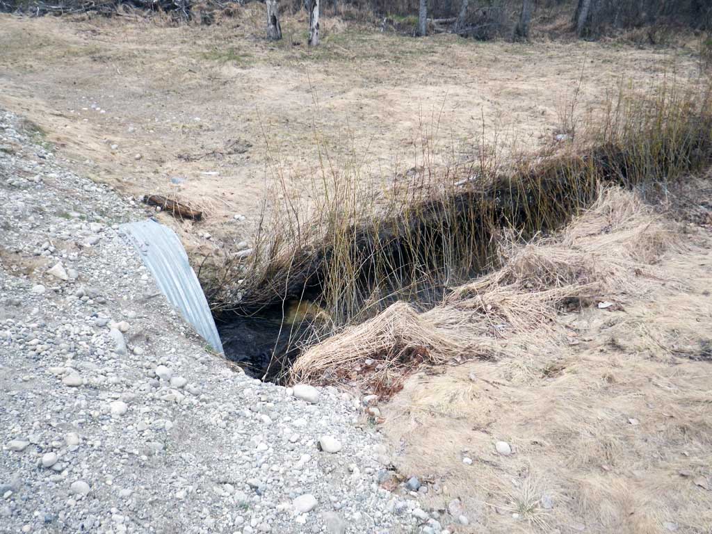
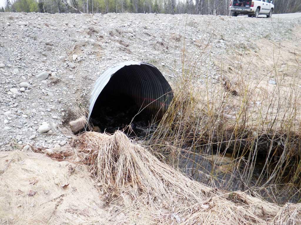
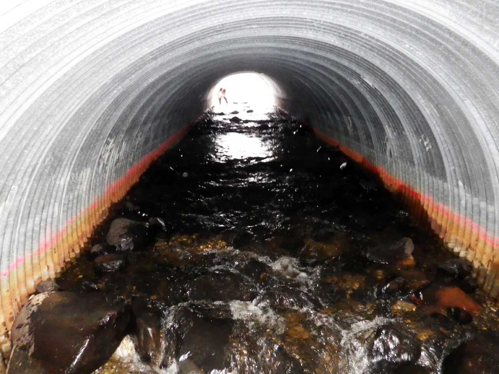
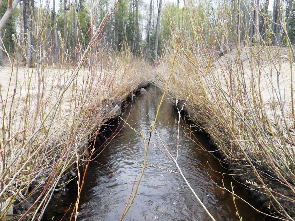
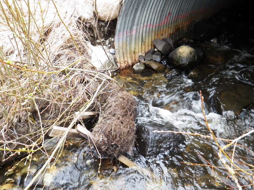
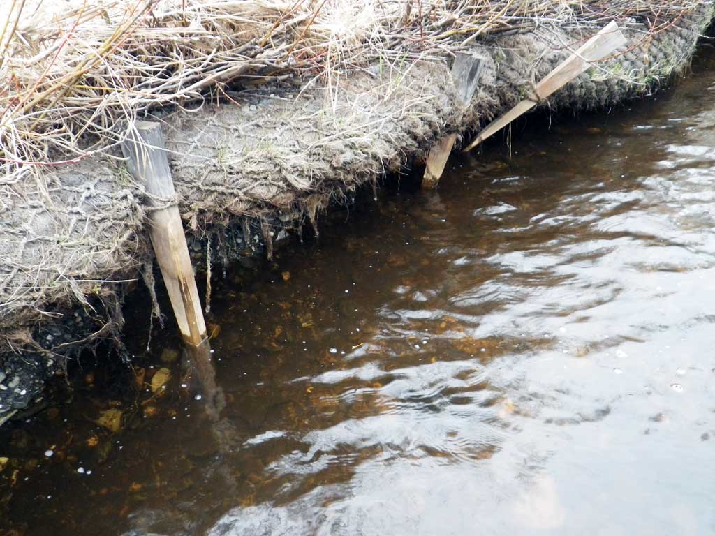
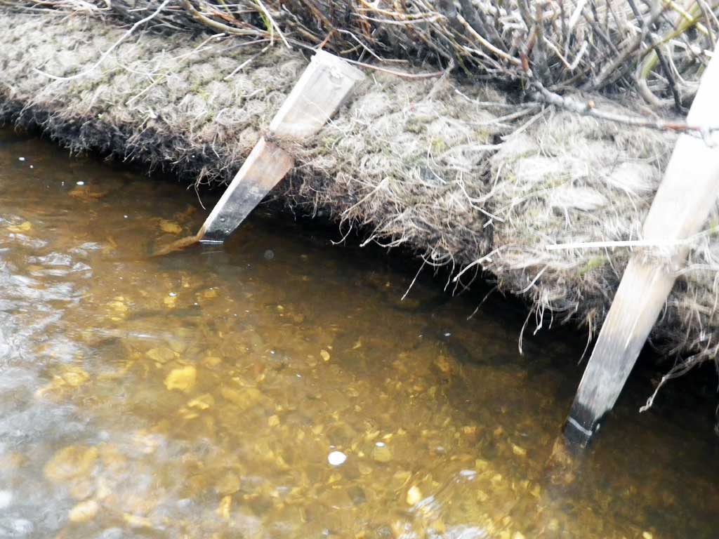
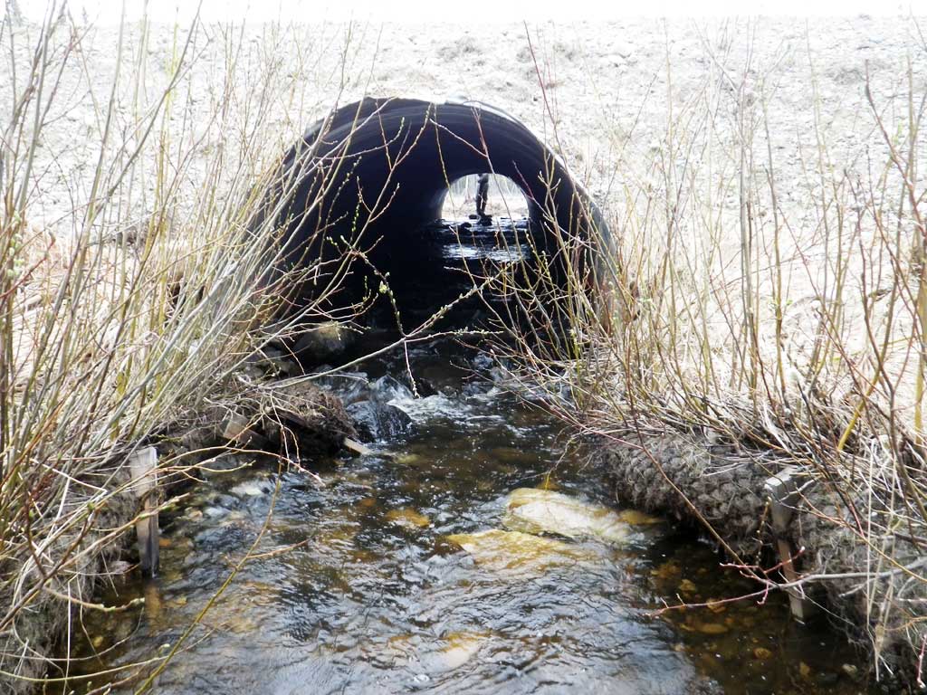
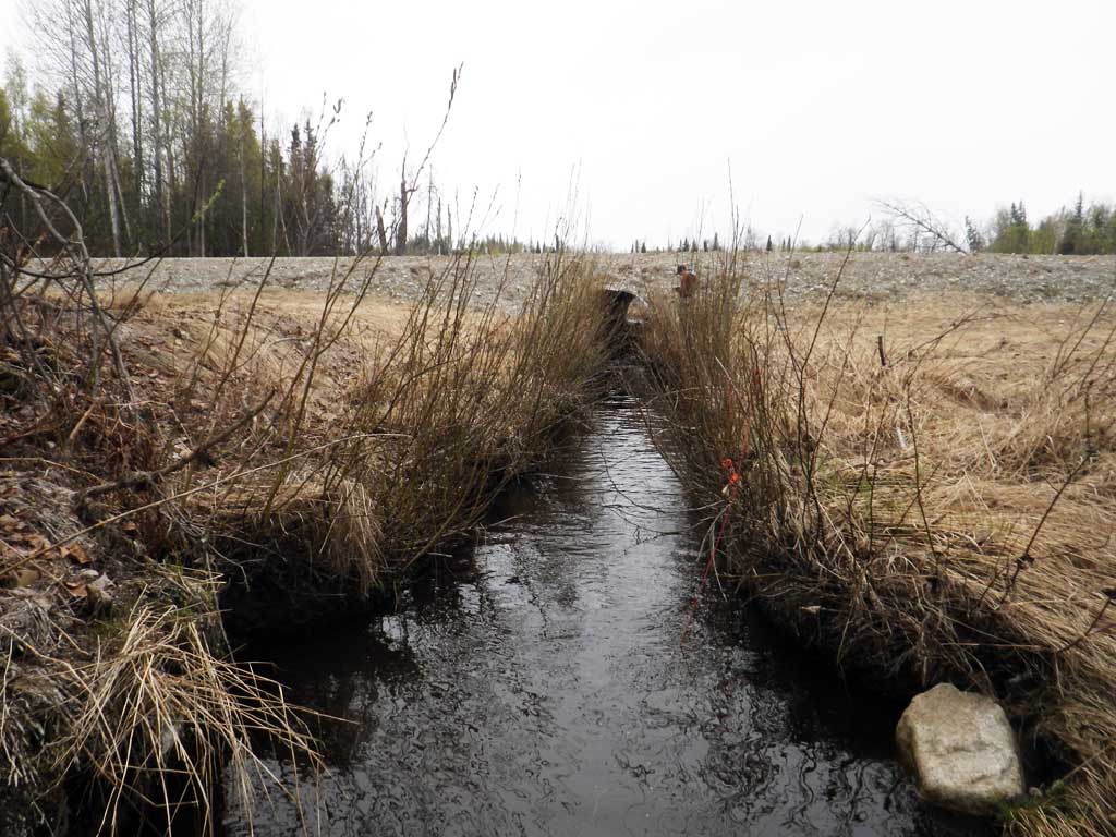
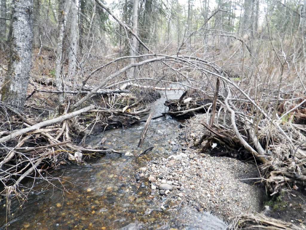
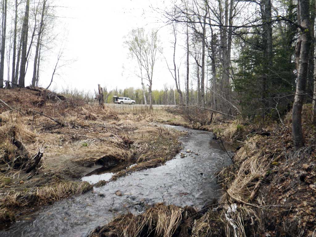
Comments: Replaced with a stream simulation design in October of 2012 and bioengineering work on the channel was completed in June of 2013.
Culvert Measurements
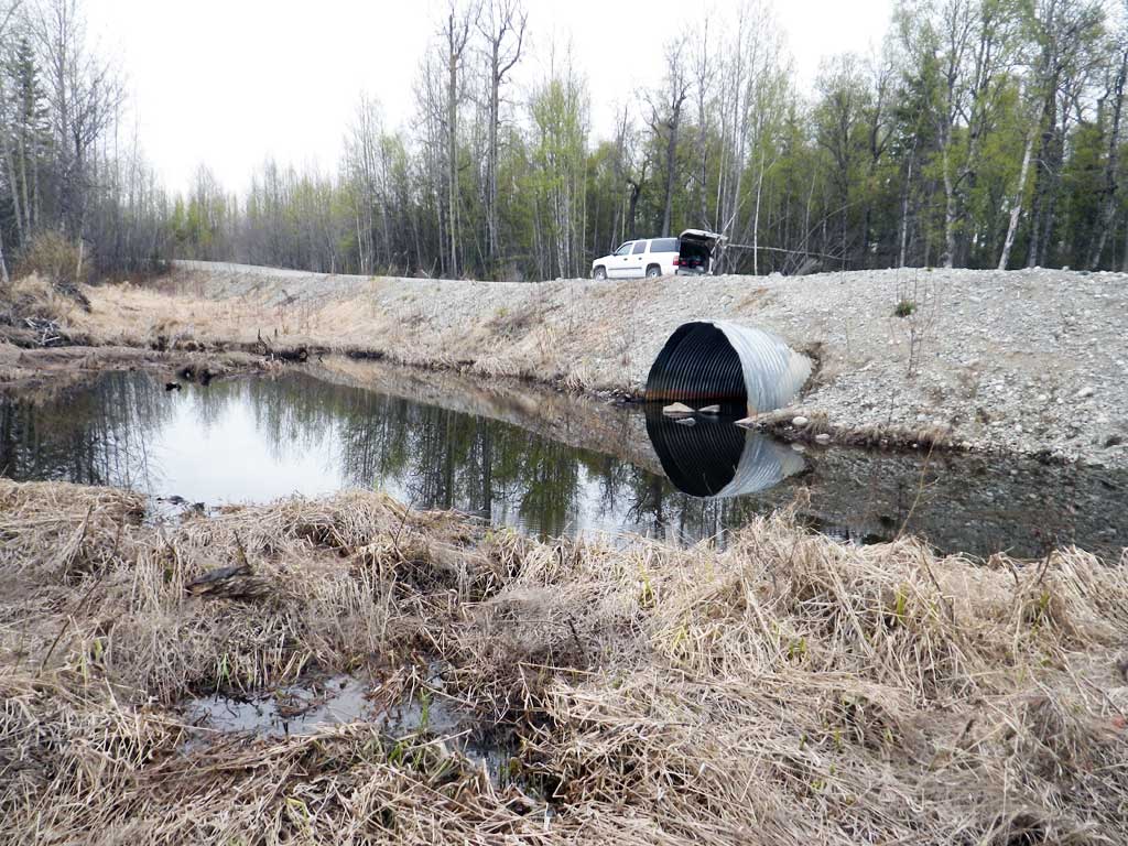
| ID: 1 | Structure Type: Circular pipe (Corrugated steel) | Fish Passage Rating: | ||||||||||||||||||||||||||||||||||||||||||
|
|
|
||||||||||||||||||||||||||||||||||||||||||
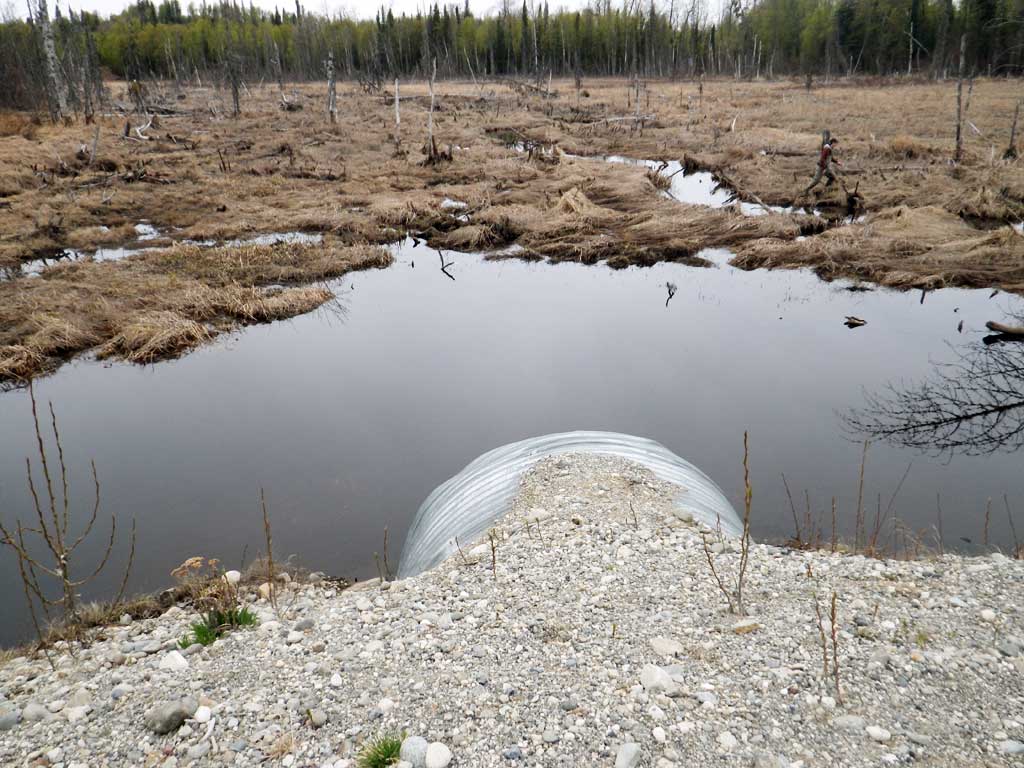
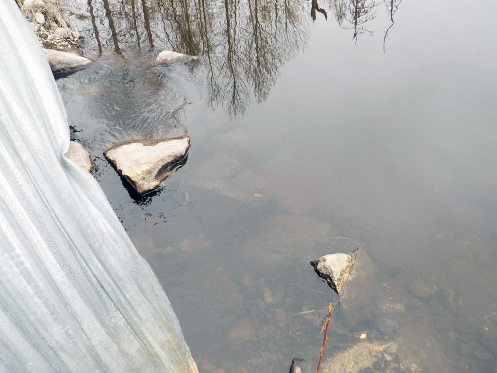
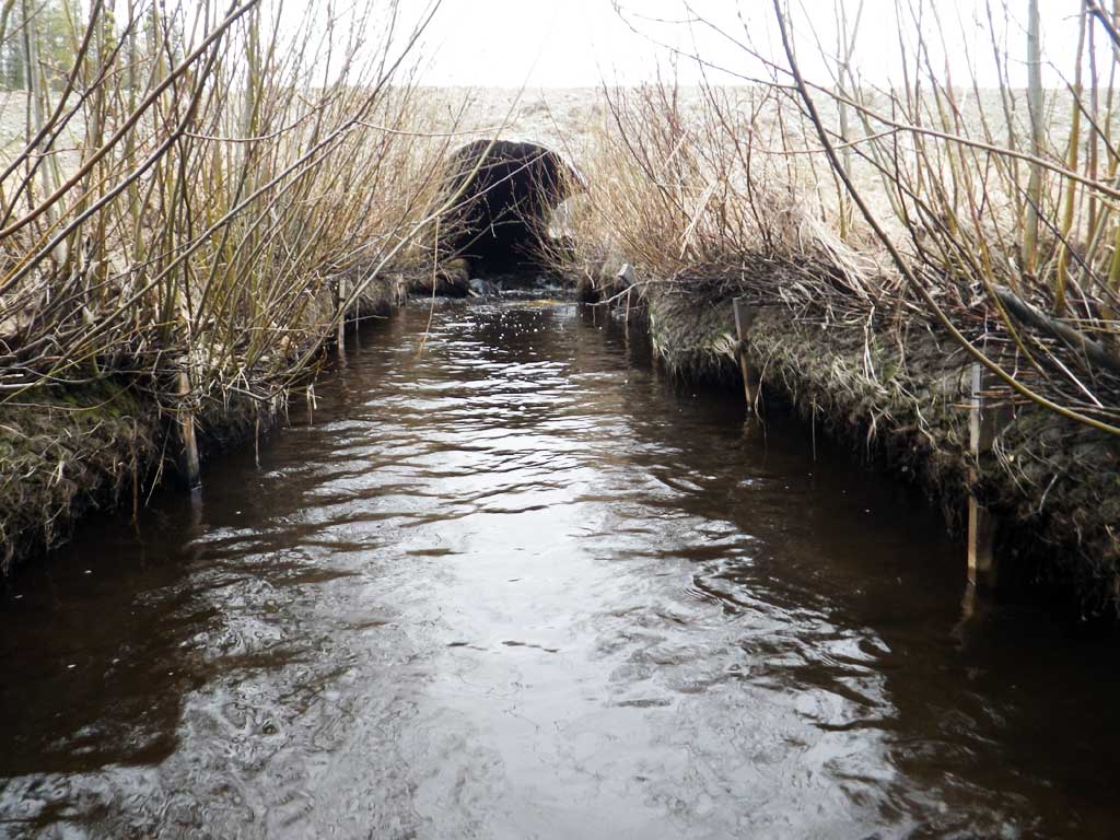
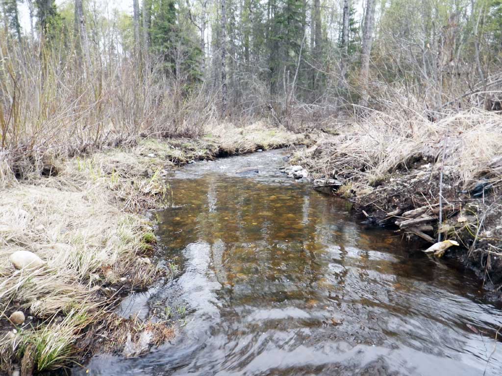
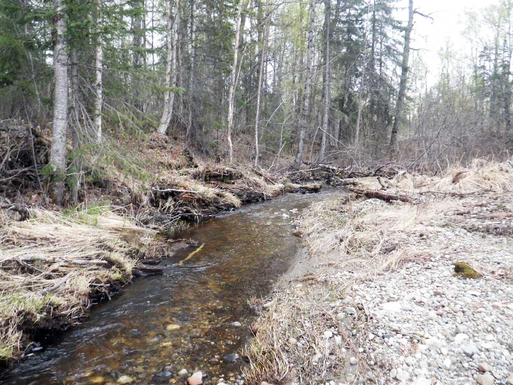
Comments: Downstream constructed channel shows signs of head cutting . Coir logs have been undercut and some look that they might fall into creekwith more erosion. Upstream water surface flat and held by large boulders at inlet. Looks like some of the substrate inside the culvert has been washed out. |
||||||||||||||||||||||||||||||||||||||||||||
Culvert Observations:
|
||||||||||||||||||||||||||||||||||||||||||||
Stream Measurements
|
|
No stream width data available.
Elevations
| Locator ID | Culvert Number |
River Distance (ft)1 |
Distance From Crossing (ft)2 |
Relative Elevation (ft) |
|---|---|---|---|---|
| Road Elev | 103.37 | |||
| D/S Grade Ctrl (Thalweg) (End of channel restoration) | 0.00 | 92.57 | ||
| D/S Water Surface Elev | 0.00 | 93.15 | ||
| D/S Tailcrest or 1st Thalweg | 51.00 | 93.36 | ||
| D/S Water Surface Elev | 51.00 | 93.97 | ||
| D/S Water Surface Elev | 84.00 | 94.02 | ||
| D/S Thalweg (In restored reach) | 84.00 | 92.08 | ||
| D/S Water Surface Elev | 110.00 | 94.07 | ||
| D/S Thalweg (In restored reach) | 110.00 | 92.63 | ||
| Outlet Invert (On substrate) | 138.00 | 93.36 | ||
| D/S Water Surface Elev | 138.00 | 94.04 | ||
| Outlet Culvert Top | 138.00 | 99.73 | ||
| Inlet Culvert Top | 198.10 | 100.72 | ||
| U/S Water Surface Elev | 198.10 | 96.27 | ||
| Inlet Culvert Invert (On substrate, 1st resting habitat) | 198.10 | 94.47 | ||
| U/S Thalweg (upstream in pond) | 207.10 | 94.74 | ||
| U/S Water Surface Elev | 207.10 | 96.27 |
Notes:
- River distance is measured continuously throughout the survey reach along the thalweg of the stream.
- Measured from each end of the crossing along the thalweg of the stream.
Fish Sampling Efforts
| Gear Type: Minnow Trap (A) | Trap Duration(h): 0.5 | |
| Comments: Trap set about 50 feet upstream. No fish caught | ||
| Gear Type: Minnow Trap (B) | Trap Duration(h): 0.5 | |
| Comments: Trap set about 20 feet downstream. No fish caught. | ||
Fish Observations
No fish observations occurred during this survey.
Photos


Questions or comments about this report can be directed to dfg.dsf.webmaster@alaska.gov