Fish Passage Site 20601536
Coordinates (dec. deg.): 61.12846°, -151.22820°
Legal Description: S012N011W16
Region: South Central
Road Name: Pan Am Road
Datum: NAD83
Quad Name / ITM: Tyonek A-4
AWC Stream #:
Stream Name: Unnamed Tributary to Chuitna
Elevation:
Site Comments: None
arrow to the right of the survey date below to choose a different report for this site.
Survey UPDATE-1536
Project Supervisor: Gillian O'Doherty, ADFG
Observers: Mark Eisenman, Robert Pype
Overall Fish Passage Rating:
Tidal: No
Backwatered: Yes
Step Pools: No
Construction Year:
Site Observations:
- Constriction ratio gray
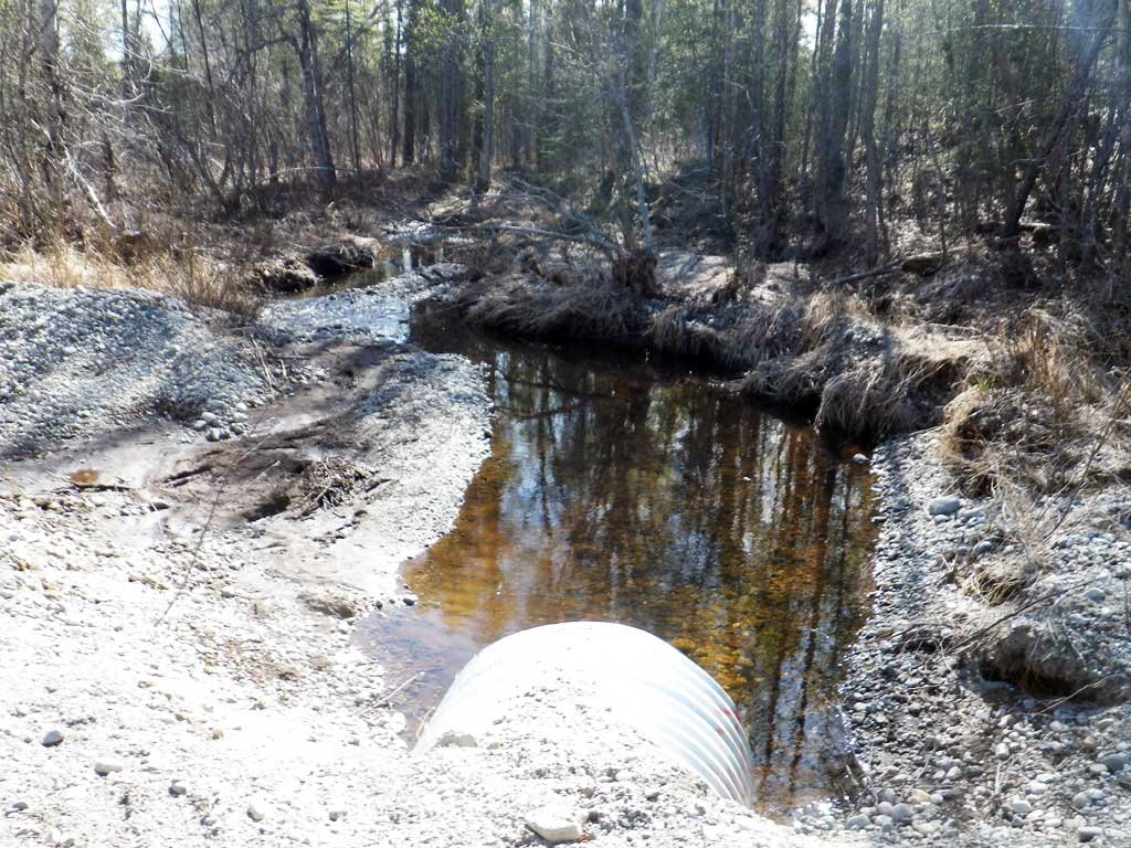
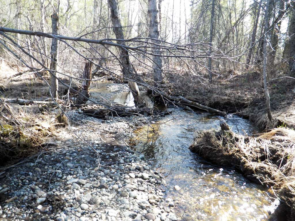
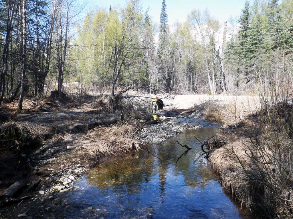
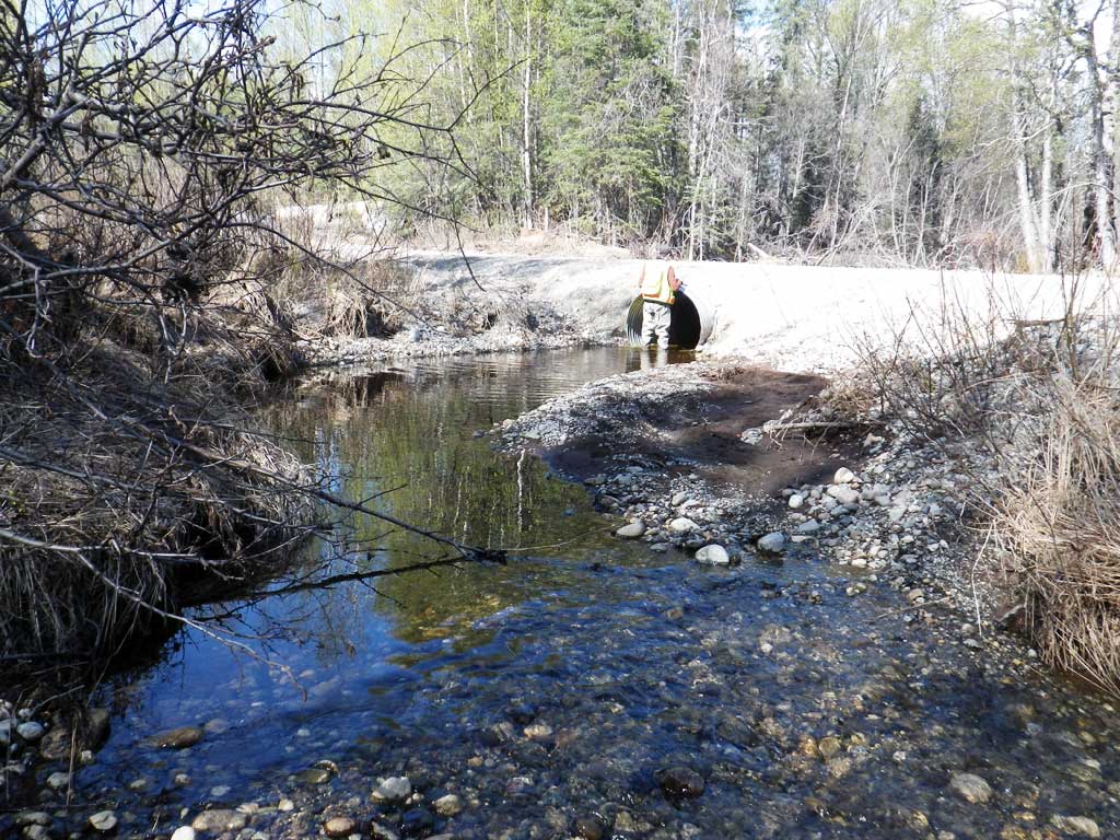
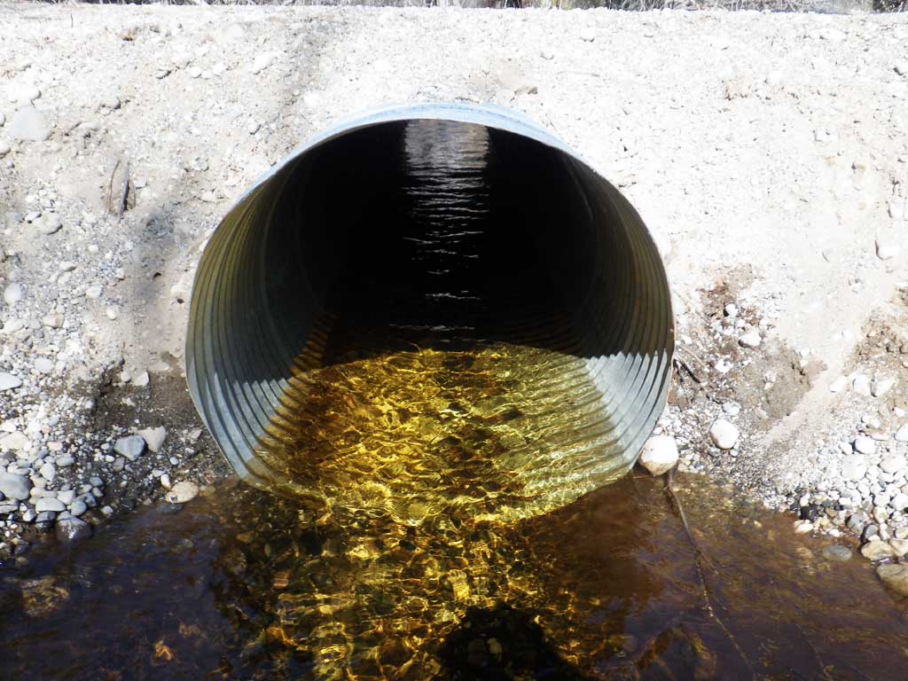
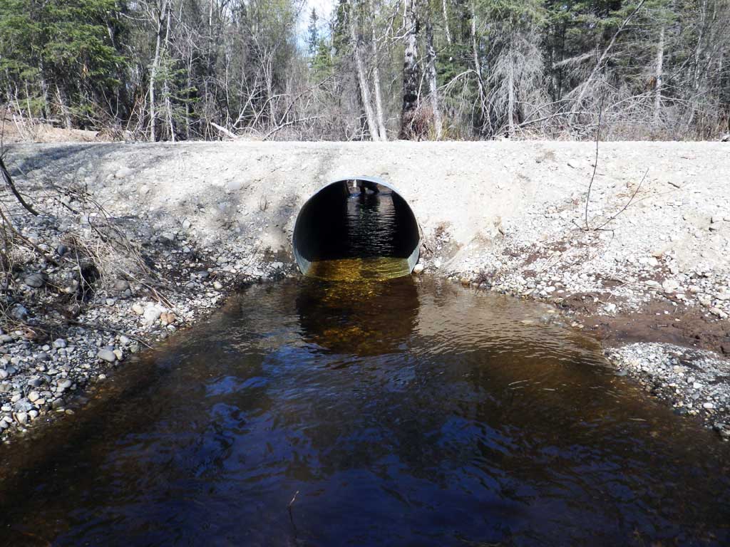
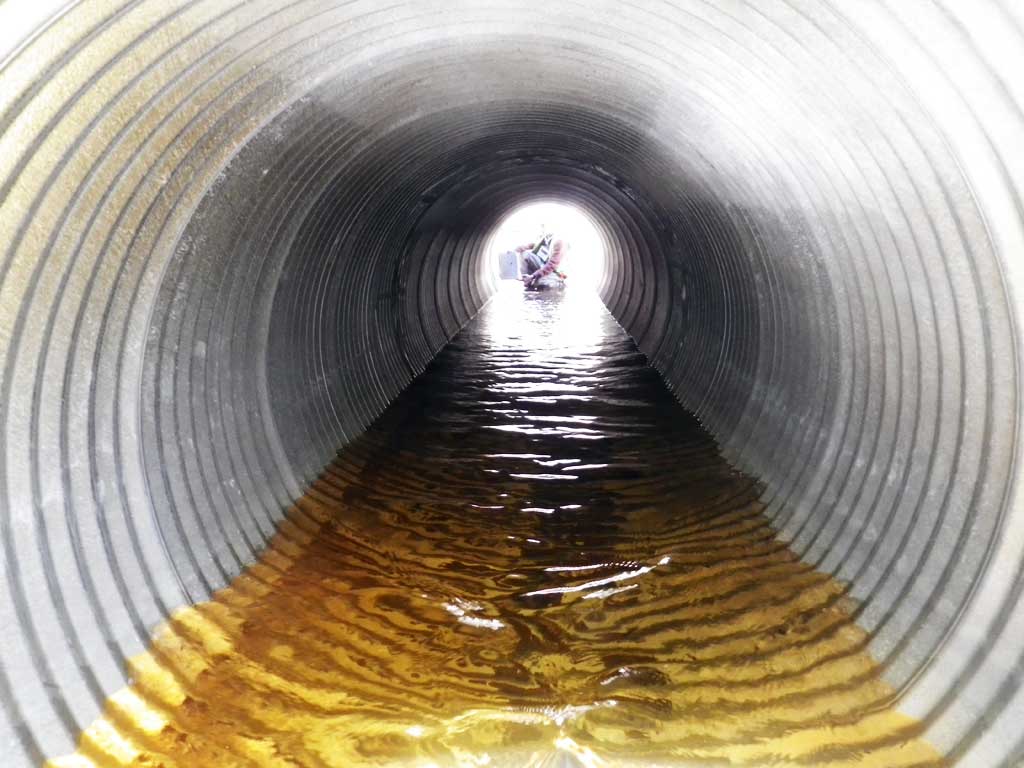
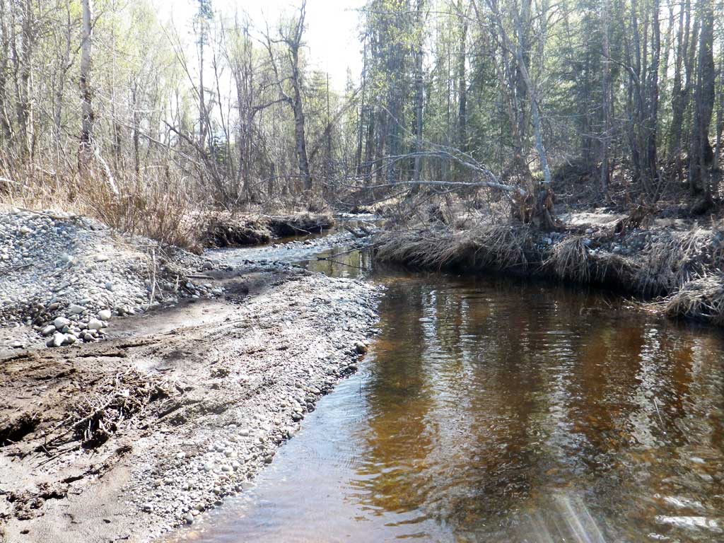
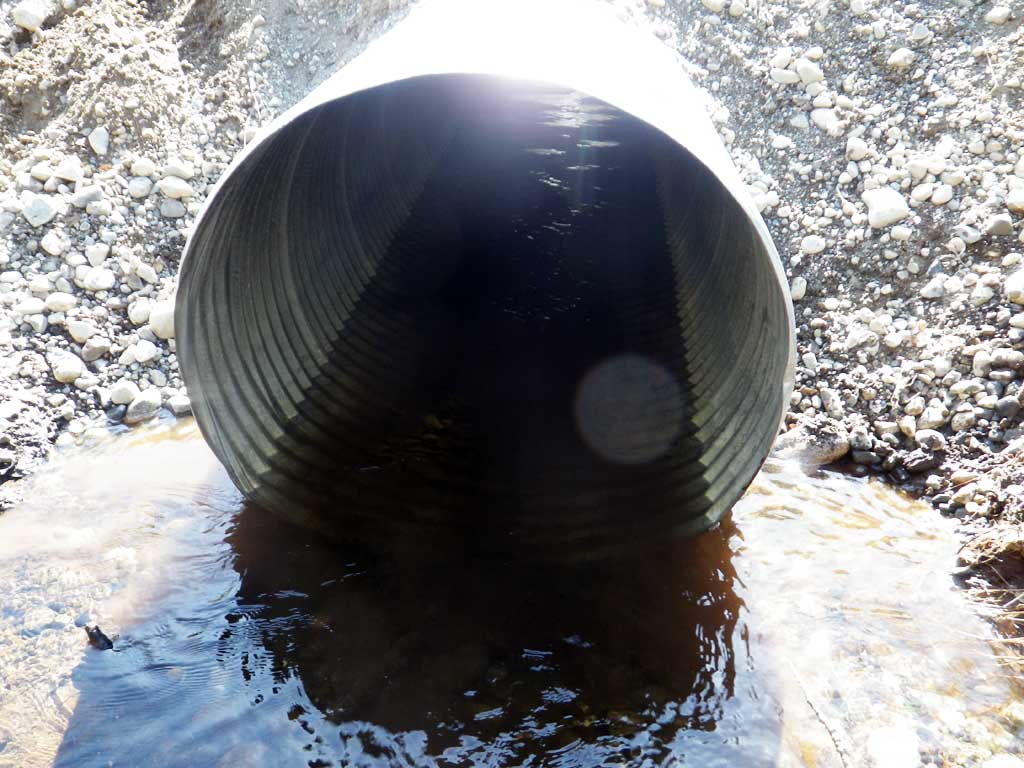
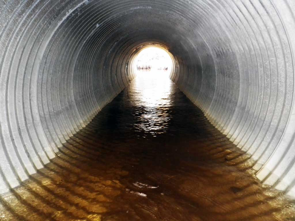
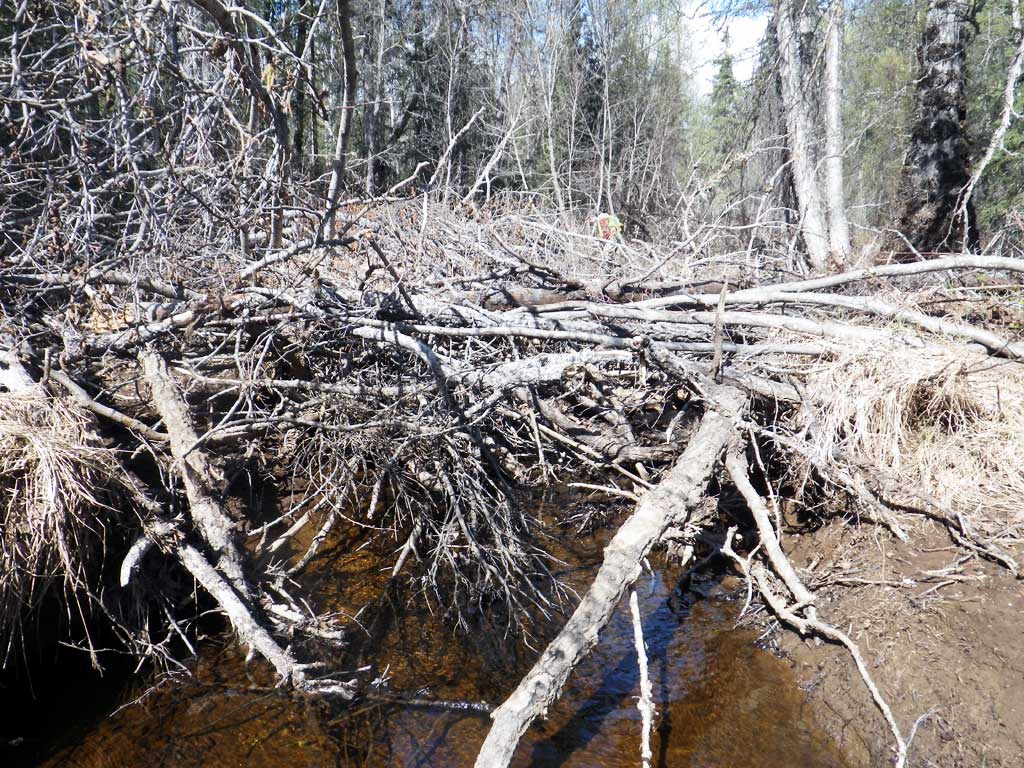
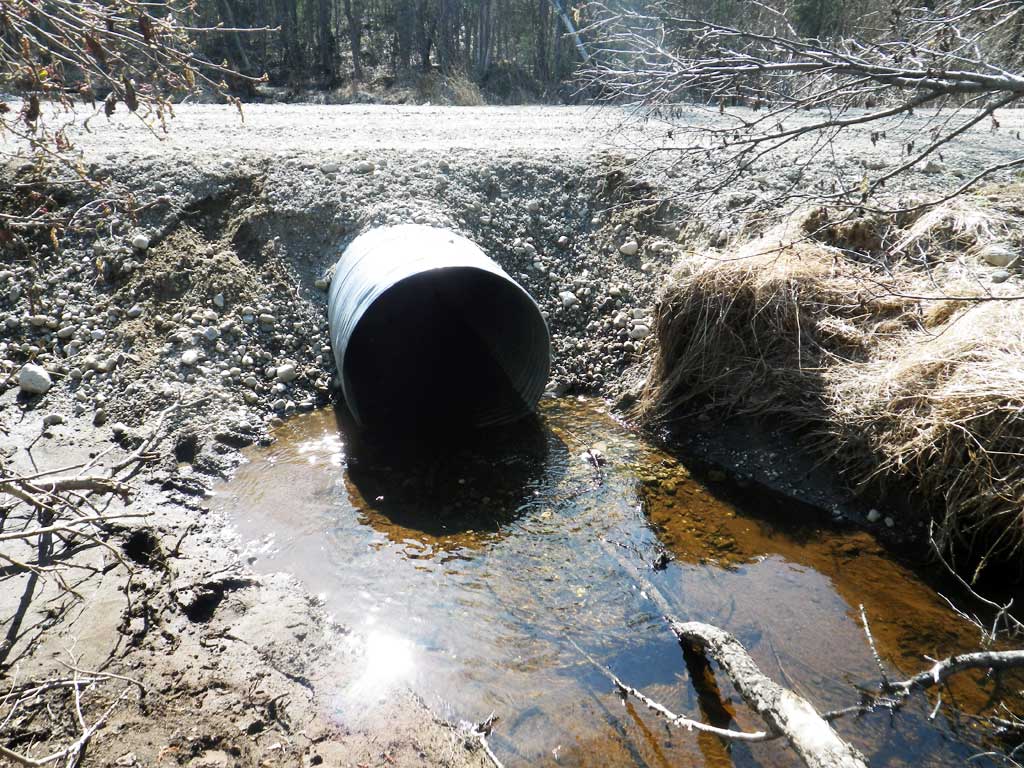
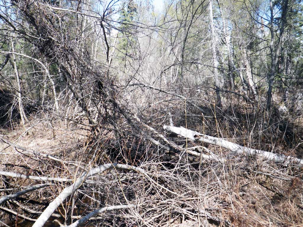
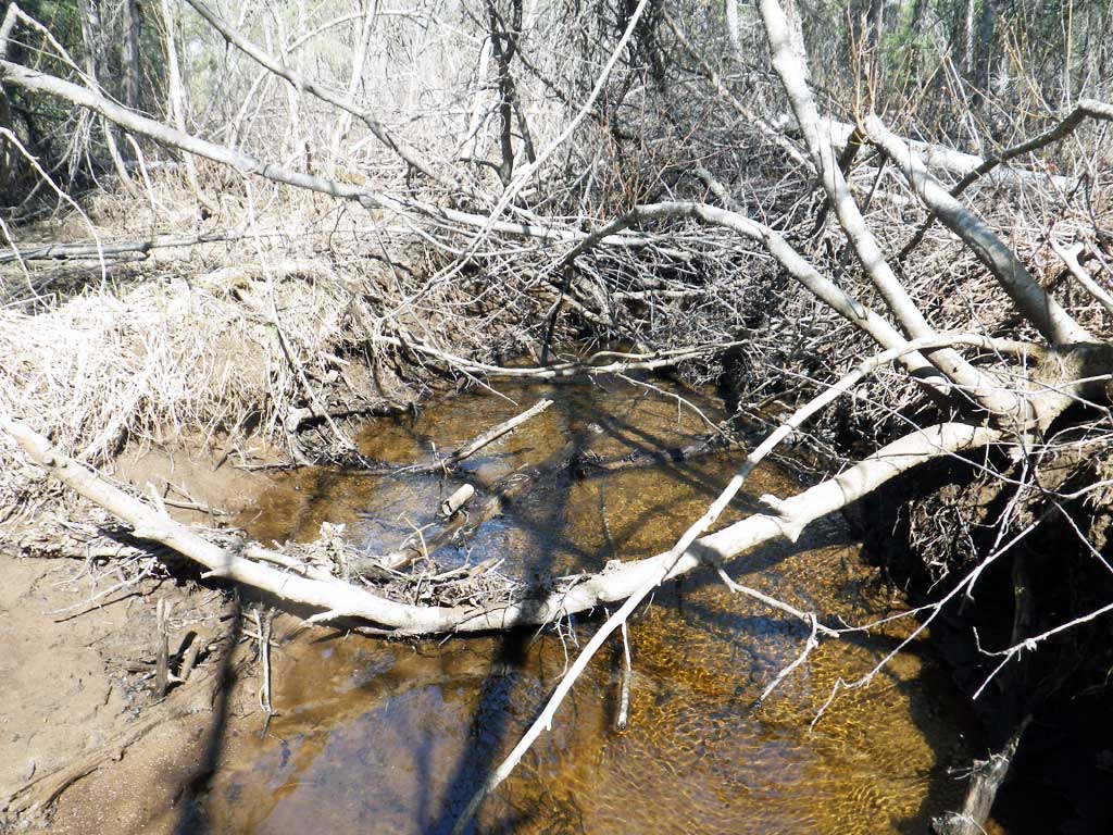
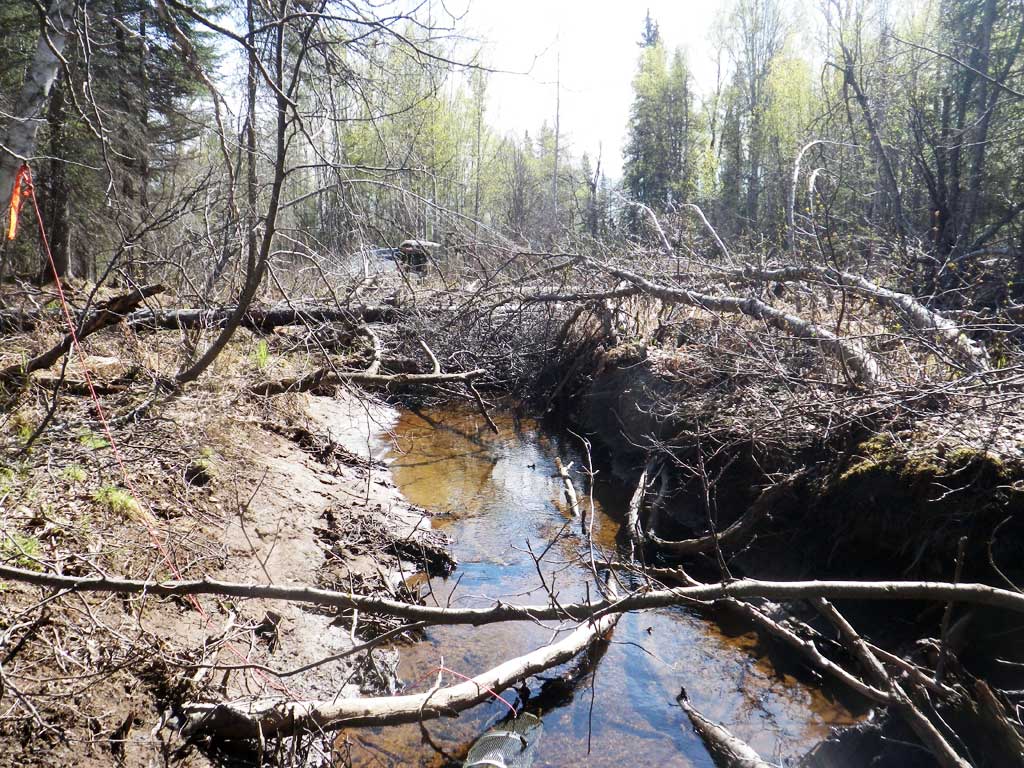
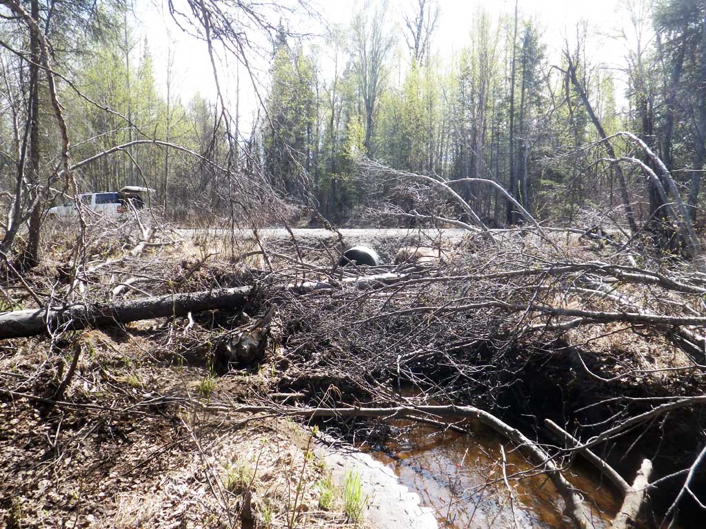
Comments: Nice habitat upstream stream widens out and has a gravel substrate. Downstream also has gravel substrate, most likely from road washouts. Nice pool/riffle complexes. Lots of dead fall over creek directly upstream from inlet and might cause a debris jam at higher flows. Culvert looks to have been recently replaced, but still undersized for creek. The generations of blown out culverts have been piled up next the road. Culvert is technically backwatered with the tail water control being higher than inlet invert and water surfaces very close to same elevation. However this new culvert is not any larger than the previously failed culverts and the issue of constriction and debris has not been addressed. Downstream control likely to fail in the next highwater event and this culvert is likely to fail again.
Culvert Measurements
| ID: 1 | Structure Type: Circular pipe (Corrugated steel) | Fish Passage Rating: | |||||||||||||||||||||||||||||||||||||||||
|
|
|
|||||||||||||||||||||||||||||||||||||||||
Culvert Observations:
|
|||||||||||||||||||||||||||||||||||||||||||
Stream Measurements
|
|
| Stream Width Type | Distance From Crossing (ft) |
Stream Width (ft) |
|---|---|---|
| Upstream ordinary high water | 50.0 | 6.40 |
| Upstream ordinary high water | 100.0 | 7.60 |
| Upstream ordinary high water | 125.0 | 5.00 |
| Upstream ordinary high water | 200.0 | 7.00 |
Elevations
| Locator ID | Culvert Number |
River Distance (ft)1 |
Distance From Crossing (ft)2 |
Relative Elevation (ft) |
|---|---|---|---|---|
| Road Elev | 101.06 | |||
| D/S Grade Ctrl (Thalweg) | 0.00 | 92.26 | ||
| D/S Water Surface Elev | 0.00 | 96.46 | ||
| D/S Tailcrest or 1st Thalweg | 33.00 | 96.49 | ||
| D/S Water Surface Elev | 33.00 | 96.91 | ||
| Outlet Pool Water Elev | 54.00 | 96.92 | ||
| Max Pool Depth | 54.00 | 95.60 | ||
| Outlet Invert (On pipe) | 69.00 | 96.02 | ||
| D/S Water Surface Elev | 69.00 | 96.92 | ||
| Outlet Culvert Top | 69.00 | 99.99 | ||
| Inlet Culvert Top | 101.10 | 100.03 | ||
| U/S Water Surface Elev | 101.10 | 96.94 | ||
| Inlet Culvert Invert (On pipe, 1st resting) | 101.10 | 96.00 | ||
| U/S Thalweg | 110.10 | 96.12 | ||
| U/S Water Surface Elev | 110.10 | 96.92 |
Notes:
- River distance is measured continuously throughout the survey reach along the thalweg of the stream.
- Measured from each end of the crossing along the thalweg of the stream.
Fish Sampling Efforts
| Gear Type: Minnow Trap (A) | Trap Duration(h): 18.0 | |
| Comments: Three traps set downstream at 20, 40 and 100 feet from outlet. | ||
| Gear Type: Minnow Trap (B) | Trap Duration(h): 18.0 | |
| Comments: Trap set about 40 feet upstream from culvert. | ||
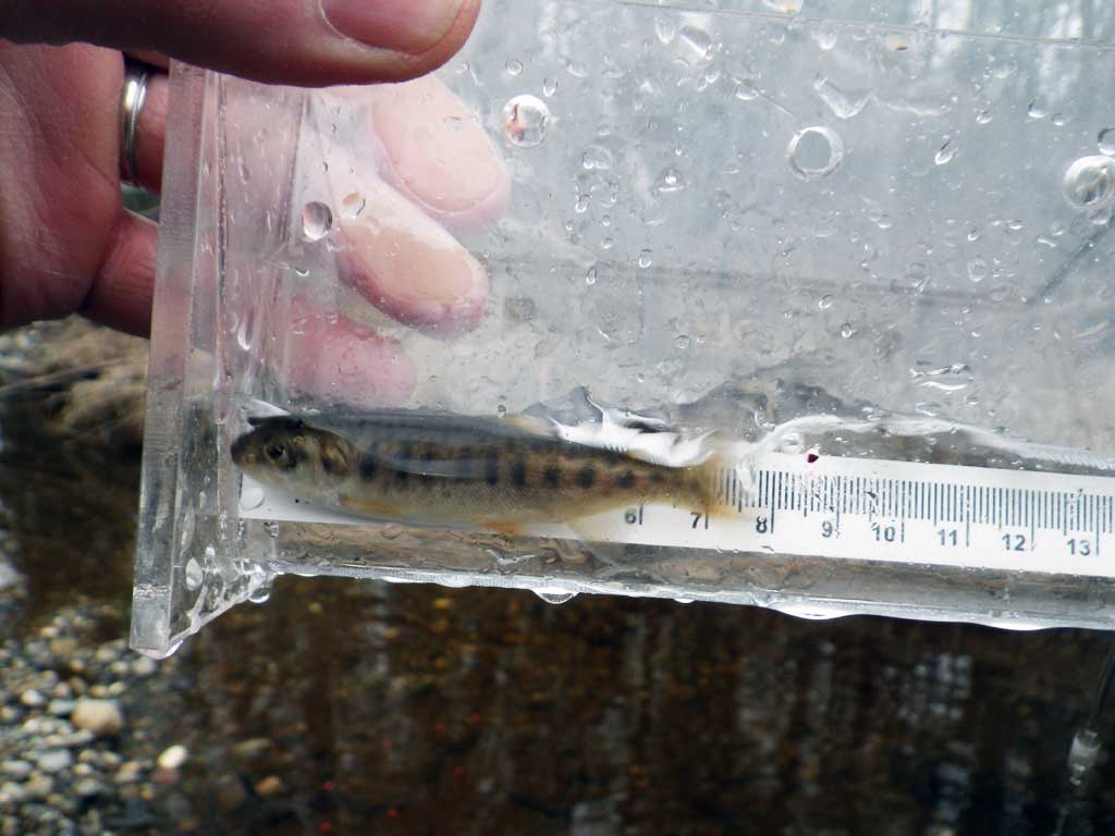
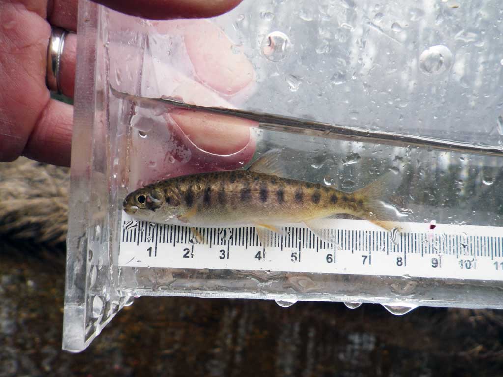
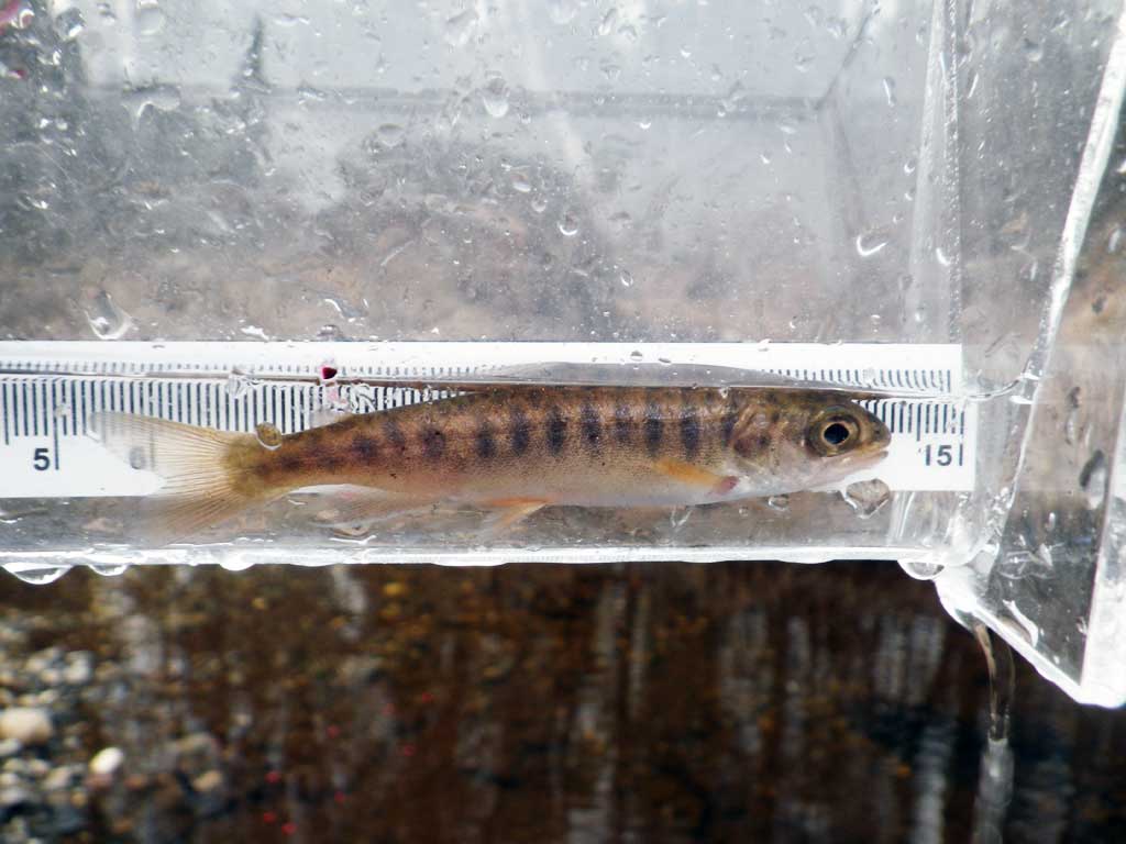
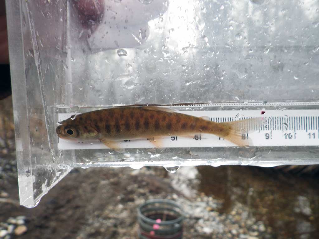
Fish Observations
| Species: juvenile coho salmon | Life History: Anadromous | ||
| Total Fish Observed: 2 | Fish Measured: 2 | Fork Lengths (mm) Min: 72 Max: 75 Mean: 73 | |
| Collected/Observed by Gear Type: Downstream Minnow Trap (2) | |||
Photos


Questions or comments about this report can be directed to dfg.dsf.webmaster@alaska.gov