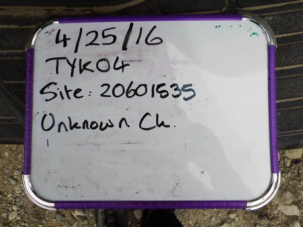
Fish Passage Site 20601535
Coordinates (dec. deg.): 61.06654°, -151.32612°
Legal Description: S011N012W01
Region: South Central
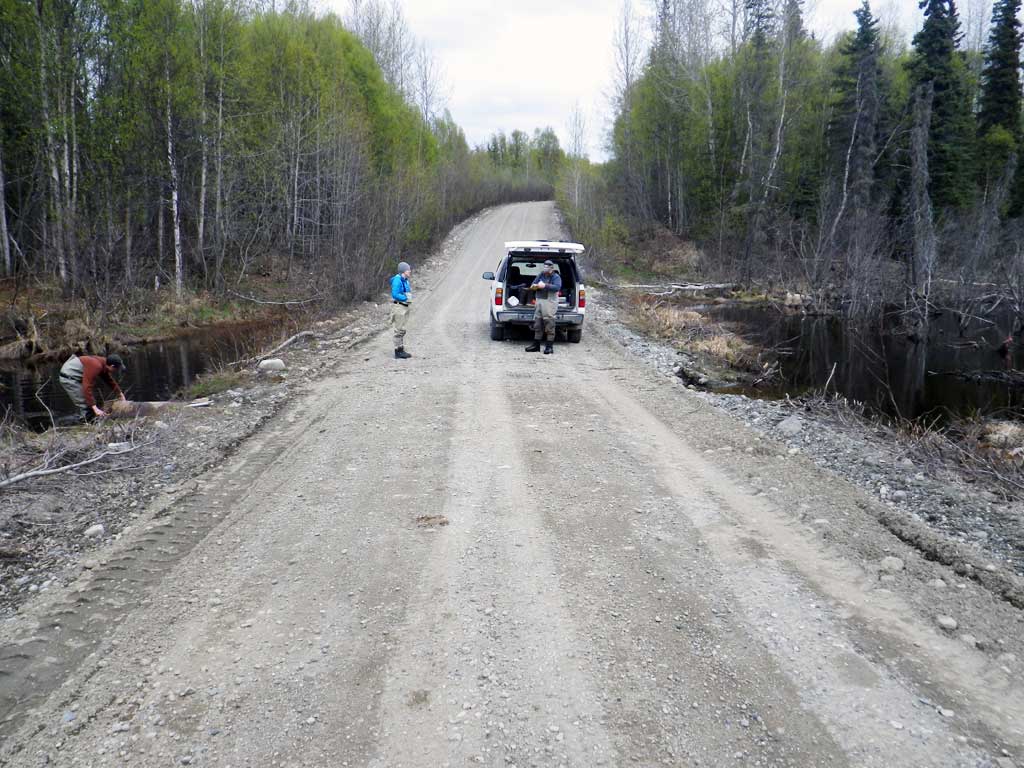
Road Name: Tyonek Timber Road
Datum: NAD83
Quad Name / ITM: Tyonek A-4
AWC Stream #:
Stream Name: Unnamed
Elevation:
Site Comments: None
arrow to the right of the survey date below to choose a different report for this site.
Survey UPDATE-TYK04
Project Supervisor: Gillian O'Doherty, ADFG
Observers: Mark Eisenman, Gillian O'Doherty, Robert Pype
Overall Fish Passage Rating:
Tidal: No
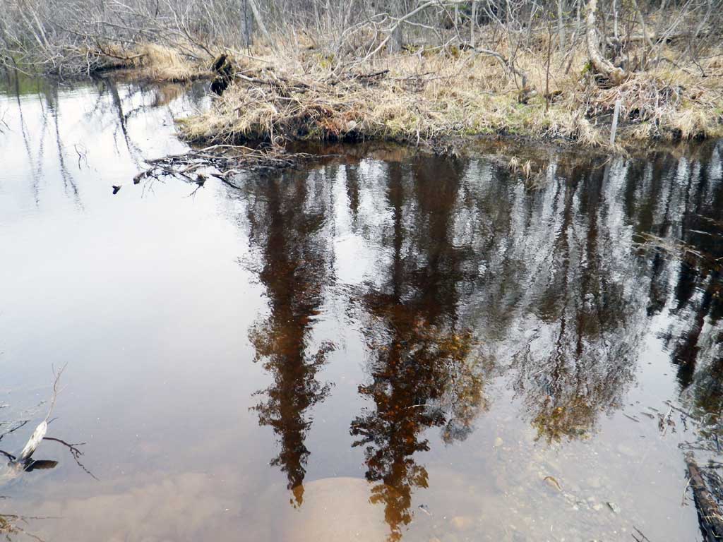
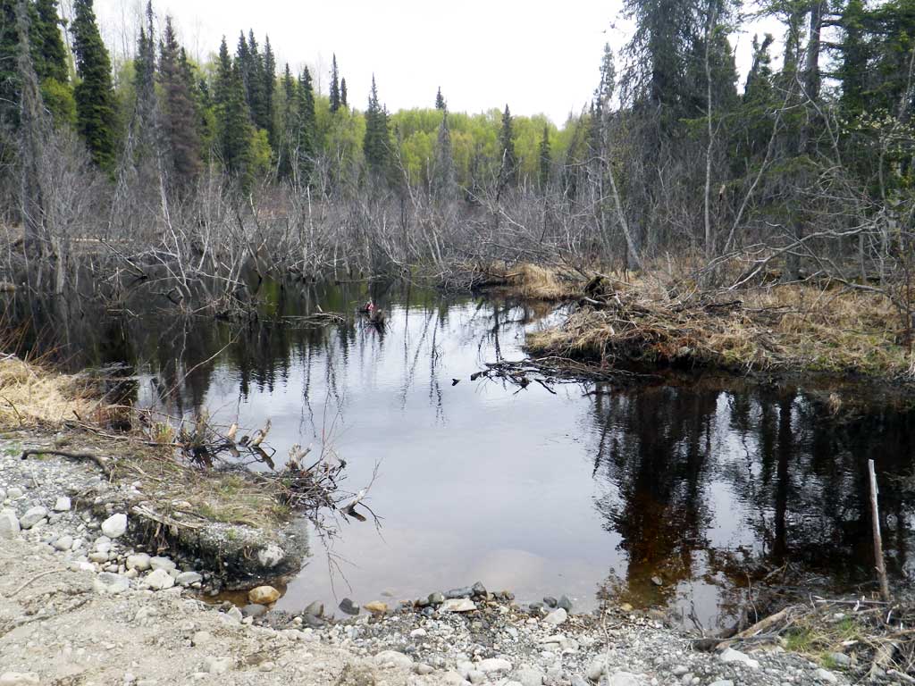
Backwatered: Yes
Step Pools: No
Construction Year:
Site Observations:
- Other, including vibrations, cavitation, etc.
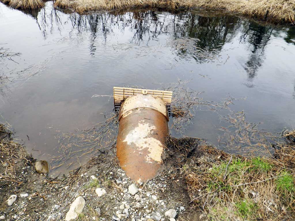
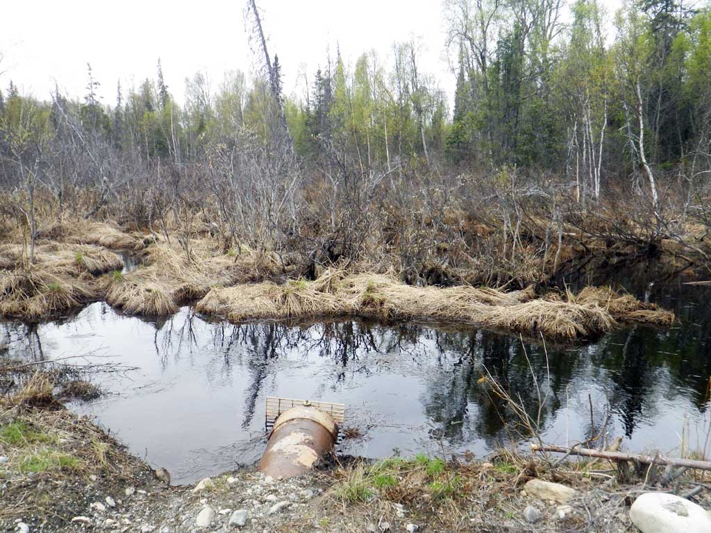
Comments: A grate has been added to the inlet since the original survey in 2002 and the outlet perch as been removed due to beaver damming downstream. The upstream grate was clogged with horsetail.
Culvert Measurements
| ID: 1 | Structure Type: Circular pipe (Non-corrugated metal) | Fish Passage Rating: | |||||||||||||||||||||||||||||||||||||||||
|
|
|
|||||||||||||||||||||||||||||||||||||||||
Comments: Beaver grate at inlet. Outlet is submerged. Ponded upstream and downstream from culvert. Water surface elevations equal upstream and downstream. Site is backwatered, but inlet grate causes a barrier. Overnight trapping caught no fish. |
|||||||||||||||||||||||||||||||||||||||||||
Culvert Observations:
|
|||||||||||||||||||||||||||||||||||||||||||
Stream Measurements
|
|
No stream width data available.
Elevations
| Locator ID | Culvert Number |
River Distance (ft)1 |
Distance From Crossing (ft)2 |
Relative Elevation (ft) |
|---|---|---|---|---|
| Road Elev | 100.43 | |||
| D/S Water Surface Elev | 0.00 | 99.18 | ||
| Outlet Invert | 0.00 | 97.80 | ||
| Outlet Culvert Top | 0.00 | 99.16 | ||
| Inlet Culvert Top | 31.50 | 99.78 | ||
| U/S Water Surface Elev | 32.00 | 99.18 | ||
| Inlet Culvert Invert (On substrate in front of beaver grate) | 32.00 | 97.91 |
Notes:
- River distance is measured continuously throughout the survey reach along the thalweg of the stream.
- Measured from each end of the crossing along the thalweg of the stream.
Fish Sampling Efforts
| Gear Type: Minnow Trap (A) | Trap Duration(h): 24.0 | |
| Comments: Trap set about 35 feet downstream. No fish caught | ||
Fish Observations
No fish observations occurred during this survey.
Photos

Questions or comments about this report can be directed to dfg.dsf.webmaster@alaska.gov