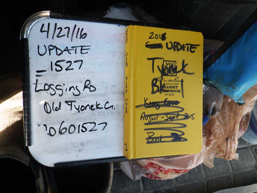
Fish Passage Site 20601527
Coordinates (dec. deg.): 61.06325°, -151.36644°
Legal Description: S011N012W11
Region: South Central
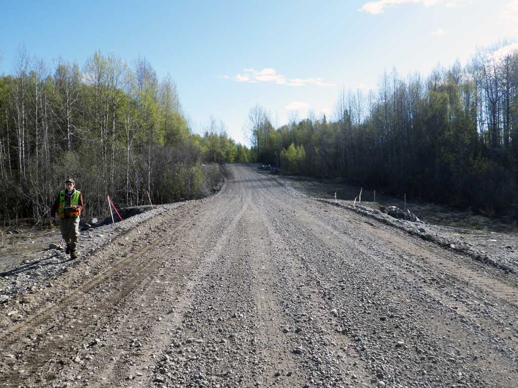
Road Name: Tyonek Timber Road
Datum: NAD83
Quad Name / ITM: Tyonek A-4
AWC Stream #:
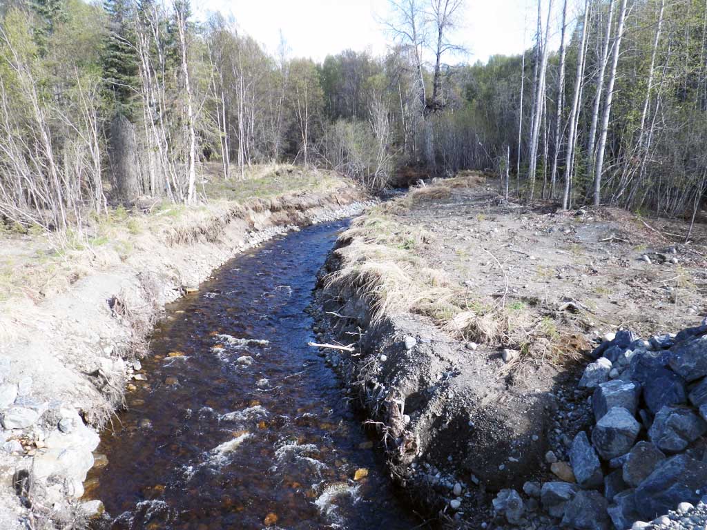
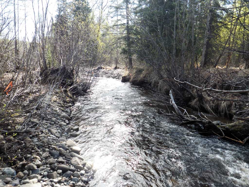
Stream Name: Old Tyonek Creek
Elevation:
Site Comments: AKA Roberts Creek
arrow to the right of the survey date below to choose a different report for this site.
Survey UPDATE-TY001
Project Supervisor: Gillian O'Doherty, ADFG
Observers: Mark Eisenman, Robert Pype
Overall Fish Passage Rating:
Tidal: No
Backwatered: No
Step Pools: No
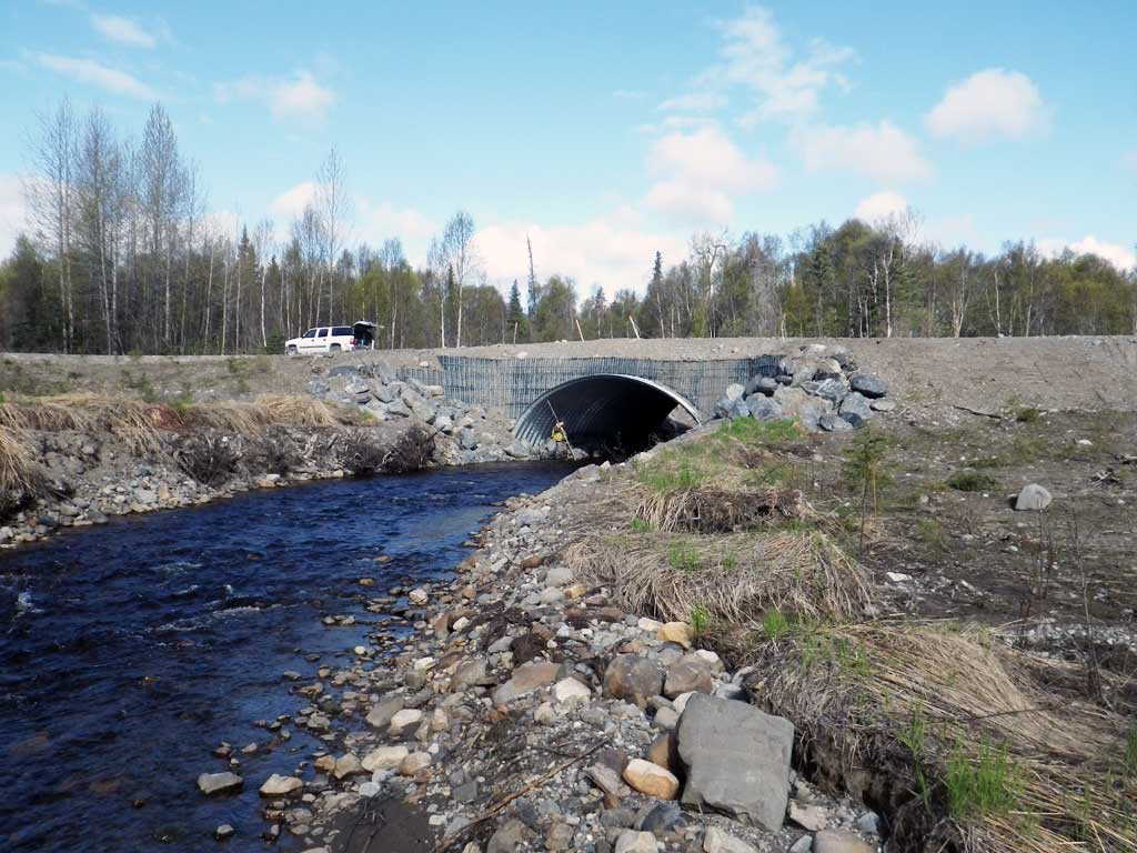
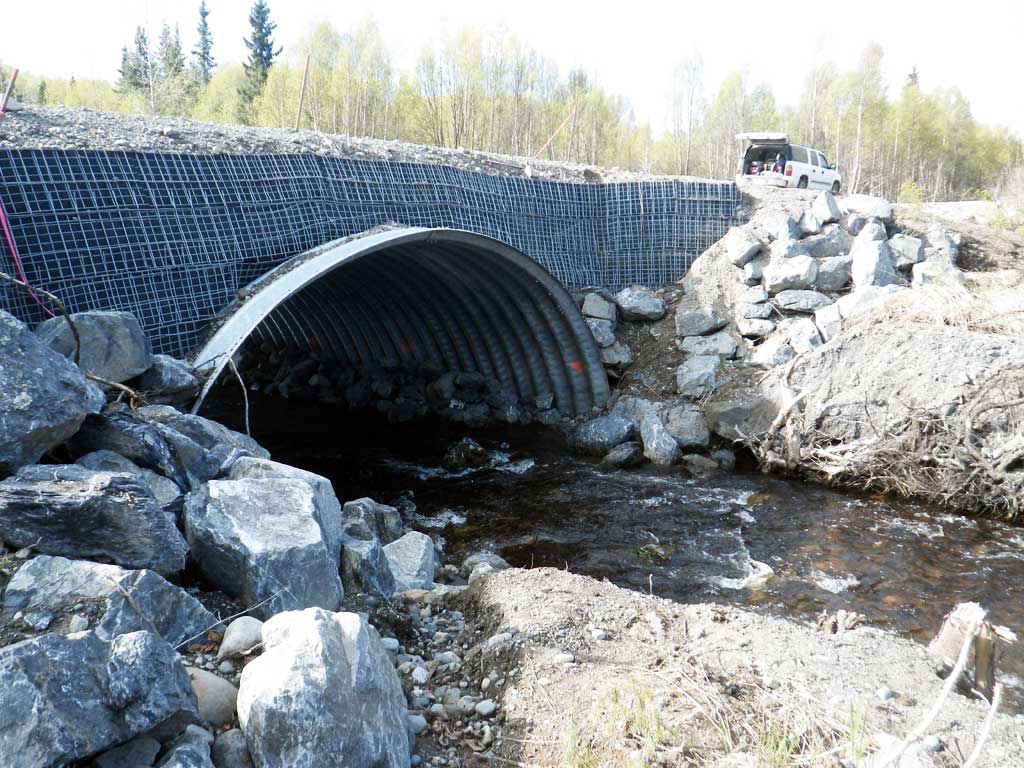
Construction Year: 2015
Site Observations:
- None of this type
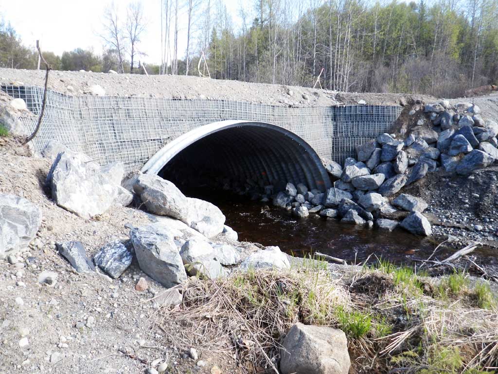
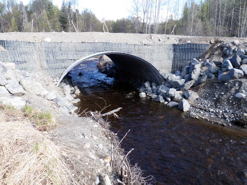
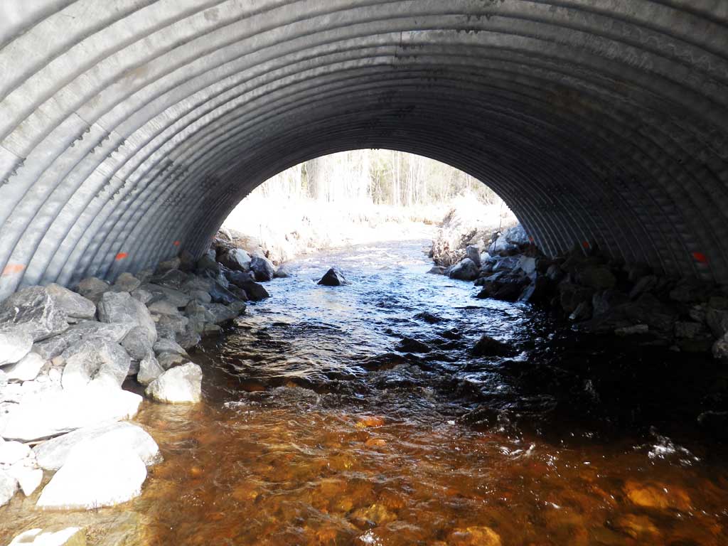
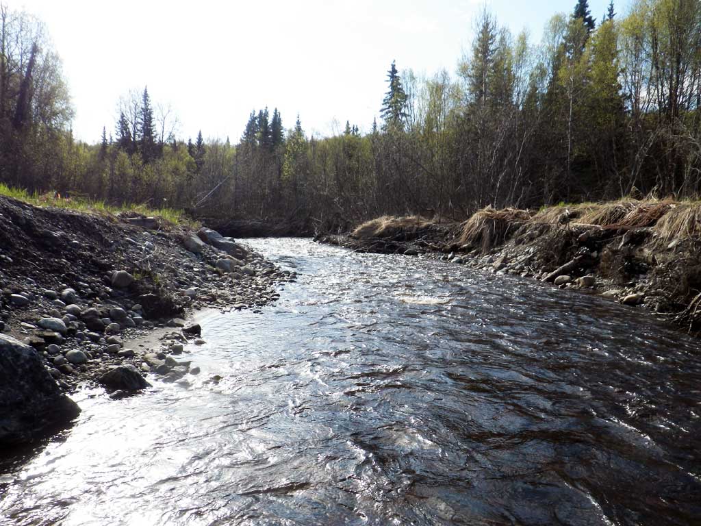
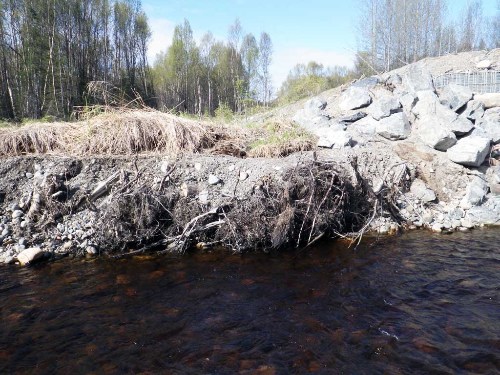
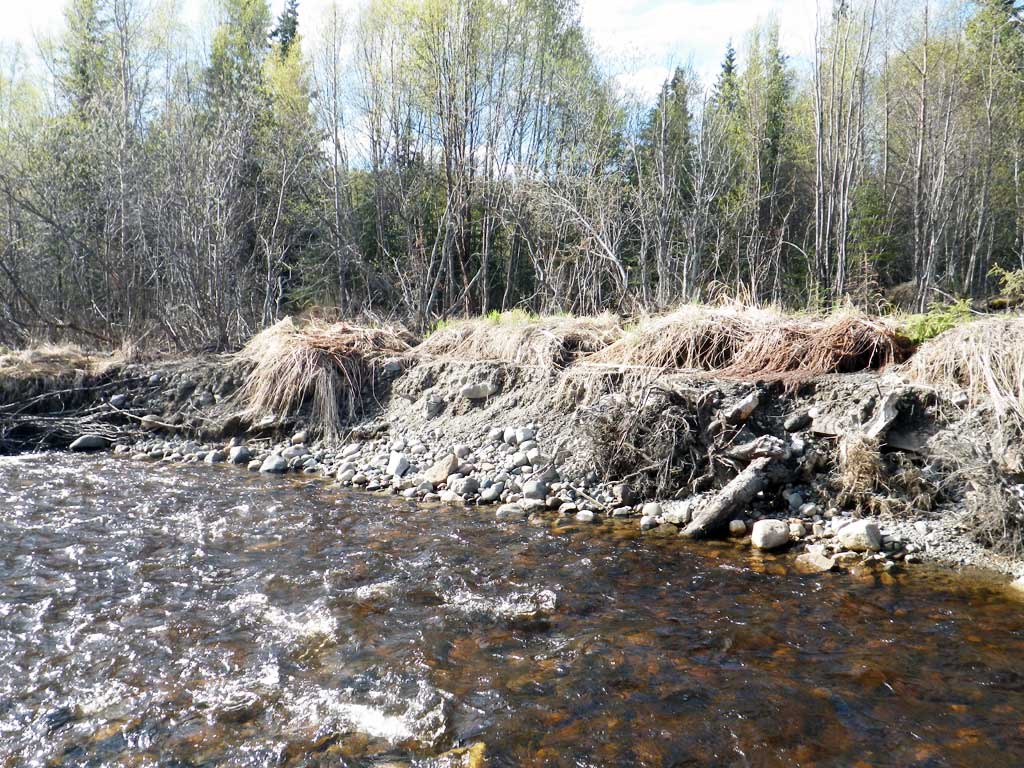
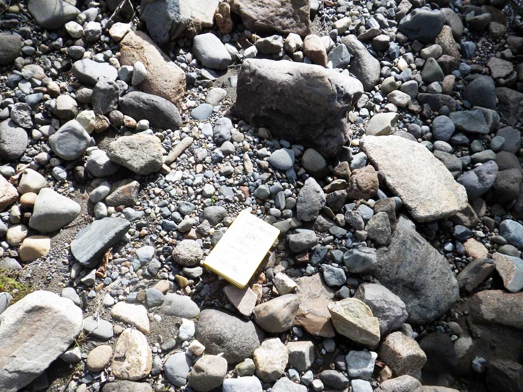
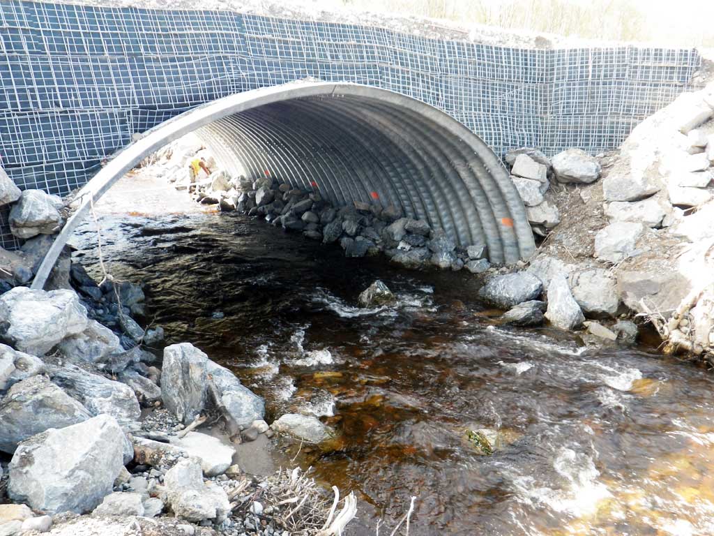
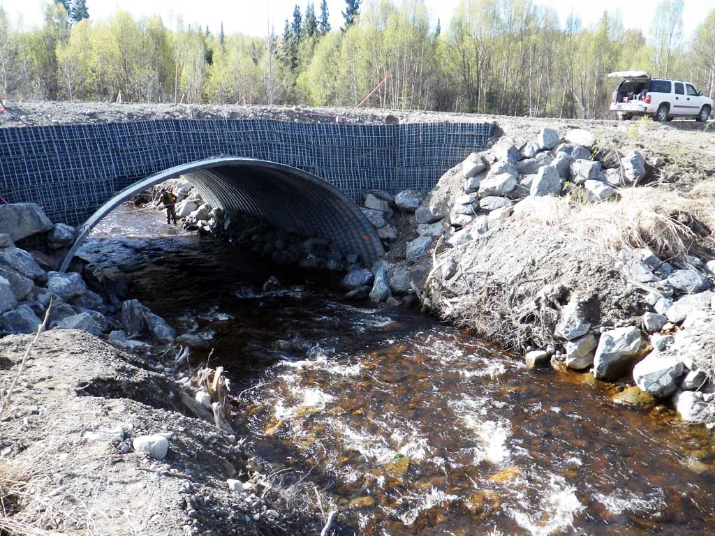
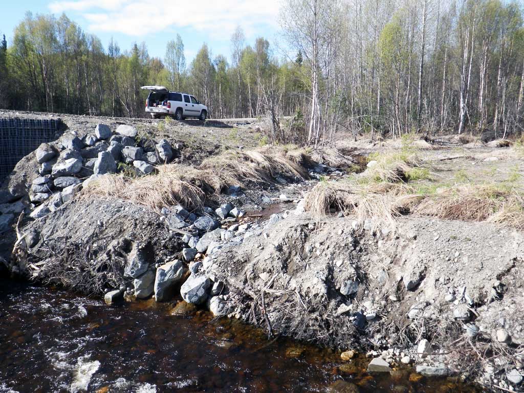
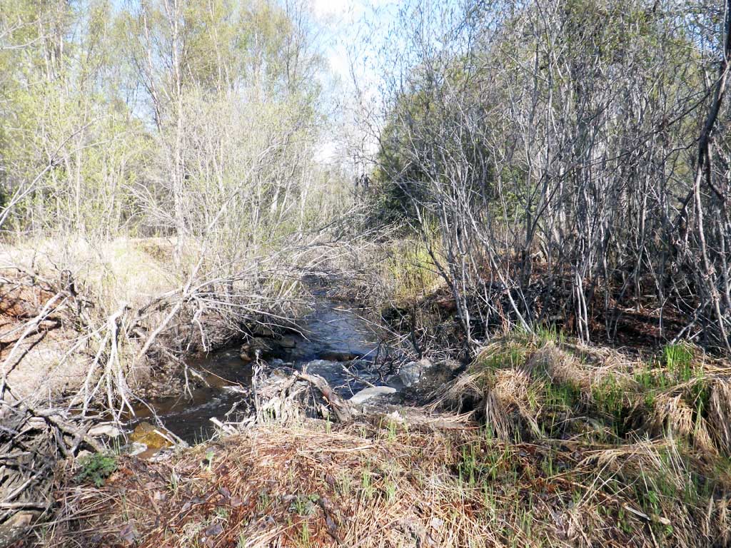
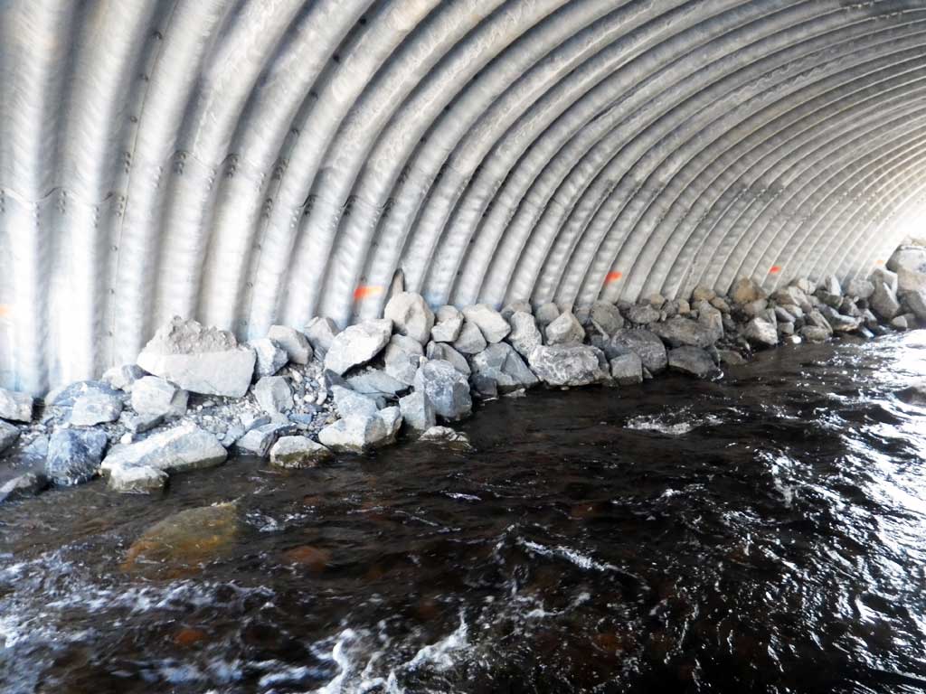
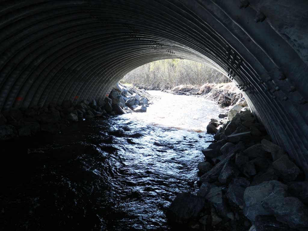
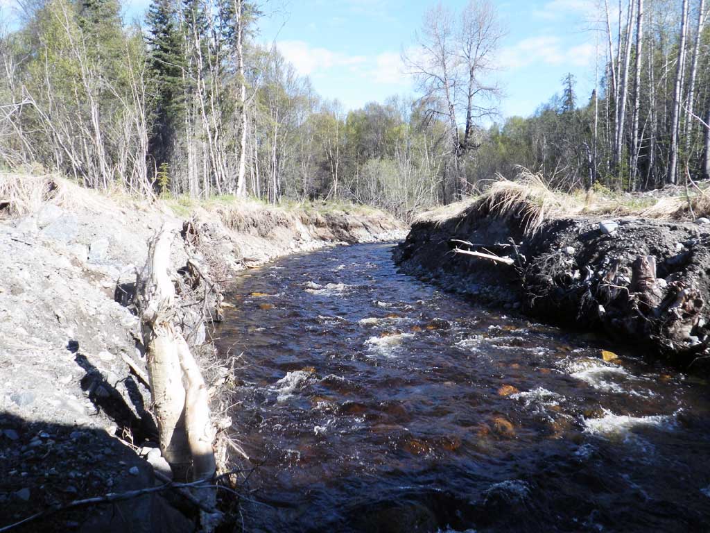
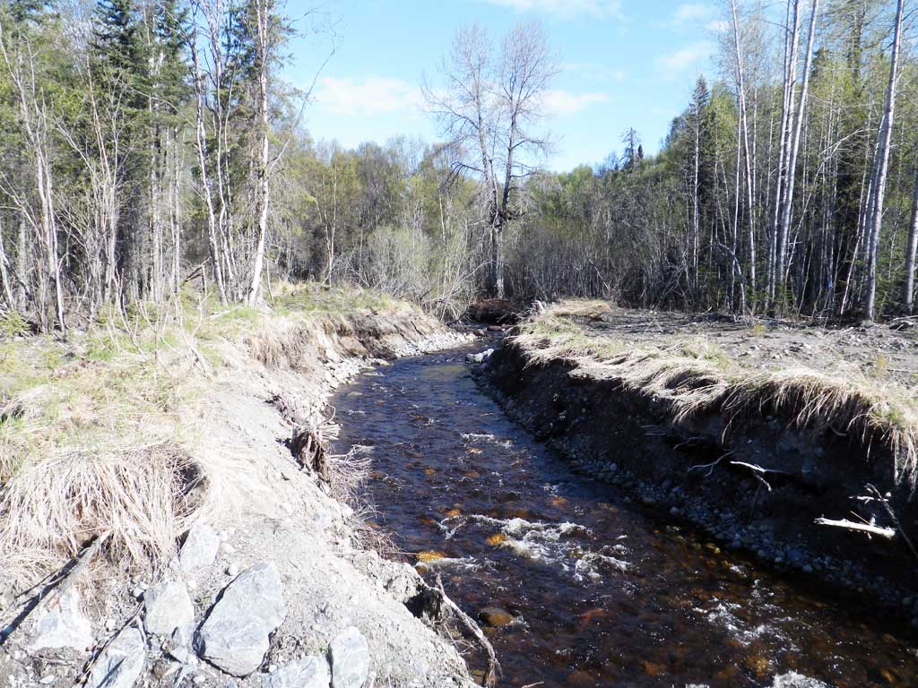
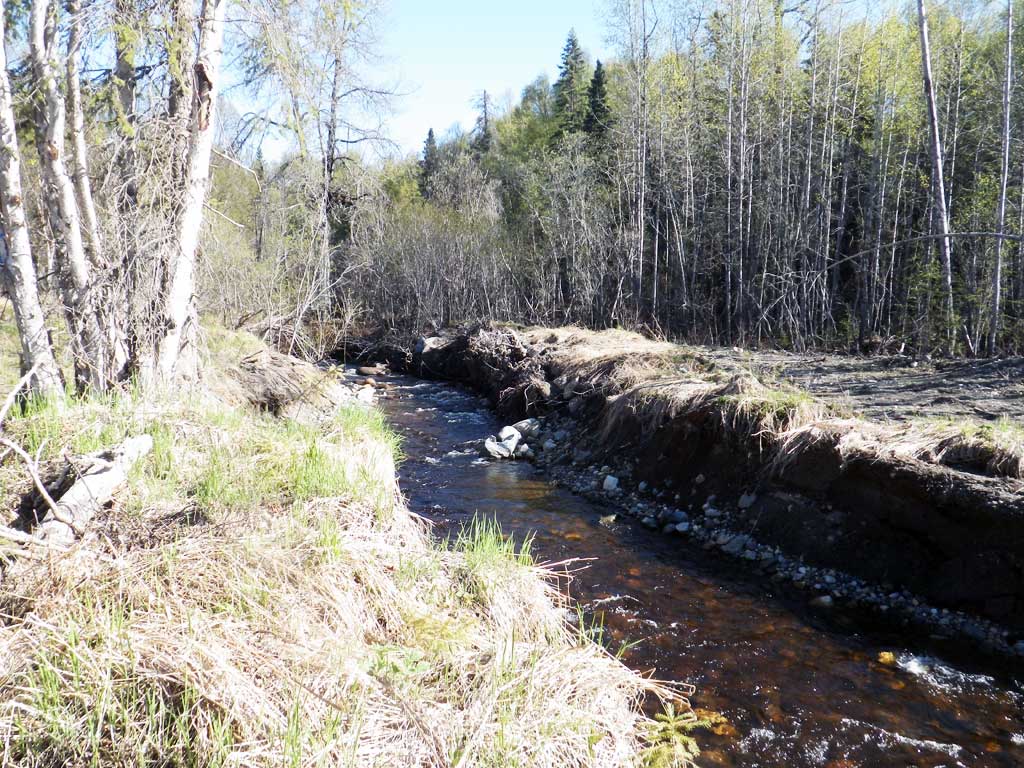
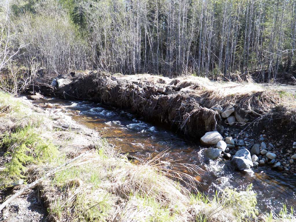
Comments: Site looks good. Upstream root wads appear to have been set too high and are starting to be under cut. No traps set, no fish observed. Long profile used the site's permanent benchmark for elevations
Culvert Measurements
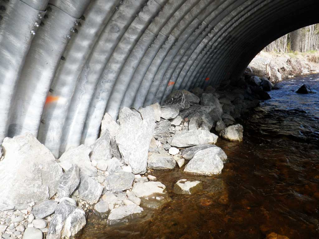
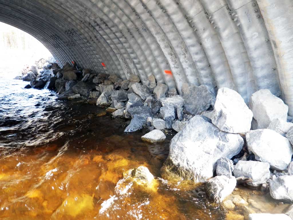
| ID: 1 | Structure Type: Open-bottom arch (Structural steel plate) | Fish Passage Rating: | |||||||||||||||||||||||||||||||||||||||||
|
|
|
|||||||||||||||||||||||||||||||||||||||||
Culvert Observations:
|
|||||||||||||||||||||||||||||||||||||||||||
Stream Measurements
|
|
No stream width data available.
Elevations
| Locator ID | Culvert Number |
River Distance (ft)1 |
Distance From Crossing (ft)2 |
Relative Elevation (ft) |
|---|---|---|---|---|
| Road Elev | 113.34 | |||
| D/S Thalweg (End of constructed outlet reach) | 0.00 | 95.72 | ||
| D/S Water Surface Elev | 0.00 | 97.16 | ||
| D/S Thalweg (Middle of constructed outlet reach) | 65.00 | 97.02 | ||
| D/S Water Surface Elev | 65.00 | 98.09 | ||
| D/S Water Surface Elev | 115.00 | 98.64 | ||
| Outlet Invert (On substrate) | 115.00 | 97.60 | ||
| Outlet Culvert Top | 115.00 | 108.81 | ||
| Inlet Culvert Top | 159.40 | 109.67 | ||
| Inlet Culvert Invert (On substrate, 1st resting habitat) | 159.40 | 98.01 | ||
| U/S Water Surface Elev | 159.40 | 98.89 | ||
| U/S Thalweg (Middle of upstream constructed reach) | 254.40 | 99.42 | ||
| U/S Water Surface Elev | 254.40 | 100.17 | ||
| U/S Thalweg (End of upstream constructed reach) | 339.40 | 100.79 | ||
| U/S Water Surface Elev | 339.40 | 102.17 |
Notes:
- River distance is measured continuously throughout the survey reach along the thalweg of the stream.
- Measured from each end of the crossing along the thalweg of the stream.
Fish Sampling Efforts
No fish sampling occurred during this survey.
Fish Observations
No fish observations occurred during this survey.
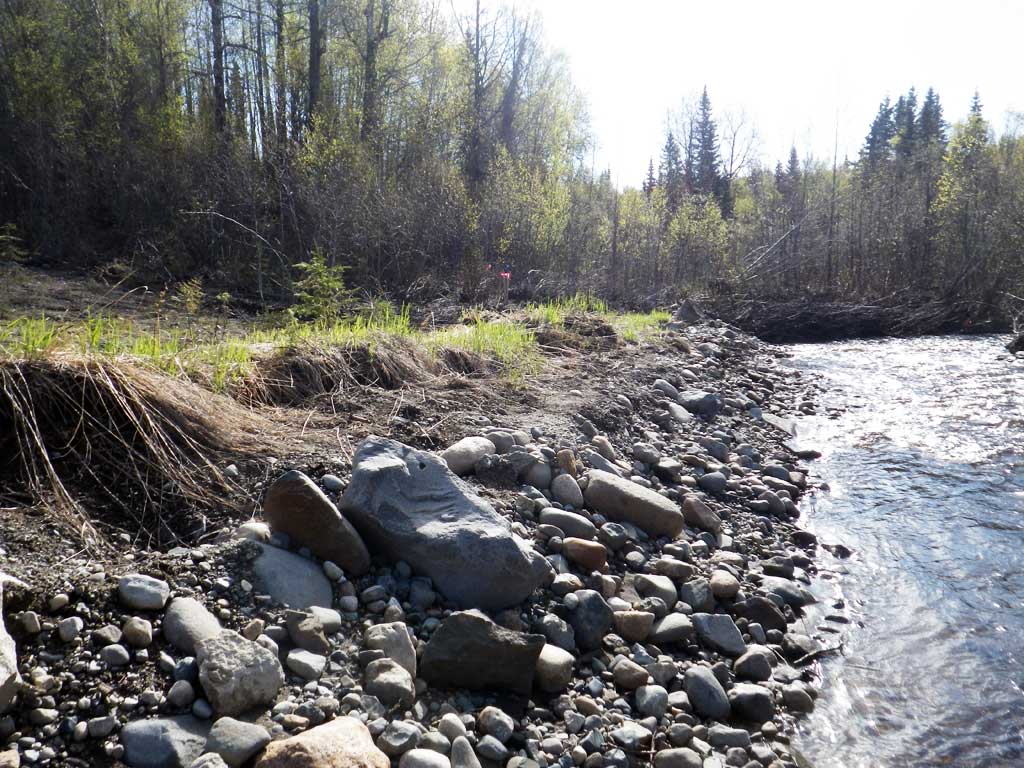
Photos


Questions or comments about this report can be directed to dfg.dsf.webmaster@alaska.gov