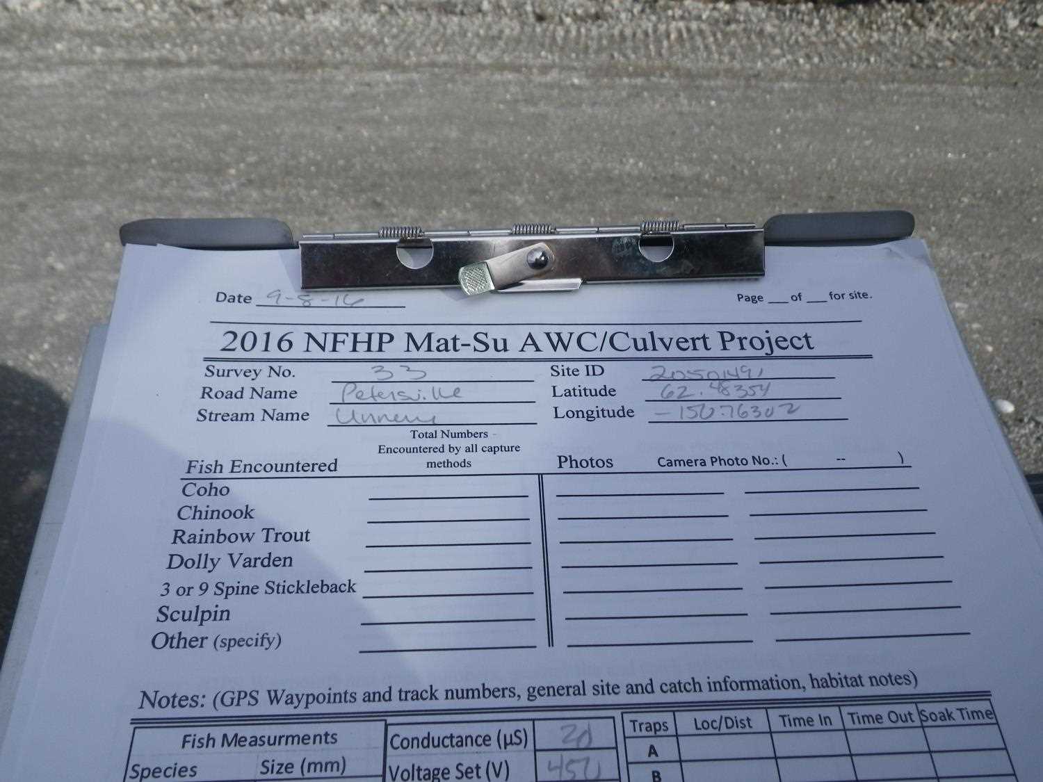
Fish Passage Site 20503912
Coordinates (dec. deg.): 62.48354°, -150.76302°
Legal Description: S028N008W28
Region: South Central
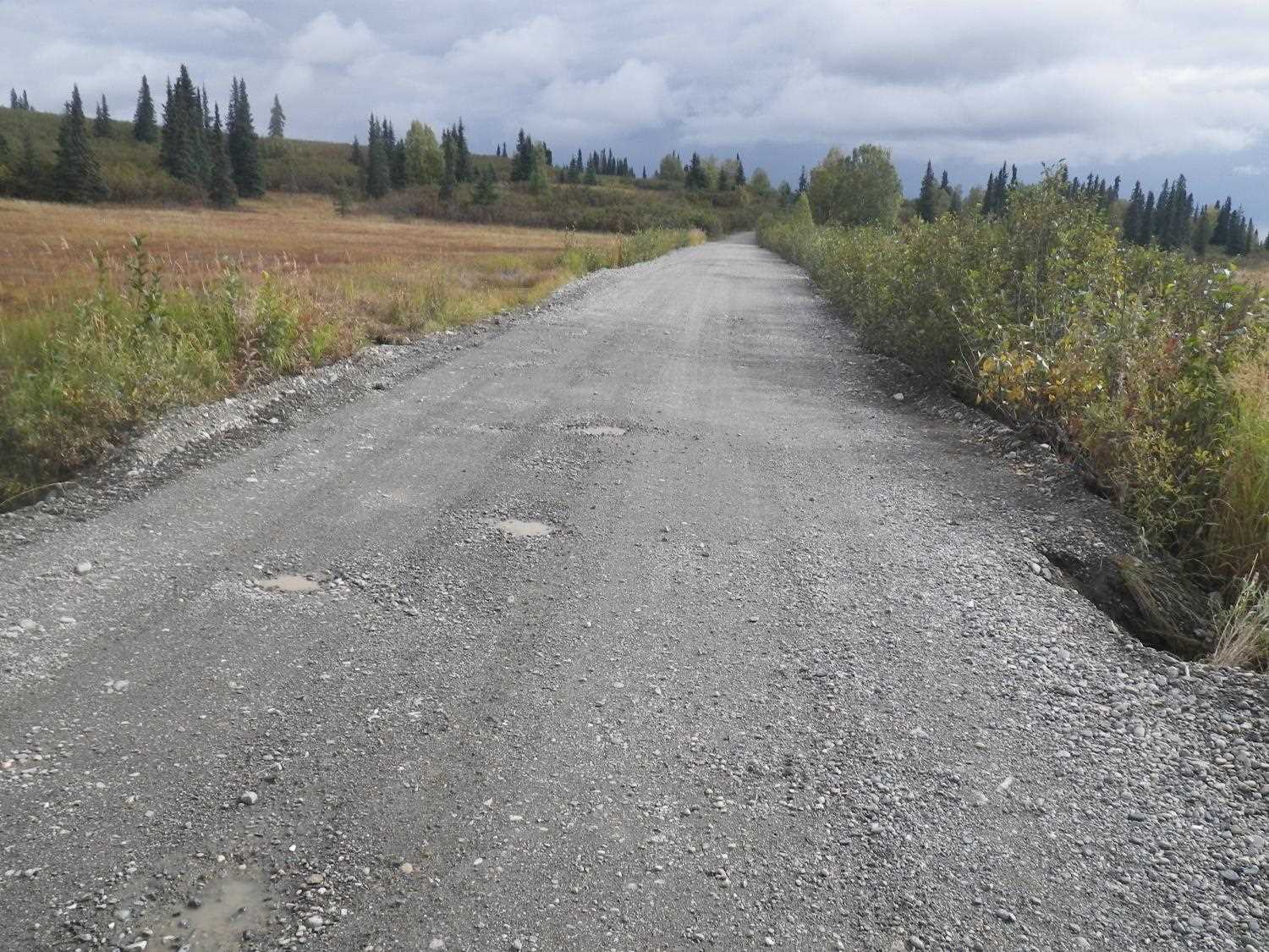
Road Name: Petersville Road
Datum: NAD83
Quad Name / ITM: Talkeetna B-2
AWC Stream #:
Stream Name: Unnamed
Elevation:
Site Comments: None
Survey UPDATE-PVR01
Project Supervisor: Gillian O'Doherty, ADFG
Observers: Mark Eisenman
Overall Fish Passage Rating:
Tidal: No
Backwatered: No
Step Pools: No
Construction Year:
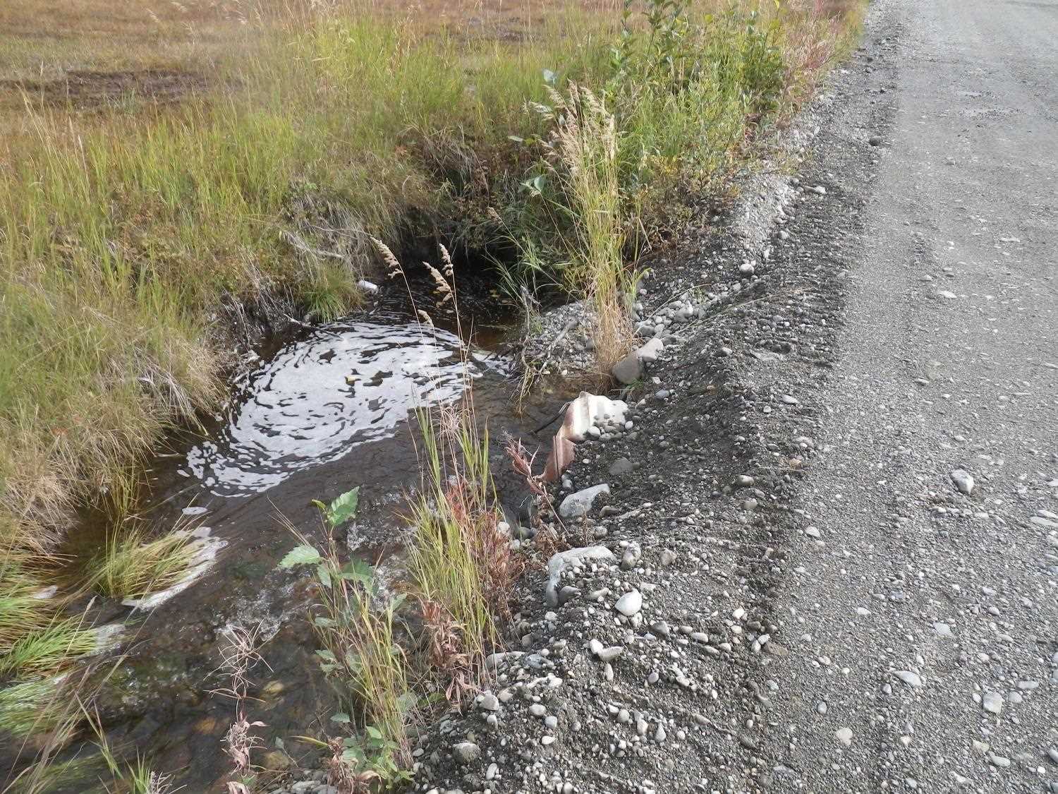
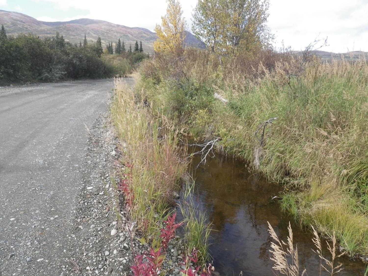
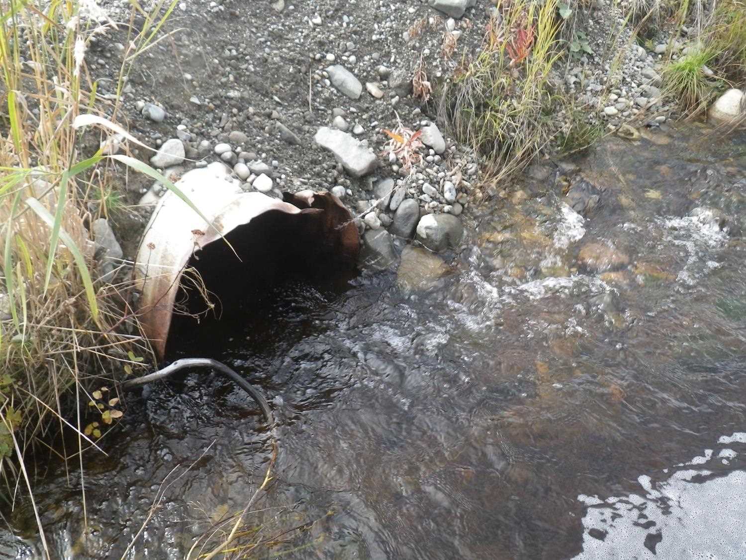
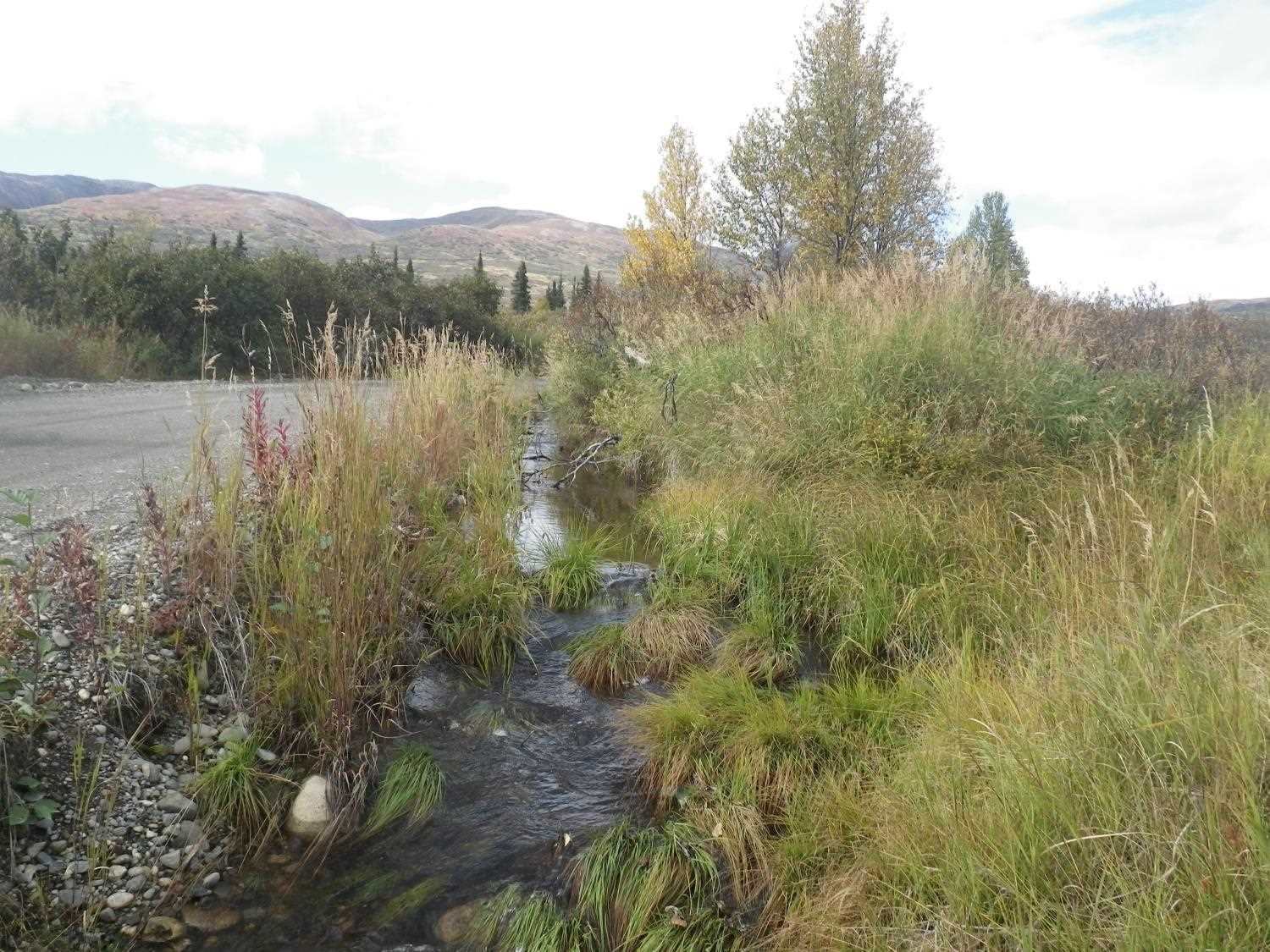
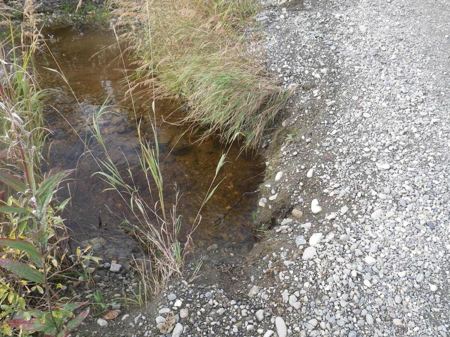
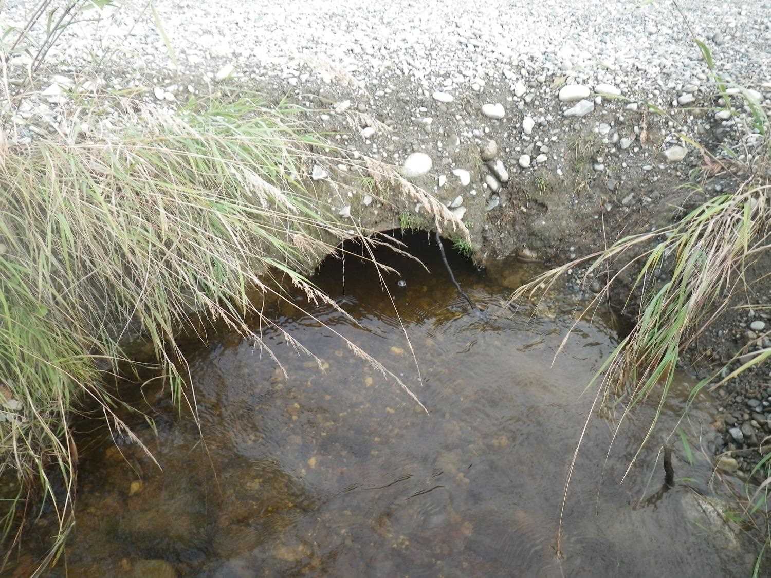
Comments: Culvert site 20501491 has been plugged by a beaver and the stream has been diverted down to this previously unassessed crossing. Electro fished upstream and downstream of culvert no fish encountered. Site visited 9/8/16 as part of the 2016 Sampling Unmapped Streams in the MSB project.
Culvert Measurements
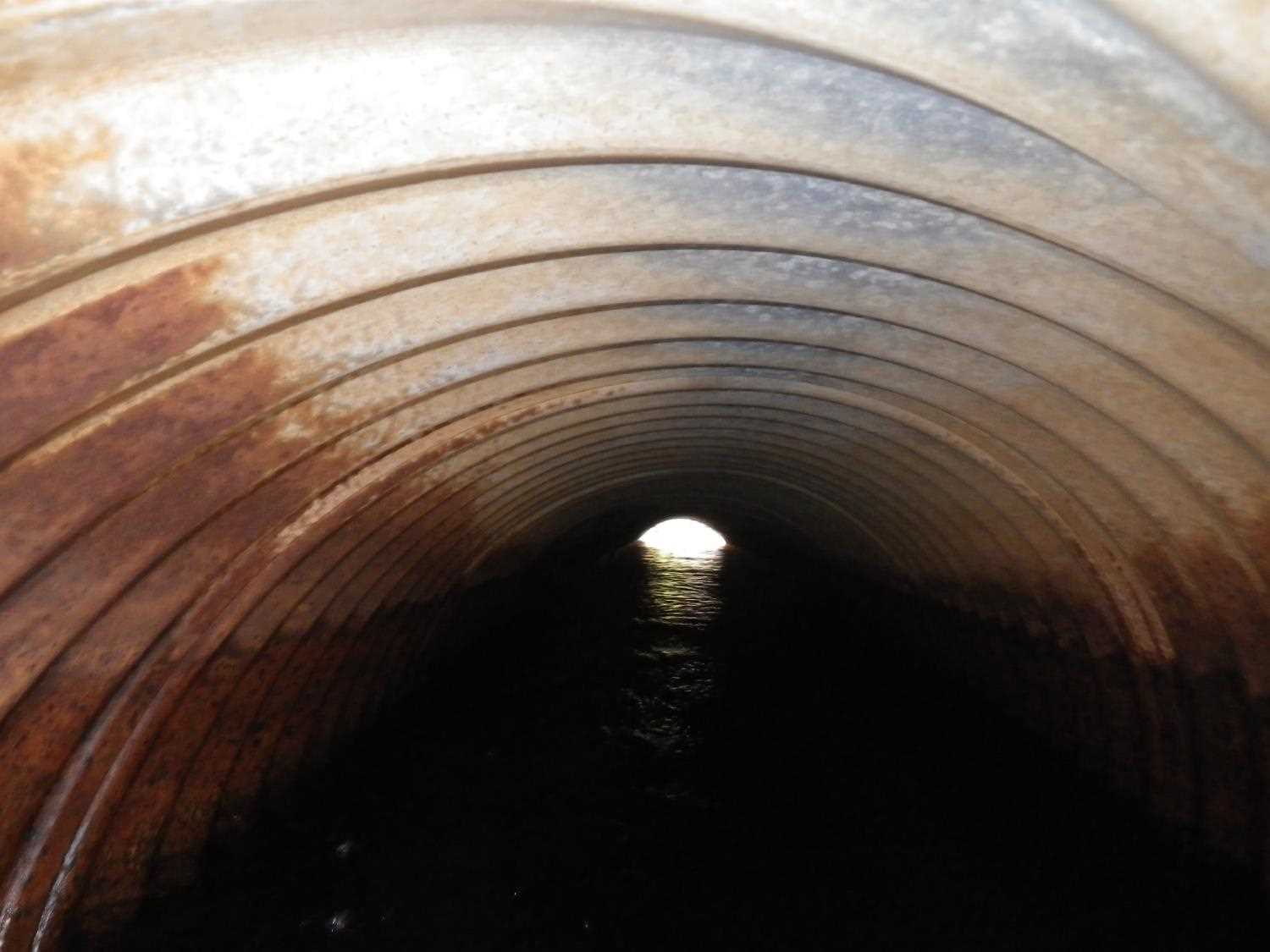
| ID: 1 | Structure Type: Circular pipe (Corrugated steel) | Fish Passage Rating: | |||||||||||||||||||||||||||||||||||||||||
|
|
|
|||||||||||||||||||||||||||||||||||||||||
Stream Measurements
|
|
No stream width data available.
Elevations
No elevation data available.
Fish Sampling Efforts
| Gear Type: Smith-Root LR-24 (A) | ||
| Comments: No fish encountered. | ||
Fish Observations
No fish observations occurred during this survey.
Photos
Questions or comments about this report can be directed to dfg.dsf.webmaster@alaska.gov