Fish Passage Site 20503483
Coordinates (dec. deg.): 61.32535°, -150.85535°
Legal Description: S014N009W03
Region: South Central
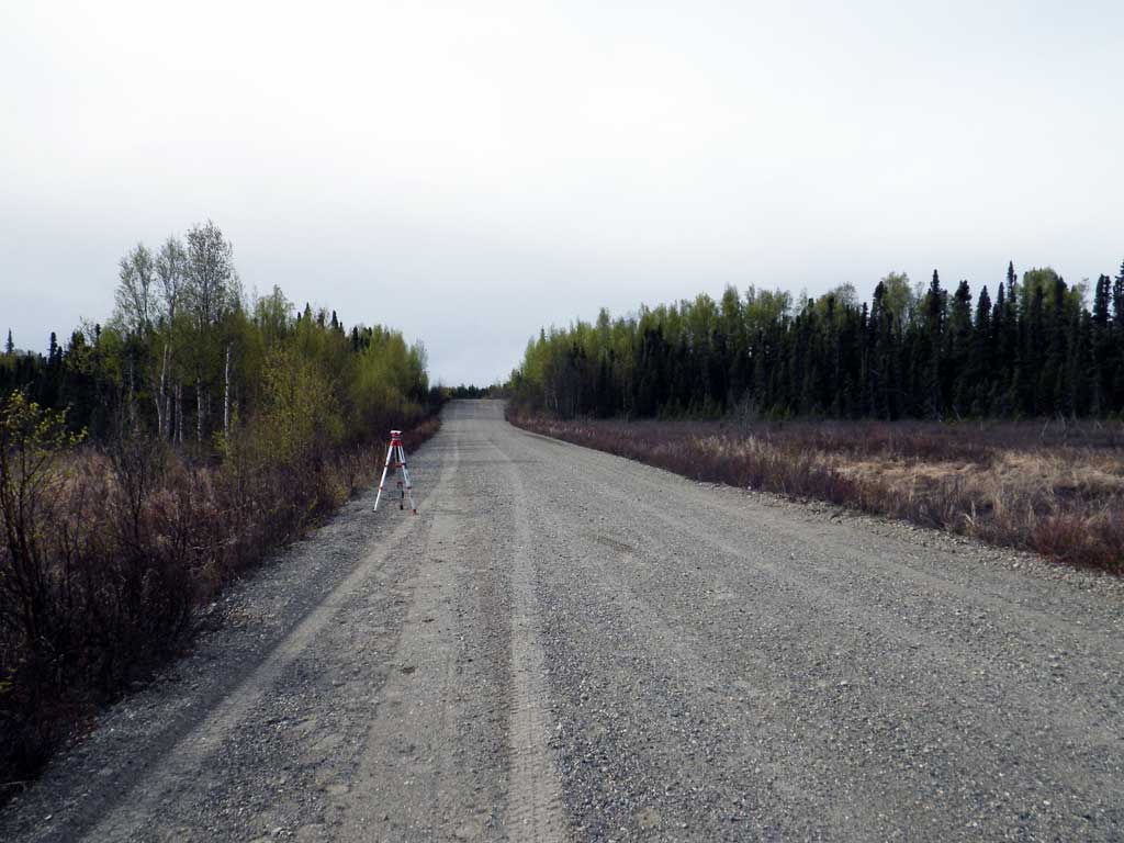
Road Name: Beluga Highway
Datum: NAD83
Quad Name / ITM: Tyonek B-3
AWC Stream #:
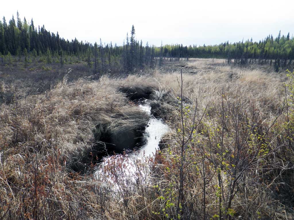
Stream Name: Unnamed Tributary to Lewis River
Elevation:
Site Comments: None
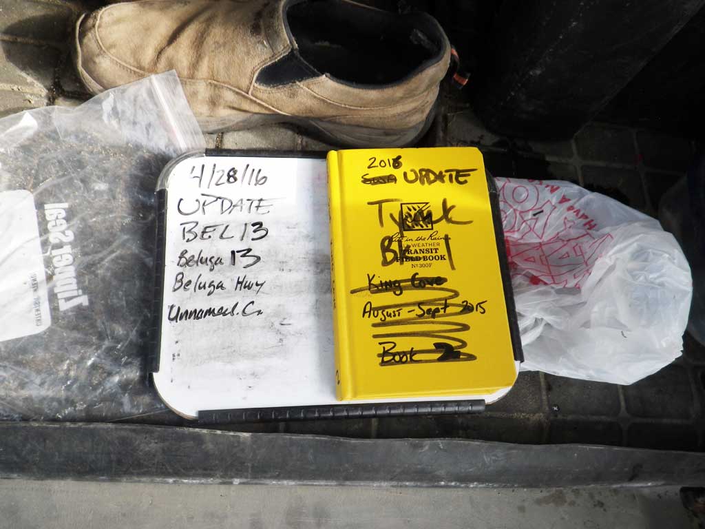
Survey UPDATE-BEL13
Project Supervisor: Gillian O'Doherty, ADFG
Observers: Mark Eisenman, Robert Pype
Overall Fish Passage Rating:
Tidal:
Backwatered:
Step Pools:
Construction Year:
Site Observations:
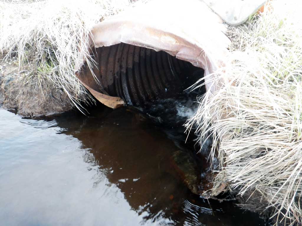
- Constriction ratio red
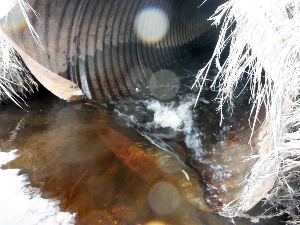
- Inlet perch
- Beaver Activity
- Structural Problem
- Mechanical damage or joints parting
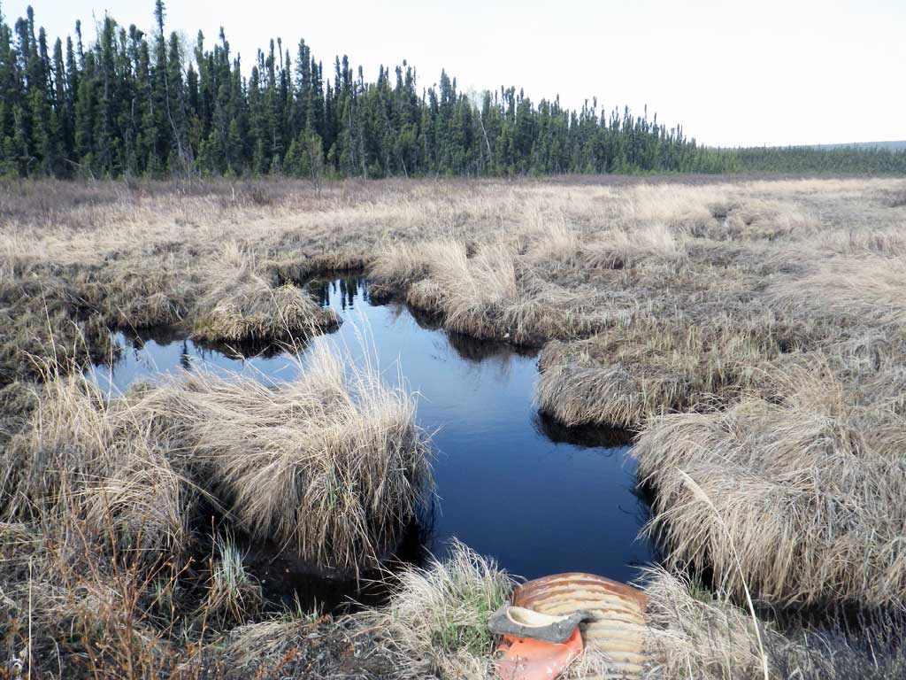
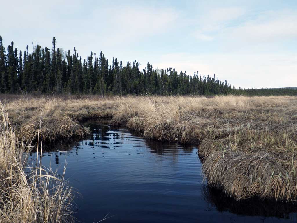
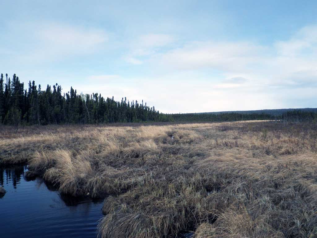
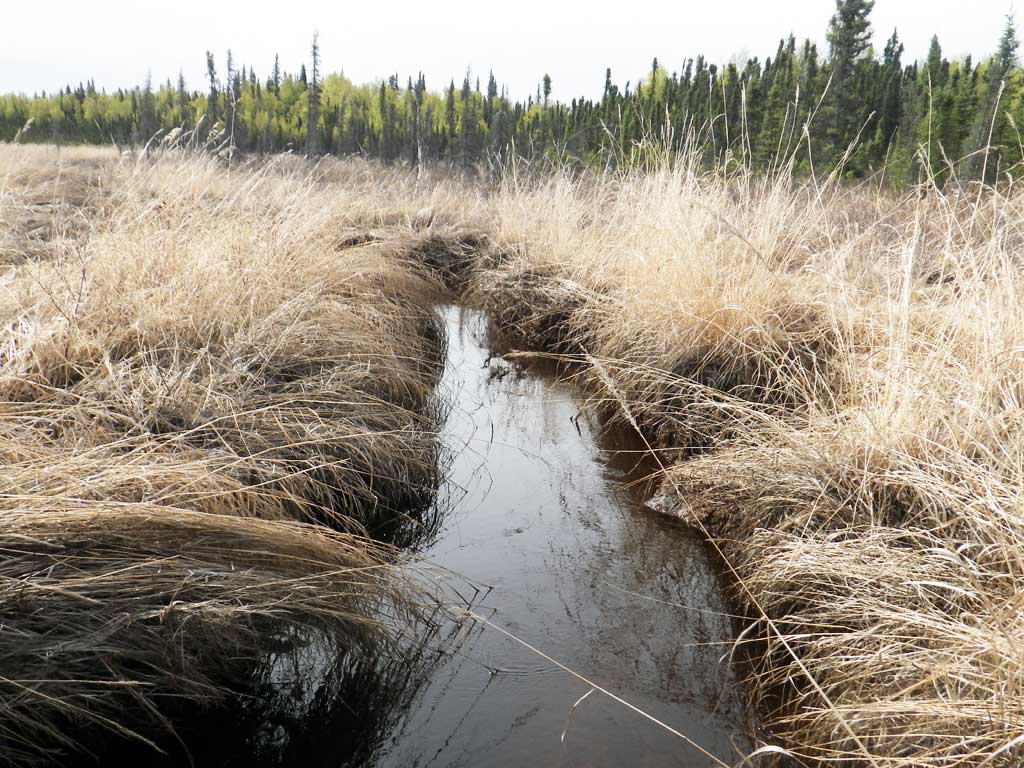
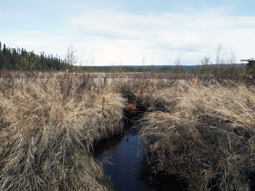
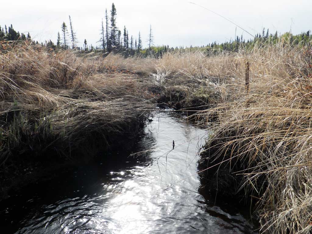
Comments: Old beaver pond upstream. Nice gravels downstream, lots of pools.
Culvert Measurements
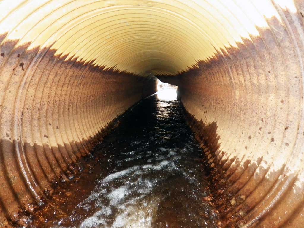
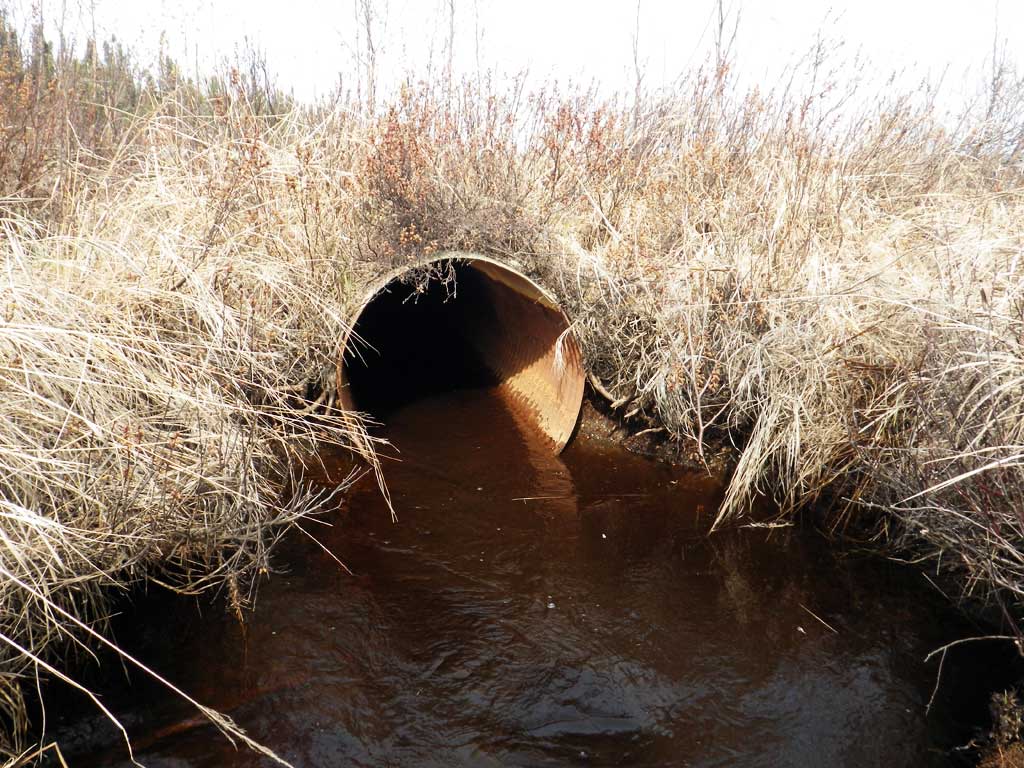
| ID: 1 | Structure Type: Circular pipe (Corrugated steel) | Fish Passage Rating: | |||||||||||||||||||||||||||||||||||||||||
|
|
|
|||||||||||||||||||||||||||||||||||||||||
Comments: Culvert invert bent up and creating an inlet perch. |
|||||||||||||||||||||||||||||||||||||||||||
Culvert Observations:
|
|||||||||||||||||||||||||||||||||||||||||||
Stream Measurements
|
|
| Stream Width Type | Distance From Crossing (ft) |
Stream Width (ft) |
|---|---|---|
| Downstream ordinary high water | 30.0 | 6.40 |
| Downstream ordinary high water | 50.0 | 6.60 |
| Downstream ordinary high water | 100.0 | 7.50 |
Elevations
| Locator ID | Culvert Number |
River Distance (ft)1 |
Distance From Crossing (ft)2 |
Relative Elevation (ft) |
|---|---|---|---|---|
| Road Elev | 98.40 | |||
| Outlet Culvert Top | 0.00 | 97.07 | ||
| Outlet Invert (On pipe) | 0.00 | 94.01 | ||
| D/S Water Surface Elev | 0.00 | 94.55 | ||
| Inlet Culvert Invert (Damaged, bent up) | 40.00 | 94.81 | ||
| U/S Water Surface Elev | 40.00 | 95.09 | ||
| Inlet Culvert Top | 40.00 | 97.24 |
Notes:
- River distance is measured continuously throughout the survey reach along the thalweg of the stream.
- Measured from each end of the crossing along the thalweg of the stream.
Fish Sampling Efforts
| Gear Type: Minnow Trap (A) | Trap Duration(h): 24.0 | |
| Comments: Trap set about 40 feet downstream of inlet | ||
Fish Observations
| Species: adult ninespine stickleback | Life History: Unknown | ||
| Total Fish Observed: 2 | Fish Measured: | Fork Lengths (mm) Min: Max: Mean: | |
| Collected/Observed by Gear Type: Downstream Minnow Trap (2) | |||
| Species: adult threespine stickleback | Life History: Unknown | ||
| Total Fish Observed: 2 | Fish Measured: | Fork Lengths (mm) Min: Max: Mean: | |
| Collected/Observed by Gear Type: Downstream Minnow Trap (2) | |||
Photos

Questions or comments about this report can be directed to dfg.dsf.webmaster@alaska.gov