Fish Passage Site 20503477
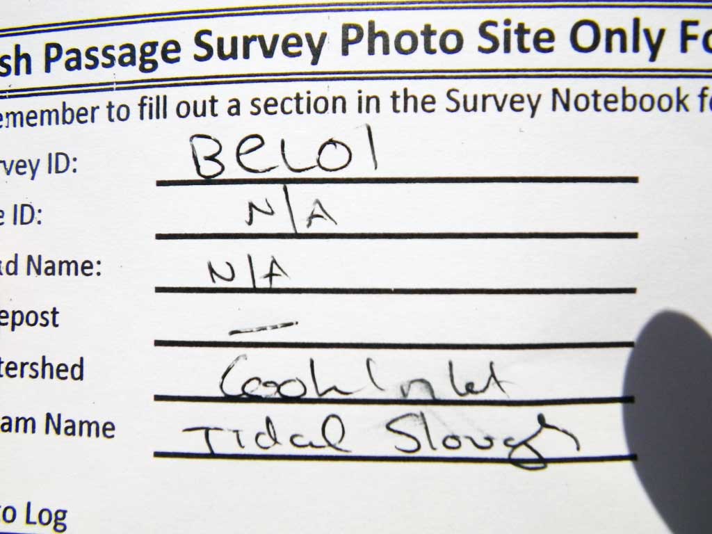
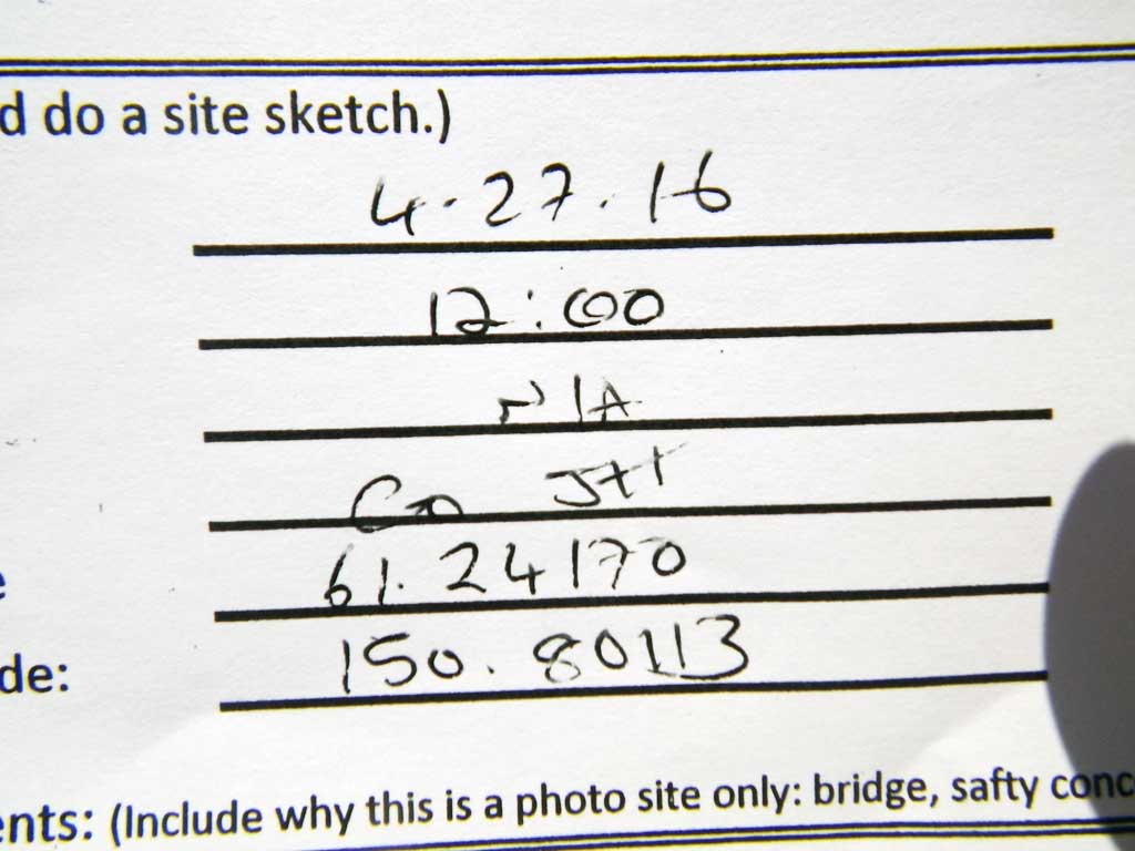
Coordinates (dec. deg.): 61.24170°, -150.80113°
Legal Description: S013N009W01
Region: South Central
Road Name:
Datum: NAD83
Quad Name / ITM: Tyonek A-3
AWC Stream #:
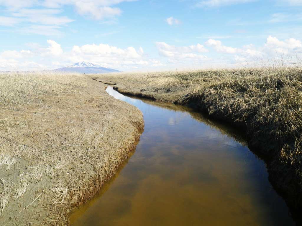
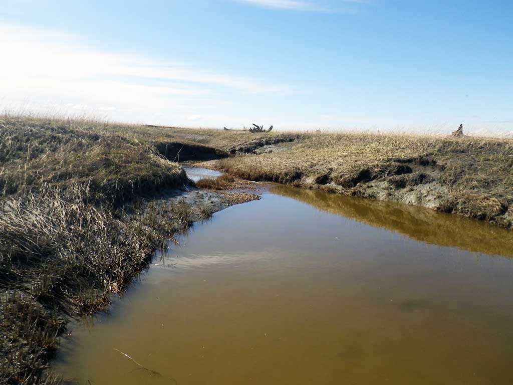
Stream Name: Unnamed Tributary to Lewis River
Elevation:
Site Comments: None
Survey UPDATE-BEL01
Project Supervisor: Gillian O'Doherty, ADFG
Observers: Gillian O'Doherty
Overall Fish Passage Rating:
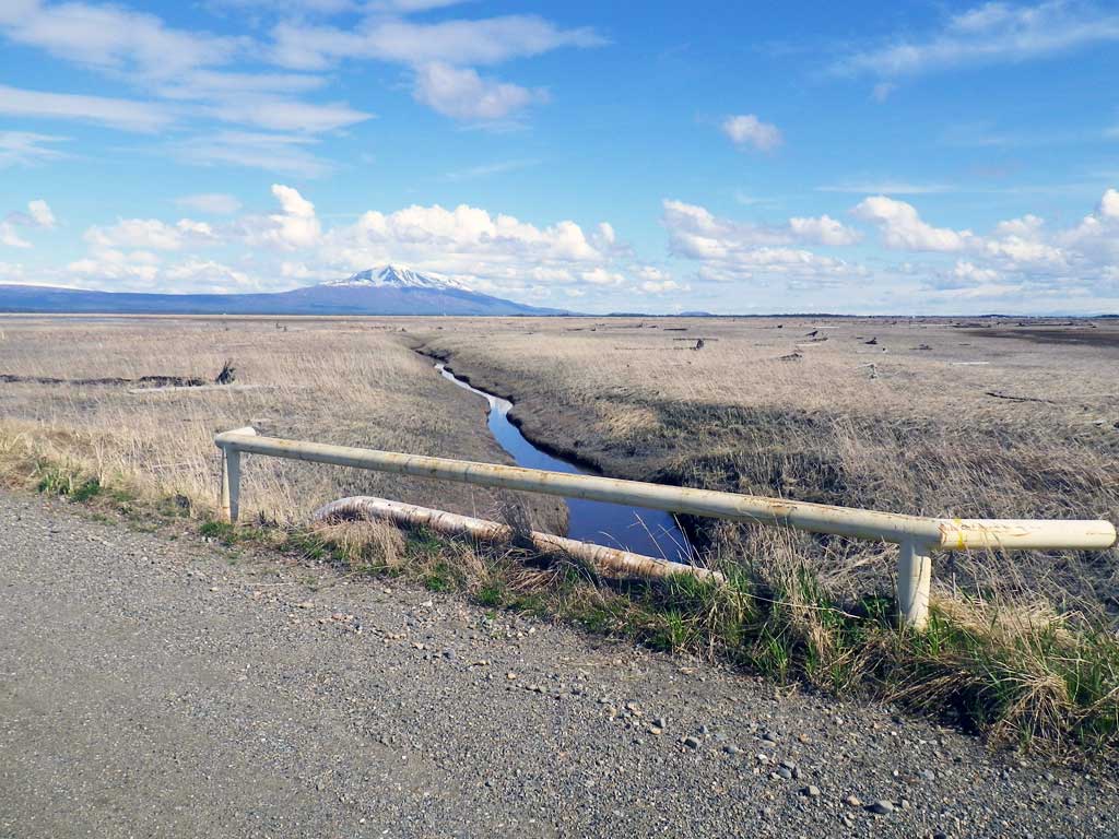
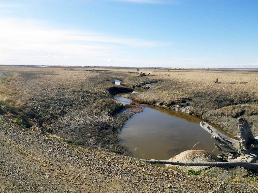
Tidal: Yes
Backwatered:
Step Pools:
Construction Year:
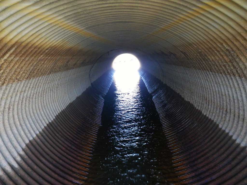
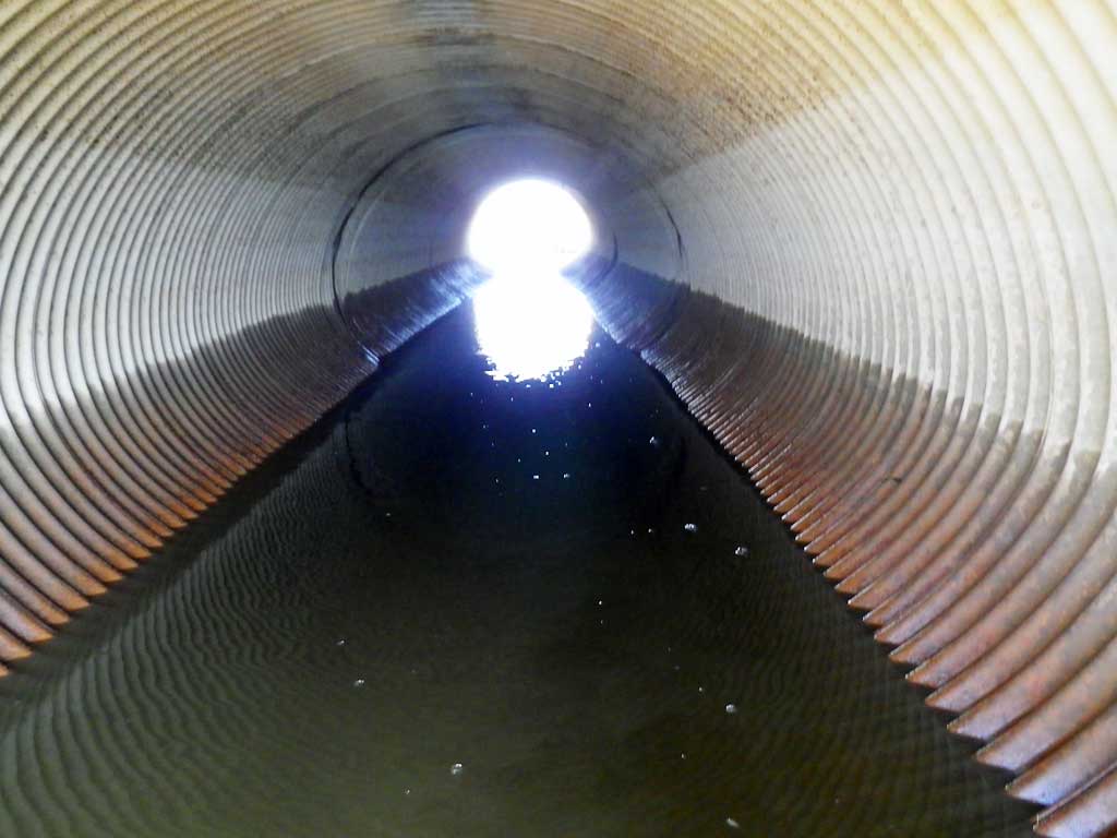
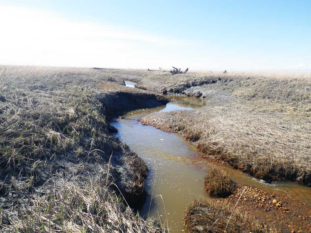
Comments: Tidal slough about 110 yards from gas pad. Site is a small tributary to the Lewis River and it's confluence is close to where the Lewis River meets Cook Inlet. Lewis River is cataloged for Coho, King, and Pink salmon and this tributary should be trapped to establish presence and usage.
Culvert Measurements
| ID: 1 | Structure Type:N/A | Fish Passage Rating: | |||||||||||||||||||||||||||||||||||||||||
|
|
|
|||||||||||||||||||||||||||||||||||||||||
Stream Measurements
|
|
No stream width data available.
Elevations
No elevation data available.
Fish Sampling Efforts
No fish sampling occurred during this survey.
Fish Observations
No fish observations occurred during this survey.
Photos

Questions or comments about this report can be directed to dfg.dsf.webmaster@alaska.gov