Fish Passage Site 20502152
Coordinates (dec. deg.): 62.37938°, -150.26729°
Legal Description: S027N005W31
Region: South Central
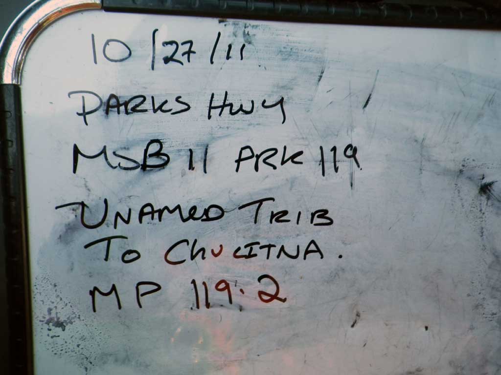
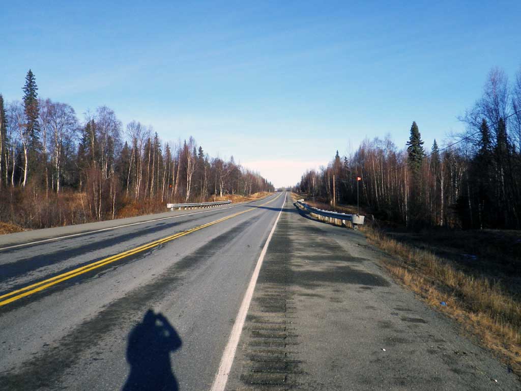
Road Name: Parks Highway
Datum: NAD83
Quad Name / ITM: Talkeetna B-1
AWC Stream #:
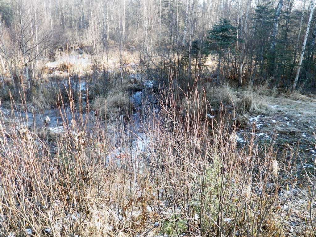
Stream Name: Chulitna River tributary
Elevation:
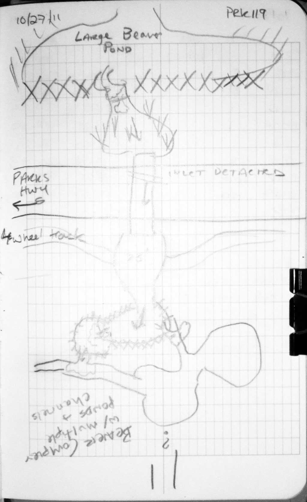
Site Comments: Site is at approx MP 119.2.
Survey MSB11-PRK119
Project Supervisor: Gillian O'Doherty, Alaska Department of Fish and Game
— Anchorage, AK
Observers: Gillian O'Doherty, Mark Eisenman
Overall Fish Passage Rating:
Tidal: No
Backwatered: No
Step Pools: No
Construction Year:
Site Observations:
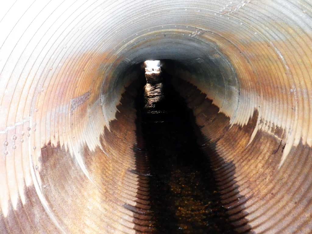
- Culvert gradient red
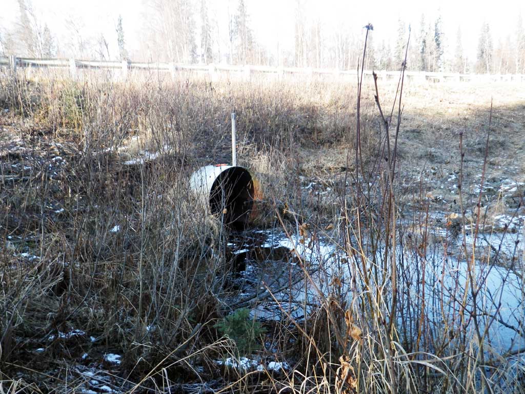
- Outfall height gray
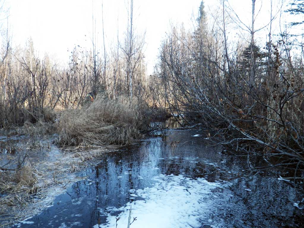
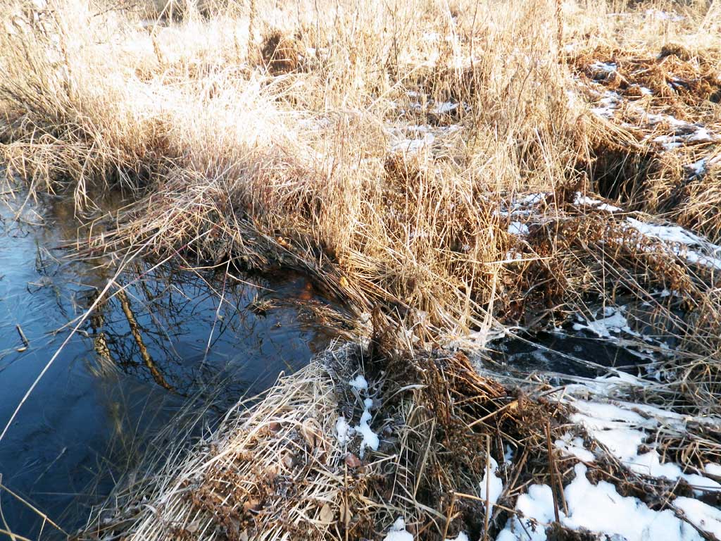
- Beaver Activity
- Culvert sagging in middle
- Compound gradient in pipe
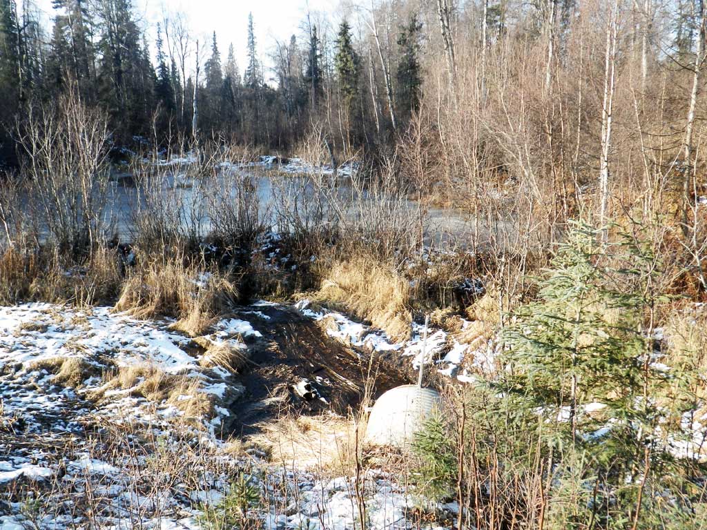
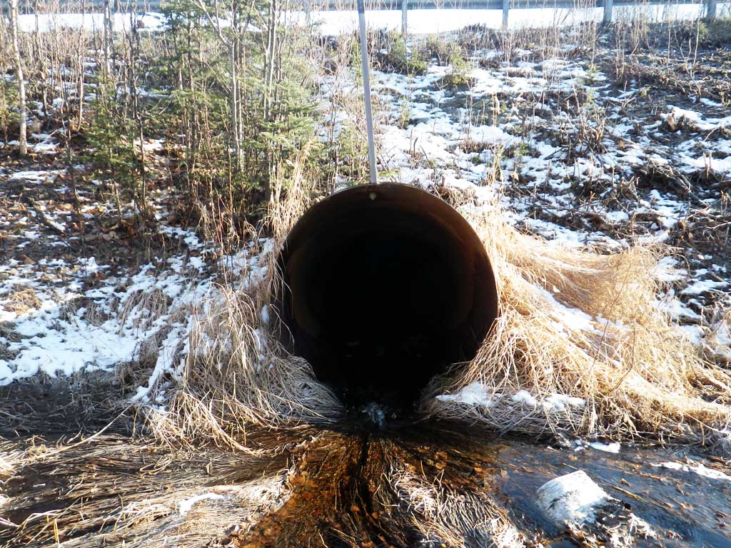
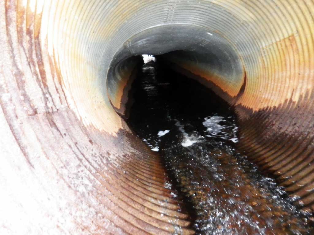
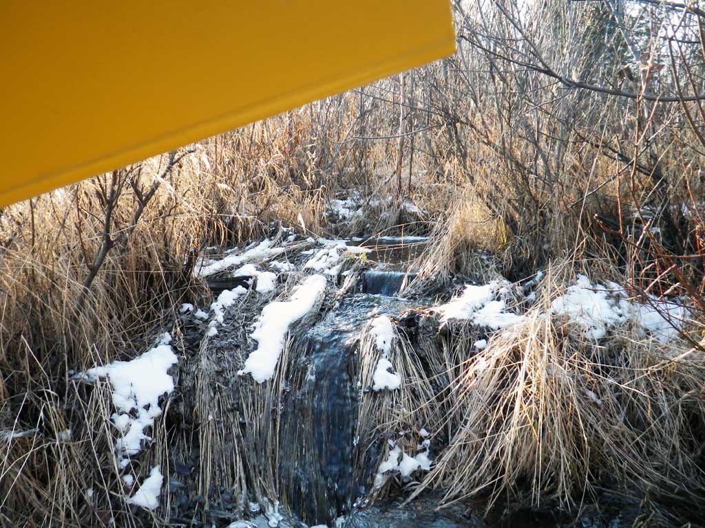
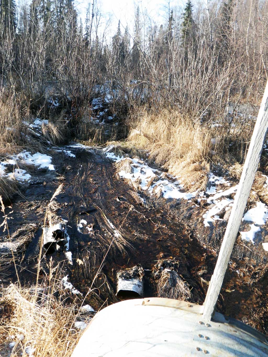
Comments: Culvert is badly damaged. Culvert is sagging in middle. Both the inlet and outlet are bent up. The inlet is severly bent and has seperated from the rest of the pipe creating a compound gradient in pipe. Max grad is probably well of 10%. The length of bent up pipe is 10 feet. Beaver dams above and below culvert create large elevation drops. Culvert is not blocked but there is a beaver dam about 25 feet upstream from inlet. Inlet and outlet are damaged and bent up. Inlet has separted and creates a 10 foot long compound gradient in pipe. Culvert is also sagging in middle. No traps set weather is too cold and no fish observed.
Culvert Measurements
| ID: 1 | Structure Type: Circular pipe (Corrugated steel) | Fish Passage Rating: | |||||||||||||||||||||||||||||||||||||||||
|
|
|
|||||||||||||||||||||||||||||||||||||||||
Culvert Observations:
|
|||||||||||||||||||||||||||||||||||||||||||
Stream Measurements
|
|
No stream width data available.
Elevations
| Locator ID | Culvert Number |
River Distance (ft)1 |
Distance From Crossing (ft)2 |
Relative Elevation (ft) |
|---|---|---|---|---|
| Road Elev | 98.95 | |||
| D/S Water Surface Elev (tailwater surface. Tail water control is a series of beaver dams. Max pool >3 feet.) | 0.00 | 82.58 | ||
| Outlet Invert (bottom of pipe) | 1.00 | 82.68 | ||
| D/S Water Surface Elev | 1.00 | 82.79 | ||
| Outlet Culvert Top | 1.00 | 87.77 | ||
| Inlet Culvert Top | 100.00 | 90.53 | ||
| Inlet Culvert Invert (bottom of pipe.) | 100.00 | 85.48 | ||
| U/S Water Surface Elev | 100.00 | 85.79 |
Notes:
- River distance is measured continuously throughout the survey reach along the thalweg of the stream.
- Measured from each end of the crossing along the thalweg of the stream.
Fish Sampling Efforts
No fish sampling occurred during this survey.
Fish Observations
No fish observations occurred during this survey.
Photos
Questions or comments about this report can be directed to dfg.dsf.webmaster@alaska.gov