Fish Passage Site 20502151
Coordinates (dec. deg.): 62.40329°, -150.25931°
Legal Description: S027N005W30
Region: South Central
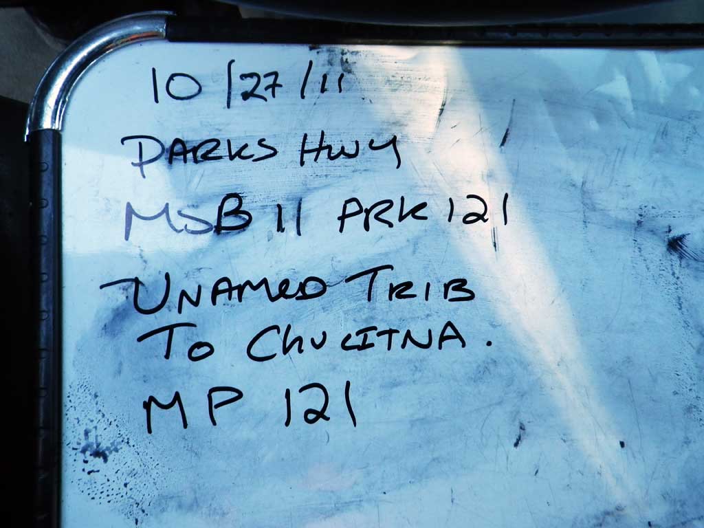
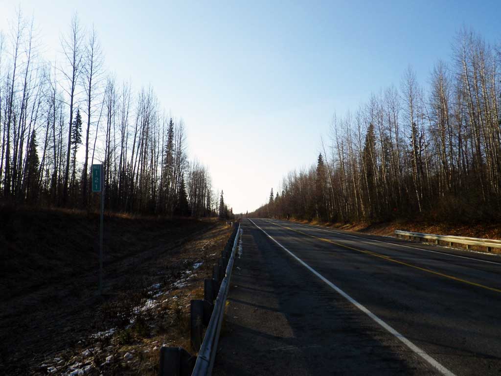
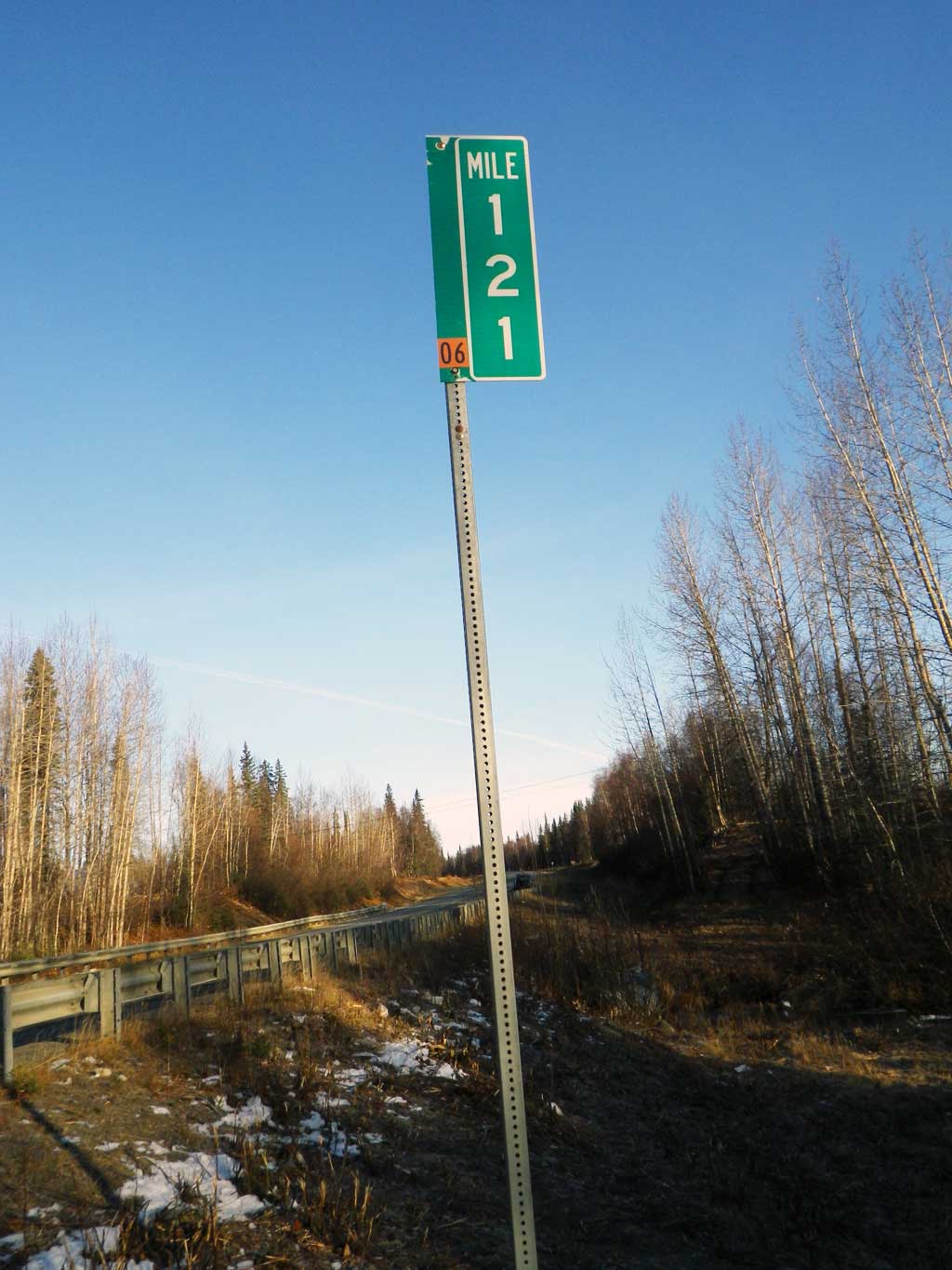
Road Name: Parks Highway
Datum: NAD83
Quad Name / ITM: Talkeetna B-1
AWC Stream #:
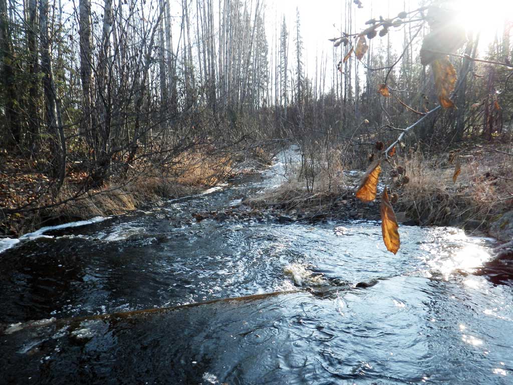
Stream Name: Chulitna River tributary
Elevation:
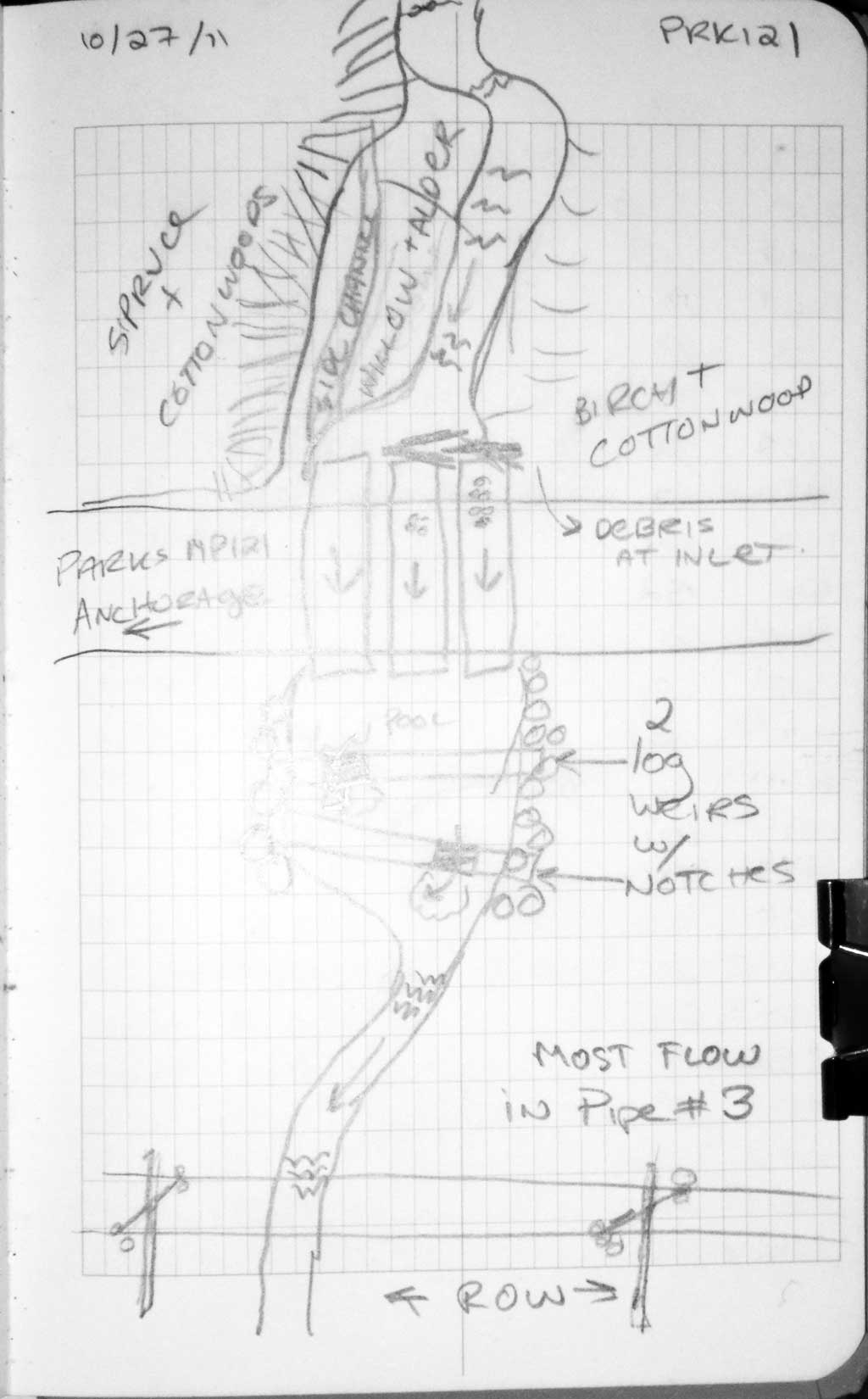
Site Comments: Stream is at MP 121.
Survey MSB11-PRK121
Project Supervisor: Gillian O'Doherty, Alaska Department of Fish and Game
— Anchorage, AK
Observers: Mark Eisenman, Gillian O'Doherty
Overall Fish Passage Rating:
Tidal: No
Backwatered: No
Step Pools: No
Construction Year:
Site Observations:
- Culvert gradient gray
- Debris Flow
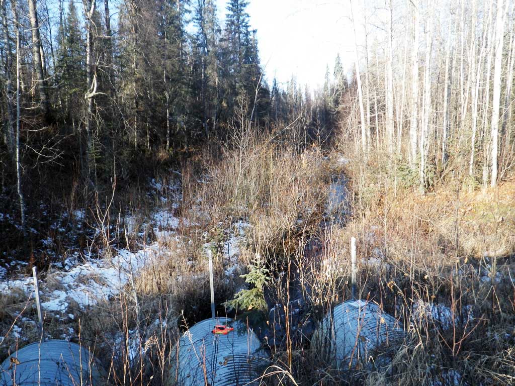
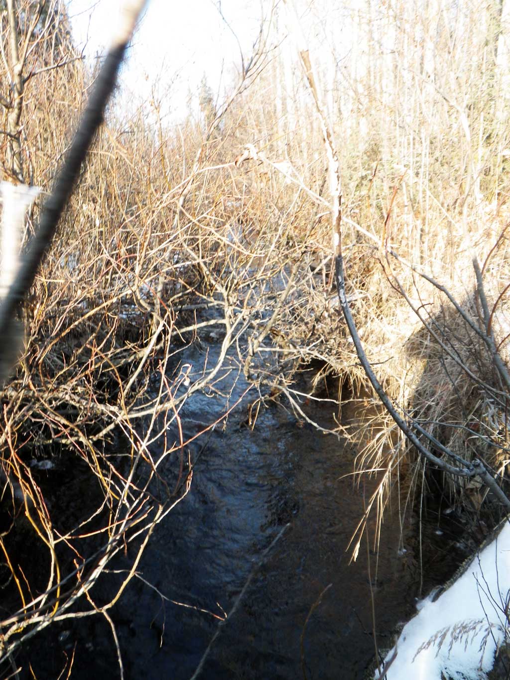
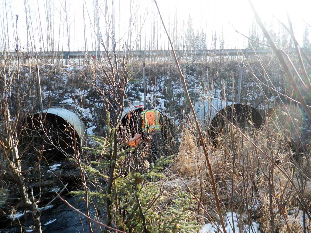
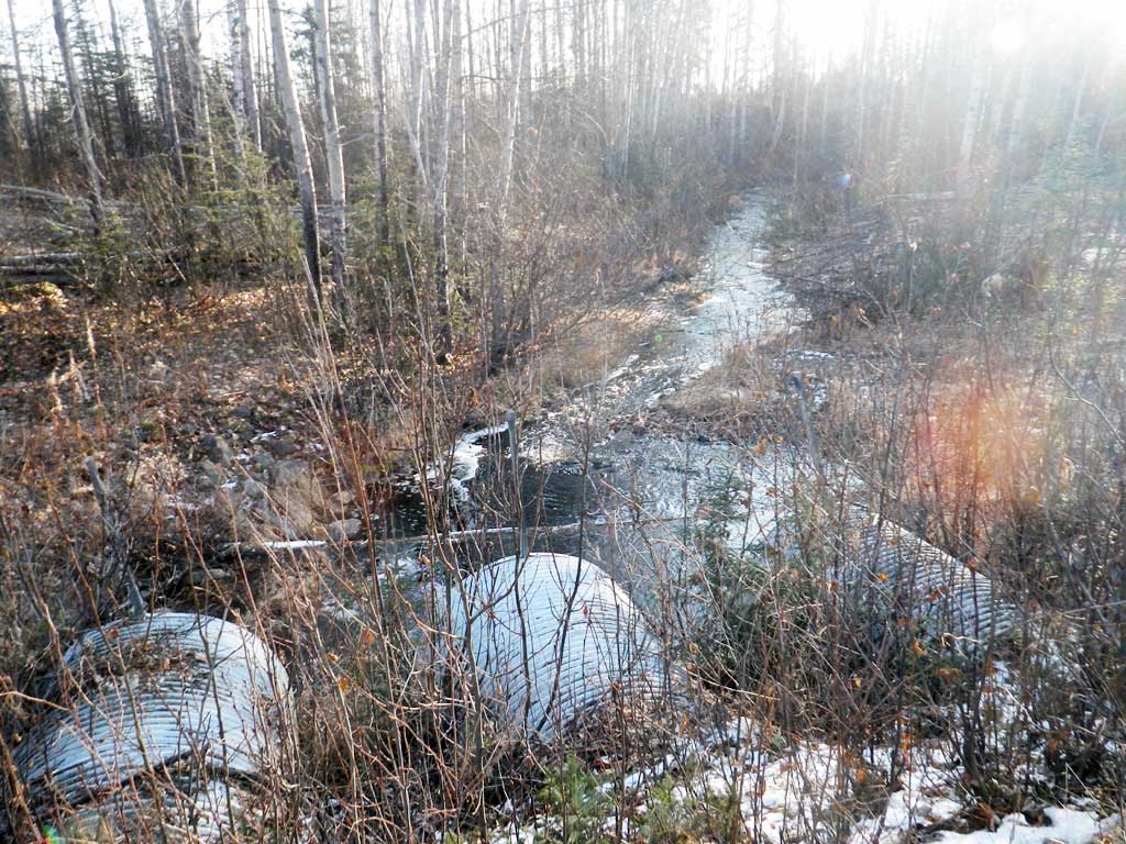
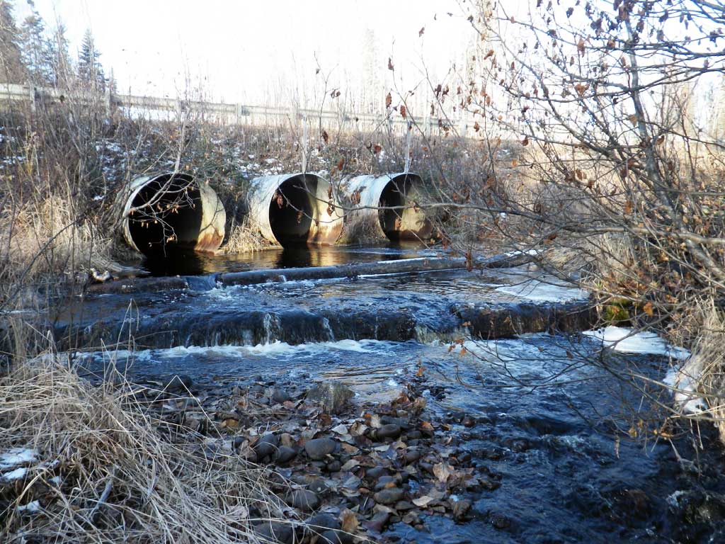
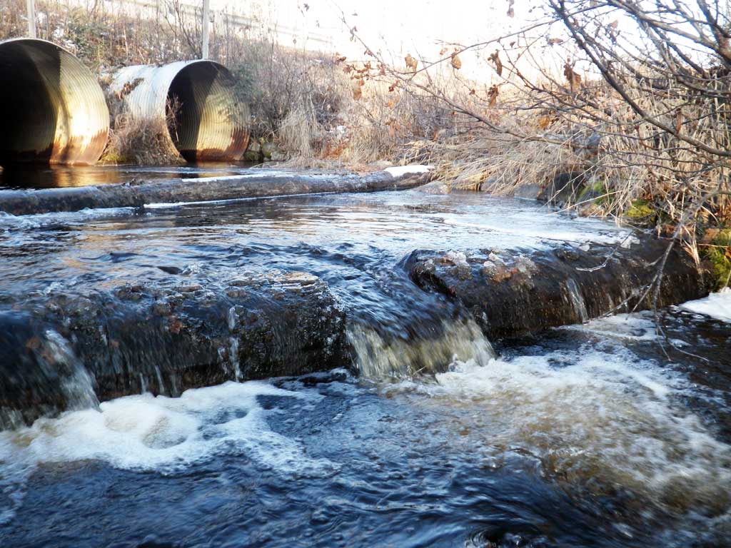
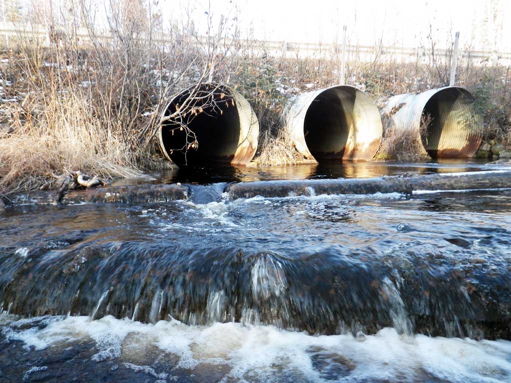
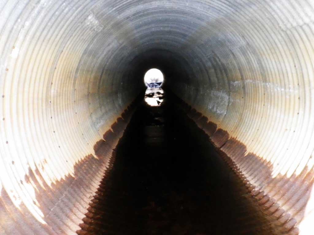
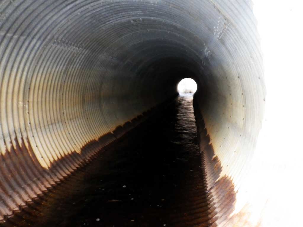
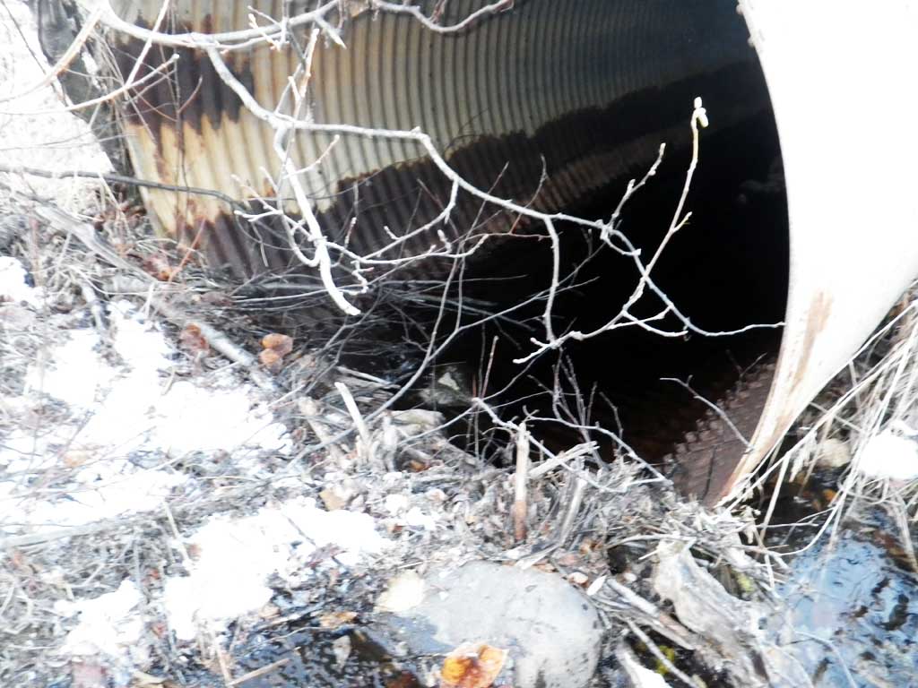
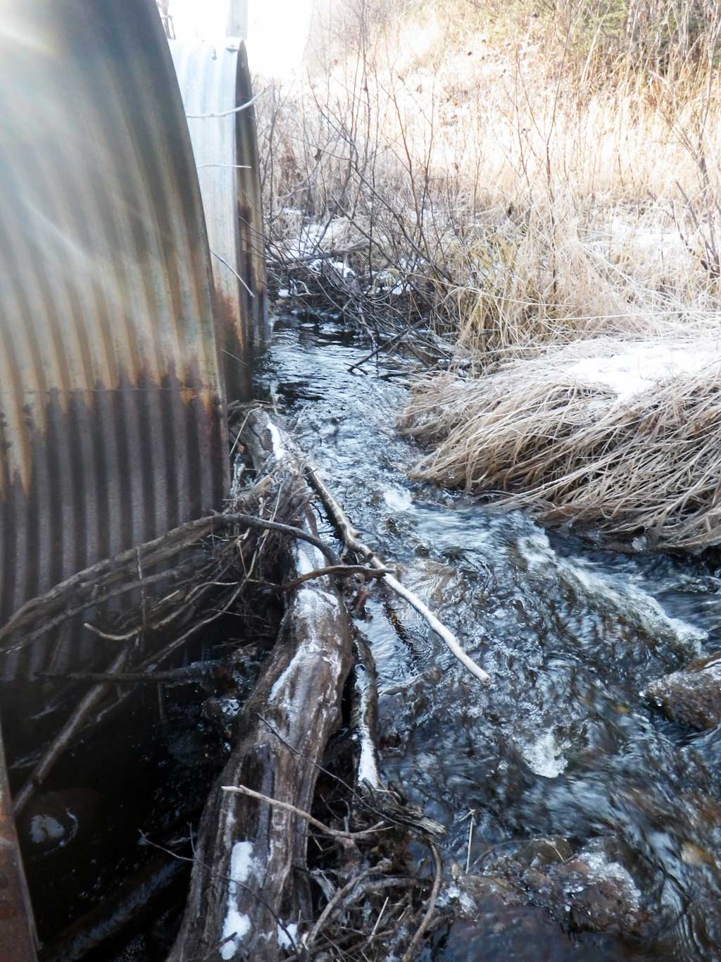
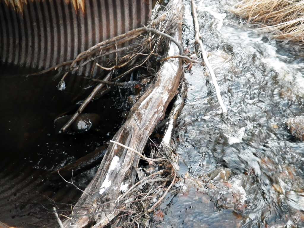
Comments: Site had a Fish Passage structure. 2 log wiers were downstream from outlets. Debris dams in front of culverts C1 and C2 force most of the flow of the stream into C3. Outfall height is the elevation drop from the tail water surface to the water surface below the log wier structure. Total drop is 1.37 feet. From tailwater to the water surface below first downstream log is 0.49 feet and from that pool to water surface below the second log wier is 0.88 feet. No traps were set in this stream. Stream is in AWC.
Culvert Measurements
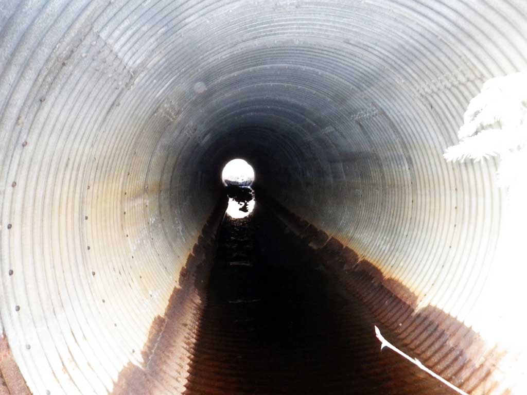
| ID: 1 | Structure Type: Circular pipe (Corrugated steel) | Fish Passage Rating: | |||||||||||||||||||||||||||||||||||||||||
|
|
|
|||||||||||||||||||||||||||||||||||||||||
Comments: Large debris dam in front of culvert. Most of the culvert is fairly clean. Dam forces water over to C3 and at time of survey was not taking any water in pipe. At higher flows the dam would probably create a large inlet perch. Outfall height is the elevation drop from the tail water surface to the water surface below the log wier structure. |
|||||||||||||||||||||||||||||||||||||||||||
Culvert Observations:
|
|||||||||||||||||||||||||||||||||||||||||||
| ID: 2 | Structure Type: Circular pipe (Corrugated steel) | Fish Passage Rating: | |||||||||||||||||||||||||||||||||||||||||
|
|
|
|||||||||||||||||||||||||||||||||||||||||
Comments: Culvert has a large debris dam forcing most of the stream flow into C3. Substrate depth at inlet is height of debris dam. Most of pipe is clear. Water from this pipe exits at grade to the upstream outlet pool. Outfall height is the total elevation drop from tailwater surface to the water surface downstream from the fish passage structure. |
|||||||||||||||||||||||||||||||||||||||||||
Culvert Observations:
|
|||||||||||||||||||||||||||||||||||||||||||
| ID: 3 | Structure Type: Circular pipe (Corrugated steel) | Fish Passage Rating: | |||||||||||||||||||||||||||||||||||||||||
|
|
|
|||||||||||||||||||||||||||||||||||||||||
Comments: This culverts takes most of the streams flow due to debris dams in front of C1 and C2. Pipe clean throughout. |
|||||||||||||||||||||||||||||||||||||||||||
Culvert Observations:
|
|||||||||||||||||||||||||||||||||||||||||||
Stream Measurements
|
|
| Stream Width Type | Distance From Crossing (ft) |
Stream Width (ft) |
|---|---|---|
| Upstream ordinary high water | 65.0 | 8.60 |
| Upstream ordinary high water | 165.0 | 13.00 |
| Upstream ordinary high water | 229.0 | 11.70 |
Elevations
| Locator ID | Culvert Number |
River Distance (ft)1 |
Distance From Crossing (ft)2 |
Relative Elevation (ft) |
|---|---|---|---|---|
| Road Elev | 97.67 | |||
| D/S Grade Ctrl (Thalweg) (head of riffle) | 0.00 | 84.15 | ||
| D/S Water Surface Elev | 0.00 | 84.78 | ||
| D/S Grade Ctrl (Thalweg) | 27.00 | 84.63 | ||
| D/S Water Surface Elev | 27.00 | 85.15 | ||
| D/S Grade Ctrl (Thalweg) (Notch in lower log wier) | 35.00 | 85.52 | ||
| D/S Water Surface Elev (water surface of pool above lower log wier) | 36.00 | 86.03 | ||
| D/S Tailcrest or 1st Thalweg (Notch in upper log wier Tail water control for culverts) | 47.00 | 85.70 | ||
| Max Pool Depth (Max outlet pool depth) | 52.00 | 84.86 | ||
| D/S Water Surface Elev (Tailwater surface above upper log wier) | 52.00 | 86.52 | ||
| D/S Water Surface Elev | 1 | 60.00 | 86.52 | |
| D/S Water Surface Elev | 2 | 60.00 | 86.52 | |
| Outlet Invert (bottom of pipe) | 2 | 60.00 | 85.81 | |
| Outlet Invert (bottom of pipe) | 1 | 60.00 | 85.86 | |
| Outlet Invert (bottom of pipe) | 3 | 60.00 | 85.65 | |
| D/S Water Surface Elev | 3 | 60.00 | 86.51 | |
| Outlet Culvert Top | 3 | 60.00 | 91.66 | |
| Outlet Culvert Top | 2 | 60.00 | 91.78 | |
| Outlet Culvert Top | 1 | 60.00 | 91.88 | |
| Inlet Culvert Top | 1 | 145.00 | 92.33 | |
| Inlet Culvert Top | 2 | 145.00 | 92.39 | |
| Inlet Culvert Top | 3 | 145.00 | 92.39 | |
| Inlet Culvert Invert (on top of woody debris dam) | 1 | 145.00 | 87.72 | |
| Inlet Culvert Invert (bottom of pipe) | 3 | 145.00 | 86.42 | |
| U/S Water Surface Elev (only culvert with flow through pipe at invert in.) | 3 | 145.00 | 87.16 | |
| Inlet Culvert Invert (on top of woody debris dam) | 2 | 145.00 | 87.24 | |
| U/S Water Surface Elev | 155.00 | 87.59 | ||
| U/S Grade Ctrl (Thalweg) (Distance measured from C3 that takes all the flow) | 155.00 | 87.05 |
Notes:
- River distance is measured continuously throughout the survey reach along the thalweg of the stream.
- Measured from each end of the crossing along the thalweg of the stream.
Fish Sampling Efforts
No fish sampling occurred during this survey.
Fish Observations
No fish observations occurred during this survey.
Photos
Questions or comments about this report can be directed to dfg.dsf.webmaster@alaska.gov